Drumblair Wood

Wood, Forest in Aberdeenshire

Scotland

Drumblair Wood

Road looking southeast
Road looking southeast Credit: Alex McGregor

Drumblair Wood is a picturesque forest located in Aberdeenshire, Scotland. Covering an area of approximately 100 hectares, it is a popular destination for nature enthusiasts and outdoor lovers. The wood is situated near the village of Drumblair, just a few miles away from the town of Huntly.

The woodland is predominantly made up of native trees, including oak, birch, and rowan, creating a diverse and vibrant ecosystem. The canopy of the forest provides a sheltered habitat for a variety of bird species, such as woodpeckers, tits, and finches. Additionally, the forest floor is home to an array of ferns, mosses, and wildflowers, adding to the overall beauty and biodiversity of the area.

Drumblair Wood offers several walking trails, allowing visitors to explore its natural wonders. These paths meander through the forest, offering glimpses of stunning views and peaceful surroundings. The wood is also intersected by a small river, providing a tranquil spot for picnics or simply enjoying the sounds of nature.

The wood has historical significance as well, with remnants of an ancient stone circle located within its boundaries. This adds an element of intrigue and mystery to the area, attracting history enthusiasts and archaeology buffs.

Overall, Drumblair Wood in Aberdeenshire is a captivating destination, offering a peaceful retreat for those seeking to immerse themselves in nature. With its diverse flora and fauna, scenic trails, and historical significance, it is a must-visit location for anyone exploring the beauty of Scotland's countryside.

If you have any feedback on the listing, please let us know in the comments section below.

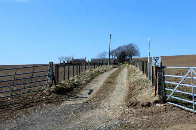
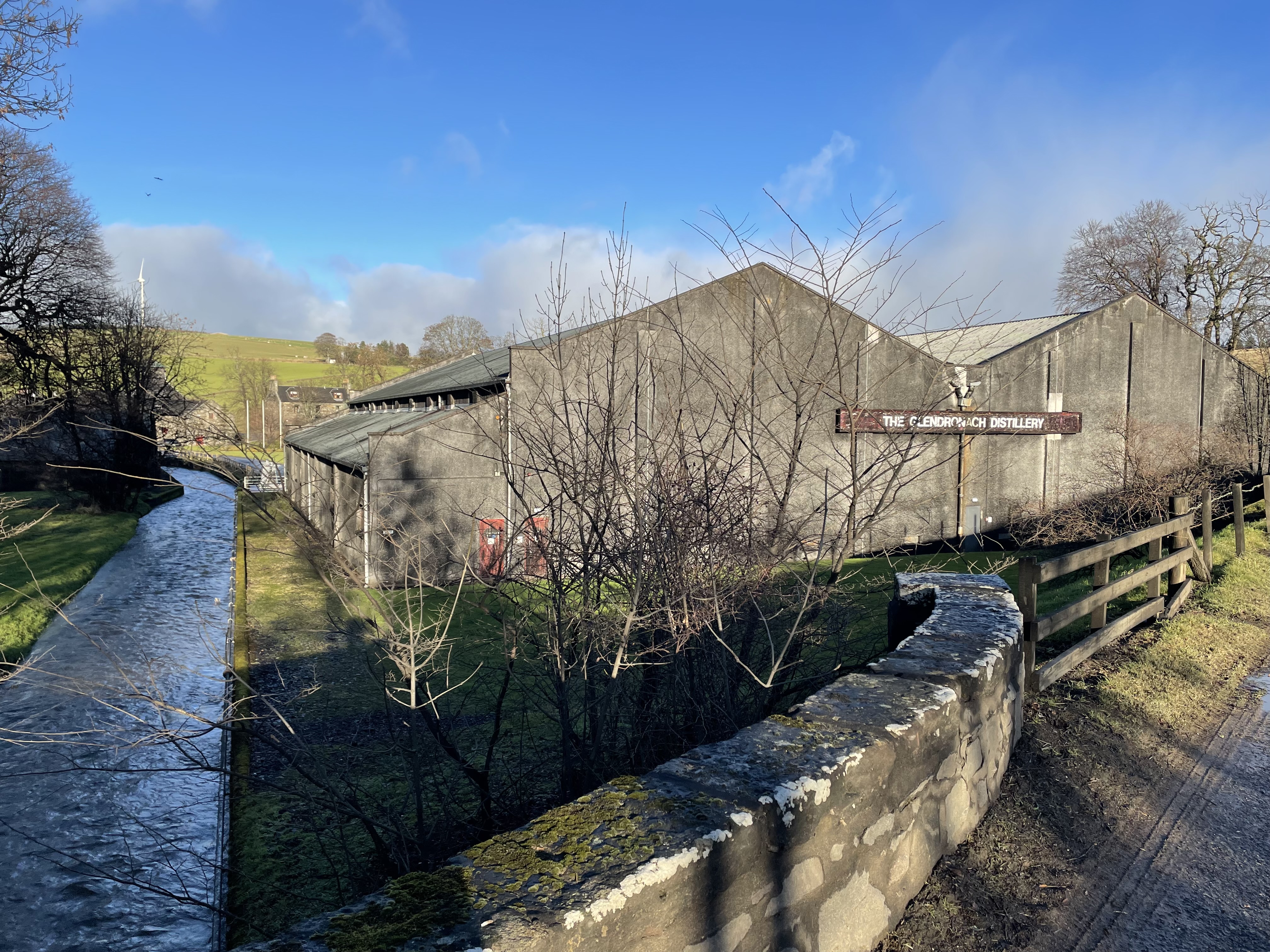
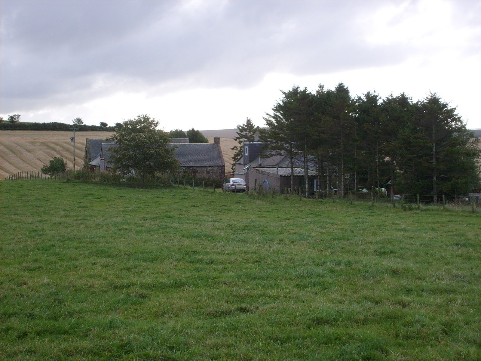
Drumblair Wood Images

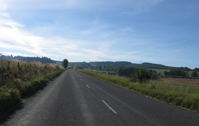
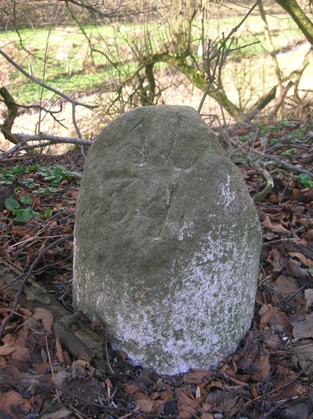
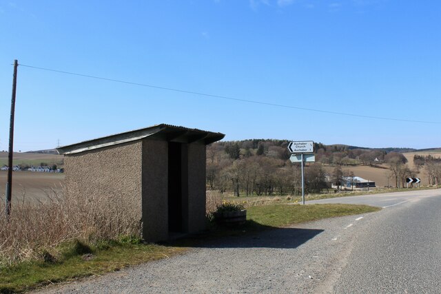
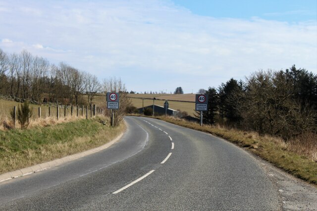
Images are sourced within 2km of 57.472877/-2.5833622 or Grid Reference NJ6542. Thanks to Geograph Open Source API. All images are credited.

Road looking southeast
Entrance to Largue
Entrance to Largue
Old Milestone by the B9001, Largue, Forgue Parish Double bevel by the B9001, in parish of Forgue (Grampian District), East end of Largue, opposite Taigh an Achaldh, South side of road.

Inscription reads:- : Ab(erdeen) / 33 : : In(verurie) / 17 : 

Surveyed

Milestone Society National ID: AD_ADIU33
Old Milestone by the B9001, Largue, Forgue Parish
Double bevel by the B9001, in parish of Forgue (Grampian District), East end of Largue, opposite Taigh an Achaldh, South side of road. Inscription reads:- : Ab(erdeen) / 33 : : In(verurie) / 17 : Surveyed Milestone Society National ID: AD_ADIU33
Old Milestone by the B9001, Drumblair Cottage, Forgue parish Double bevel by the B9001, in parish of Forgue (Grampian District), South of Drumblair, opposite Drumblair Cottage.

Inscription reads:-
: 34 : : 18
(To Aberdeen and Inverurie)

Surveyed

Milestone Society National ID: AD_ADIU34
Old Milestone by the B9001, Drumblair Cottage, Forgue parish
Double bevel by the B9001, in parish of Forgue (Grampian District), South of Drumblair, opposite Drumblair Cottage. Inscription reads:- : 34 : : 18 (To Aberdeen and Inverurie) Surveyed Milestone Society National ID: AD_ADIU34
Old Milestone by the B9001, near Balgaveny, Forgue parish Double bevel by the B9001, in parish of Forgue (Grampian District), Northwest of Balgaveny, opposite and just Southeast of lane to Haremoss.

Inscription reads:-
: Ab / 32 : : In / 16 :
(To Aberdeen and Inverurie) 

Surveyed

Milestone Society National ID: AD_ADIU32
Old Milestone by the B9001, near Balgaveny, Forgue parish
Double bevel by the B9001, in parish of Forgue (Grampian District), Northwest of Balgaveny, opposite and just Southeast of lane to Haremoss. Inscription reads:- : Ab / 32 : : In / 16 : (To Aberdeen and Inverurie) Surveyed Milestone Society National ID: AD_ADIU32
North Mains of Balgaveny North Mains lying by a dip in the road at Balgaveny, Denmoss behind.
North Mains of Balgaveny
North Mains lying by a dip in the road at Balgaveny, Denmoss behind.
Knows Ruin What appears to be a ruined croft at Knows of Balgaveny. This could be the site of an early smithy as on the 1888-1914 the Knows of Balgaveny are shown as "Smithy".
Knows Ruin
What appears to be a ruined croft at Knows of Balgaveny. This could be the site of an early smithy as on the 1888-1914 the Knows of Balgaveny are shown as "Smithy".
Bus Shelter by Auchaber Road A bus shelter by the junction on the Auchaber road and the B9001 by Largue.
Bus Shelter by Auchaber Road
A bus shelter by the junction on the Auchaber road and the B9001 by Largue.
Slow For Largue Speed signs on the B9001 as it enters Largue from the west.
Slow For Largue
Speed signs on the B9001 as it enters Largue from the west.
Woodside of Balgaveny Looking down on Woodside of Balgaveny the B9001 passing by unseen .
Woodside of Balgaveny
Looking down on Woodside of Balgaveny the B9001 passing by unseen .
Denmoss Farm The Farm of Denmoss from further up its eponymous hill and a pond by Balgaveny House in the Den of Largue visible on the left.
Denmoss Farm
The Farm of Denmoss from further up its eponymous hill and a pond by Balgaveny House in the Den of Largue visible on the left.
Access to Upper Lenshie The access road to Upper Lenshie Farm.
Access to Upper Lenshie
The access road to Upper Lenshie Farm.
Hill of Denmoss Turbine A wind turbine near woodland on Hill of Denmoss.
Hill of Denmoss Turbine
A wind turbine near woodland on Hill of Denmoss.
Denmoss Mast A seemingly new telecommunication mast atop Denmoss Hill.
Denmoss Mast
A seemingly new telecommunication mast atop Denmoss Hill.
South Tollo South Tollo Farm with a few changes since the previous photo <a href="https://www.geograph.org.uk/photo/969950">NJ6543 : South Tollo</a> by Anne Burgess.
South Tollo
South Tollo Farm with a few changes since the previous photo NJ6543 : South Tollo by Anne Burgess.
Woodlands by Tollo The smallholding of Woodlands in woodland near Reith Hill.
Woodlands by Tollo
The smallholding of Woodlands in woodland near Reith Hill.
Hilton of Tollo The access road and farm at Hilton of Tollo.
Hilton of Tollo
The access road and farm at Hilton of Tollo.
Largue and Drumblair This is the view from Hawk Hill across the Burn of Templeland. On the right is the farm of Brae of Largue, and the white buildings are Braeside. Drumblair is further left. The maps don't name the hill.
Largue and Drumblair
This is the view from Hawk Hill across the Burn of Templeland. On the right is the farm of Brae of Largue, and the white buildings are Braeside. Drumblair is further left. The maps don't name the hill.
Show me another place!

Drumblair Wood is located at Grid Ref: NJ6542 (Lat: 57.472877, Lng: -2.5833622)

Unitary Authority: Aberdeenshire

Police Authority: North East

What 3 Words

///eyepieces.photos.snatched. Near Rothienorman, Aberdeenshire

Related Wikis

Nearby Amenities

Located within 500m of 57.472877,-2.5833622
Hill of Denmoss
Ele: 232
Natural: peak
Lat/Long: 57.4695568/-2.5788616
Power: pole
Lat/Long: 57.476976/-2.5808656
Power: pole
Lat/Long: 57.4767753/-2.5820484
Power: pole
Lat/Long: 57.4765276/-2.5835039
Power: pole
Lat/Long: 57.4763425/-2.5845681
Power: pole
Lat/Long: 57.4761334/-2.5858179
Power: pole
Lat/Long: 57.4758328/-2.5771006
Power: pole
Lat/Long: 57.4754037/-2.5774359
Power: pole
Lat/Long: 57.4747534/-2.577939
Power: pole
Lat/Long: 57.4742761/-2.5783057
The data included in this document is from www.openstreetmap.org. The data is made available under ODbL.

Have you been to Drumblair Wood?

Leave your review of Drumblair Wood below (or comments, questions and feedback).