Cockthorn and Quarry Strip

Wood, Forest in Roxburghshire

Scotland

Cockthorn and Quarry Strip

Crop field near Rutherford Burnside Towards Hardie's Burn Strip woodland.
Crop field near Rutherford Burnside Credit: JThomas

Cockthorn and Quarry Strip, located in Roxburghshire, Scotland, are two woodlands that form part of the extensive forested landscape in the region. These woodlands are nestled in a picturesque countryside, characterized by rolling hills and lush greenery.

Cockthorn is a small woodland, covering an area of approximately 10 acres. It is predominantly composed of native tree species such as oak, birch, and hazel. The woodland is known for its rich biodiversity, providing a habitat for various wildlife species including birds, small mammals, and insects. The dense canopy of trees creates a serene and peaceful atmosphere, making it a popular spot for nature enthusiasts and walkers.

Adjacent to Cockthorn is Quarry Strip, which is a larger woodland spanning around 25 acres. As the name suggests, this woodland was once used as a quarry for extracting sandstone. Today, the quarry has been transformed into a nature reserve, with the land being reclaimed by nature. The woodland comprises a mix of conifers and broadleaf trees, offering a diverse range of habitats for flora and fauna.

Both Cockthorn and Quarry Strip are managed by a local conservation group, ensuring the protection and preservation of these valuable natural resources. The woodlands are open to the public and provide opportunities for recreational activities such as hiking, birdwatching, and photography. These woodlands not only contribute to the scenic beauty of the area but also play a crucial role in supporting the local ecosystem and promoting biodiversity.

If you have any feedback on the listing, please let us know in the comments section below.

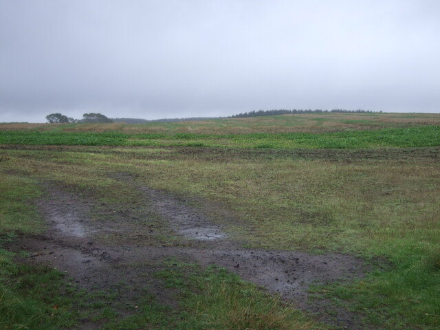
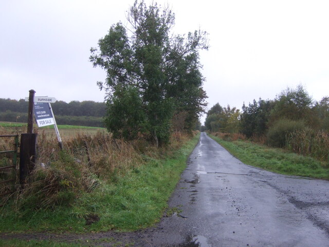
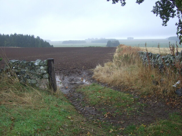
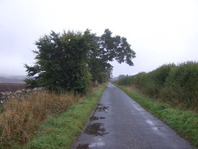
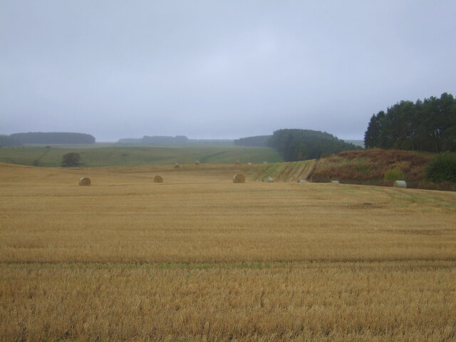
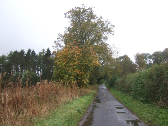
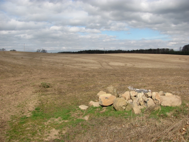
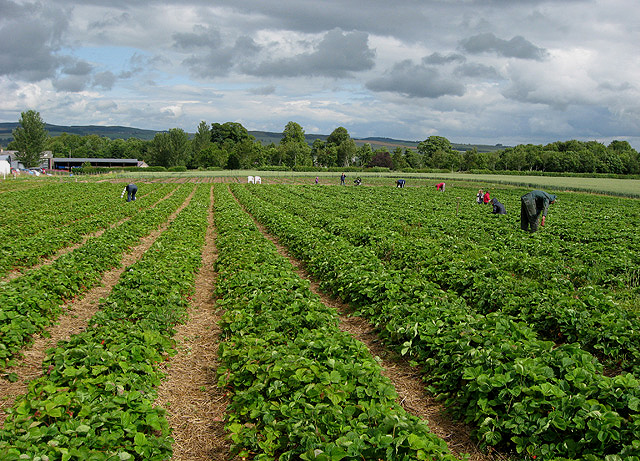
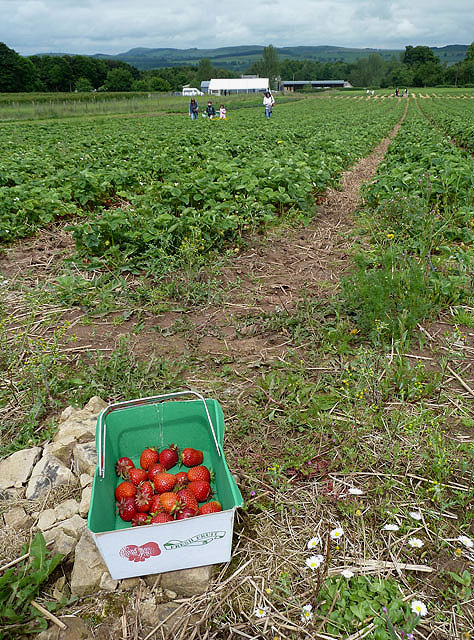
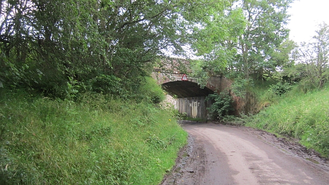
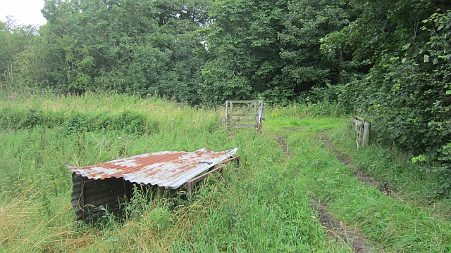
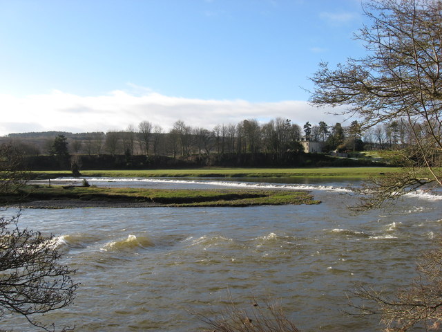
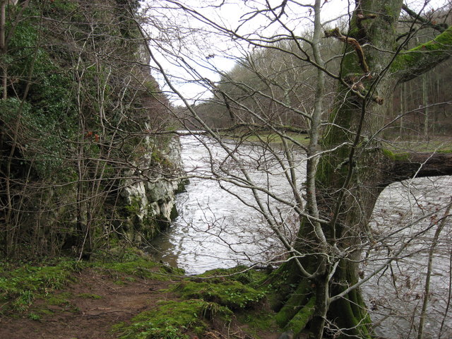
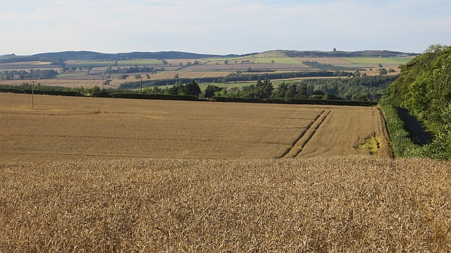
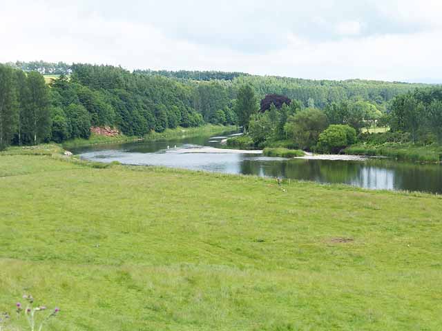
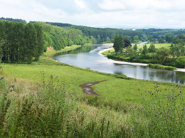
Cockthorn and Quarry Strip Images

Images are sourced within 2km of 55.563235/-2.5500368 or Grid Reference NT6530. Thanks to Geograph Open Source API. All images are credited.

Crop field near Rutherford Burnside Towards Hardie's Burn Strip woodland.
Crop field near Rutherford Burnside
Towards Hardie's Burn Strip woodland.
Minor road near Rutherford Burnside Towards Pirnie.
Minor road near Rutherford Burnside
Towards Pirnie.
Field entrance near Pirnie
Minor road towards Pirnie
Stubble field, Pirnie Bales still out on the field.
Stubble field, Pirnie
Bales still out on the field.
Minor road, Pirnie On a damp morning in Autumn.
Minor road, Pirnie
On a damp morning in Autumn.
Arable land, Rutherford Burnside Several fields here have recently accumulated piles of stones. This suggests a recent switch to arable use.
Arable land, Rutherford Burnside
Several fields here have recently accumulated piles of stones. This suggests a recent switch to arable use.
Rutherford Burnside Newly emerging cereal crop in dry conditions.
Rutherford Burnside
Newly emerging cereal crop in dry conditions.
Border Berries at Rutherford Farm Two large fields on the south side of the main farm buildings are used during the summer months as a pick your own fruit farm. The main fruits are strawberries, raspberries, gooseberries, red currants and black currants. On this occasion I was picking strawberries.
Border Berries at Rutherford Farm
Two large fields on the south side of the main farm buildings are used during the summer months as a pick your own fruit farm. The main fruits are strawberries, raspberries, gooseberries, red currants and black currants. On this occasion I was picking strawberries.
Border Berries A large area on the south side of Rutherford Farm buildings is used during the summer months as a pick your own fruit farm. The main fruits are strawberries, raspberries, gooseberries, red currants, black currants, Tay berries and black berries. Due to an unseasonably cold spring and recent inclement weather some fruits will ripen later than usual but strawberries were ready for picking on my visit.
Border Berries
A large area on the south side of Rutherford Farm buildings is used during the summer months as a pick your own fruit farm. The main fruits are strawberries, raspberries, gooseberries, red currants, black currants, Tay berries and black berries. Due to an unseasonably cold spring and recent inclement weather some fruits will ripen later than usual but strawberries were ready for picking on my visit.
The "Hoot Bridge", Rutherford Overbridge which carried the Kelso Branch over a minor road. There is a sharp left on the other side - hence the owl message <a href="https://www.geograph.org.uk/photo/1988949">NT6430 : Motorists, hoot your horn!</a>.
The "Hoot Bridge", Rutherford
Overbridge which carried the Kelso Branch over a minor road. There is a sharp left on the other side - hence the owl message NT6430 : Motorists, hoot your horn!.
Kelso Branch Railway A track allows farm access to the trackbed which is used as field access here.
Kelso Branch Railway
A track allows farm access to the trackbed which is used as field access here.
Tweed flood plain near Rutherford Grassland beside the Tweed.
Tweed flood plain near Rutherford
Grassland beside the Tweed.
The Weir at Rutherford Lodge Crossing the Tweed from bank to bank this weir may well be the longest on the river. In spate conditions it's certainly one of the noisiest.
The Weir at Rutherford Lodge
Crossing the Tweed from bank to bank this weir may well be the longest on the river. In spate conditions it's certainly one of the noisiest.
'Footpaths End' This footpath near Corbie Craigs by the River Tweed suddenly ends,needing one to detour somewhat. Unless of course you can walk on water.
'Footpaths End'
This footpath near Corbie Craigs by the River Tweed suddenly ends,needing one to detour somewhat. Unless of course you can walk on water.
Wheat, Rutherford The excellent harvest weather of 2013.
Wheat, Rutherford
The excellent harvest weather of 2013.
Bend on the River Tweed at Dalcove Braes A small red sandstone cliff has been exposed on the outside of the bend, whilst there is a shoal on the inside of the bend.
Bend on the River Tweed at Dalcove Braes
A small red sandstone cliff has been exposed on the outside of the bend, whilst there is a shoal on the inside of the bend.
Bend on the River Tweed Seen from Dalcove Braes. A small red sandstone cliff has been exposed on the outside of the bend, whilst there is a shoal on the inside of the bend. It is possible to make out the Cheviot Hills in the distance.
Bend on the River Tweed
Seen from Dalcove Braes. A small red sandstone cliff has been exposed on the outside of the bend, whilst there is a shoal on the inside of the bend. It is possible to make out the Cheviot Hills in the distance.
Show me another place!

Cockthorn and Quarry Strip is located at Grid Ref: NT6530 (Lat: 55.563235, Lng: -2.5500368)

Unitary Authority: The Scottish Borders

Police Authority: The Lothians and Scottish Borders

What 3 Words

///outwit.excavate.walnuts. Near Saint Boswells, Scottish Borders

Related Wikis

Nearby Amenities

Located within 500m of 55.563235,-2.5500368
Power: pole
Lat/Long: 55.5629145/-2.5425774
Power: pole
Lat/Long: 55.563331/-2.5434297
Power: pole
Lat/Long: 55.5637576/-2.5443078
Power: pole
Lat/Long: 55.564193/-2.5452013
Power: pole
Lat/Long: 55.5646342/-2.546082
Power: pole
Lat/Long: 55.5652734/-2.5466356
Power: pole
Lat/Long: 55.5658966/-2.5471583
Power: pole
Lat/Long: 55.5665518/-2.5477119
Power: pole
Lat/Long: 55.5671706/-2.5482372
The data included in this document is from www.openstreetmap.org. The data is made available under ODbL.

Have you been to Cockthorn and Quarry Strip?

Leave your review of Cockthorn and Quarry Strip below (or comments, questions and feedback).