Dipper Wood

Wood, Forest in Berwickshire

Scotland

Dipper Wood

The valley of the Dye Water Looking down from Dunside Hill, from the Fallago Rig Wind Farm access road.
The valley of the Dye Water Credit: M J Richardson

The requested URL returned error: 429 Too Many Requests

If you have any feedback on the listing, please let us know in the comments section below.
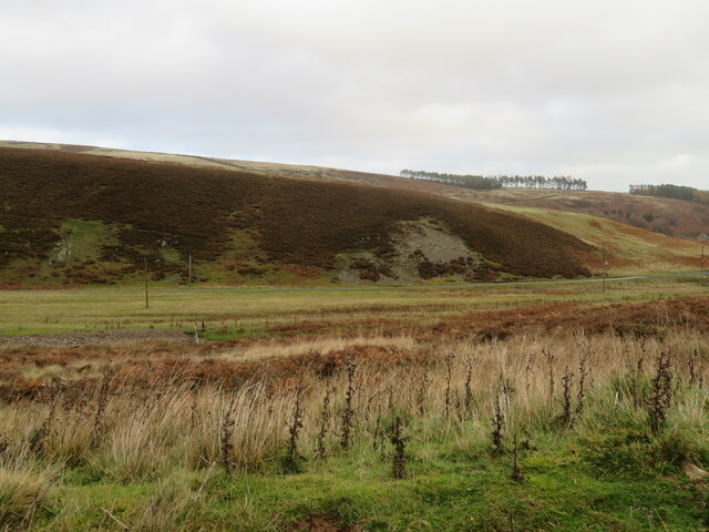
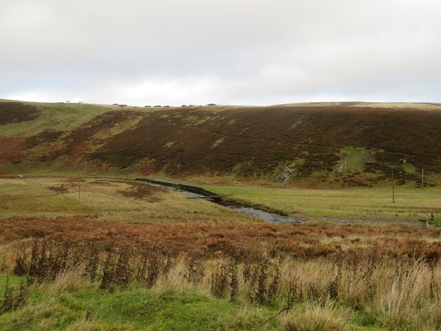
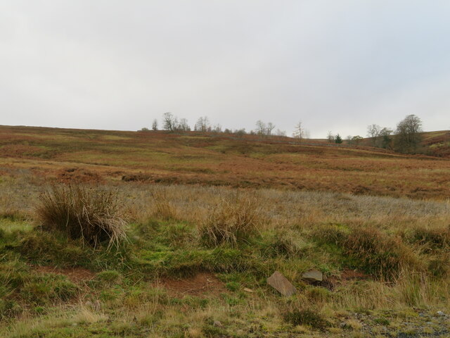
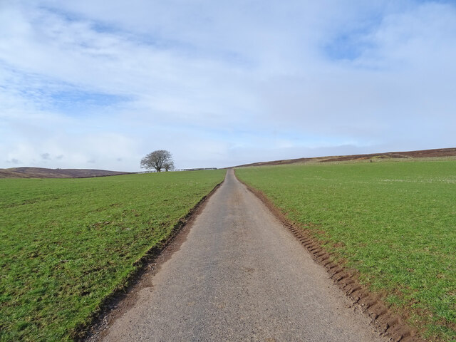
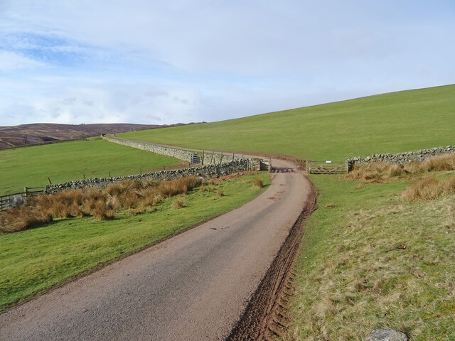
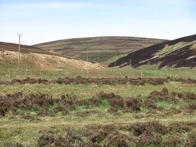
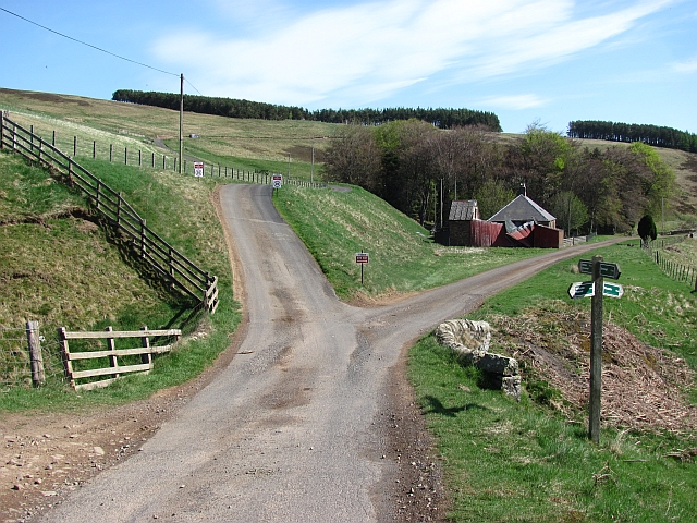
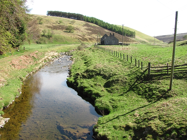
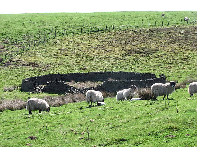
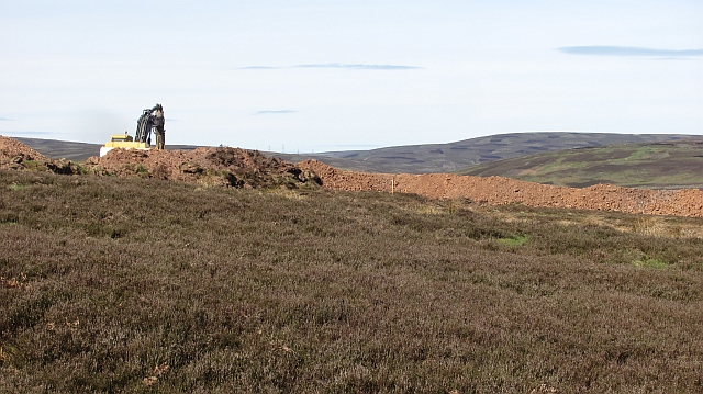
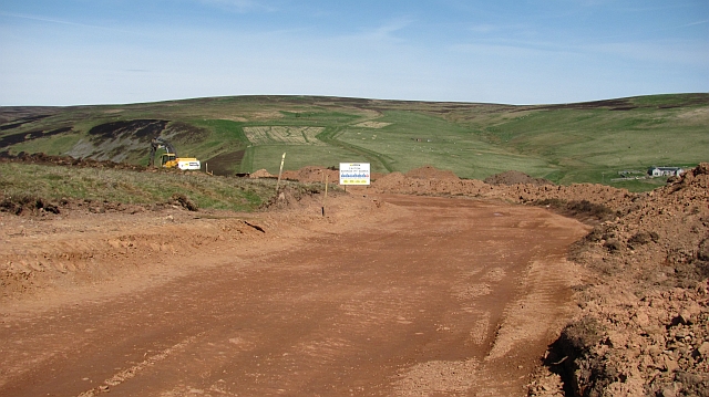
Dipper Wood Images

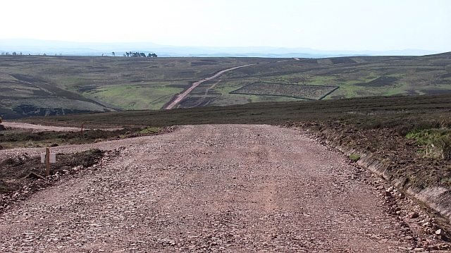
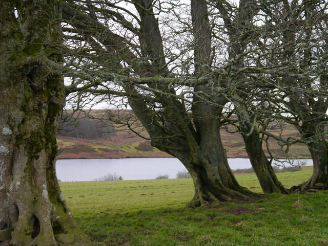
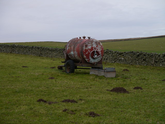
Images are sourced within 2km of 55.8196/-2.5487338 or Grid Reference NT6558. Thanks to Geograph Open Source API. All images are credited.
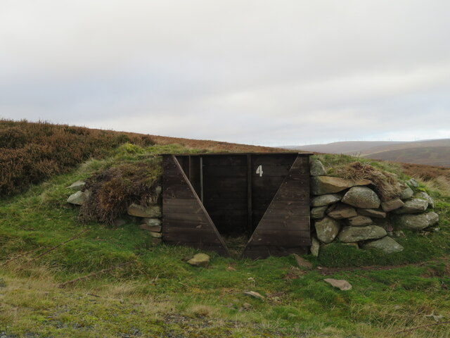
The valley of the Dye Water Looking down from Dunside Hill, from the Fallago Rig Wind Farm access road.
The valley of the Dye Water
Looking down from Dunside Hill, from the Fallago Rig Wind Farm access road.
Footbridge across the Dye Water Looking down from Dunside Hill, from the Fallago Rig Wind Farm access road.
Footbridge across the Dye Water
Looking down from Dunside Hill, from the Fallago Rig Wind Farm access road.
Dunside Wood A small and rather scrappy wood on Dunside Hill and in Wester Stop Cleugh.
Dunside Wood
A small and rather scrappy wood on Dunside Hill and in Wester Stop Cleugh.
Grouse Butt on Dunside Hill One of a series alongside a moorland track in the Lammermuir Hills.
Grouse Butt on Dunside Hill
One of a series alongside a moorland track in the Lammermuir Hills.
Memorial [?] pillar on Dunside Hill Just off the Fallago Rig Wind Farm access road at the col between Dunside Hill and Scar Law. Inscribed J.O.H. 1994, but I have yet to find anything more about it.
Memorial [?] pillar on Dunside Hill
Just off the Fallago Rig Wind Farm access road at the col between Dunside Hill and Scar Law. Inscribed J.O.H. 1994, but I have yet to find anything more about it.
Road to Scarlaw Although tarmacked this is not a public road. Part of the Southern Upland Way and also the most easterly route of the Herring Road. This is the view west just after leaving the fishery at Watch Water Reservoir, and in the distance you can just make out Twin Law, though not the cairns on this hill.
Road to Scarlaw
Although tarmacked this is not a public road. Part of the Southern Upland Way and also the most easterly route of the Herring Road. This is the view west just after leaving the fishery at Watch Water Reservoir, and in the distance you can just make out Twin Law, though not the cairns on this hill.
On the Way In this case not only the way to Scarlaw farm but also the Southern Upland Way with the hill of Twin Law in the distance.
On the Way
In this case not only the way to Scarlaw farm but also the Southern Upland Way with the hill of Twin Law in the distance.
Dunside Wood Looking over the Fallago power station road towards the recently replanted Dunside Wood.
Dunside Wood
Looking over the Fallago power station road towards the recently replanted Dunside Wood.
Looking up the Dye Water The glen leading to Byercleugh, currently being trashed by wind farmers. The view is towards Pyatshaw Knowe.
Looking up the Dye Water
The glen leading to Byercleugh, currently being trashed by wind farmers. The view is towards Pyatshaw Knowe.
Trottingshaw Road junction by the Dye Water. Since <a href="https://www.geograph.org.uk/photo/142746">NT6458 : Trottingshaw</a> was taken, the red shed has collapsed.

The signage is mainly aimed at construction traffic for a disastrous and appallingly badly planned wind farm on Meikle Says Law.
Trottingshaw
Road junction by the Dye Water. Since NT6458 : Trottingshaw was taken, the red shed has collapsed. The signage is mainly aimed at construction traffic for a disastrous and appallingly badly planned wind farm on Meikle Says Law.
Dye Water, Dunside Downstream view from the bridge.
Dye Water, Dunside
Downstream view from the bridge.
Ewes and lambs, Dunside It is the height of lambing here. About half the ewes in the glen have lambed.
Ewes and lambs, Dunside
It is the height of lambing here. About half the ewes in the glen have lambed.
New road, Dunside The established road over the hill from Dunside towards Wedderlie <a href="https://www.geograph.org.uk/photo/143040">NT6457 : Red road</a> has been upgraded as an access road for the Fallago Ridge power station, a disaster.  After years of fighting off the big landowner and his allies the government overuled local planners and allowed a wind farm in the remotest and wildest corner of southeast Scotland. There is plenty of room on the well roaded and agricultural periphery, but of course they had to go for the very centre of the range.
From here I could see the Cheviot, in a country which looks after its landscapes. Such a shame the Northumbrians lost the Lammermuirs. Had this range remained in England, it would be a national park. Instead it is history.
New road, Dunside
The established road over the hill from Dunside towards Wedderlie NT6457 : Red road has been upgraded as an access road for the Fallago Ridge power station, a disaster. After years of fighting off the big landowner and his allies the government overuled local planners and allowed a wind farm in the remotest and wildest corner of southeast Scotland. There is plenty of room on the well roaded and agricultural periphery, but of course they had to go for the very centre of the range. From here I could see the Cheviot, in a country which looks after its landscapes. Such a shame the Northumbrians lost the Lammermuirs. Had this range remained in England, it would be a national park. Instead it is history.
Road building, Dunside Wind farm construction road being built. Here it deviates from the old road over from Wedderlie and runs up the Dye Water towards the doomed skyline in the background. (which happens to be about the remotest and highest bit of the Lammermuir Hills)
Road building, Dunside
Wind farm construction road being built. Here it deviates from the old road over from Wedderlie and runs up the Dye Water towards the doomed skyline in the background. (which happens to be about the remotest and highest bit of the Lammermuir Hills)
Why not a graffiti festival inside Floors Castle? Not satisfied with sticking a wind farm in the remotest and wildest part of the Lammermuir Hills, the vandals have to build yet another road in.  All at a time when there is a scandal of millions being paid in compensation for having to shut down the windmills when the wind blows a wee bit too much.  Apparently there is a risk of "a fuse blowing" on the National Grid.

Great technology, bad planning, Scotland hating so called Nationalist government - Wrong Place!
Why not a graffiti festival inside Floors Castle?
Not satisfied with sticking a wind farm in the remotest and wildest part of the Lammermuir Hills, the vandals have to build yet another road in. All at a time when there is a scandal of millions being paid in compensation for having to shut down the windmills when the wind blows a wee bit too much. Apparently there is a risk of "a fuse blowing" on the National Grid. Great technology, bad planning, Scotland hating so called Nationalist government - Wrong Place!
Fallago Rig power station access road Disgusting!
Fallago Rig power station access road
Disgusting!
Gnarled Beeches At Watch Water Reservoir A small stand of Beeches north of Watch Water Reservoir on a cold December afternoon.
Gnarled Beeches At Watch Water Reservoir
A small stand of Beeches north of Watch Water Reservoir on a cold December afternoon.
Water Bowser Near The Watch A water bowser for sheep near Watch Water Reservoir.
Water Bowser Near The Watch
A water bowser for sheep near Watch Water Reservoir.
Show me another place!

Dipper Wood is located at Grid Ref: NT6558 (Lat: 55.8196, Lng: -2.5487338)

Unitary Authority: The Scottish Borders

Police Authority: The Lothians and Scottish Borders

What 3 Words

///good.bunk.parked. Near Duns, Scottish Borders

Related Wikis

Watch Water

The Watch Water is a river in the Scottish Borders area of Scotland. It rises in the Lammermuir Hills, around 8 kilometres (5.0 mi) west of Longformacus...

Mutiny Stones

The Mutiny Stones are a megalithic monument in the Lammermuir Hills, Scotland.Situated on Byrecleugh Rig, the nearest centre of habitation is at Longformacus...

Longformacus

Longformacus (Scottish Gaelic: Longphort Mhacais) is a small village in Berwickshire in the Scottish Borders area of Scotland. It is around 10 kilometres...

Cranshaws

Cranshaws is a village on the B6355 road, near Duns, in the Scottish Borders area of Scotland, in the former Berwickshire. Of Cranshaws Castle only the...

Nearby Amenities

Located within 500m of 55.8196,-2.5487338
Barrier: cattle_grid
Lat/Long: 55.8231374/-2.5464943
Barrier: cattle_grid
Lat/Long: 55.8191407/-2.5462879
The data included in this document is from www.openstreetmap.org. The data is made available under ODbL.

Have you been to Dipper Wood?

Leave your review of Dipper Wood below (or comments, questions and feedback).