Duncan Strip
Wood, Forest in Berwickshire
Scotland
Duncan Strip
The requested URL returned error: 429 Too Many Requests
If you have any feedback on the listing, please let us know in the comments section below.
Duncan Strip Images
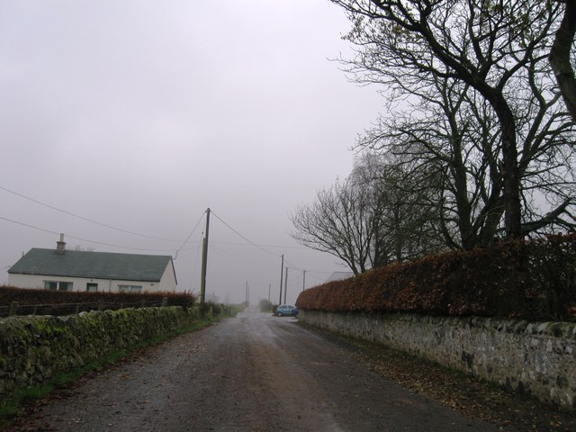
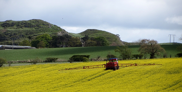
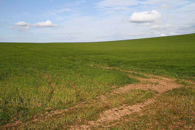
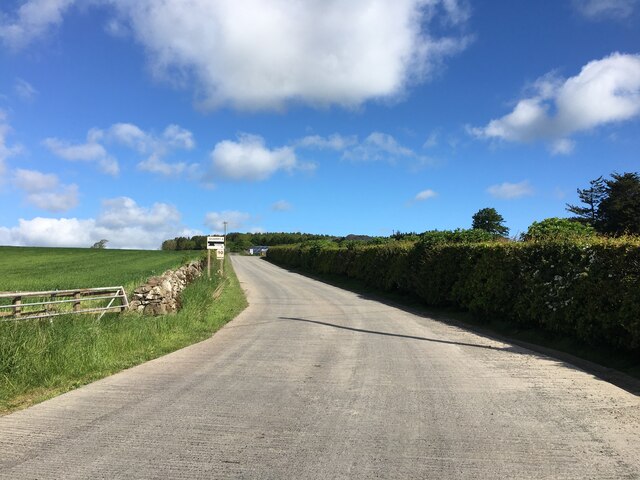
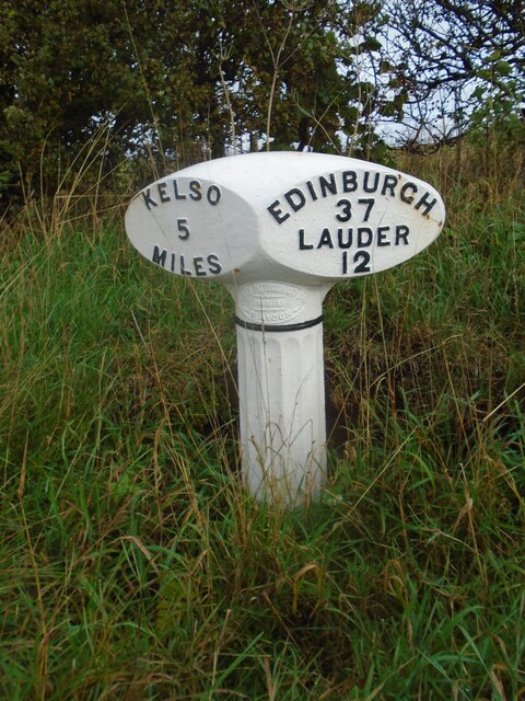
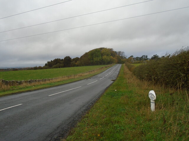
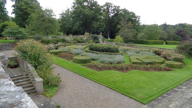
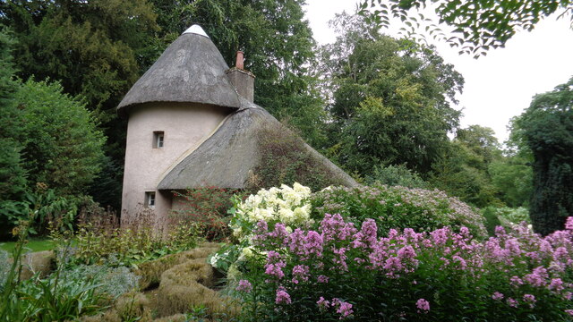
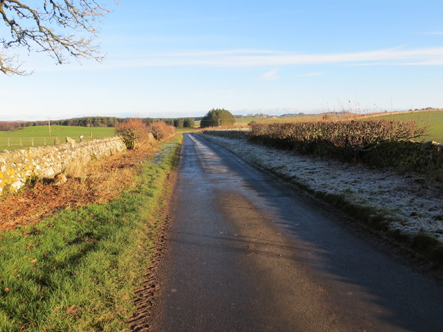
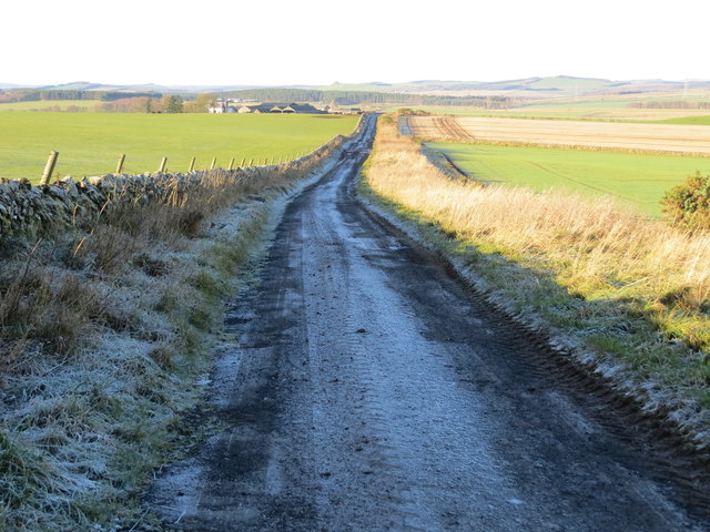
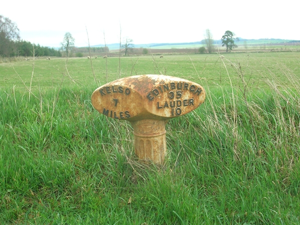
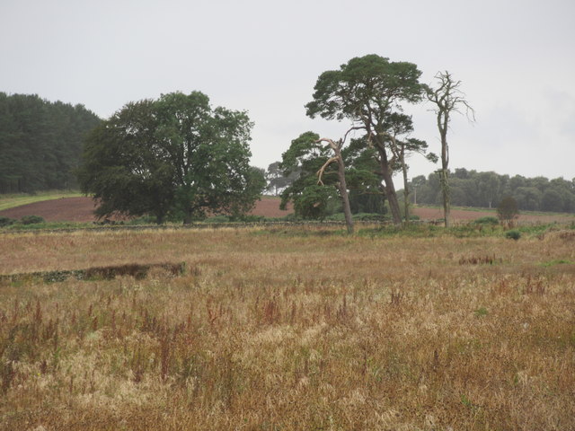
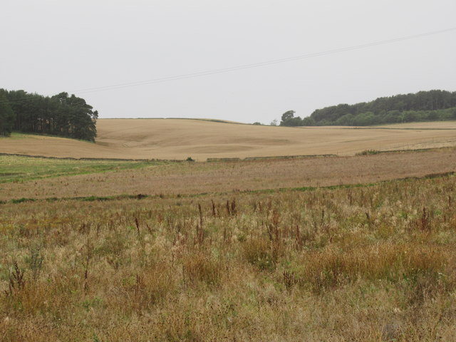
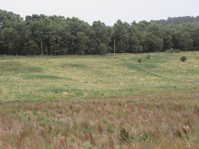
Images are sourced within 2km of 55.649052/-2.5465043 or Grid Reference NT6539. Thanks to Geograph Open Source API. All images are credited.
Duncan Strip is located at Grid Ref: NT6539 (Lat: 55.649052, Lng: -2.5465043)
Unitary Authority: The Scottish Borders
Police Authority: The Lothians and Scottish Borders
What 3 Words
///gazes.snippets.pods. Near Earlston, Scottish Borders
Nearby Locations
Related Wikis

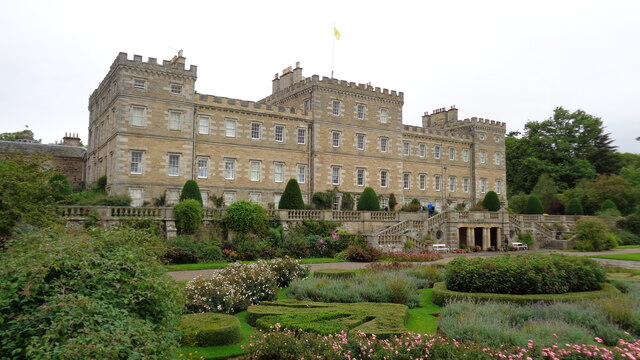
Mellerstain House
Mellerstain House is a stately home around 8 miles (13 kilometres) north of Kelso in the Borders, Scotland. It is currently the home of George Baillie...

Nenthorn
Nenthorn is a parish and hamlet in the south of the historic county of Berwickshire in the Scottish Borders area of Scotland. It is included in the Floors...

Gordon, Scottish Borders
Gordon is a village in the Scottish Borders area of Scotland, within the historic county of Berwickshire. The village sits on the crossroads of the A6105...

Gordon Moss
Gordon Moss is a nature reserve near Gordon, in the Scottish Borders area of Scotland, in the former Berwickshire. The moss is situated one mile west of...
Nearby Amenities
Located within 500m of 55.649052,-2.5465043Have you been to Duncan Strip?
Leave your review of Duncan Strip below (or comments, questions and feedback).