Square Wood

Wood, Forest in Kincardineshire

Scotland

Square Wood

AA box in Aberdeenshire This iconic building is situated on the B974, a few miles north of the Bridge of Dye.
AA box in Aberdeenshire Credit: Stephen Stachowiak

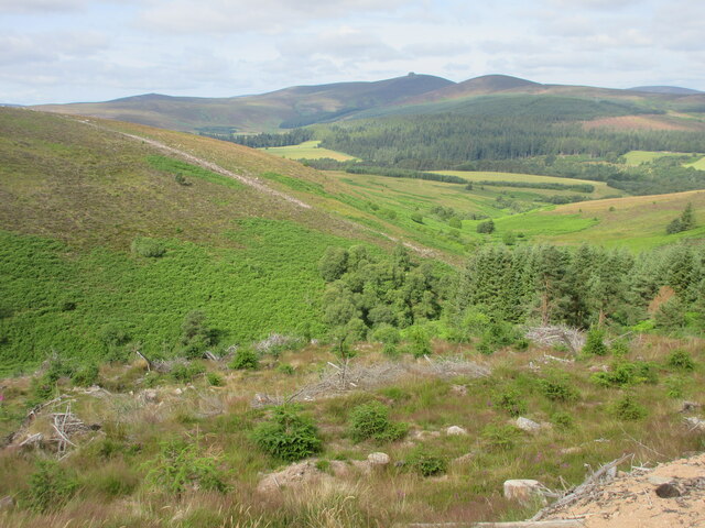
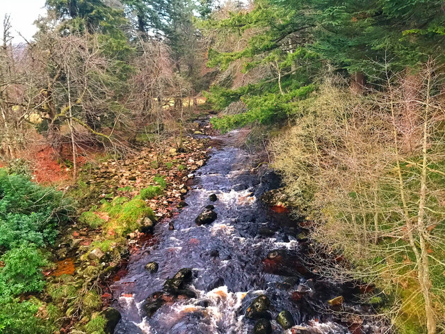
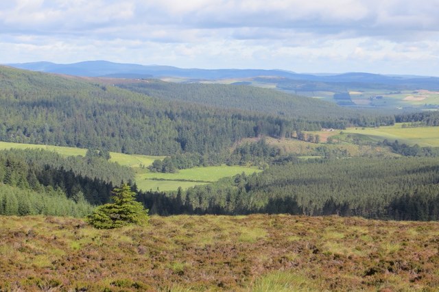
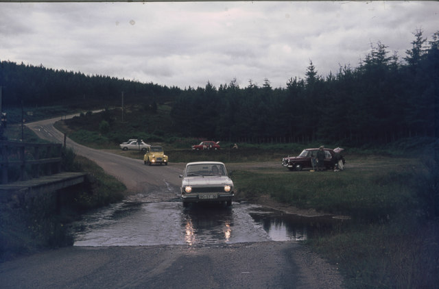
Square Wood is a picturesque forest located in Kincardineshire, Scotland. Covering an area of approximately 50 hectares, this woodland is known for its natural beauty and diverse ecosystem. The wood is situated near the village of Square, which adds to its charm and accessibility.

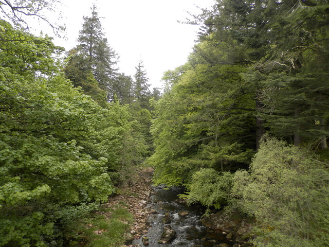
The forest is primarily composed of native tree species such as oak, birch, and Scots pine. The dense canopy provides a habitat for numerous bird species, including woodpeckers, owls, and various songbirds. Additionally, the undergrowth consists of ferns, mosses, and wildflowers, creating a rich and vibrant ground cover.

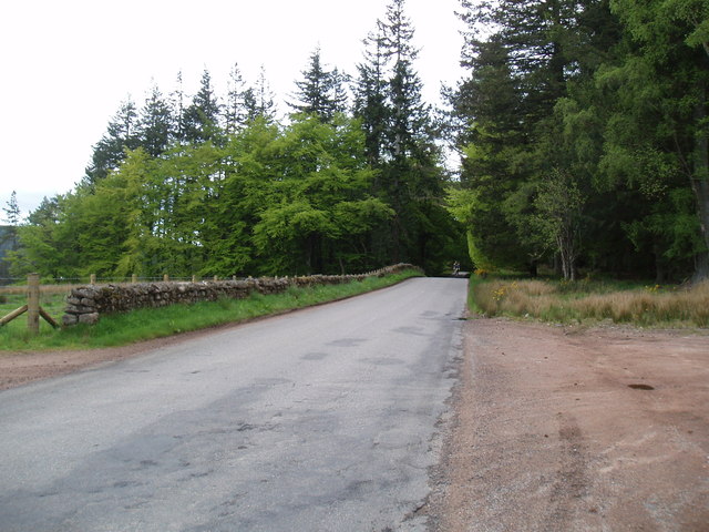
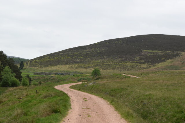
Square Wood offers a range of recreational activities for visitors to enjoy. There are well-maintained walking trails that wind through the woodland, allowing visitors to explore the natural surroundings and observe the local wildlife. These paths are suitable for all ages and abilities, making the wood a perfect destination for families and nature enthusiasts alike.

The forest also features a designated picnic area with benches and tables, providing a peaceful spot for visitors to relax and enjoy a meal amidst the tranquil surroundings. Additionally, the wood is equipped with information boards that educate visitors on the various flora and fauna found within the forest, further enhancing the overall experience.

Overall, Square Wood in Kincardineshire is a haven of natural beauty and biodiversity. Its lush vegetation, diverse wildlife, and well-maintained trails make it an ideal destination for those seeking a peaceful retreat in the heart of Scotland's stunning countryside.

If you have any feedback on the listing, please let us know in the comments section below.
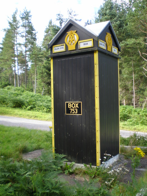
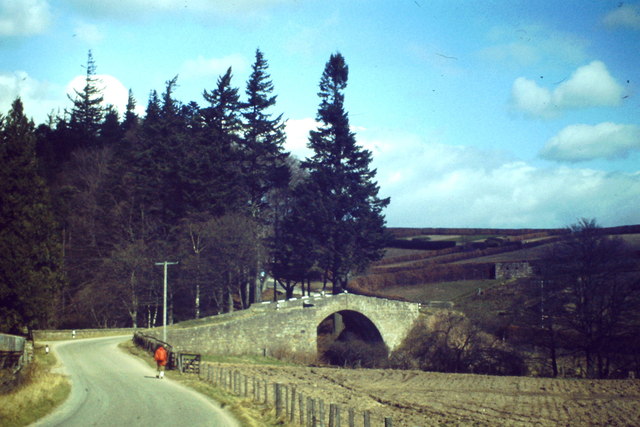
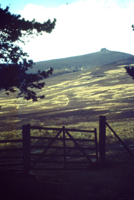
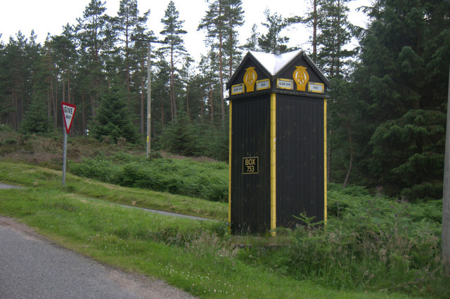
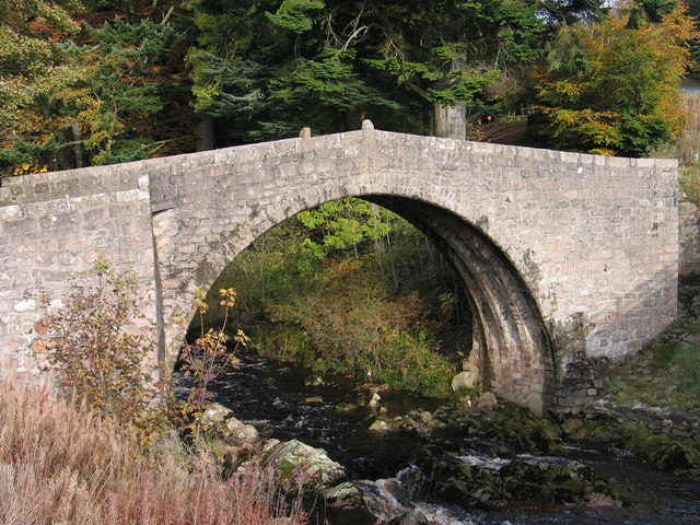
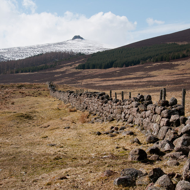
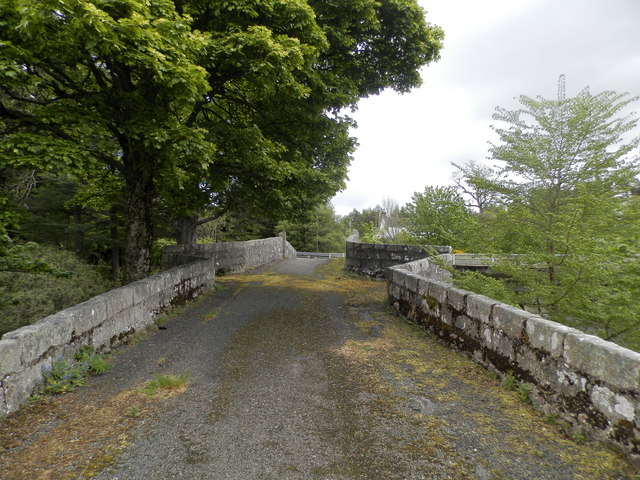
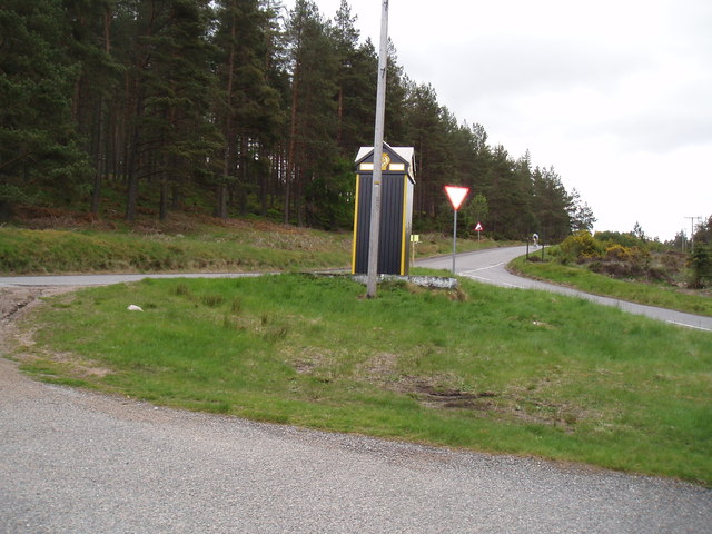
Square Wood Images

Images are sourced within 2km of 56.975464/-2.565937 or Grid Reference NO6587. Thanks to Geograph Open Source API. All images are credited.

AA box in Aberdeenshire This iconic building is situated on the B974, a few miles north of the Bridge of Dye.
AA box in Aberdeenshire
This iconic building is situated on the B974, a few miles north of the Bridge of Dye.
Bridge of Dye Old road bridge spanning the Water of Dye. It is now superseded by a new bridge to the east.
Bridge of Dye
Old road bridge spanning the Water of Dye. It is now superseded by a new bridge to the east.
Near Glendye Lodge View from lower slopes of Scolly's Hill, across heather moorland, towards Clachnaben with its distinctive tor.
Near Glendye Lodge
View from lower slopes of Scolly's Hill, across heather moorland, towards Clachnaben with its distinctive tor.
AA phonebox in Glen Dye A much-photographed echo of a long-gone era of motoring.
AA phonebox in Glen Dye
A much-photographed echo of a long-gone era of motoring.
Old bridge at Bridge of Dye The B974 passes through the small settlement at Bridge of Dye crossing the Water o' Dye by a modern bridge which replaced this one, built in 1680.
Old bridge at Bridge of Dye
The B974 passes through the small settlement at Bridge of Dye crossing the Water o' Dye by a modern bridge which replaced this one, built in 1680.
Remains of a dyke in Glen Dye Clachnaben is in the distance
Remains of a dyke in Glen Dye
Clachnaben is in the distance
The Bridge of Dye The original Bridge of Dye
The Bridge of Dye
The original Bridge of Dye
AA Telephone box between Fettercairn and Banchory These boxes are few and far between nowadays.
AA Telephone box between Fettercairn and Banchory
These boxes are few and far between nowadays.
The Water of Dye from the old Bridge of Dye
The B974 near Scolly's Cross
Bracken covered hillside Looking westwards over the gully of the Builg Burn to the bracken infested lower northern slopes of Heathery Hill, with Clachnaben in the distance.
Bracken covered hillside
Looking westwards over the gully of the Builg Burn to the bracken infested lower northern slopes of Heathery Hill, with Clachnaben in the distance.
AA box 753 At the start or end of the road over the Cairn O' Mount
AA box 753
At the start or end of the road over the Cairn O' Mount
Water of Dye
Water of Dye
Path past the sheep pens
Glen Dye Fields stand out amongst the conifer woods in Glen Dye.
Glen Dye
Fields stand out amongst the conifer woods in Glen Dye.
Glen Dye AA Box 753
Glen Dye AA Box 753
Ford at a ford (Burn of Brooky) From my trip to Scotland in July 1974. I then drove a Ford 12m (German production), scrapped long time ago.
The ford is near Glen Dye on the B974 Banchory to Fettercairn road. At a junction, a minor road (Old Military Road) turns North-west and crosses the Burn of Brooky. A ford then, now the Burn is probably in a pipe (see Google Street View <span class="nowrap"><a title="https://www.google.com/maps/@56.9921192,-2.5779368,3a,75y,182.34h,81.64t/data=!3m6!1e1!3m4!1sIFtPEKg16yUweTjc2Ylj7A!2e0!7i13312!8i6656" rel="nofollow ugc noopener" href="https://www.google.com/maps/@56.9921192,-2.5779368,3a,75y,182.34h,81.64t/data=!3m6!1e1!3m4!1sIFtPEKg16yUweTjc2Ylj7A!2e0!7i13312!8i6656">Link</a><img style="margin-left:2px;" alt="External link" title="External link - shift click to open in new window" src="https://s1.geograph.org.uk/img/external.png" width="10" height="10"/></span> )
Lefthand side at the B974, an AA box is visible.
Ford at a ford (Burn of Brooky)
From my trip to Scotland in July 1974. I then drove a Ford 12m (German production), scrapped long time ago. The ford is near Glen Dye on the B974 Banchory to Fettercairn road. At a junction, a minor road (Old Military Road) turns North-west and crosses the Burn of Brooky. A ford then, now the Burn is probably in a pipe (see Google Street View LinkExternal link ) Lefthand side at the B974, an AA box is visible.
AA Box 753, Glen Dye road junction
Show me another place!

Square Wood is located at Grid Ref: NO6587 (Lat: 56.975464, Lng: -2.565937)

Unitary Authority: Aberdeenshire

Police Authority: North East

What 3 Words

///satin.caring.snares. Near Banchory, Aberdeenshire

Nearby Locations

Square Wood Scolly's Wood

Related Wikis

Clachnaben

Clachnaben (archaically "Cloch-na'bain"; Scottish Gaelic: "Clach na Beinne") is a 589-metre hill in Glen Dye, Aberdeenshire, Scotland. It is a distinctive...

Water of Aven

The Water of Aven (or A'an) (Scottish Gaelic: an t-Uisge Bàn) is a tributary of the Water of Feugh, itself the largest tributary of the River Dee, Aberdeenshire...

Strachan, Aberdeenshire

Strachan is a village in Aberdeenshire, Scotland that lies along the Water of Feugh, a tributary of the River Dee, Aberdeenshire, a few miles southwest...

Easter Clune Castle

Easter Clune Castle is a ruined 16th-century tower house, about 6 miles (9.7 km) south-west of Banchory, Aberdeenshire, Scotland, and south of the Water...

Nearby Amenities

Located within 500m of 56.975464,-2.565937
Burnfoot
Place: locality
Lat/Long: 56.9778625/-2.5605167
Heatheryhaugh
Place: locality
Lat/Long: 56.9721088/-2.5628771
Power: pole
Lat/Long: 56.977735/-2.5727344
Power: pole
Lat/Long: 56.9770519/-2.5723307
Power: pole
Lat/Long: 56.9764522/-2.5719789
Power: pole
Lat/Long: 56.9759584/-2.5713904
Power: pole
Lat/Long: 56.9753423/-2.5713712
Power: pole
Lat/Long: 56.9747747/-2.5713808
Power: pole
Lat/Long: 56.9742034/-2.5713671
Power: pole
Lat/Long: 56.9736246/-2.5713521
Power: pole
Lat/Long: 56.9731144/-2.5716176
Power: pole
Lat/Long: 56.9725944/-2.5718886
The data included in this document is from www.openstreetmap.org. The data is made available under ODbL.

Have you been to Square Wood?

Leave your review of Square Wood below (or comments, questions and feedback).