Stell Wood
Wood, Forest in Roxburghshire
Scotland
Stell Wood
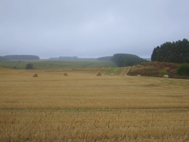
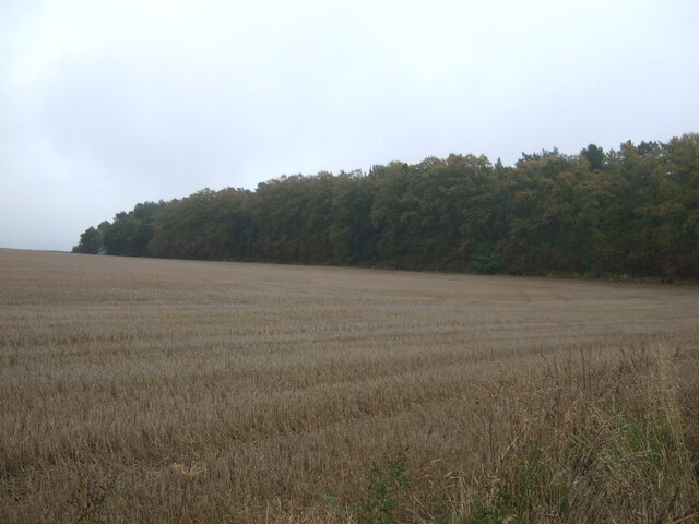
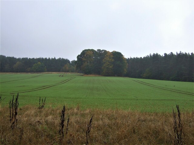
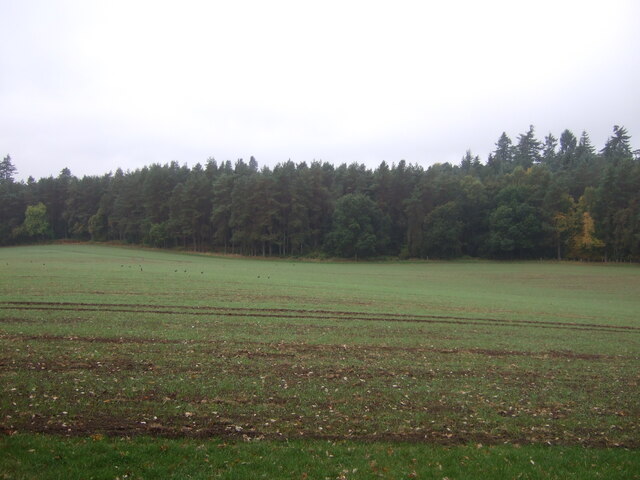
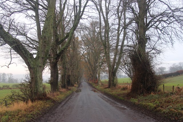
Stell Wood is a picturesque forest located in Roxburghshire, Scotland. Covering an area of approximately 200 hectares, it is known for its natural beauty and diverse range of flora and fauna. The wood is situated on the southern slopes of the Eildon Hills, providing stunning views of the surrounding countryside.
The forest is primarily composed of broadleaf trees, such as oak, beech, and birch, creating a rich and vibrant woodland ecosystem. The dense canopy provides shade and shelter for a variety of wildlife, including red squirrels, badgers, and a wide array of bird species.
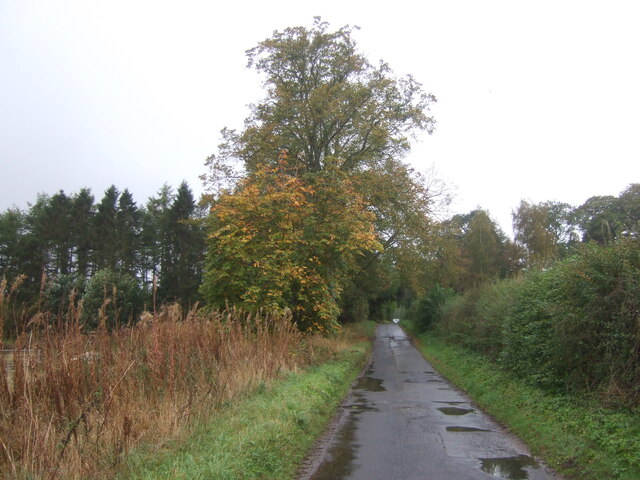
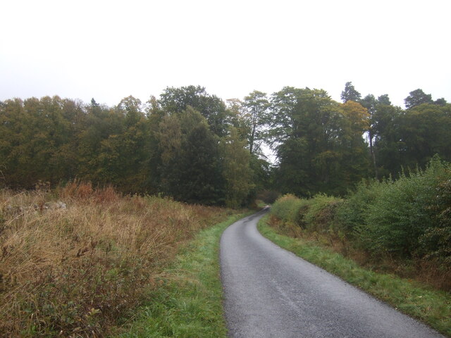
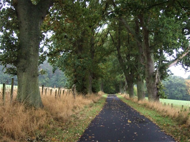
Stell Wood offers a range of recreational activities for visitors to enjoy. There are several well-maintained walking trails that wind through the forest, allowing nature enthusiasts to explore its hidden corners and appreciate the tranquility of the surroundings. These paths are suitable for both leisurely strolls and more challenging hikes, catering to all levels of fitness.
In addition to walking, the forest also offers opportunities for picnicking, wildlife spotting, and photography. Its serene atmosphere and peaceful surroundings make it an ideal spot for unwinding and connecting with nature.
Stell Wood is easily accessible, with ample parking facilities available nearby. The forest is open to the public year-round, although it is particularly popular during the spring and summer months when the woodland is in full bloom.
Overall, Stell Wood is a captivating destination for nature lovers and outdoor enthusiasts alike. Its breathtaking scenery, diverse wildlife, and recreational activities make it a must-visit location in Roxburghshire.
If you have any feedback on the listing, please let us know in the comments section below.
Stell Wood Images
Images are sourced within 2km of 55.534619/-2.5452325 or Grid Reference NT6526. Thanks to Geograph Open Source API. All images are credited.


Stell Wood is located at Grid Ref: NT6526 (Lat: 55.534619, Lng: -2.5452325)
Unitary Authority: The Scottish Borders
Police Authority: The Lothians and Scottish Borders
What 3 Words
///marmalade.slot.occur. Near Jedburgh, Scottish Borders
Nearby Locations
Related Wikis

Waterloo Monument
The Waterloo Monument near Ancrum in the Scottish Borders is a 150-foot tower, built between 1817 and 1824 to commemorate the Battle of Waterloo. It was...

Peniel Heugh
Peniel Heugh (237 m) is a hill near Ancrum and Nisbet in the Scottish Borders area of Scotland. On it stands the Waterloo Monument. == Geology == The heugh...

Nisbet railway station
Nisbet railway station served the hamlet of Nisbet, Scottish Borders, Scotland from 1856 to 1948, on the Jedburgh Railway. == History == The station opened...

Monteviot House
Monteviot House is the early 18th century home of the Marquess of Lothian, the politician better known as Michael Ancram. It is located on the River Teviot...
Nearby Amenities
Located within 500m of 55.534619,-2.5452325Have you been to Stell Wood?
Leave your review of Stell Wood below (or comments, questions and feedback).