Peniel Heugh
Hill, Mountain in Roxburghshire
Scotland
Peniel Heugh

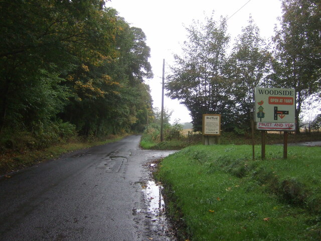
Peniel Heugh is a prominent hill located in the historic county of Roxburghshire, Scotland. Rising to an elevation of 257 meters (843 feet), it offers breathtaking panoramic views of the surrounding landscape. Situated near the village of Jedburgh, Peniel Heugh is a popular destination for hikers, nature enthusiasts, and tourists seeking to explore the untamed beauty of the Scottish Borders.
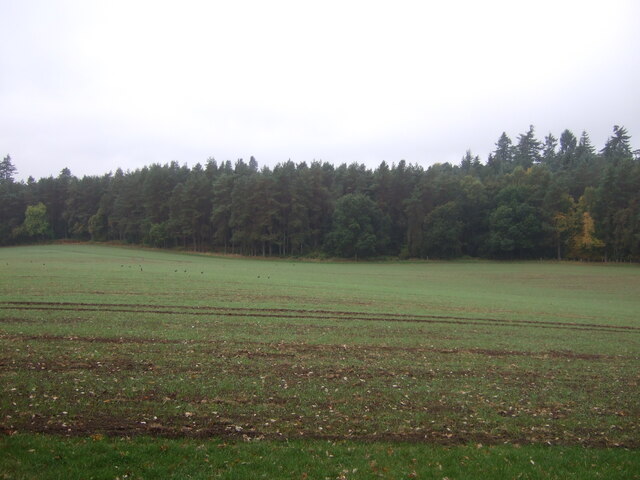
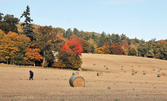
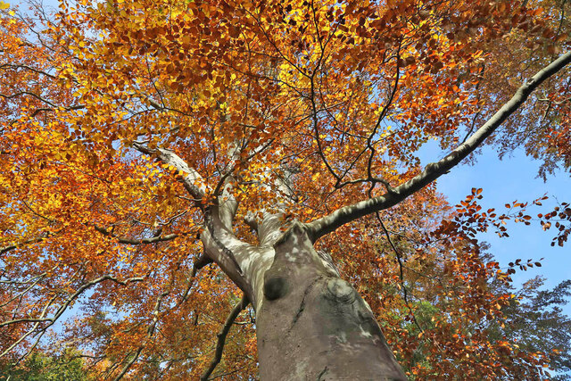
The hill is characterized by its distinctive cone-shaped summit, covered in heather and grasses that change color throughout the seasons. It is believed that Peniel Heugh has been a significant landmark for centuries, serving as a vantage point for locals and a beacon for travelers navigating the region. Today, it continues to attract visitors who are drawn to its natural beauty and peaceful atmosphere.
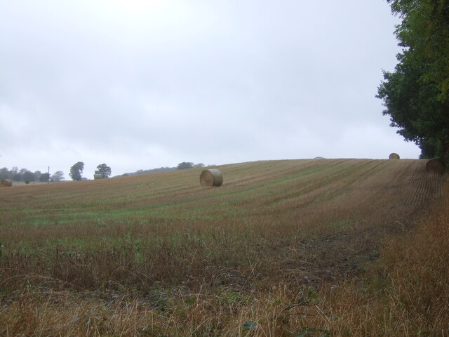
The ascent to the summit of Peniel Heugh is relatively moderate, with well-maintained paths and trails guiding hikers along the way. The hill offers stunning vistas over the rolling countryside, with the River Teviot winding its way through the valley below. On a clear day, it is possible to see as far as the Cheviot Hills and the Eildon Hills in the distance.
Wildlife is abundant on Peniel Heugh, with various species of birds, including raptors such as buzzards and kestrels, often seen soaring overhead. The hill is also home to a diverse range of plant life, including wildflowers and ferns, adding to its natural charm.
Overall, Peniel Heugh is a captivating destination for those seeking a tranquil escape in the heart of the Scottish Borders, providing a unique opportunity to immerse oneself in the region's natural beauty and history.
If you have any feedback on the listing, please let us know in the comments section below.
Peniel Heugh Images
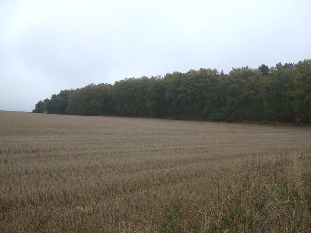
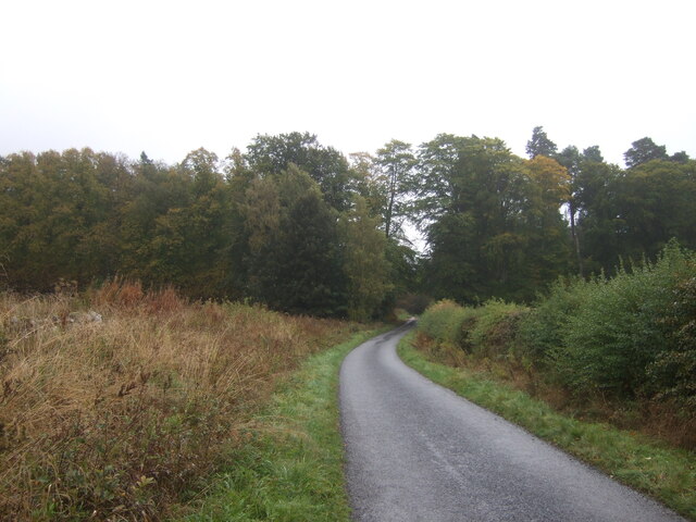
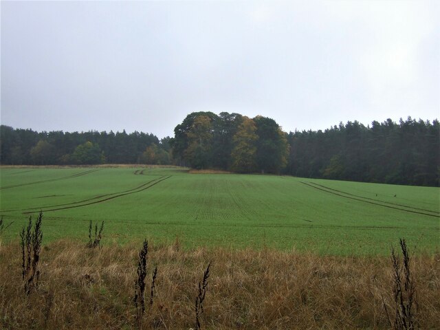
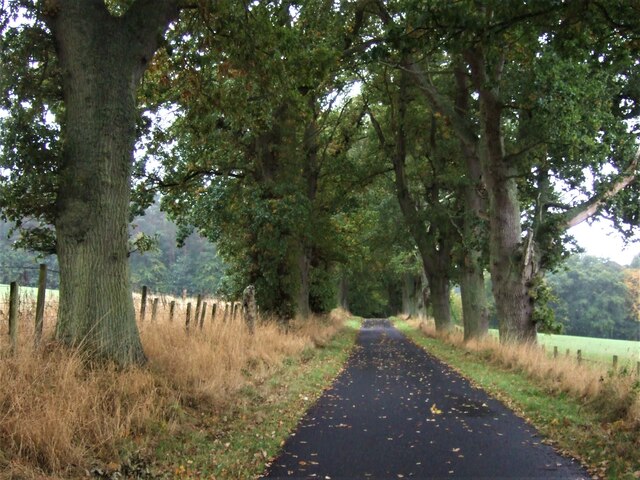
Images are sourced within 2km of 55.529087/-2.5506372 or Grid Reference NT6526. Thanks to Geograph Open Source API. All images are credited.


Peniel Heugh is located at Grid Ref: NT6526 (Lat: 55.529087, Lng: -2.5506372)
Unitary Authority: The Scottish Borders
Police Authority: The Lothians and Scottish Borders
What 3 Words
///gravitate.lights.culling. Near Jedburgh, Scottish Borders
Nearby Locations
Related Wikis

Peniel Heugh
Peniel Heugh (; 237 m) is a hill near Ancrum and Nisbet in the Scottish Borders area of Scotland. On it stands the Waterloo Monument. == Geology == The...

Waterloo Monument
The Waterloo Monument near Ancrum in the Scottish Borders is a 150-foot tower, built between 1817 and 1824 to commemorate the Battle of Waterloo. It was...

Monteviot House
Monteviot House is the early 18th century home of the Marquess of Lothian, the politician better known as Michael Ancram. It is located on the River Teviot...

Jed Water
The Jed Water is a river and a tributary of the River Teviot in the Borders region of Scotland. In total the Jed Water is over 21.75 miles (35.00 km) long...
Nearby Amenities
Located within 500m of 55.529087,-2.5506372Have you been to Peniel Heugh?
Leave your review of Peniel Heugh below (or comments, questions and feedback).