Backhill Wood
Wood, Forest in Roxburghshire
Scotland
Backhill Wood
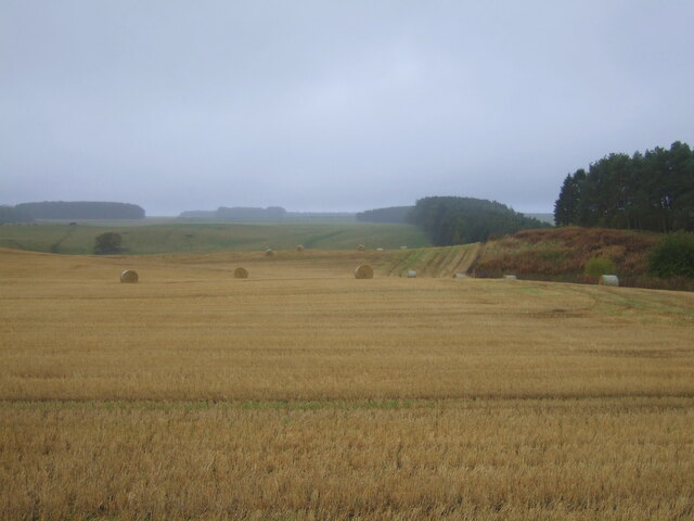
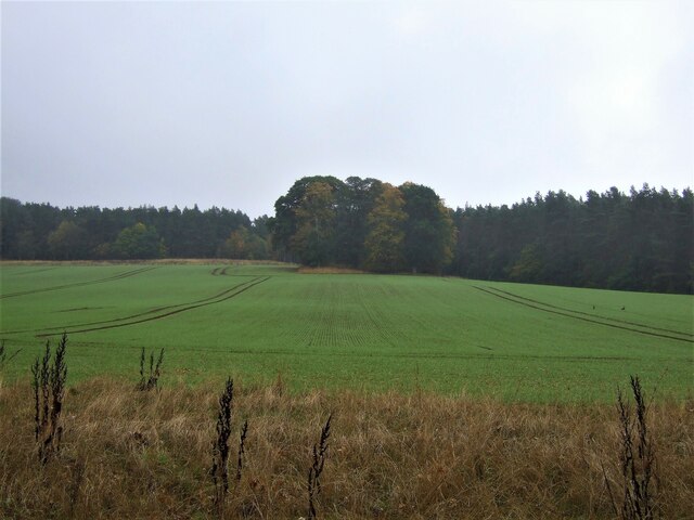
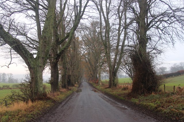
Backhill Wood is a picturesque forest located in the county of Roxburghshire, situated in the southern region of Scotland. Spanning over a vast area of land, this woodland is a haven for nature enthusiasts and those seeking tranquility.
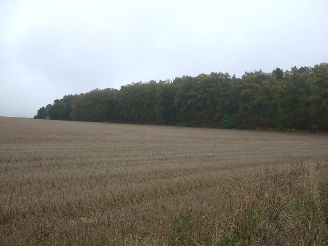
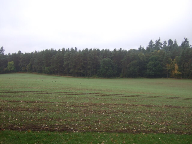
The wood is characterized by its diverse range of flora and fauna, making it a biodiversity hotspot. Towering oak, beech, and pine trees dominate the landscape, providing a dense canopy that offers shade and shelter to various woodland creatures. The forest floor is covered with a rich carpet of mosses, ferns, and wildflowers, enhancing the enchanting atmosphere of the wood.
Backhill Wood is not only a haven for plant life but also a sanctuary for a variety of wildlife. The forest is home to an array of species, including red squirrels, roe deer, and a plethora of bird species such as woodpeckers, owls, and warblers. The presence of these animals adds to the charm and natural beauty of the wood.
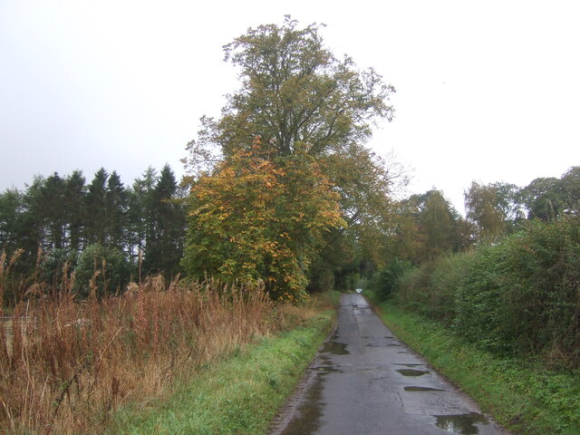
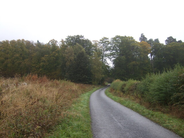
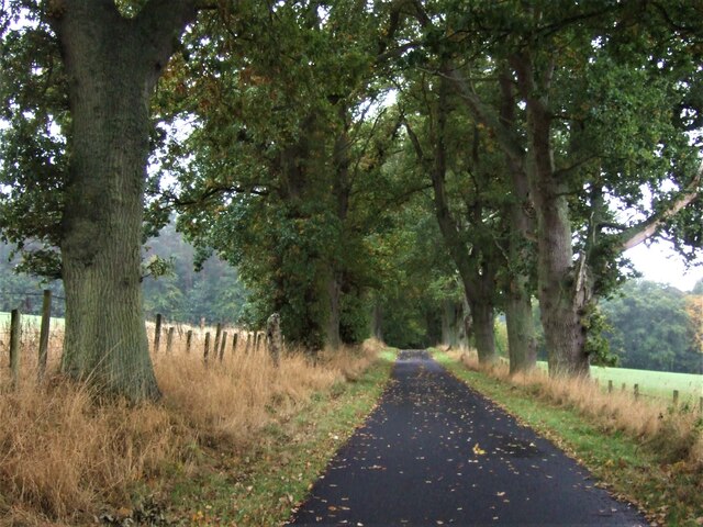
For outdoor enthusiasts, Backhill Wood offers numerous recreational opportunities. There are well-maintained walking trails that wind through the forest, allowing visitors to explore and immerse themselves in the peaceful ambiance. The forest is also popular among birdwatchers and photographers, who come to capture the beauty of the woodland and its inhabitants.
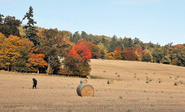
Overall, Backhill Wood is a remarkable natural treasure in Roxburghshire. Its stunning scenery, diverse wildlife, and tranquil atmosphere make it a must-visit destination for anyone seeking a serene and immersive experience in nature.
If you have any feedback on the listing, please let us know in the comments section below.
Backhill Wood Images
Images are sourced within 2km of 55.533761/-2.5483418 or Grid Reference NT6526. Thanks to Geograph Open Source API. All images are credited.


Backhill Wood is located at Grid Ref: NT6526 (Lat: 55.533761, Lng: -2.5483418)
Unitary Authority: The Scottish Borders
Police Authority: The Lothians and Scottish Borders
What 3 Words
///sidelined.grudge.sublime. Near Jedburgh, Scottish Borders
Nearby Locations
Related Wikis

Waterloo Monument
The Waterloo Monument near Ancrum in the Scottish Borders is a 150-foot tower, built between 1817 and 1824 to commemorate the Battle of Waterloo. It was...

Peniel Heugh
Peniel Heugh (; 237 m) is a hill near Ancrum and Nisbet in the Scottish Borders area of Scotland. On it stands the Waterloo Monument. == Geology == The...

Monteviot House
Monteviot House is the early 18th century home of the Marquess of Lothian, the politician better known as Michael Ancram. It is located on the River Teviot...

Nisbet railway station
Nisbet railway station served the hamlet of Nisbet, Scottish Borders, Scotland from 1856 to 1948, on the Jedburgh Railway. == History == The station opened...
Nearby Amenities
Located within 500m of 55.533761,-2.5483418Have you been to Backhill Wood?
Leave your review of Backhill Wood below (or comments, questions and feedback).