Victoria Clump
Wood, Forest in Roxburghshire
Scotland
Victoria Clump

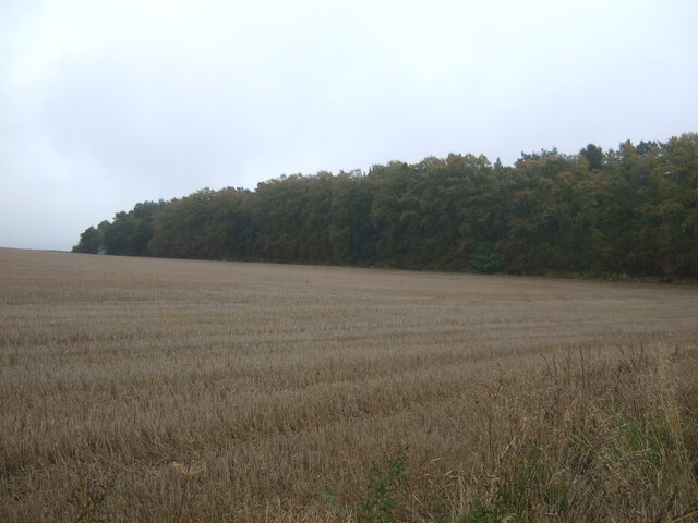
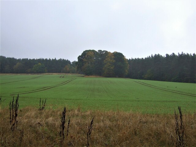
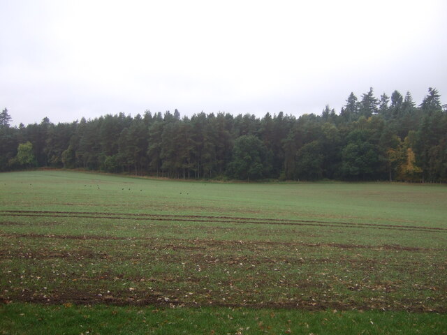
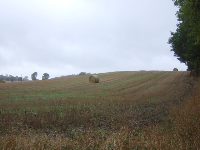
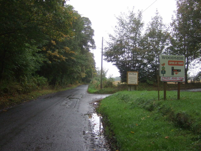
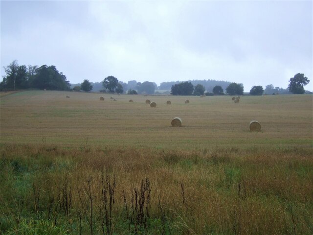
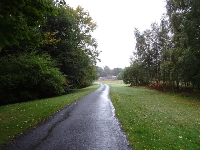
Victoria Clump is a picturesque woodland located in Roxburghshire, Scotland. Situated near the village of Wood, this forested area covers approximately five acres and is a popular destination for nature enthusiasts and outdoor lovers.
The woodland is named after Queen Victoria, who planted a commemorative tree in this area during her visit to Roxburghshire in the 19th century. The forest is characterized by a diverse range of tree species, including oak, beech, ash, and birch, which provide a lush and vibrant canopy.
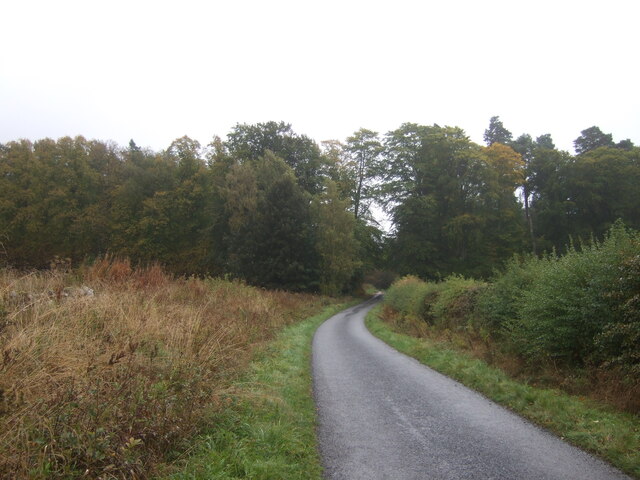
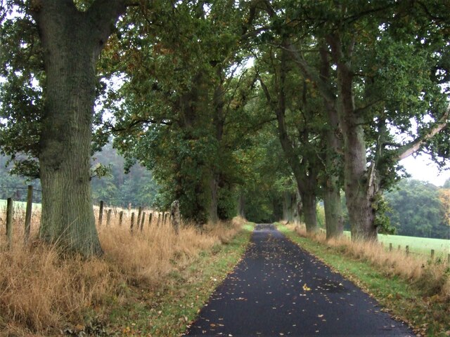
Visitors to Victoria Clump can enjoy a variety of activities and experiences. The forest offers numerous walking trails, allowing visitors to explore the enchanting woodland and appreciate its natural beauty. The tranquil atmosphere and abundance of wildlife make it an ideal location for birdwatching and nature photography.
The conservation efforts in Victoria Clump have led to the preservation of its natural habitat and the protection of its flora and fauna. The forest is home to various species of birds, including woodpeckers, owls, and thrushes, as well as small mammals like squirrels and rabbits.
Throughout the year, Victoria Clump hosts several events and festivals that celebrate the beauty of nature. These events include guided walks, educational programs, and family-friendly activities, which aim to raise awareness about the importance of preserving the natural environment.
Overall, Victoria Clump in Roxburghshire offers visitors a serene and captivating experience, where they can immerse themselves in the tranquility of a well-preserved woodland and appreciate the wonders of nature.
If you have any feedback on the listing, please let us know in the comments section below.
Victoria Clump Images
Images are sourced within 2km of 55.527648/-2.5548466 or Grid Reference NT6526. Thanks to Geograph Open Source API. All images are credited.


Victoria Clump is located at Grid Ref: NT6526 (Lat: 55.527648, Lng: -2.5548466)
Unitary Authority: The Scottish Borders
Police Authority: The Lothians and Scottish Borders
What 3 Words
///strictest.overtones.glorified. Near Jedburgh, Scottish Borders
Nearby Locations
Related Wikis

Peniel Heugh
Peniel Heugh (237 m) is a hill near Ancrum and Nisbet in the Scottish Borders area of Scotland. On it stands the Waterloo Monument. == Geology == The heugh...

Waterloo Monument
The Waterloo Monument near Ancrum in the Scottish Borders is a 150-foot tower, built between 1817 and 1824 to commemorate the Battle of Waterloo. It was...

Monteviot House
Monteviot House is the early 18th century home of the Marquess of Lothian, the politician better known as Michael Ancram. It is located on the River Teviot...

Jed Water
The Jed Water is a river and a tributary of the River Teviot in the Borders region of Scotland. In total the Jed Water is over 21.75 miles (35.00 km) long...
Nearby Amenities
Located within 500m of 55.527648,-2.5548466Have you been to Victoria Clump?
Leave your review of Victoria Clump below (or comments, questions and feedback).