Pea Brae

Wood, Forest in Berwickshire

Scotland

Pea Brae

Field, Millfield Mertoun Estate.
Field, Millfield Credit: Richard Webb

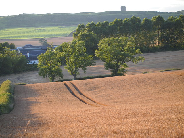
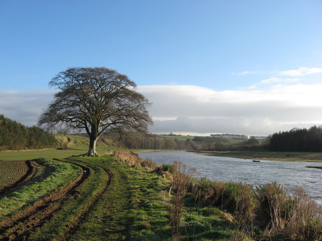
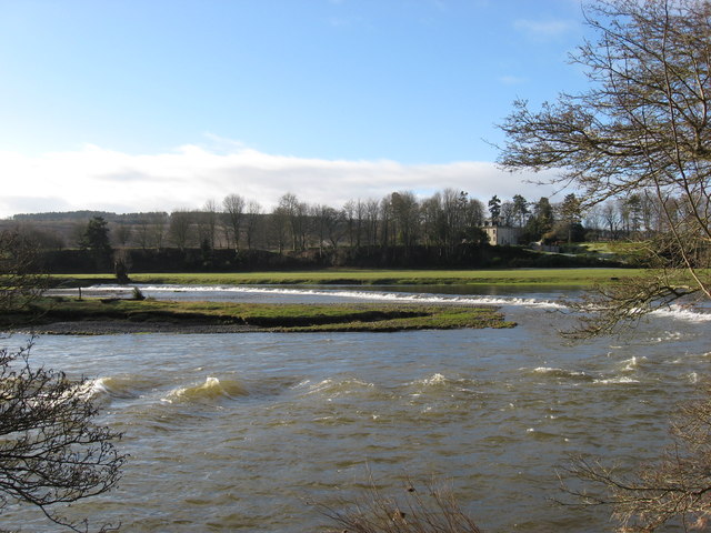
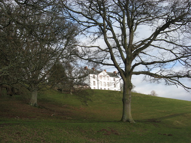
Pea Brae, located in the region of Berwickshire in Scotland, is a picturesque woodland area known for its natural beauty and tranquil ambiance. Situated amidst the rolling hills and lush greenery, it offers a serene escape for nature enthusiasts and hikers alike.

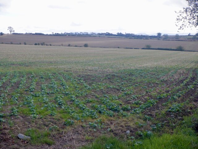
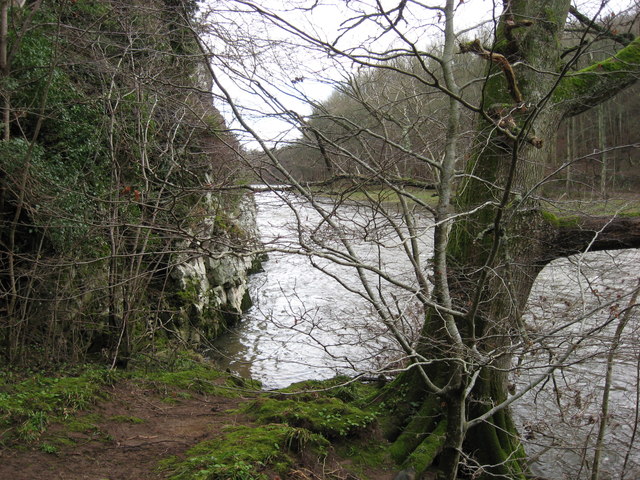
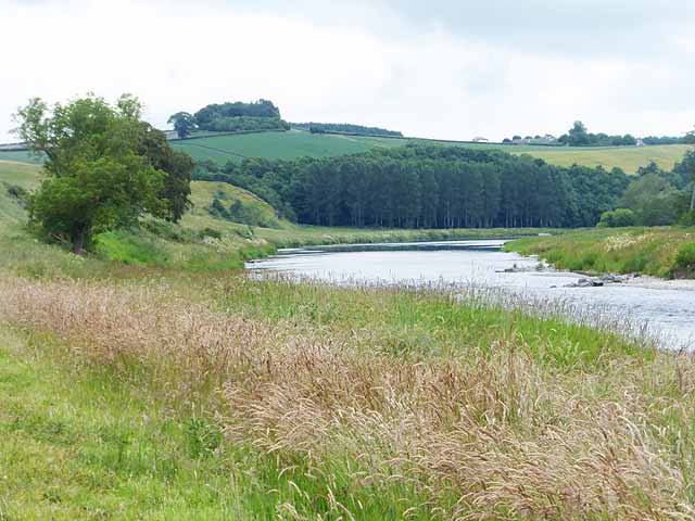
Covering a vast expanse, Pea Brae is an enchanting forest that boasts a diverse range of flora and fauna. The woodland is primarily composed of ancient oak trees, which provide a majestic canopy over the forest floor. This creates a shaded and cool environment, perfect for leisurely walks or picnics on a warm summer's day.

The forest is abundant with wildlife, making it an ideal spot for birdwatching and animal spotting. Visitors may catch a glimpse of various species such as red squirrels, roe deer, and a wide array of bird species including woodpeckers, thrushes, and owls. The peaceful atmosphere and natural habitats foster a harmonious coexistence between humans and wildlife.

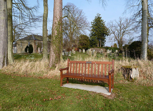
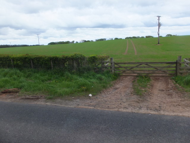
Pea Brae also offers a network of well-maintained paths and trails, making it an excellent destination for outdoor activities. Whether you're an experienced hiker or simply looking for a leisurely stroll, there are routes suited to all levels of fitness. Along the way, you may encounter babbling brooks and small waterfalls, adding to the charm and serenity of the surroundings.

Overall, Pea Brae in Berwickshire is a haven for nature lovers, with its enchanting woodland, diverse wildlife, and tranquil atmosphere. It provides a serene escape from the hustle and bustle of everyday life, allowing visitors to immerse themselves in the beauty of the natural world.

If you have any feedback on the listing, please let us know in the comments section below.

Pea Brae Images

Images are sourced within 2km of 55.584369/-2.5459698 or Grid Reference NT6532. Thanks to Geograph Open Source API. All images are credited.

Field, Millfield Mertoun Estate.
Field, Millfield
Mertoun Estate.
A phone box at Makerstoun It appears to be used as the village library.
A phone box at Makerstoun
It appears to be used as the village library.
Makerstoun phone box The box is being used as a library.
Makerstoun phone box
The box is being used as a library.
A sundial at Makerstoun Parish Churchyard According to The Churches and Graveyards of Roxburghshire by G A C Binnie, the sundial and pedestal was gifted by General Sir Thomas Makdougall Brisbane, once Governor General of New South Wales.
A sundial at Makerstoun Parish Churchyard
According to The Churches and Graveyards of Roxburghshire by G A C Binnie, the sundial and pedestal was gifted by General Sir Thomas Makdougall Brisbane, once Governor General of New South Wales.
Old milepost Just 2 Smith Patterson mileposts remain on the 6 miles of B6404 from its junction with the B6397 west of Kelso and St Boswells.  This one near Fox Covert has been fairly recently painted.  When previously seen in 2013 it was very rusty.   This area of the Borders was in Roxburghshire before the 1970s.
Old milepost
Just 2 Smith Patterson mileposts remain on the 6 miles of B6404 from its junction with the B6397 west of Kelso and St Boswells. This one near Fox Covert has been fairly recently painted. When previously seen in 2013 it was very rusty. This area of the Borders was in Roxburghshire before the 1970s.
Old milepost Beyond the milepost the road to the south west drops down towards St Boswells and the River Tweed.
Old milepost
Beyond the milepost the road to the south west drops down towards St Boswells and the River Tweed.
A milepost by the B6404 It shows 6 miles to Kelso and 4 miles to St Boswells.
A milepost by the B6404
It shows 6 miles to Kelso and 4 miles to St Boswells.
Tweed flood plain near Rutherford Grassland beside the Tweed.
Tweed flood plain near Rutherford
Grassland beside the Tweed.
The Old Threshing Mill, Millfield View towards Old Threshing Mill with Smailholm Tower on horizon.
The Old Threshing Mill, Millfield
View towards Old Threshing Mill with Smailholm Tower on horizon.
'In Isolation' This fine specimen of a Beech Tree stands close to the River Tweed near Dalcove Braes.
'In Isolation'
This fine specimen of a Beech Tree stands close to the River Tweed near Dalcove Braes.
The Weir at Rutherford Lodge Crossing the Tweed from bank to bank this weir may well be the longest on the river. In spate conditions it's certainly one of the noisiest.
The Weir at Rutherford Lodge
Crossing the Tweed from bank to bank this weir may well be the longest on the river. In spate conditions it's certainly one of the noisiest.
'Footpaths End' This footpath near Corbie Craigs by the River Tweed suddenly ends,needing one to detour somewhat. Unless of course you can walk on water.
'Footpaths End'
This footpath near Corbie Craigs by the River Tweed suddenly ends,needing one to detour somewhat. Unless of course you can walk on water.
Makerstoun House The house stands in a prominent position above the River Tweed.
Makerstoun House
The house stands in a prominent position above the River Tweed.
A dedicated bench seat at Makerstoun Kirkyard The kirk is in the background to the left.
A dedicated bench seat at Makerstoun Kirkyard
The kirk is in the background to the left.
Looking over the farming lands at Dalcove in the Scottish Borders With the majestic River Tweed beyond.
Looking over the farming lands at Dalcove in the Scottish Borders
With the majestic River Tweed beyond.
Road to Millfield Farm Minor road to the southeast of the B6404.
Road to Millfield Farm
Minor road to the southeast of the B6404.
Farmland near Foxcovert At a 'request' bus-stop to the south of the B6404, by the junction with the minor road to Smailholm.
Farmland near Foxcovert
At a 'request' bus-stop to the south of the B6404, by the junction with the minor road to Smailholm.
The River Tweed above Dalcove There is an island in the river to the right.  The steep grassy slope ahead to the left is Dalcove Braes.
The River Tweed above Dalcove
There is an island in the river to the right. The steep grassy slope ahead to the left is Dalcove Braes.
Show me another place!

Pea Brae is located at Grid Ref: NT6532 (Lat: 55.584369, Lng: -2.5459698)

Unitary Authority: The Scottish Borders

Police Authority: The Lothians and Scottish Borders

What 3 Words

///soulful.debt.dividers. Near Saint Boswells, Scottish Borders

Nearby Locations

Pea Brae

Related Wikis

Makerstoun

Makerstoun is a parish in the Scottish Borders area of Scotland, as well as the historic county of Roxburghshire, 4 miles (6 km) south-west of Kelso.The...

Rutherford railway station

Rutherford railway station served the parish of Maxton, Roxburghshire, Scotland from 1851 to 1964 on the Kelso Line. == History == The station opened in...

Borders Abbeys Way

The Borders Abbeys Way is a long-distance footpath in the Scottish Borders area of Scotland. It is a circular walkway and is 109 kilometres (68 mi) in...

Smailholm Tower

Smailholm Tower is a peel tower at Smailholm, around five miles (8 km) west of Kelso in the Scottish Borders. Its dramatic situation, atop a crag of Lady...

Nearby Amenities

Located within 500m of 55.584369,-2.5459698
Post Box
Postal Code: TD5
Ref: TD5 23
Source: survey
Lat/Long: 55.5882763/-2.5425176
Greatridgehall
Place: hamlet
Lat/Long: 55.5883736/-2.5423644
Dalcove Mains
Place: hamlet
Lat/Long: 55.5818372/-2.548086
Natural: peak
Lat/Long: 55.5847526/-2.5460875
Noexit: yes
Lat/Long: 55.5882594/-2.5424055
Give Way
Direction: backward
Lat/Long: 55.5876872/-2.5500049
Power: pole
Lat/Long: 55.5857523/-2.5465277
Power: pole
Lat/Long: 55.5850439/-2.5468773
Power: pole
Lat/Long: 55.5843535/-2.5472504
Power: pole
Lat/Long: 55.5837595/-2.5474145
Power: pole
Lat/Long: 55.5831414/-2.5475787
Power: pole
Lat/Long: 55.5825016/-2.5477471
Power: pole
Lat/Long: 55.5873764/-2.5425775
Power: pole
Lat/Long: 55.5871391/-2.5421746
Power: pole
Lat/Long: 55.5868343/-2.5416715
Power: pole
Lat/Long: 55.5883149/-2.542311
Power: pole
Lat/Long: 55.587774/-2.5415244
Power: pole
Lat/Long: 55.587068/-2.5433918
Power: pole
Lat/Long: 55.5867041/-2.5443298
Power: pole
Lat/Long: 55.5863801/-2.545076
Power: pole
Lat/Long: 55.586068/-2.5457965
Power: pole
Lat/Long: 55.585268/-2.5475893
Power: pole
Lat/Long: 55.5848547/-2.5485337
Power: pole
Lat/Long: 55.5844222/-2.5495058
Power: pole
Lat/Long: 55.5840053/-2.550446
Power: pole
Lat/Long: 55.5836535/-2.5522111
Power: pole
Lat/Long: 55.5834727/-2.5531278
Power: pole
Lat/Long: 55.5844535/-2.5512667
Power: pole
Lat/Long: 55.58488/-2.5520533
Power: pole
Lat/Long: 55.585474/-2.5529658
The data included in this document is from www.openstreetmap.org. The data is made available under ODbL.

Have you been to Pea Brae?

Leave your review of Pea Brae below (or comments, questions and feedback).