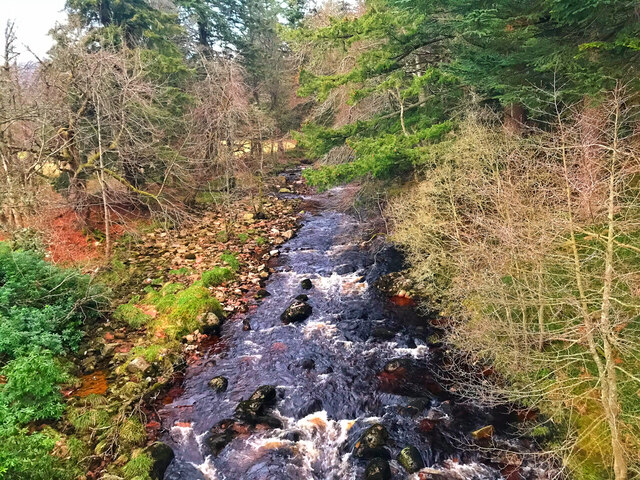
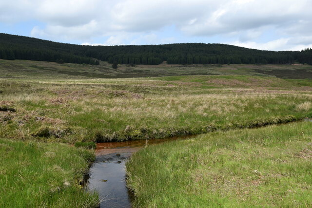
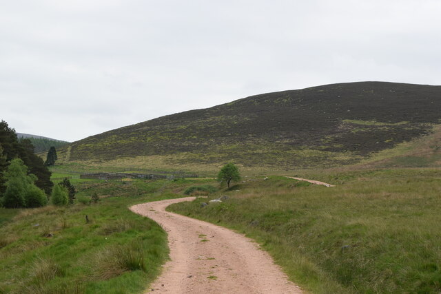
Scolly's Wood

Wood, Forest in Kincardineshire

Scotland

Scolly's Wood

AA box in Aberdeenshire This iconic building is situated on the B974, a few miles north of the Bridge of Dye.
AA box in Aberdeenshire Credit: Stephen Stachowiak

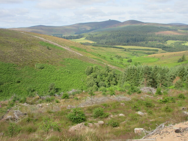
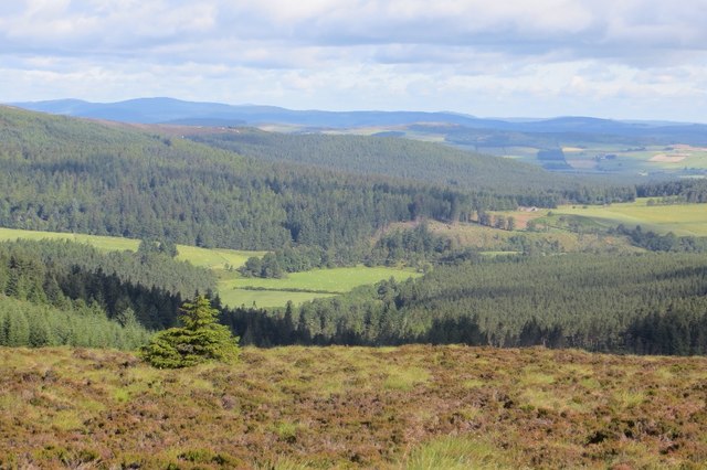
Scolly's Wood is a picturesque woodland located in Kincardineshire, Scotland. Spanning over a vast area, it offers a tranquil and serene environment for nature enthusiasts and hikers alike. The wood is situated on the outskirts of the small village of Scolly, making it easily accessible for locals and visitors.

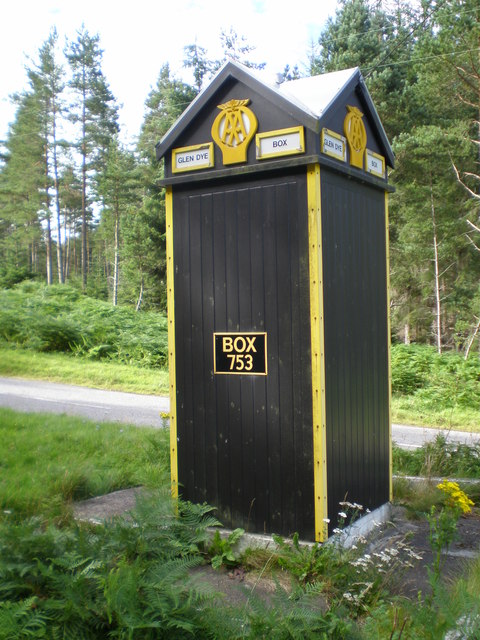
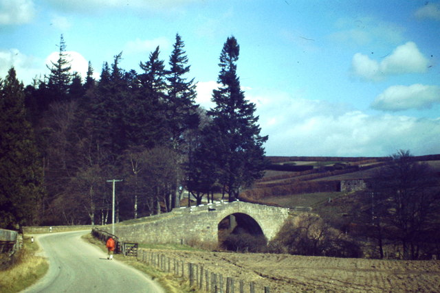
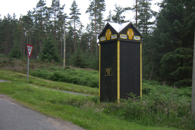
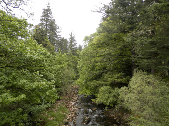
The wood boasts a diverse range of tree species, including ancient oaks, tall pines, and majestic beech trees. The dense foliage provides a lush canopy that filters sunlight, creating a cool and shaded atmosphere within the wood. The forest floor is carpeted with a rich layer of moss, ferns, and wildflowers, adding to its natural beauty.

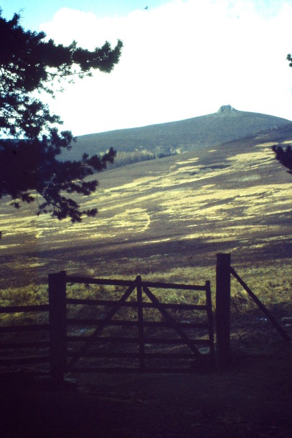
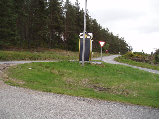
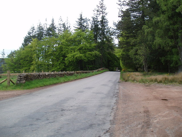
A network of well-maintained trails winds through Scolly's Wood, allowing visitors to explore its various nooks and crannies. These trails offer stunning views of the surrounding countryside and provide opportunities for birdwatching and wildlife spotting. The wood is home to a variety of animals, including red squirrels, deer, and a plethora of bird species.

Scolly's Wood is also renowned for its historical significance. It is believed to have played a role in the ancient Pictish culture, with remnants of their settlements and burial mounds discovered within the wood. The wood's rich history adds an element of intrigue and mystery to its already captivating allure.

Overall, Scolly's Wood is a haven for nature lovers, offering a serene escape from the hustle and bustle of everyday life. With its diverse flora and fauna, beautiful trails, and historical significance, it is a must-visit destination for anyone seeking to immerse themselves in the natural beauty of Kincardineshire.

If you have any feedback on the listing, please let us know in the comments section below.

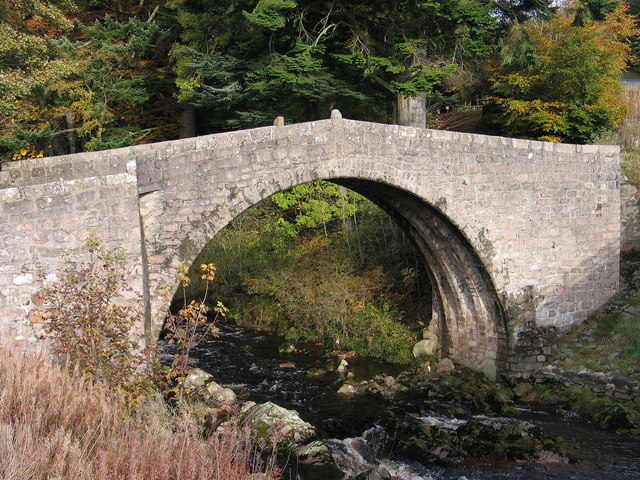
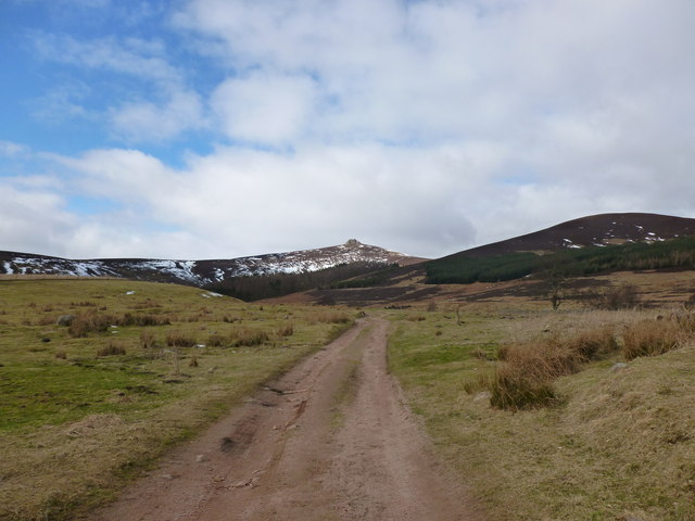
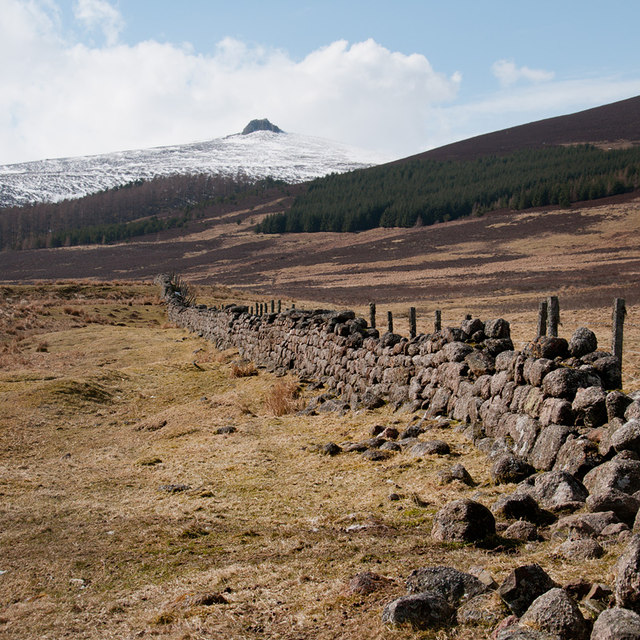
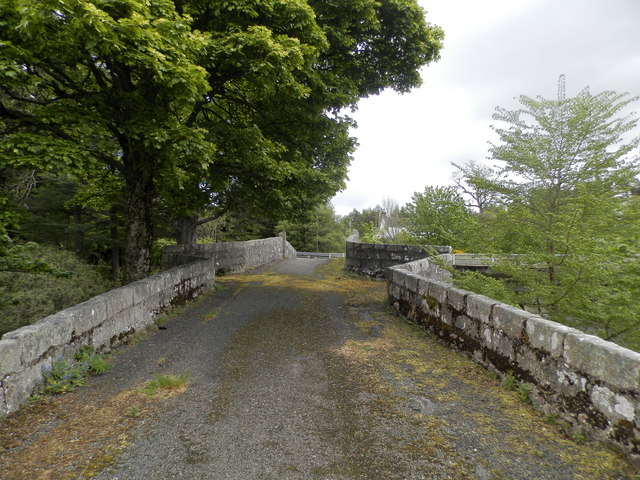
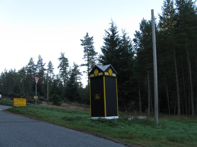
Scolly's Wood Images

Images are sourced within 2km of 56.975682/-2.5732609 or Grid Reference NO6587. Thanks to Geograph Open Source API. All images are credited.

AA box in Aberdeenshire This iconic building is situated on the B974, a few miles north of the Bridge of Dye.
AA box in Aberdeenshire
This iconic building is situated on the B974, a few miles north of the Bridge of Dye.
Bridge of Dye Old road bridge spanning the Water of Dye. It is now superseded by a new bridge to the east.
Bridge of Dye
Old road bridge spanning the Water of Dye. It is now superseded by a new bridge to the east.
Near Glendye Lodge View from lower slopes of Scolly's Hill, across heather moorland, towards Clachnaben with its distinctive tor.
Near Glendye Lodge
View from lower slopes of Scolly's Hill, across heather moorland, towards Clachnaben with its distinctive tor.
AA phonebox in Glen Dye A much-photographed echo of a long-gone era of motoring.
AA phonebox in Glen Dye
A much-photographed echo of a long-gone era of motoring.
Old bridge at Bridge of Dye The B974 passes through the small settlement at Bridge of Dye crossing the Water o' Dye by a modern bridge which replaced this one, built in 1680.
Old bridge at Bridge of Dye
The B974 passes through the small settlement at Bridge of Dye crossing the Water o' Dye by a modern bridge which replaced this one, built in 1680.
Track to Clachnaben The track heads west from Glen Dye towards Clachnaben, a popular short hillwalk
Track to Clachnaben
The track heads west from Glen Dye towards Clachnaben, a popular short hillwalk
Remains of a dyke in Glen Dye Clachnaben is in the distance
Remains of a dyke in Glen Dye
Clachnaben is in the distance
The Bridge of Dye The original Bridge of Dye
The Bridge of Dye
The original Bridge of Dye
AA Telephone box between Fettercairn and Banchory These boxes are few and far between nowadays.
AA Telephone box between Fettercairn and Banchory
These boxes are few and far between nowadays.
The Water of Dye from the old Bridge of Dye
The B974 near Scolly's Cross
Bracken covered hillside Looking westwards over the gully of the Builg Burn to the bracken infested lower northern slopes of Heathery Hill, with Clachnaben in the distance.
Bracken covered hillside
Looking westwards over the gully of the Builg Burn to the bracken infested lower northern slopes of Heathery Hill, with Clachnaben in the distance.
AA box 753 At the start or end of the road over the Cairn O' Mount
AA box 753
At the start or end of the road over the Cairn O' Mount
Water of Dye
Water of Dye
Bend in the burn at Miller's Bog
Path past the sheep pens
Glen Dye Fields stand out amongst the conifer woods in Glen Dye.
Glen Dye
Fields stand out amongst the conifer woods in Glen Dye.
Glen Dye AA Box 753
Glen Dye AA Box 753
Show me another place!

Scolly's Wood is located at Grid Ref: NO6587 (Lat: 56.975682, Lng: -2.5732609)

Unitary Authority: Aberdeenshire

Police Authority: North East

What 3 Words

///resist.fear.banquets. Near Banchory, Aberdeenshire

Nearby Locations

Square Wood Scolly's Wood

Related Wikis

Clachnaben

Clachnaben (archaically "Cloch-na'bain"; Scottish Gaelic: "Clach na Beinne") is a 589-metre hill in Glen Dye, Aberdeenshire, Scotland. It is a distinctive...

Water of Aven

The Water of Aven (or A'an) (Scottish Gaelic: an t-Uisge Bàn) is a tributary of the Water of Feugh, itself the largest tributary of the River Dee, Aberdeenshire...

Strachan, Aberdeenshire

Strachan is a village in Aberdeenshire, Scotland that lies along the Water of Feugh, a tributary of the River Dee, Aberdeenshire, a few miles southwest...

Easter Clune Castle

Easter Clune Castle is a ruined 16th-century tower house, about 6 miles (9.7 km) south-west of Banchory, Aberdeenshire, Scotland, and south of the Water...

Finzean

Finzean (; Scottish Gaelic: Fìnnean) is a rural community, electoral polling district, community council area and former ecclesiastical parish, which forms...

Cairn O' Mounth

Cairn O' Mounth/Cairn O' Mount (Scottish Gaelic: Càrn Mhon) is a high mountain pass in Aberdeenshire, Scotland. The place name is a survival of the ancient...

Drumtochty Forest

Drumtochty Forest is a coniferous woodland in Kincardineshire, Scotland. In earlier times this forest was associated with Drumtochty Castle. Other notable...

Scolty Hill

Scolty Hill is a small hill south of the Deeside town, Banchory. Its best known feature is the 20m tall tower monument, built in 1840 as a memorial to...

Nearby Amenities

Located within 500m of 56.975682,-2.5732609
Post Box
Brand: Royal Mail
Brand Wikidata: Q638098
Check Date: 2021-09-18
Collection Times: Mo-Fr 09:00; Sa 07:00; Su off
Operator: Royal Mail
Operator Wikidata: Q638098
Post Box Design: 2010_pattern
Post Box Type: lamp
Ref: AB31 644
Royal Cypher: scottish_crown
Source: survey
Lat/Long: 56.9778426/-2.5743374
Power: pole
Lat/Long: 56.9799777/-2.5735404
Power: pole
Lat/Long: 56.9793355/-2.5736568
Power: pole
Lat/Long: 56.9789045/-2.573405
Power: pole
Lat/Long: 56.9781477/-2.5729697
Power: pole
Lat/Long: 56.977735/-2.5727344
Power: pole
Lat/Long: 56.9770519/-2.5723307
Power: pole
Lat/Long: 56.9764522/-2.5719789
Power: pole
Lat/Long: 56.9759584/-2.5713904
Power: pole
Lat/Long: 56.9753423/-2.5713712
Power: pole
Lat/Long: 56.9747747/-2.5713808
Power: pole
Lat/Long: 56.9742034/-2.5713671
Power: pole
Lat/Long: 56.9736246/-2.5713521
Power: pole
Lat/Long: 56.9731144/-2.5716176
Power: pole
Lat/Long: 56.9725944/-2.5718886
Power: pole
Lat/Long: 56.9720029/-2.5722033
Power: pole
Lat/Long: 56.9715688/-2.5729629
Scolly's Cross
Place: farm
Lat/Long: 56.9789776/-2.5740414
The data included in this document is from www.openstreetmap.org. The data is made available under ODbL.

Have you been to Scolly's Wood?

Leave your review of Scolly's Wood below (or comments, questions and feedback).