Well Plantation

Wood, Forest in Roxburghshire

Scotland

Well Plantation

Crop field near Rutherford Burnside Towards Hardie's Burn Strip woodland.
Crop field near Rutherford Burnside Credit: JThomas

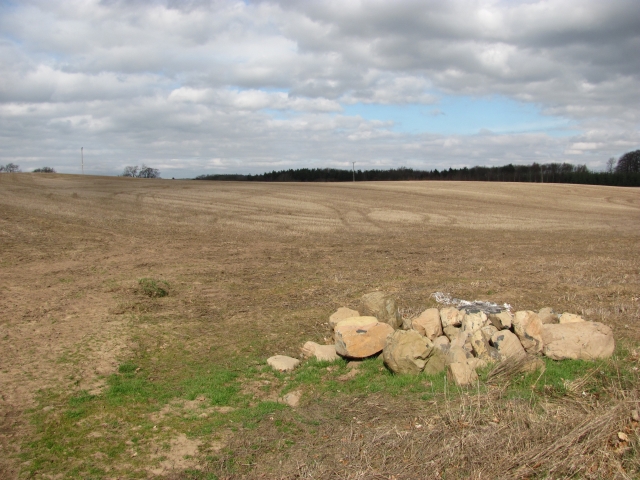
Well Plantation is a sprawling woodland area located in Roxburghshire, Scotland. This vast plantation covers an area of approximately 500 hectares and is renowned for its picturesque beauty and rich biodiversity. It is situated near the village of Morebattle and is easily accessible from the nearby towns of Kelso and Jedburgh.

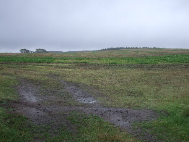
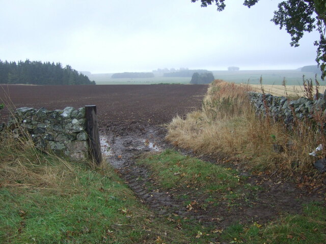
The plantation is predominantly composed of mature coniferous trees, such as Scots pine, Sitka spruce, and Douglas fir, which create a dense canopy overhead. These trees not only provide a stunning backdrop but also serve as a habitat for a wide range of flora and fauna species.

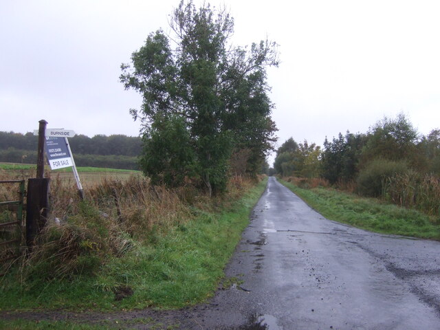
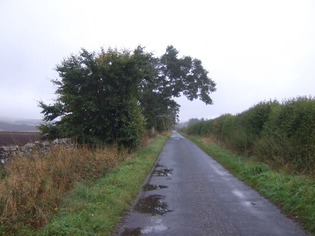
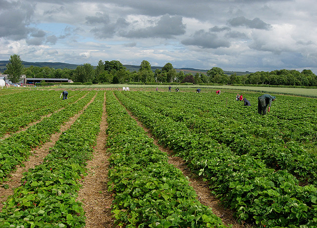
Well Plantation boasts a network of well-maintained footpaths and trails, making it a popular destination for outdoor enthusiasts. Visitors can explore the woodland on foot, enjoying the tranquility and serenity that this natural environment offers. The plantation also offers opportunities for recreational activities, such as jogging, cycling, and wildlife spotting.

The diverse range of wildlife found within Well Plantation is a major draw for nature enthusiasts. Birdwatchers can spot species such as red kites, buzzards, and owls, while animal lovers may catch a glimpse of roe deer, red squirrels, and badgers. The plantation is also home to numerous insect species, including butterflies and beetles.

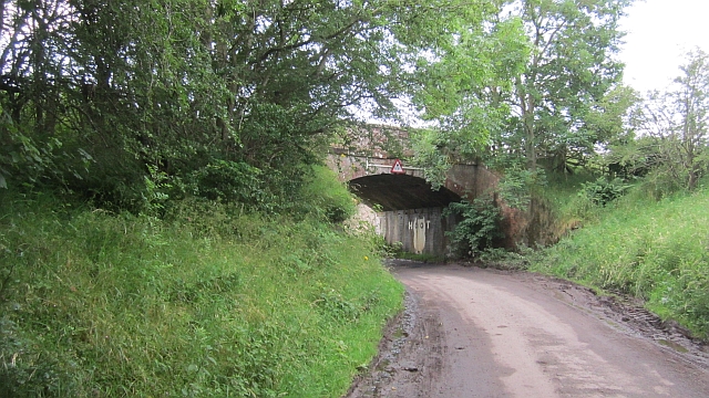
In addition to its natural beauty, Well Plantation has historical significance. The area was once used for timber production, and remnants of old sawmill sites can still be found within the woodland. These historical artifacts offer a glimpse into the region's past and add an extra layer of intrigue to the plantation's appeal.

Overall, Well Plantation in Roxburghshire is a captivating woodland area that offers visitors a chance to immerse themselves in nature, explore its rich biodiversity, and appreciate its historical significance.

If you have any feedback on the listing, please let us know in the comments section below.

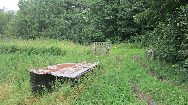
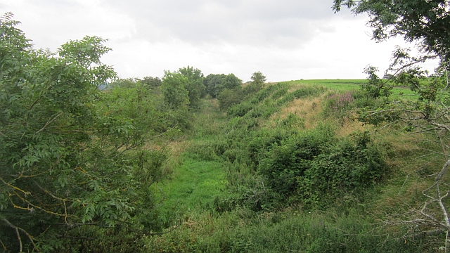
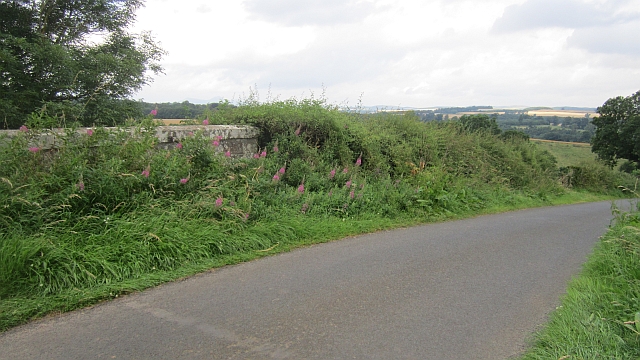
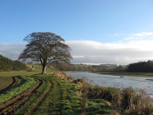
Well Plantation Images

Images are sourced within 2km of 55.572087/-2.5436108 or Grid Reference NT6531. Thanks to Geograph Open Source API. All images are credited.

Crop field near Rutherford Burnside Towards Hardie's Burn Strip woodland.
Crop field near Rutherford Burnside
Towards Hardie's Burn Strip woodland.
Minor road near Rutherford Burnside Towards Pirnie.
Minor road near Rutherford Burnside
Towards Pirnie.
Field entrance near Pirnie
Minor road towards Pirnie
A phone box at Makerstoun It appears to be used as the village library.
A phone box at Makerstoun
It appears to be used as the village library.
Makerstoun phone box The box is being used as a library.
Makerstoun phone box
The box is being used as a library.
Arable land, Rutherford Burnside Several fields here have recently accumulated piles of stones. This suggests a recent switch to arable use.
Arable land, Rutherford Burnside
Several fields here have recently accumulated piles of stones. This suggests a recent switch to arable use.
Rutherford Burnside Newly emerging cereal crop in dry conditions.
Rutherford Burnside
Newly emerging cereal crop in dry conditions.
Border Berries at Rutherford Farm Two large fields on the south side of the main farm buildings are used during the summer months as a pick your own fruit farm. The main fruits are strawberries, raspberries, gooseberries, red currants and black currants. On this occasion I was picking strawberries.
Border Berries at Rutherford Farm
Two large fields on the south side of the main farm buildings are used during the summer months as a pick your own fruit farm. The main fruits are strawberries, raspberries, gooseberries, red currants and black currants. On this occasion I was picking strawberries.
Border Berries A large area on the south side of Rutherford Farm buildings is used during the summer months as a pick your own fruit farm. The main fruits are strawberries, raspberries, gooseberries, red currants, black currants, Tay berries and black berries. Due to an unseasonably cold spring and recent inclement weather some fruits will ripen later than usual but strawberries were ready for picking on my visit.
Border Berries
A large area on the south side of Rutherford Farm buildings is used during the summer months as a pick your own fruit farm. The main fruits are strawberries, raspberries, gooseberries, red currants, black currants, Tay berries and black berries. Due to an unseasonably cold spring and recent inclement weather some fruits will ripen later than usual but strawberries were ready for picking on my visit.
The "Hoot Bridge", Rutherford Overbridge which carried the Kelso Branch over a minor road. There is a sharp left on the other side - hence the owl message <a href="https://www.geograph.org.uk/photo/1988949">NT6430 : Motorists, hoot your horn!</a>.
The "Hoot Bridge", Rutherford
Overbridge which carried the Kelso Branch over a minor road. There is a sharp left on the other side - hence the owl message NT6430 : Motorists, hoot your horn!.
Kelso Branch Railway A track allows farm access to the trackbed which is used as field access here.
Kelso Branch Railway
A track allows farm access to the trackbed which is used as field access here.
Tweed flood plain near Rutherford Grassland beside the Tweed.
Tweed flood plain near Rutherford
Grassland beside the Tweed.
Roxburgh Newtown Sheep graze beside the Stockstruther Burn on land obviously unsuited to arable use.
Roxburgh Newtown
Sheep graze beside the Stockstruther Burn on land obviously unsuited to arable use.
Stockstruther Burn Flowing between steep banks towards the Tweed.
Stockstruther Burn
Flowing between steep banks towards the Tweed.
Kelso Branch Railway Overgrown railway trackbed at Roxburgh Newtown.
Kelso Branch Railway
Overgrown railway trackbed at Roxburgh Newtown.
Railway bridge, Roxburgh Newtown A road bridge over the Kelso Branch Railway.
Railway bridge, Roxburgh Newtown
A road bridge over the Kelso Branch Railway.
'In Isolation' This fine specimen of a Beech Tree stands close to the River Tweed near Dalcove Braes.
'In Isolation'
This fine specimen of a Beech Tree stands close to the River Tweed near Dalcove Braes.
Show me another place!

Well Plantation is located at Grid Ref: NT6531 (Lat: 55.572087, Lng: -2.5436108)

Unitary Authority: The Scottish Borders

Police Authority: The Lothians and Scottish Borders

What 3 Words

///foreheads.presides.tribes. Near Saint Boswells, Scottish Borders

Related Wikis

Rutherford railway station

Rutherford railway station served the parish of Maxton, Roxburghshire, Scotland from 1851 to 1964 on the Kelso Line. == History == The station opened in...

Borders Abbeys Way

The Borders Abbeys Way is a long-distance footpath in the Scottish Borders area of Scotland. It is a circular walkway and is 109 kilometres (68 mi) in...

Makerstoun

Makerstoun is a parish in the Scottish Borders area of Scotland, as well as the historic county of Roxburghshire, 4 miles (6 km) south-west of Kelso.The...

Roxburgh railway station

Roxburgh railway station was on the Kelso Line, and served the village of Roxburgh, Scottish Borders, from 1850 to 1964. == History == The station was...

Nearby Amenities

Located within 500m of 55.572087,-2.5436108
Rutherford
Historic Railway: station
Railway: site
Lat/Long: 55.5699372/-2.5486364
Site of Rutherford Village
Historic: archaeological_site
Lat/Long: 55.5734777/-2.5501423
Rutherford Mains
Place: hamlet
Lat/Long: 55.5694439/-2.5491035
Rutherford Mill
Place: locality
Lat/Long: 55.5724087/-2.5389554
Power: pole
Lat/Long: 55.569918/-2.5505675
Give Way
Direction: backward
Lat/Long: 55.5696096/-2.5483105
The data included in this document is from www.openstreetmap.org. The data is made available under ODbL.

Have you been to Well Plantation?

Leave your review of Well Plantation below (or comments, questions and feedback).