Cupstane Wood

Wood, Forest in Berwickshire

Scotland

Cupstane Wood

Log pile near Wedderlie One of several in the area.
Log pile near Wedderlie Credit: M J Richardson

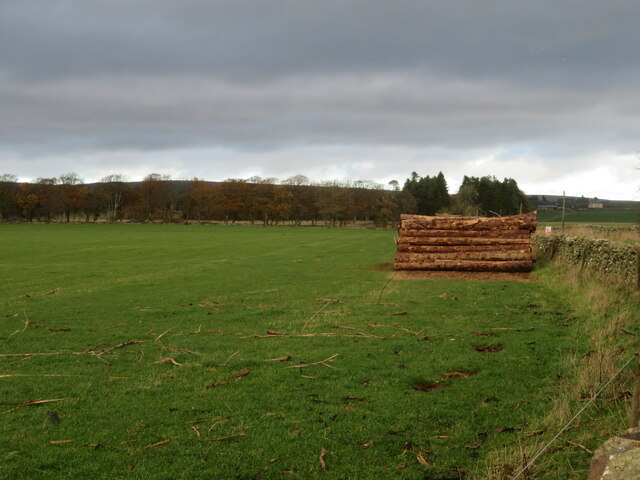
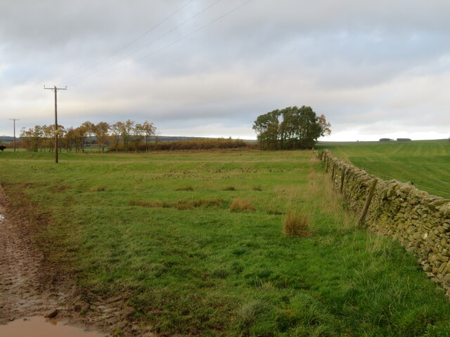
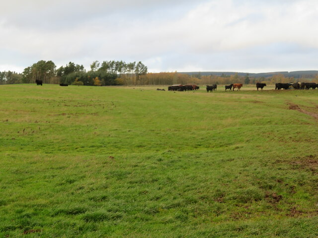
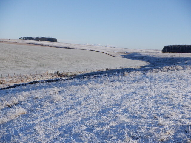
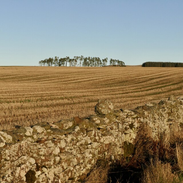
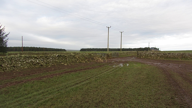
Cupstane Wood is a picturesque woodland located in the heart of Berwickshire, a historical county in the southeast of Scotland. This enchanting forest covers an area of approximately 100 acres and is renowned for its natural beauty and diverse wildlife.

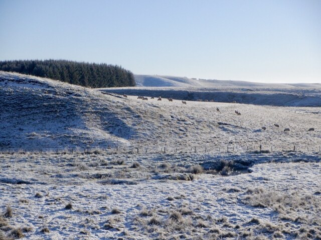
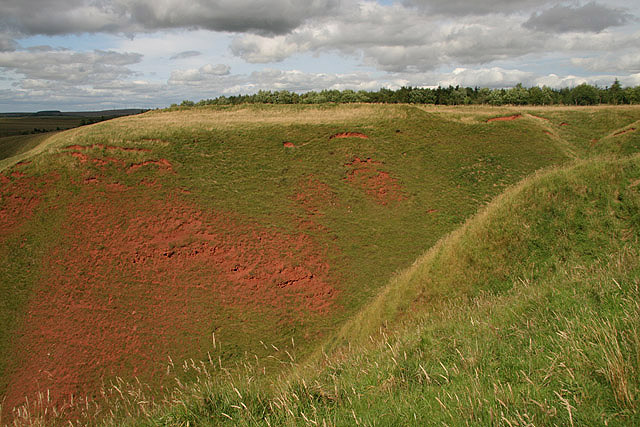
The wood is primarily composed of native broadleaf trees such as oak, beech, and birch, which create a stunning canopy that changes with the seasons. In spring, the forest floor is carpeted with bluebells, creating a breathtaking sight for visitors. Cupstane Wood is also home to a variety of animal species, including red squirrels, roe deer, and a plethora of bird species, making it a popular destination for nature enthusiasts and birdwatchers.

One of the main attractions within Cupstane Wood is the Cupstane, a prehistoric stone monument dating back to the Bronze Age. This ancient carved stone, standing at over 2 meters tall, is believed to have served as a ceremonial site or a boundary marker in ancient times. Its mysterious origins and intricate carvings make it a fascinating archaeological site to explore.

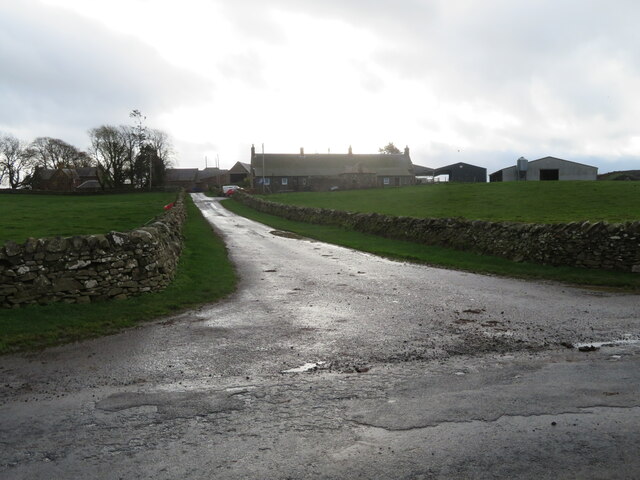
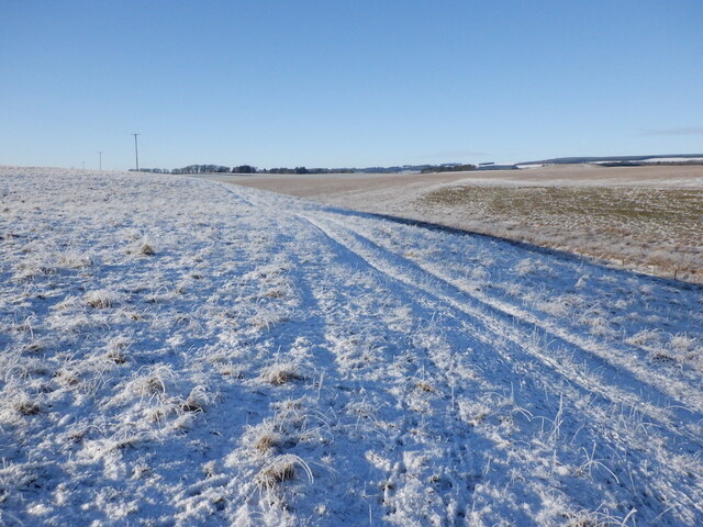
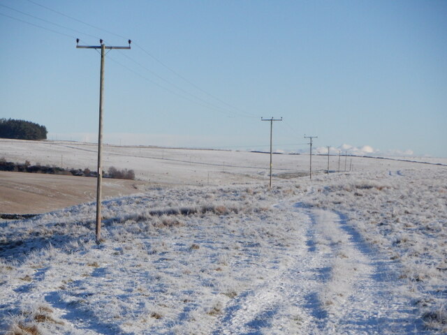
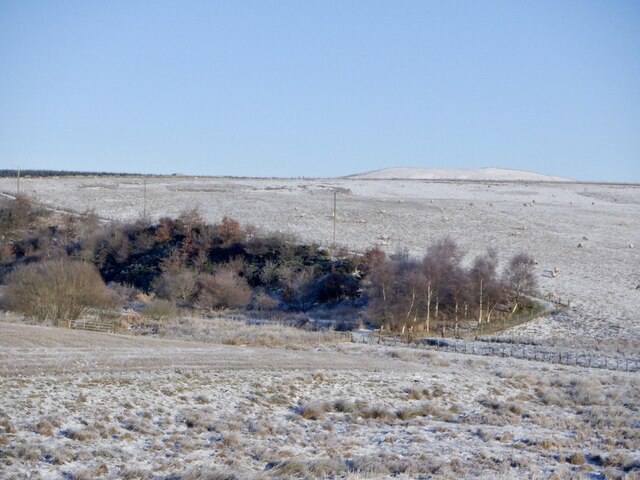
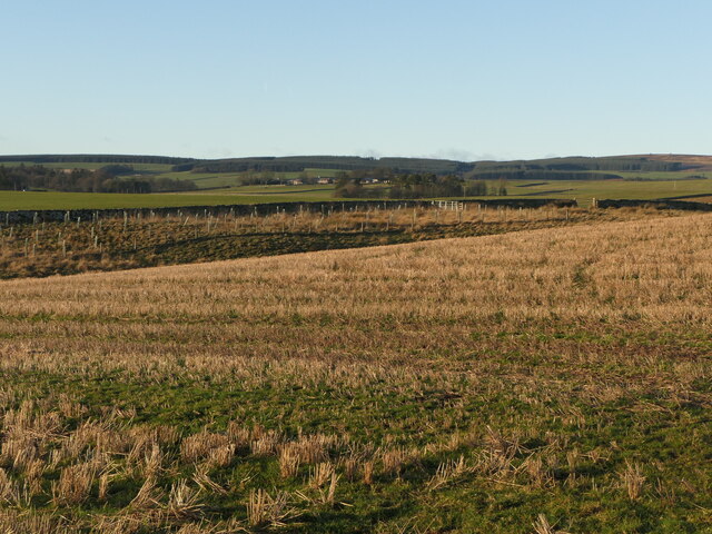
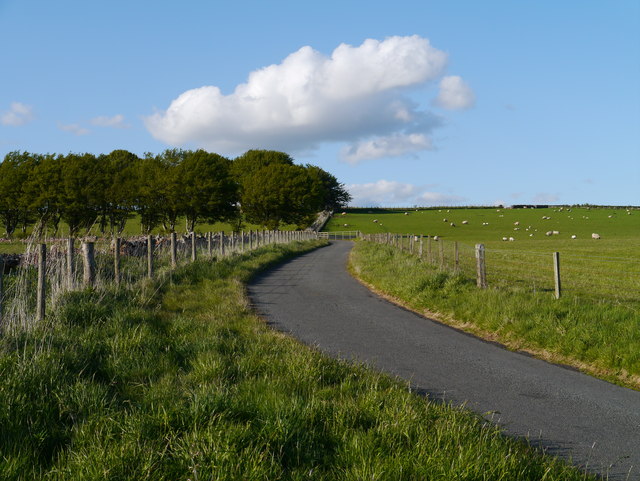
The wood is easily accessible via well-maintained footpaths that wind through the trees, providing opportunities for leisurely walks and peaceful picnics. Visitors can also enjoy the tranquil atmosphere by following the sound of a babbling brook that meanders through the woodland, adding to its ethereal charm.

Overall, Cupstane Wood offers a tranquil escape into nature, where visitors can immerse themselves in the stunning surroundings and discover the ancient history of the area.

If you have any feedback on the listing, please let us know in the comments section below.

Cupstane Wood Images

Images are sourced within 2km of 55.732879/-2.5458123 or Grid Reference NT6548. Thanks to Geograph Open Source API. All images are credited.

Log pile near Wedderlie One of several in the area.
Log pile near Wedderlie
One of several in the area.
Wedderlie farm sign With a fine black bull. The house is also a wedding venue.
Wedderlie farm sign
With a fine black bull. The house is also a wedding venue.
Good advice to sat. nav. dependants Sign at the junction of the road to Wedderlie farm with the B6456.
Good advice to sat. nav. dependants
Sign at the junction of the road to Wedderlie farm with the B6456.
Fields at Cammerlaws North of the B6456 and east of Westruther.
Fields at Cammerlaws
North of the B6456 and east of Westruther.
Grazing cattle at Cammerlaws With woodland beyond, mainly Birch.
Grazing cattle at Cammerlaws
With woodland beyond, mainly Birch.
Road to Cammerlaws farm A farm in the Lammermuir foothills, off the B6456.
Road to Cammerlaws farm
A farm in the Lammermuir foothills, off the B6456.
Farmland near Westruther Stubble north of the burn, rime covered rough grazing in the foreground.
Farmland near Westruther
Stubble north of the burn, rime covered rough grazing in the foreground.
Burn near Westruther As usual, not named by the Ordnance Survey, a headwater of the Blackadder Water. Along with the electric fences, quite a barrier.
Burn near Westruther
As usual, not named by the Ordnance Survey, a headwater of the Blackadder Water. Along with the electric fences, quite a barrier.
Fields near Cammerlaws
Power line on Harelaw Moor
Woodland, Hurdlaw
Woodland, Hurdlaw
Blackadder Water
Blackadder Water
Stubble, Hurd Law
Stubble, Hurd Law
Stubble and Evelaw Burn Arable land east of Westruther.
Stubble and Evelaw Burn
Arable land east of Westruther.
Hare Law A tree topped hill with grazing sheep. There are many electric fences here which suggests that cattle are also grazed here.
Hare Law
A tree topped hill with grazing sheep. There are many electric fences here which suggests that cattle are also grazed here.
Approaching warm front Heralding the next lot of rain and probably unpleasantly mild weather, The Cheviot <a href="https://www.geograph.org.uk/photo/279853">NT9020 : The Cheviot trig point</a> is streaming cloud.  An hour early the sky was almost cloudless and the earth frostbound. Now temperatures are rising, the sky going from milky to cloudy and cloud is condensing where air is forced to rise by the 800m high hill.
Hume Castle <a href="https://www.geograph.org.uk/photo/1467885">NT7041 : Hume Castle</a> is silhouetted against one of the distant hills.
Approaching warm front
Heralding the next lot of rain and probably unpleasantly mild weather, The Cheviot NT9020 : The Cheviot trig point is streaming cloud. An hour early the sky was almost cloudless and the earth frostbound. Now temperatures are rising, the sky going from milky to cloudy and cloud is condensing where air is forced to rise by the 800m high hill. Hume Castle NT7041 : Hume Castle is silhouetted against one of the distant hills.
Gates, Hyndberry Gates and a track over Hare Law south of Westruther. It is signposted as a path from the A697 and is part of a route from Gordon to Westruther.
Gates, Hyndberry
Gates and a track over Hare Law south of Westruther. It is signposted as a path from the A697 and is part of a route from Gordon to Westruther.
Approach To A Beech-lined Avenue No doubt helpful in keeping snow off the road in winter to some extent, this Beech-lined approach to Halliburton Farm (off to the left of shot) is in full leaf.
Approach To A Beech-lined Avenue
No doubt helpful in keeping snow off the road in winter to some extent, this Beech-lined approach to Halliburton Farm (off to the left of shot) is in full leaf.
Show me another place!

Cupstane Wood is located at Grid Ref: NT6548 (Lat: 55.732879, Lng: -2.5458123)

Unitary Authority: The Scottish Borders

Police Authority: The Lothians and Scottish Borders

What 3 Words

///nurture.condensed.powerful. Near Lauder, Scottish Borders

Related Wikis

Blackadder Water

Blackadder Water () is a river in Berwickshire in the Scottish Borders area of Scotland, forming part of the River Tweed system. It reached 2.84m at Mouthbridge...

Westruther

Westruther is a village on the B6465, in the Scottish Borders area of Scotland, on the lower slopes of the Lammermuir Hills, in the former Berwickshire...

Houndslow

Houndslow is a hamlet in the Scottish Borders area of Scotland. It is situated on the A697, about 5 miles (8.0 km) west of Greenlaw, and 3 miles (4.8 km...

Greenlaw Moor

Greenlaw Moor is an area of raised heather moorland in the foothills of the Lammermuir Hills, in the Scottish Borders area of Scotland. Located north of...

Bedshiel

Bedshiel is a village in the Scottish Borders area of Scotland on the B6456, six miles from Duns, two miles from Greenlaw, Longformacus and Westruther...

Berwickshire

Berwickshire (; Scottish Gaelic: Siorrachd Bhearaig) is a historic county, registration county and lieutenancy area in south-eastern Scotland, on the English...

Blackcastle Rings

The Blackcastle Rings are earthworks and a promontory fort in the Parish of Greenlaw, above the left bank of the Blackadder Water, in the Scottish Borders...

Bassendean, Scottish Borders

Bassendean is a village in the Scottish Borders area of Scotland, 4 kilometres (2.5 mi) south of Westruther and 3 kilometres (1.9 mi) north-west of Gordon...

Have you been to Cupstane Wood?

Leave your review of Cupstane Wood below (or comments, questions and feedback).