Barebreeks Wood

Wood, Forest in Berwickshire

Scotland

Barebreeks Wood

Farmland near Westruther Stubble north of the burn, rime covered rough grazing in the foreground.
Farmland near Westruther Credit: Richard Webb

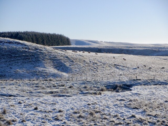
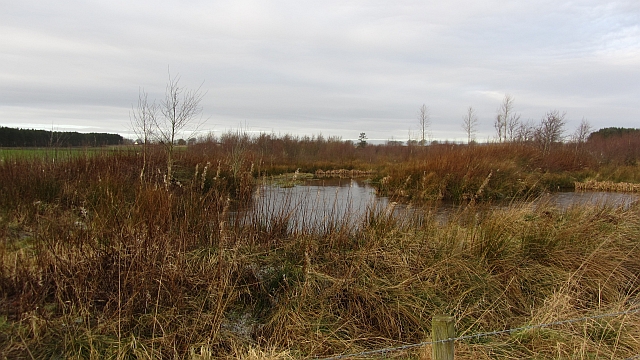
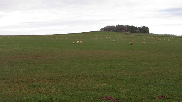
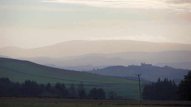
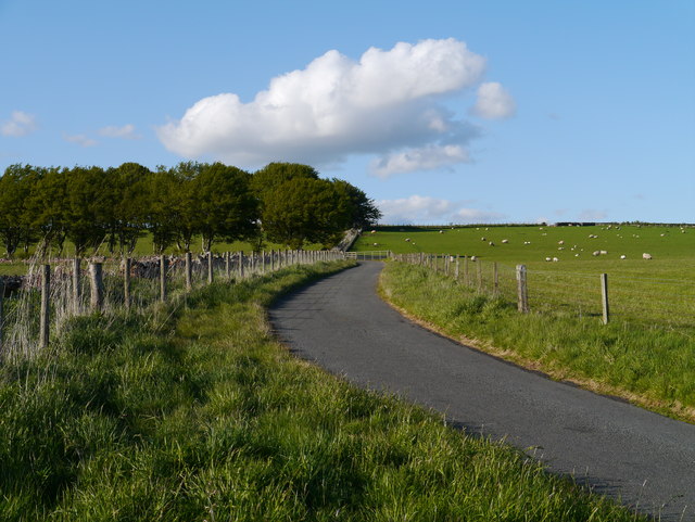
Barebreeks Wood, located in Berwickshire, is a picturesque forest that spans over a vast area. With its stunning natural beauty, it offers a serene and tranquil environment for both locals and visitors to enjoy. The wood is situated in the southeastern part of Scotland, near the border with England.

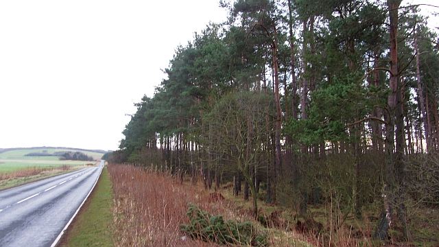
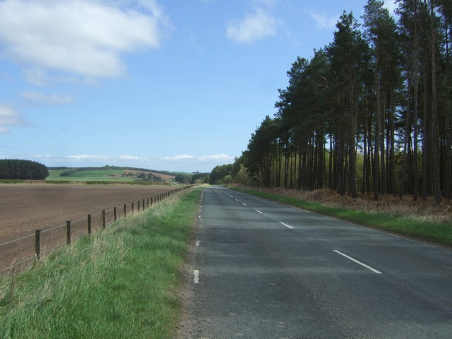
The wood is characterized by its dense canopy of tall trees, predominantly comprising native species such as oak, birch, and beech. These trees provide ample shade, creating a cool and inviting atmosphere, especially during the summer months. The forest floor is covered with a thick layer of moss and ferns, adding to its enchanting appeal.

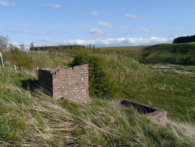
Barebreeks Wood is home to a diverse range of wildlife, making it a popular spot for nature enthusiasts. Birdwatchers can spot a variety of species, including woodpeckers, owls, and various songbirds. Deer can often be seen grazing or wandering through the forest, adding to the sense of natural beauty and tranquility.

For those looking to explore, there are well-maintained paths and trails that wind through the wood, allowing visitors to immerse themselves in its natural splendor. These trails offer breathtaking views of the surrounding countryside, making it an ideal spot for hikers and walkers.

Overall, Barebreeks Wood in Berwickshire is a captivating forest that offers a peaceful retreat from the hustle and bustle of everyday life. Its stunning scenery, diverse wildlife, and well-maintained trails make it a must-visit destination for nature lovers and outdoor enthusiasts alike.

If you have any feedback on the listing, please let us know in the comments section below.

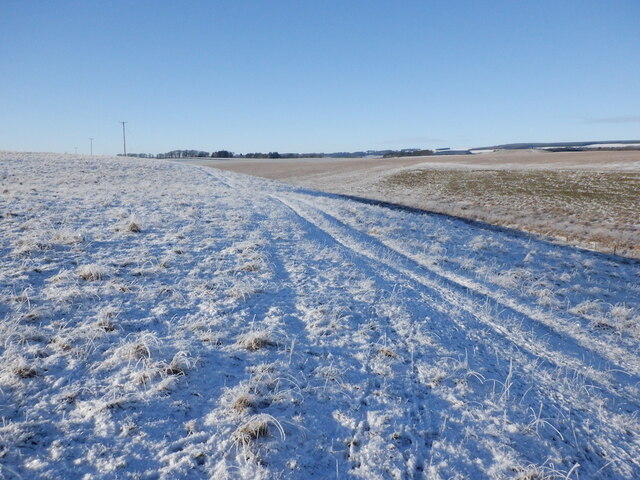
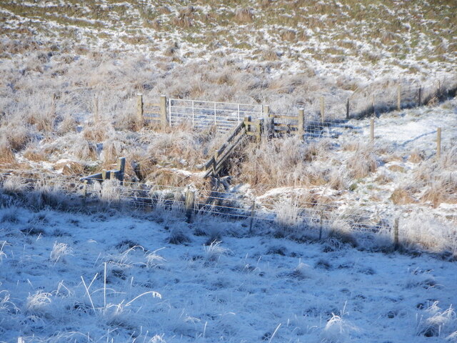
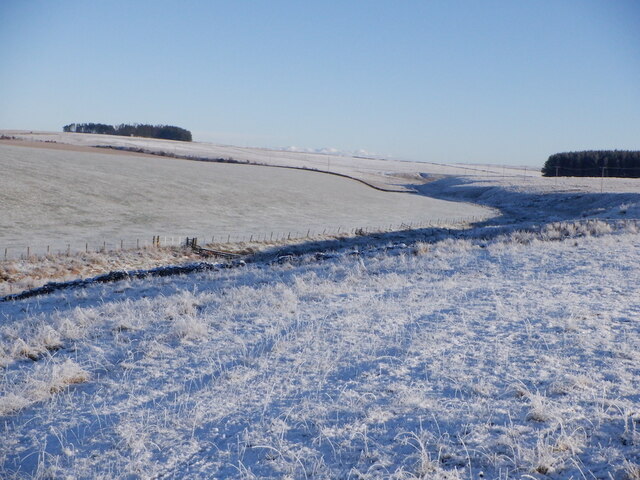
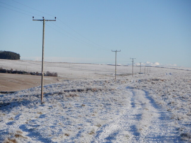
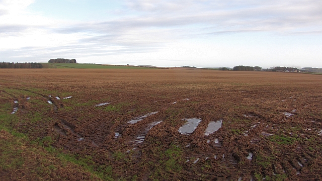
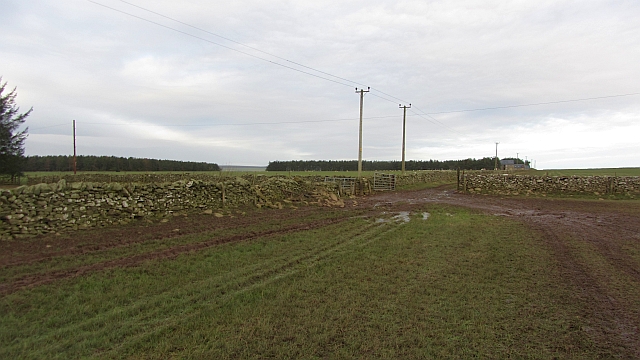
Barebreeks Wood Images

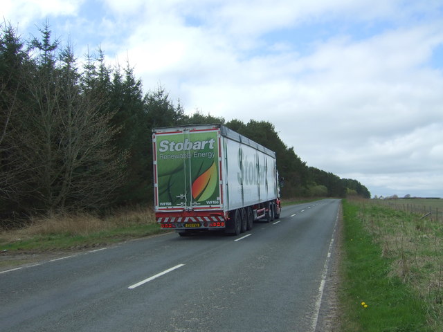
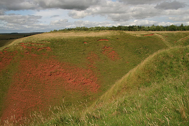
Images are sourced within 2km of 55.725947/-2.5488043 or Grid Reference NT6548. Thanks to Geograph Open Source API. All images are credited.

Farmland near Westruther Stubble north of the burn, rime covered rough grazing in the foreground.
Farmland near Westruther
Stubble north of the burn, rime covered rough grazing in the foreground.
Burn near Westruther As usual, not named by the Ordnance Survey, a headwater of the Blackadder Water. Along with the electric fences, quite a barrier.
Burn near Westruther
As usual, not named by the Ordnance Survey, a headwater of the Blackadder Water. Along with the electric fences, quite a barrier.
Fields near Cammerlaws
Power line on Harelaw Moor
Blackadder Water
Blackadder Water
Flight pool One of a pair recently dug to attract ducks. They were populated with mallard and teal on this occasion. The former conifer wood on the site was felled and replanted.
Flight pool
One of a pair recently dug to attract ducks. They were populated with mallard and teal on this occasion. The former conifer wood on the site was felled and replanted.
Hare Law A tree topped hill with grazing sheep. There are many electric fences here which suggests that cattle are also grazed here.
Hare Law
A tree topped hill with grazing sheep. There are many electric fences here which suggests that cattle are also grazed here.
Approaching warm front Heralding the next lot of rain and probably unpleasantly mild weather, The Cheviot <a href="https://www.geograph.org.uk/photo/279853">NT9020 : The Cheviot trig point</a> is streaming cloud.  An hour early the sky was almost cloudless and the earth frostbound. Now temperatures are rising, the sky going from milky to cloudy and cloud is condensing where air is forced to rise by the 800m high hill.
Hume Castle <a href="https://www.geograph.org.uk/photo/1467885">NT7041 : Hume Castle</a> is silhouetted against one of the distant hills.
Approaching warm front
Heralding the next lot of rain and probably unpleasantly mild weather, The Cheviot NT9020 : The Cheviot trig point is streaming cloud. An hour early the sky was almost cloudless and the earth frostbound. Now temperatures are rising, the sky going from milky to cloudy and cloud is condensing where air is forced to rise by the 800m high hill. Hume Castle NT7041 : Hume Castle is silhouetted against one of the distant hills.
Houndslow Strip A big strip wood in a landscape of strip woods. It runs beside the A697.
Houndslow Strip
A big strip wood in a landscape of strip woods. It runs beside the A697.
Stubble Arable land south of the Lammermuir Hills.
Stubble
Arable land south of the Lammermuir Hills.
Gates, Hyndberry Gates and a track over Hare Law south of Westruther. It is signposted as a path from the A697 and is part of a route from Gordon to Westruther.
Gates, Hyndberry
Gates and a track over Hare Law south of Westruther. It is signposted as a path from the A697 and is part of a route from Gordon to Westruther.
Gate latch This kind of latch has a cunningly curved hook which makes fastening the gate very easy. A clip prevents accidental opening.
Gate latch
This kind of latch has a cunningly curved hook which makes fastening the gate very easy. A clip prevents accidental opening.
Approach To A Beech-lined Avenue No doubt helpful in keeping snow off the road in winter to some extent, this Beech-lined approach to Halliburton Farm (off to the left of shot) is in full leaf.
Approach To A Beech-lined Avenue
No doubt helpful in keeping snow off the road in winter to some extent, this Beech-lined approach to Halliburton Farm (off to the left of shot) is in full leaf.
Structures Overlooking The Blackadder Water Two small structures adjacent to the presumed remains of a pumping station near Halliburton Farm.  The Blackadder Water floodplain can be noted to the right of the image.
Structures Overlooking The Blackadder Water
Two small structures adjacent to the presumed remains of a pumping station near Halliburton Farm. The Blackadder Water floodplain can be noted to the right of the image.
Field towards woodland east of Houndslow Looking north from the A697.
Field towards woodland east of Houndslow
Looking north from the A697.
A697 beside Houndslow Wood Looking south east.
A697 beside Houndslow Wood
Looking south east.
Track through Houndslow Wood Access to the fields beyond from the A697.
Track through Houndslow Wood
Access to the fields beyond from the A697.
Eddie Stobart renewable energy truck on the A697 Looking north west beside Houndslow Wood.
Eddie Stobart renewable energy truck on the A697
Looking north west beside Houndslow Wood.
Show me another place!

Barebreeks Wood is located at Grid Ref: NT6548 (Lat: 55.725947, Lng: -2.5488043)

Unitary Authority: The Scottish Borders

Police Authority: The Lothians and Scottish Borders

What 3 Words

///snail.lighter.fruitcake. Near Earlston, Scottish Borders

Related Wikis

Houndslow

Houndslow is a hamlet in the Scottish Borders area of Scotland. It is situated on the A697, about 5 miles (8.0 km) west of Greenlaw, and 3 miles (4.8 km...

Westruther

Westruther is a village on the B6465, in the Scottish Borders area of Scotland, on the lower slopes of the Lammermuir Hills, in the former Berwickshire...

Blackadder Water

Blackadder Water () is a river in Berwickshire in the Scottish Borders area of Scotland, forming part of the River Tweed system. It reached 2.84m at Mouthbridge...

Greenlaw Moor

Greenlaw Moor is an area of raised heather moorland in the foothills of the Lammermuir Hills, in the Scottish Borders area of Scotland. Located north of...

Bassendean, Scottish Borders

Bassendean is a village in the Scottish Borders area of Scotland, 4 kilometres (2.5 mi) south of Westruther and 3 kilometres (1.9 mi) north-west of Gordon...

Blackcastle Rings

The Blackcastle Rings are earthworks and a promontory fort in the Parish of Greenlaw, above the left bank of the Blackadder Water, in the Scottish Borders...

Berwickshire

Berwickshire (; Scottish Gaelic: Siorrachd Bhearaig) is a historic county, registration county and lieutenancy area in south-eastern Scotland, on the English...

Bedshiel

Bedshiel is a village in the Scottish Borders area of Scotland on the B6456, six miles from Duns, two miles from Greenlaw, Longformacus and Westruther...

Nearby Amenities

Located within 500m of 55.725947,-2.5488043
Harelaw
Place: hamlet
Lat/Long: 55.7230431/-2.5537271
Barrier: cattle_grid
Lat/Long: 55.7234215/-2.5498907
Barrier: cattle_grid
Lat/Long: 55.7253339/-2.5500284
Harelaw Moor
Place: isolated_dwelling
Lat/Long: 55.7256097/-2.54958
Power: pole
Lat/Long: 55.7236093/-2.5526908
Power: pole
Lat/Long: 55.7244168/-2.5533797
Power: pole
Lat/Long: 55.725187/-2.5540508
Power: pole
Lat/Long: 55.7256165/-2.5531916
Power: pole
Lat/Long: 55.7260646/-2.5523298
Power: pole
Lat/Long: 55.7264955/-2.5514858
Power: pole
Lat/Long: 55.7257425/-2.5505859
Power: pole
Lat/Long: 55.7250052/-2.556565
Power: pole
Lat/Long: 55.7251254/-2.5550092
Power: pole
Lat/Long: 55.7267775/-2.5450173
Power: pole
Lat/Long: 55.7262135/-2.5448521
Power: pole
Lat/Long: 55.7256322/-2.5446869
Power: pole
Lat/Long: 55.7249594/-2.5444657
Power: pole
Lat/Long: 55.724454/-2.5442827
Power: pole
Lat/Long: 55.7239415/-2.5441022
Power: pole
Lat/Long: 55.7232471/-2.5435353
Power: pole
Lat/Long: 55.7266687/-2.5475773
Power: pole
Lat/Long: 55.7267145/-2.5463291
Power: pole
Lat/Long: 55.7268505/-2.543642
Power: pole
Lat/Long: 55.726925/-2.5422871
The data included in this document is from www.openstreetmap.org. The data is made available under ODbL.

Have you been to Barebreeks Wood?

Leave your review of Barebreeks Wood below (or comments, questions and feedback).