Stell Wood

Wood, Forest in Berwickshire

Scotland

Stell Wood

Wedderlie farm sign With a fine black bull. The house is also a wedding venue.
Wedderlie farm sign Credit: M J Richardson

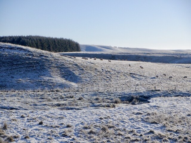
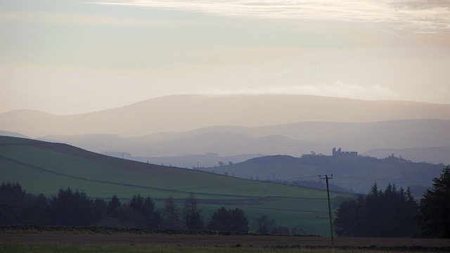
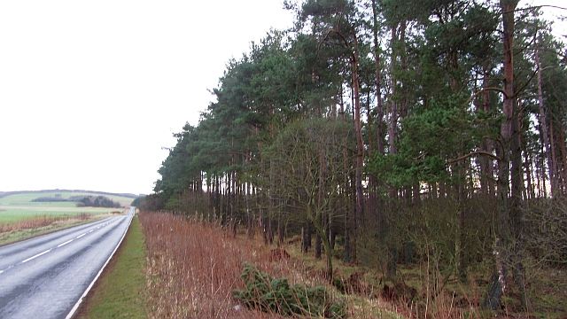
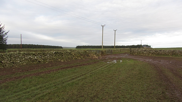
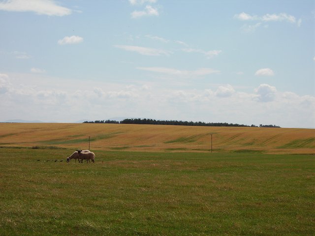
Stell Wood, located in Berwickshire, is a picturesque forest that offers a serene and idyllic escape for nature enthusiasts. Spanning over a vast area, the wood is known for its diverse range of tree species and thriving wildlife, making it a haven for outdoor enthusiasts and wildlife lovers alike.

Famous for its ancient oak trees, Stell Wood boasts a rich history that dates back centuries. These majestic oaks, some of which are believed to be over 500 years old, lend an air of mystique and grandeur to the forest. The wood is also home to other tree species, including ash, beech, and silver birch, creating a vibrant and varied landscape.

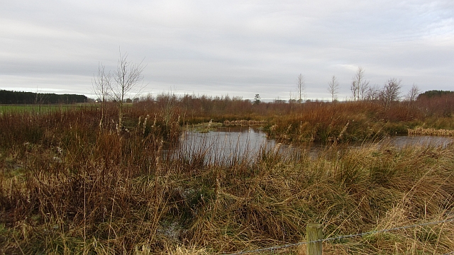
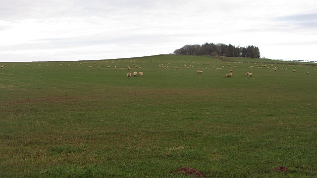
The forest floor is blanketed with a lush carpet of ferns, bluebells, and wildflowers, adding bursts of color and beauty to the woodland. This rich undergrowth provides a habitat for various wildlife species, including squirrels, deer, and a myriad of bird species, making Stell Wood a prime spot for birdwatching and wildlife photography.

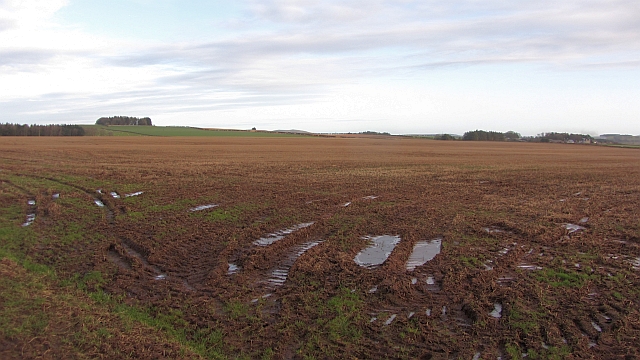
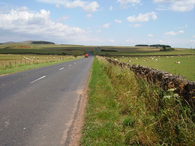
For those looking to explore the wood, there are well-maintained walking trails that wind through the forest, allowing visitors to immerse themselves in the natural beauty and tranquility of the surroundings. These trails offer an opportunity to discover hidden gems within the forest, such as enchanting glens, babbling brooks, and secluded picnic spots.

In summary, Stell Wood in Berwickshire is a captivating forest that showcases the splendor of nature. With its ancient oak trees, diverse flora, and thriving wildlife, it provides a captivating and immersive experience for visitors seeking solace in the great outdoors.

If you have any feedback on the listing, please let us know in the comments section below.
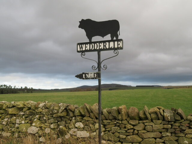
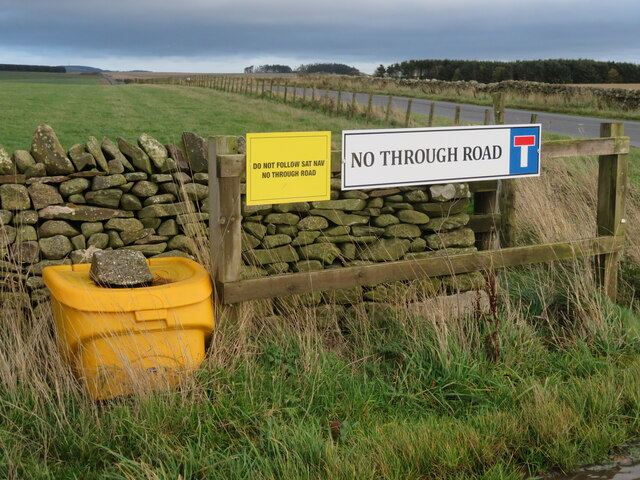
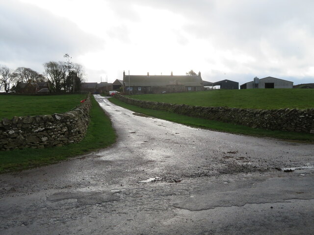
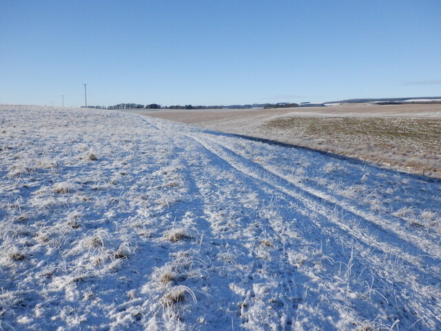
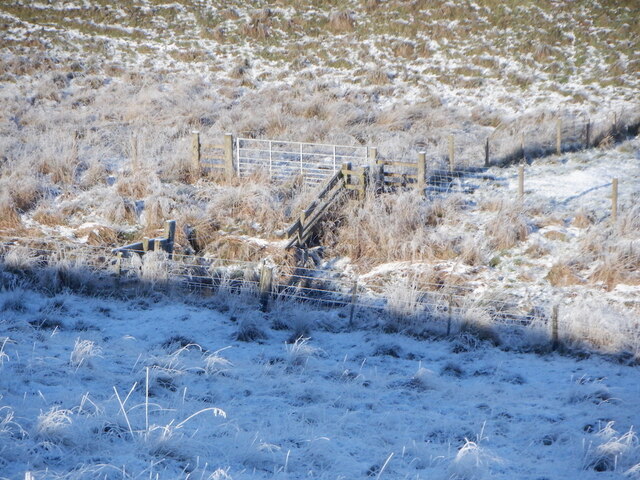
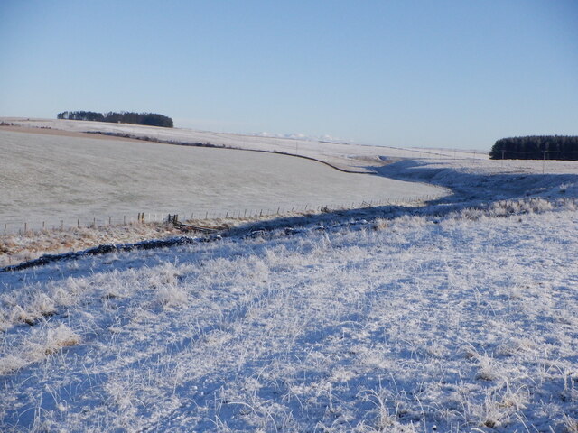
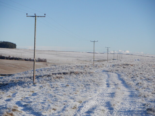
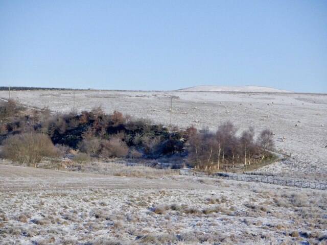
Stell Wood Images

Images are sourced within 2km of 55.729193/-2.5523528 or Grid Reference NT6548. Thanks to Geograph Open Source API. All images are credited.

Wedderlie farm sign With a fine black bull. The house is also a wedding venue.
Wedderlie farm sign
With a fine black bull. The house is also a wedding venue.
Good advice to sat. nav. dependants Sign at the junction of the road to Wedderlie farm with the B6456.
Good advice to sat. nav. dependants
Sign at the junction of the road to Wedderlie farm with the B6456.
Road to Cammerlaws farm A farm in the Lammermuir foothills, off the B6456.
Road to Cammerlaws farm
A farm in the Lammermuir foothills, off the B6456.
Farmland near Westruther Stubble north of the burn, rime covered rough grazing in the foreground.
Farmland near Westruther
Stubble north of the burn, rime covered rough grazing in the foreground.
Burn near Westruther As usual, not named by the Ordnance Survey, a headwater of the Blackadder Water. Along with the electric fences, quite a barrier.
Burn near Westruther
As usual, not named by the Ordnance Survey, a headwater of the Blackadder Water. Along with the electric fences, quite a barrier.
Fields near Cammerlaws
Power line on Harelaw Moor
Woodland, Hurdlaw
Woodland, Hurdlaw
Blackadder Water
Blackadder Water
Flight pool One of a pair recently dug to attract ducks. They were populated with mallard and teal on this occasion. The former conifer wood on the site was felled and replanted.
Flight pool
One of a pair recently dug to attract ducks. They were populated with mallard and teal on this occasion. The former conifer wood on the site was felled and replanted.
Hare Law A tree topped hill with grazing sheep. There are many electric fences here which suggests that cattle are also grazed here.
Hare Law
A tree topped hill with grazing sheep. There are many electric fences here which suggests that cattle are also grazed here.
Approaching warm front Heralding the next lot of rain and probably unpleasantly mild weather, The Cheviot <a href="https://www.geograph.org.uk/photo/279853">NT9020 : The Cheviot trig point</a> is streaming cloud.  An hour early the sky was almost cloudless and the earth frostbound. Now temperatures are rising, the sky going from milky to cloudy and cloud is condensing where air is forced to rise by the 800m high hill.
Hume Castle <a href="https://www.geograph.org.uk/photo/1467885">NT7041 : Hume Castle</a> is silhouetted against one of the distant hills.
Approaching warm front
Heralding the next lot of rain and probably unpleasantly mild weather, The Cheviot NT9020 : The Cheviot trig point is streaming cloud. An hour early the sky was almost cloudless and the earth frostbound. Now temperatures are rising, the sky going from milky to cloudy and cloud is condensing where air is forced to rise by the 800m high hill. Hume Castle NT7041 : Hume Castle is silhouetted against one of the distant hills.
Houndslow Strip A big strip wood in a landscape of strip woods. It runs beside the A697.
Houndslow Strip
A big strip wood in a landscape of strip woods. It runs beside the A697.
Stubble Arable land south of the Lammermuir Hills.
Stubble
Arable land south of the Lammermuir Hills.
Gates, Hyndberry Gates and a track over Hare Law south of Westruther. It is signposted as a path from the A697 and is part of a route from Gordon to Westruther.
Gates, Hyndberry
Gates and a track over Hare Law south of Westruther. It is signposted as a path from the A697 and is part of a route from Gordon to Westruther.
Gate latch This kind of latch has a cunningly curved hook which makes fastening the gate very easy. A clip prevents accidental opening.
Gate latch
This kind of latch has a cunningly curved hook which makes fastening the gate very easy. A clip prevents accidental opening.
Wide open space, Westruther South of the Lammermuir hills there is a large flat area at around 200m above sea level. Some under barley, a lot of the land is grazing for sheep and beef cattle.   Big skies under a hot sun.
Wide open space, Westruther
South of the Lammermuir hills there is a large flat area at around 200m above sea level. Some under barley, a lot of the land is grazing for sheep and beef cattle. Big skies under a hot sun.
Open road The B6456 runs from near Lauder to Duns along the southern slopes of the Lammermuir Hills. Must be very vulnerable to winter closures. Post van about to visit Cammerlaws
Open road
The B6456 runs from near Lauder to Duns along the southern slopes of the Lammermuir Hills. Must be very vulnerable to winter closures. Post van about to visit Cammerlaws
Show me another place!

Stell Wood is located at Grid Ref: NT6548 (Lat: 55.729193, Lng: -2.5523528)

Unitary Authority: The Scottish Borders

Police Authority: The Lothians and Scottish Borders

What 3 Words

///rules.take.animals. Near Lauder, Scottish Borders

Related Wikis

Houndslow

Houndslow is a hamlet in the Scottish Borders area of Scotland. It is situated on the A697, about 5 miles (8.0 km) west of Greenlaw, and 3 miles (4.8 km...

Westruther

Westruther is a village on the B6465, in the Scottish Borders area of Scotland, on the lower slopes of the Lammermuir Hills, in the former Berwickshire...

Blackadder Water

Blackadder Water () is a river in Berwickshire in the Scottish Borders area of Scotland, forming part of the River Tweed system. It reached 2.84m at Mouthbridge...

Bassendean, Scottish Borders

Bassendean is a village in the Scottish Borders area of Scotland, 4 kilometres (2.5 mi) south of Westruther and 3 kilometres (1.9 mi) north-west of Gordon...

Greenlaw Moor

Greenlaw Moor is an area of raised heather moorland in the foothills of the Lammermuir Hills, in the Scottish Borders area of Scotland. Located north of...

Bedshiel

Bedshiel is a village in the Scottish Borders area of Scotland on the B6456, six miles from Duns, two miles from Greenlaw, Longformacus and Westruther...

Berwickshire

Berwickshire (; Scottish Gaelic: Siorrachd Bhearaig) is a historic county, registration county and lieutenancy area in south-eastern Scotland, on the English...

Blackcastle Rings

The Blackcastle Rings are earthworks and a promontory fort in the Parish of Greenlaw, above the left bank of the Blackadder Water, in the Scottish Borders...

Nearby Amenities

Located within 500m of 55.729193,-2.5523528
Barrier: cattle_grid
Lat/Long: 55.7253339/-2.5500284
Harelaw Moor
Place: isolated_dwelling
Lat/Long: 55.7256097/-2.54958
Power: pole
Lat/Long: 55.725187/-2.5540508
Power: pole
Lat/Long: 55.7256165/-2.5531916
Power: pole
Lat/Long: 55.7260646/-2.5523298
Power: pole
Lat/Long: 55.7264955/-2.5514858
Power: pole
Lat/Long: 55.7257425/-2.5505859
Power: pole
Lat/Long: 55.7251254/-2.5550092
Power: pole
Lat/Long: 55.7266687/-2.5475773
Power: pole
Lat/Long: 55.7267145/-2.5463291
The data included in this document is from www.openstreetmap.org. The data is made available under ODbL.

Have you been to Stell Wood?

Leave your review of Stell Wood below (or comments, questions and feedback).