Hexpathdean Plantation

Wood, Forest in Berwickshire

Scotland

Hexpathdean Plantation

Mature beech on fenceline south of Fairnybeds Wood This time in its summer garb!
Mature beech on fenceline south of Fairnybeds Wood Credit: ian shiell

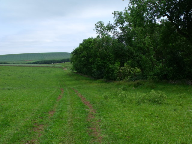
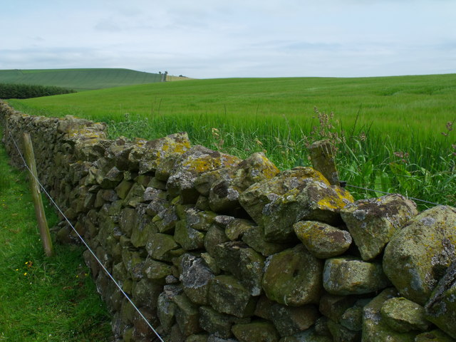
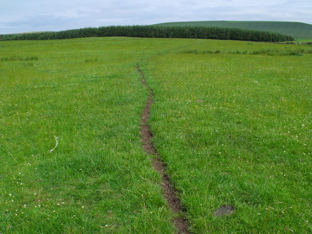
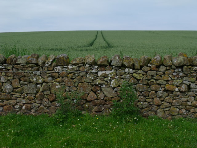
Hexpathdean Plantation is a picturesque woodland located in the county of Berwickshire, in the southeastern part of Scotland. Covering a vast area of approximately 500 acres, it is known for its abundant natural beauty and diverse ecological features.

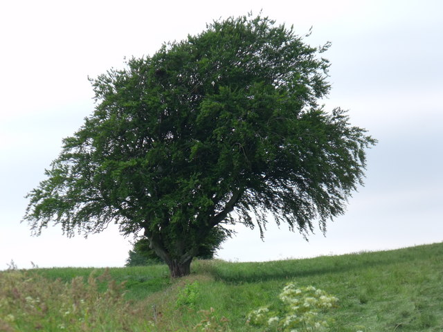
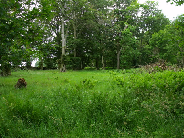
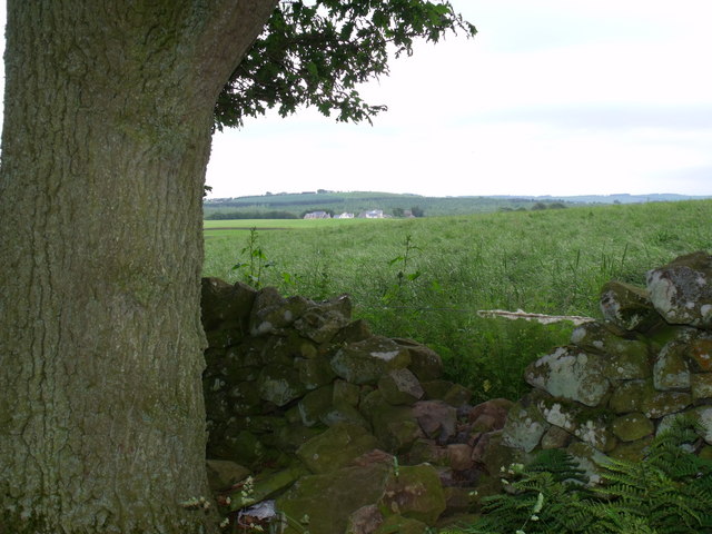
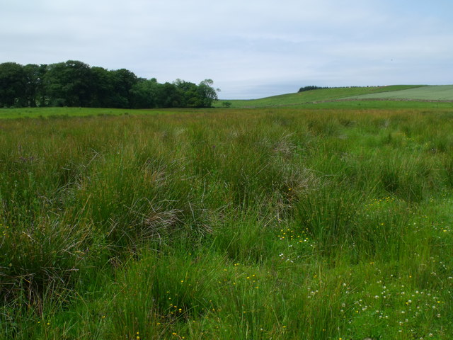
The plantation is predominantly composed of a mixed deciduous forest, with a variety of tree species such as oak, beech, birch, and ash dominating the landscape. The forest floor is adorned with a carpet of lush ferns, wildflowers, and mosses, creating a captivating display of colors throughout the year.

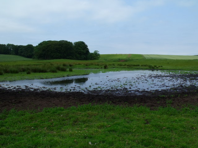
Hexpathdean Plantation is a haven for wildlife enthusiasts, as it provides a habitat for a wide range of animal species. Red squirrels, badgers, and brown hares are commonly spotted within the woodland, while birdwatchers may catch a glimpse of woodpeckers, owls, and various species of songbirds.

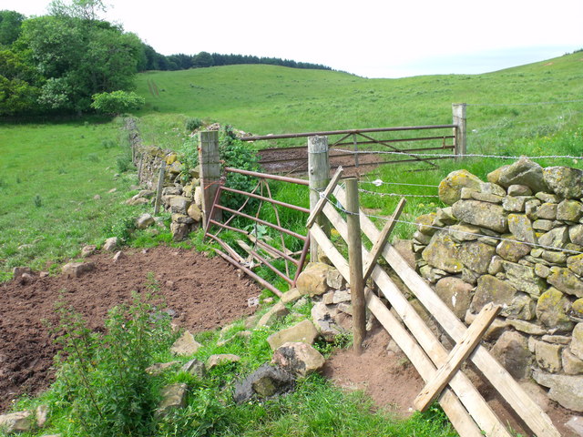
The plantation also features a network of well-maintained walking trails, allowing visitors to explore its natural wonders at their own pace. These trails wind through the forest, offering breathtaking views of the surrounding countryside and opportunities for peaceful reflection.

Hexpathdean Plantation is not only a beautiful natural attraction but also plays an important role in the conservation of local biodiversity. Its management practices prioritize sustainable forestry, ensuring the long-term health and vitality of the woodland ecosystem.

Overall, Hexpathdean Plantation is a remarkable destination for nature lovers, offering a serene escape from the hustle and bustle of everyday life.

If you have any feedback on the listing, please let us know in the comments section below.

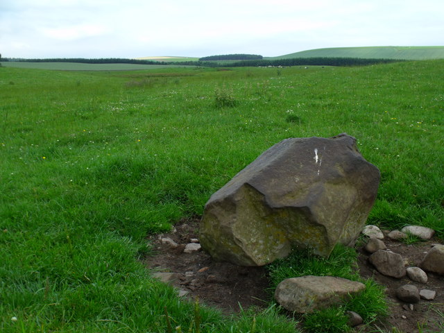
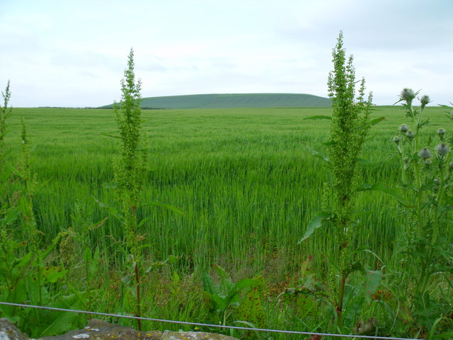
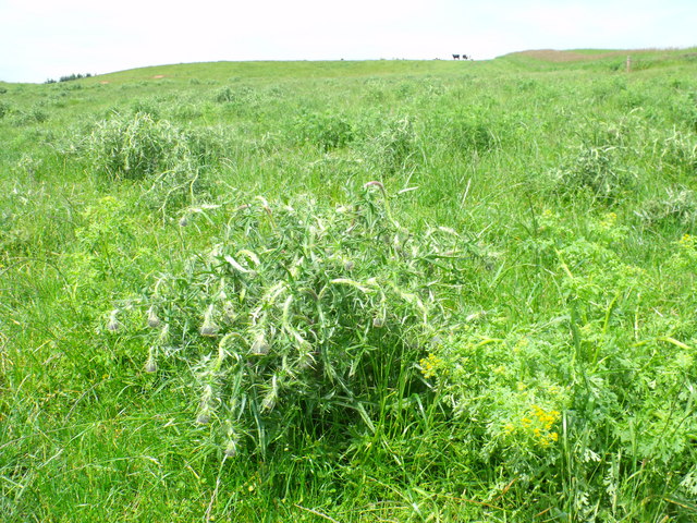
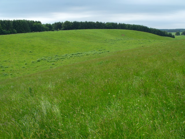
Hexpathdean Plantation Images

Images are sourced within 2km of 55.715215/-2.5456136 or Grid Reference NT6547. Thanks to Geograph Open Source API. All images are credited.

Mature beech on fenceline south of Fairnybeds Wood This time in its summer garb!
Mature beech on fenceline south of Fairnybeds Wood
This time in its summer garb!
Is this anither yin o' thae Geographers Jessie? Herd of cows in occupation of point 191 seeking the breeze.
Is this anither yin o' thae Geographers Jessie?
Herd of cows in occupation of point 191 seeking the breeze.
Beechy clearing in Fairnybeds Wood near Macks Mill
Break in dyke bounding Fairnybeds Wood north of Macks Mill This may have originated as a route for wild animals such as deer but the wool on the single strand of wire shows that sheep have been the main traffic recently.
Break in dyke bounding Fairnybeds Wood north of Macks Mill
This may have originated as a route for wild animals such as deer but the wool on the single strand of wire shows that sheep have been the main traffic recently.
Pool in drainage system north of Macks Mill Looking uncommonly like the standard JCB manufactured duck pond seen on so many properties for the more efficient slaughter of wild fowl this one has actually been created by cattle fore-footing into the mud for a drink.
Pool in drainage system north of Macks Mill
Looking uncommonly like the standard JCB manufactured duck pond seen on so many properties for the more efficient slaughter of wild fowl this one has actually been created by cattle fore-footing into the mud for a drink.
A right hard stane south-east of Fairnybeds Wood Shining as if it has been used as a rubbing-post for a century or two and then as a bird-perch in the last month.
A right hard stane south-east of Fairnybeds Wood
Shining as if it has been used as a rubbing-post for a century or two and then as a bird-perch in the last month.
Sea of cereal east of Rumbleton Law  The safest place for the emblem - on the periphery amongst the other weeds?
Sea of cereal east of Rumbleton Law
The safest place for the emblem - on the periphery amongst the other weeds?
The national emblem in a sorry state National pride is one thing but beef can't eat thistles. These ones have been touched with poison.
The national emblem in a sorry state
National pride is one thing but beef can't eat thistles. These ones have been touched with poison.
Boggy ground east of Fairnybeds Wood
Saddle between point 191 and Fairnybeds Wood Looking towards Shining Pool though I do not know what that feature is - probably not a pool judging by the contours.
Saddle between point 191 and Fairnybeds Wood
Looking towards Shining Pool though I do not know what that feature is - probably not a pool judging by the contours.
Farm track on north side of Fairnybeds Wood
Drystane dyke swamped by barley crop
Cow path on meadowland north of Macks Mill
Boggy drainage line east of Fairnybeds Wood
Boggy farmland north of Macks Mill This random pattern of rocks looks like an attempt to hard-bottom the ground to allow tractors to get through.
Boggy farmland north of Macks Mill
This random pattern of rocks looks like an attempt to hard-bottom the ground to allow tractors to get through.
Drystane dyke north of Macks Mill With some rock types a baby could build a dyke but this has the touch of a master - sadly anonymous and forgotten.
Drystane dyke north of Macks Mill
With some rock types a baby could build a dyke but this has the touch of a master - sadly anonymous and forgotten.
Pond south-east of Fairnybeds Wood near Fawside No pond is marked on the map so maybe this is a seasonal feature.
Pond south-east of Fairnybeds Wood near Fawside
No pond is marked on the map so maybe this is a seasonal feature.
Three-way gateway north of Macks Mill
Show me another place!

Hexpathdean Plantation is located at Grid Ref: NT6547 (Lat: 55.715215, Lng: -2.5456136)

Unitary Authority: The Scottish Borders

Police Authority: The Lothians and Scottish Borders

What 3 Words

///different.fingertip.explorer. Near Earlston, Scottish Borders

Nearby Locations

Hexpathdean Plantation

Related Wikis

Houndslow

Houndslow is a hamlet in the Scottish Borders area of Scotland. It is situated on the A697, about 5 miles (8.0 km) west of Greenlaw, and 3 miles (4.8 km...

Bassendean, Scottish Borders

Bassendean is a village in the Scottish Borders area of Scotland, 4 kilometres (2.5 mi) south of Westruther and 3 kilometres (1.9 mi) north-west of Gordon...

Gordon (NBR) railway station

Gordon railway station served the village of Gordon, Scottish Borders, Scotland from 1863 to 1948 on the Berwickshire Railway. == History == The station...

Blackcastle Rings

The Blackcastle Rings are earthworks and a promontory fort in the Parish of Greenlaw, above the left bank of the Blackadder Water, in the Scottish Borders...

Westruther

Westruther is a village on the B6465, in the Scottish Borders area of Scotland, on the lower slopes of the Lammermuir Hills, in the former Berwickshire...

Greenlaw Moor

Greenlaw Moor is an area of raised heather moorland in the foothills of the Lammermuir Hills, in the Scottish Borders area of Scotland. Located north of...

Gordon, Scottish Borders

Gordon is a village in the Scottish Borders area of Scotland, within the historic county of Berwickshire. The village sits on the crossroads of the A6105...

Blackadder Water

Blackadder Water () is a river in Berwickshire in the Scottish Borders area of Scotland, forming part of the River Tweed system. It reached 2.84m at Mouthbridge...

Nearby Amenities

Located within 500m of 55.715215,-2.5456136
Barrier: bollard
Bicycle: yes
Foot: yes
Horse: yes
Lat/Long: 55.7147025/-2.5472513
Ele: 223
Natural: peak
Lat/Long: 55.7156001/-2.5381992
Power: pole
Lat/Long: 55.7177275/-2.5390992
Power: pole
Lat/Long: 55.7170473/-2.5385527
Power: pole
Lat/Long: 55.7164129/-2.5384459
Power: pole
Lat/Long: 55.7157857/-2.5383163
Power: pole
Lat/Long: 55.7151299/-2.5382248
The data included in this document is from www.openstreetmap.org. The data is made available under ODbL.

Have you been to Hexpathdean Plantation?

Leave your review of Hexpathdean Plantation below (or comments, questions and feedback).