Long Plantation
Wood, Forest in Kirkcudbrightshire
Scotland
Long Plantation

The requested URL returned error: 429 Too Many Requests
If you have any feedback on the listing, please let us know in the comments section below.
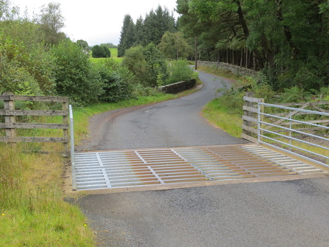
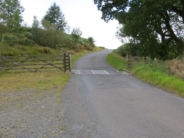
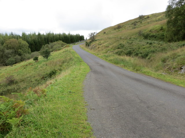
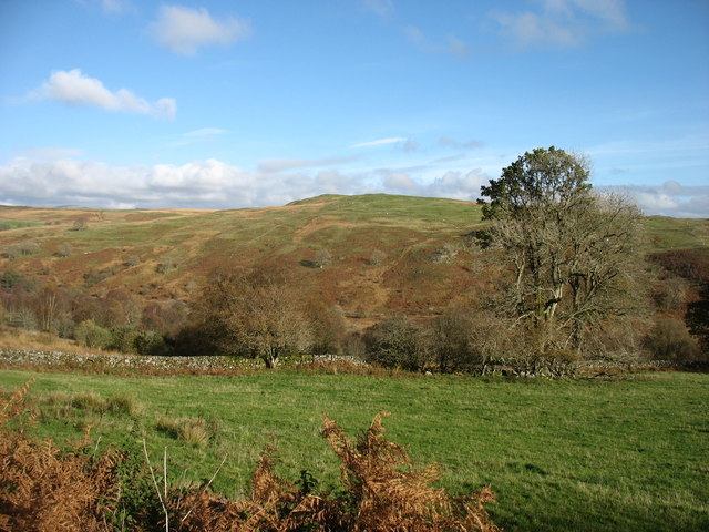
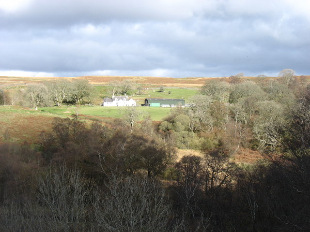
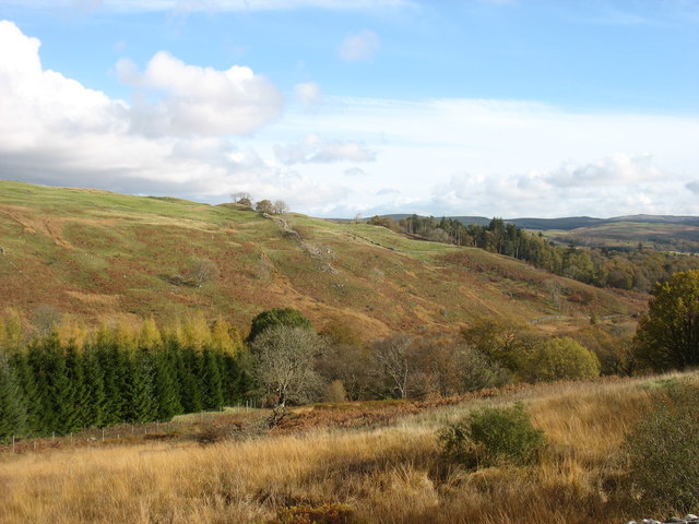
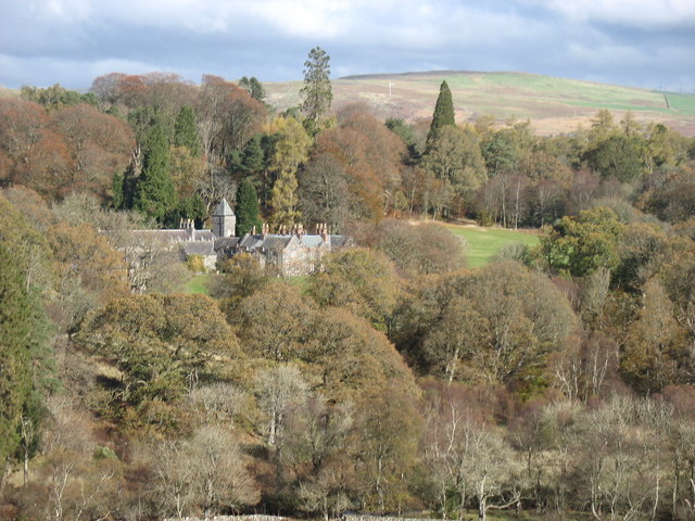
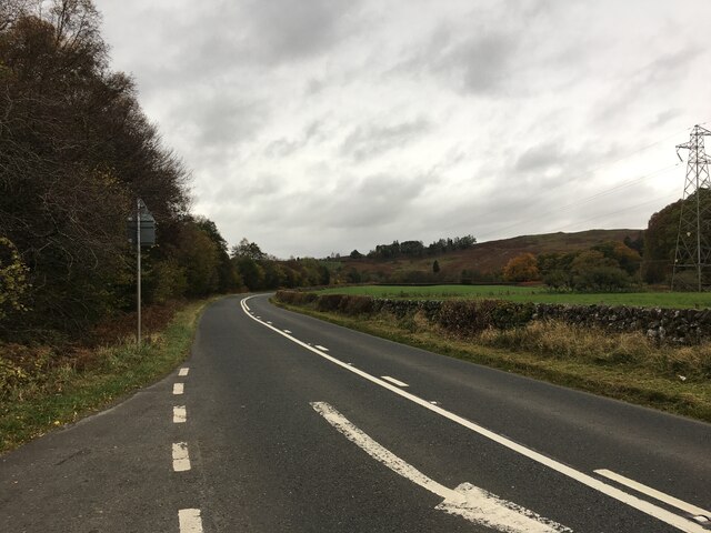
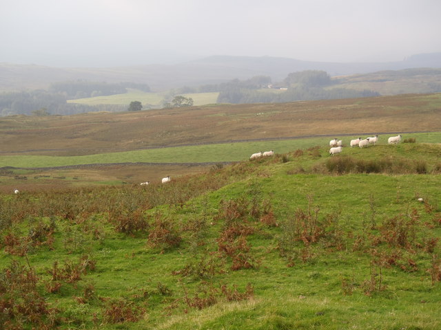
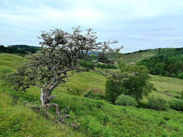
Long Plantation Images
Images are sourced within 2km of 55.131895/-4.2189998 or Grid Reference NX5884. Thanks to Geograph Open Source API. All images are credited.


Long Plantation is located at Grid Ref: NX5884 (Lat: 55.131895, Lng: -4.2189998)
Unitary Authority: Dumfries and Galloway
Police Authority: Dumfries and Galloway
What 3 Words
///rosette.interests.reefs. Near Bellsbank, East Ayrshire
Nearby Locations
Related Wikis

Waukers Linn
Waukers Linn is a waterfall on Polharrow Burn in Dumfries and Galloway, Scotland. == See also == Waterfalls of Scotland == References ==

Polharrow Burn
Polharrow Burn is a small watercourse in Dumfries and Galloway, Scotland, in the historic county of Kirkcudbrightshire. It rises in Loch Harrow and flows...

Earlstoun Castle
Earlstoun Castle, sometimes spelled Earlston Castle, is a derelict tower house near St John's Town of Dalry in Dumfries and Galloway, Scotland. Built in...

St John's Town of Dalry
St John's Town of Dalry (Scottish Gaelic: Clachan Eòin), usually referred to simply as Dalry (/dæl'raɪ/ / 'dal-RYE'), is a village in Dumfries and Galloway...
Nearby Amenities
Located within 500m of 55.131895,-4.2189998Have you been to Long Plantation?
Leave your review of Long Plantation below (or comments, questions and feedback).