Croachie Plantation
Wood, Forest in Kirkcudbrightshire
Scotland
Croachie Plantation

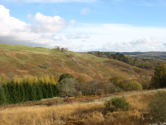
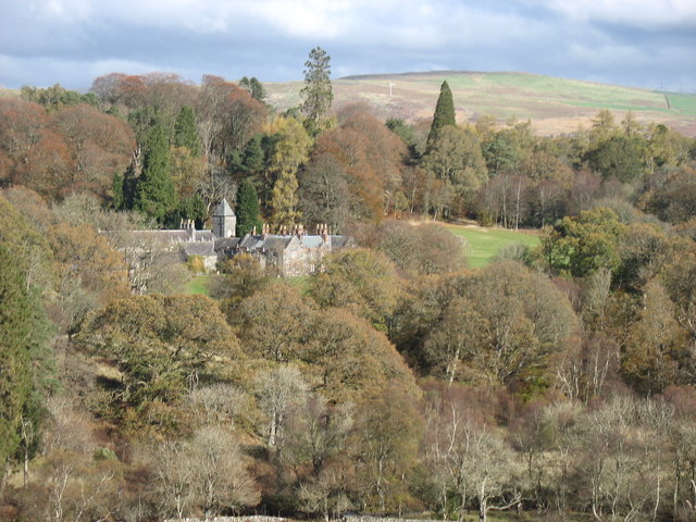
Croachie Plantation is a sprawling woodland located in Kirkcudbrightshire, Scotland. Covering an extensive area of land, the plantation is known for its rich and diverse ecosystem, making it a haven for wildlife and nature enthusiasts.
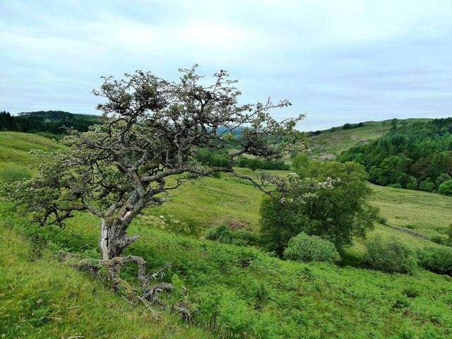
The plantation is predominantly made up of native tree species such as oak, birch, and beech, creating a picturesque landscape of towering trees and dense undergrowth. These trees provide a habitat for a wide range of bird species, including woodpeckers, owls, and various songbirds, making it a popular spot for birdwatching.
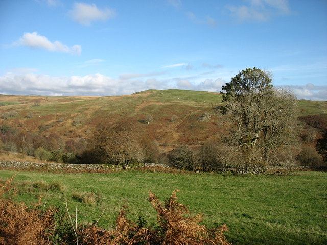
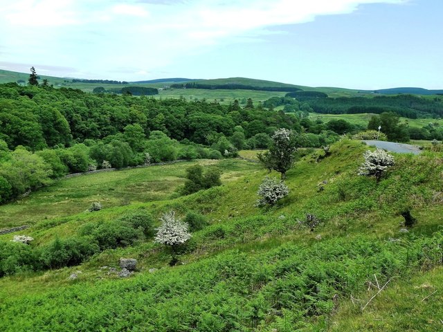
The woodland floor is carpeted with a variety of plants and wildflowers, adding to the plantation's natural beauty. Bluebells, foxgloves, and ferns are among the many species that can be found here, creating a stunning display of colors during the spring and summer months.
Croachie Plantation is also home to a diverse array of wildlife. Red squirrels, roe deer, and badgers can frequently be spotted roaming the woodland, while elusive creatures such as pine martens and wildcats are occasionally sighted by lucky visitors.
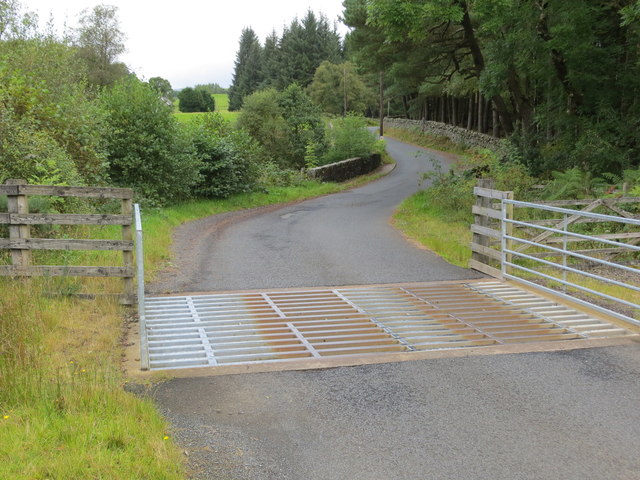
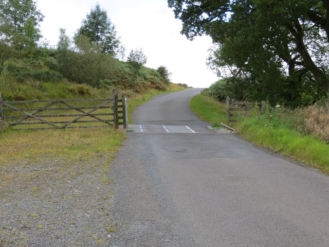
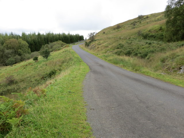
The plantation offers numerous walking trails and paths, allowing visitors to explore the woodland at their own pace. These trails provide opportunities for peaceful walks, picnics, and photography, with breathtaking views of the surrounding countryside.
Croachie Plantation is not only a sanctuary for wildlife but also an important site for conservation. Efforts are made to preserve the natural habitats and protect the delicate ecosystem, ensuring that future generations can continue to enjoy the beauty and tranquility of this enchanting woodland.
If you have any feedback on the listing, please let us know in the comments section below.
Croachie Plantation Images
Images are sourced within 2km of 55.130495/-4.2218399 or Grid Reference NX5884. Thanks to Geograph Open Source API. All images are credited.


Croachie Plantation is located at Grid Ref: NX5884 (Lat: 55.130495, Lng: -4.2218399)
Unitary Authority: Dumfries and Galloway
Police Authority: Dumfries and Galloway
What 3 Words
///offline.mango.testers. Near Bellsbank, East Ayrshire
Nearby Locations
Related Wikis

Waukers Linn
Waukers Linn is a waterfall on Polharrow Burn in Dumfries and Galloway, Scotland. == See also == Waterfalls of Scotland == References ==

Polharrow Burn
Polharrow Burn is a small watercourse in Dumfries and Galloway, Scotland, in the historic county of Kirkcudbrightshire. It rises in Loch Harrow and flows...

Earlstoun Castle
Earlstoun Castle, sometimes spelled Earlston Castle, is a derelict tower house near St John's Town of Dalry in Dumfries and Galloway, Scotland. Built in...

St John's Town of Dalry
St John's Town of Dalry (Scottish Gaelic: Clachan Eòin), usually referred to simply as Dalry (/dæl'raɪ/ / 'dal-RYE'), is a village in Dumfries and Galloway...

Kells, Dumfries and Galloway
Kells parish, in the Stewartry of Kirkcudbright in Scotland, is located 14 miles (NWbN) from Castle-Douglas, and 19 miles (NbW) from Kirkcudbright. It...

Lochinvar
Lochinvar (or Lan Var) is a loch in the civil parish of Dalry in the historic county of Kirkcudbrightshire, Dumfries and Galloway Scotland. It is located...

Ken Bridge
The Ken Bridge is a road bridge about 0.8 kilometres (0.5 mi) north east of New Galloway in Dumfries and Galloway, Scotland, which carries the A712 road...

Clatteringshaws Loch
Clatteringshaws Loch is a freshwater reservoir in the historical county of The Stewartry of Kirkcudbright in Dumfries and Galloway, Scotland. It was created...
Nearby Amenities
Located within 500m of 55.130495,-4.2218399Have you been to Croachie Plantation?
Leave your review of Croachie Plantation below (or comments, questions and feedback).