Goldthorp Knowe
Hill, Mountain in Kirkcudbrightshire
Scotland
Goldthorp Knowe
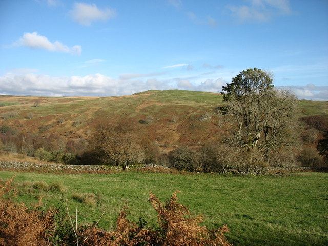
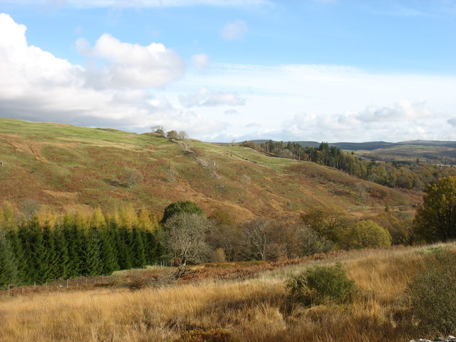
Goldthorp Knowe is a prominent hill located in the picturesque region of Kirkcudbrightshire in southwest Scotland. Situated near the village of Gatehouse of Fleet, it forms part of the Galloway Hills, which are renowned for their natural beauty and rich history.
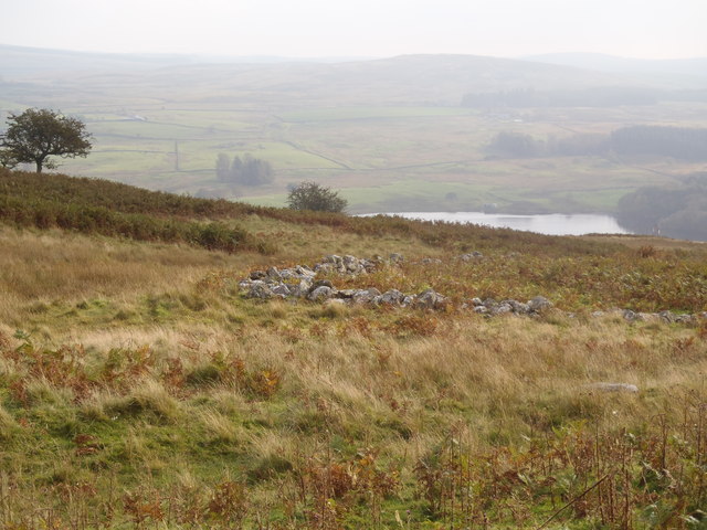
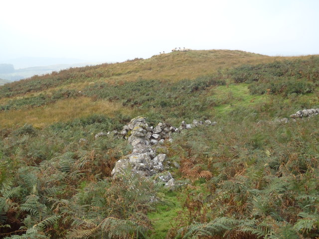
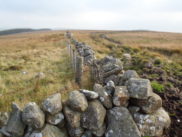
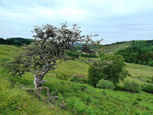
Rising to an elevation of approximately 280 meters (918 feet), Goldthorp Knowe offers breathtaking panoramic views of the surrounding countryside. Its distinctive conical shape and lush vegetation make it a popular destination for outdoor enthusiasts, hikers, and nature lovers. The hill is adorned with a variety of trees, including oak, birch, and pine, which add to its scenic charm.
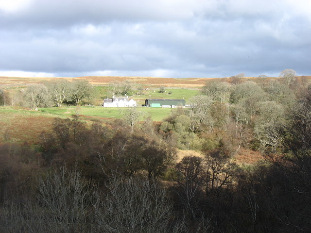
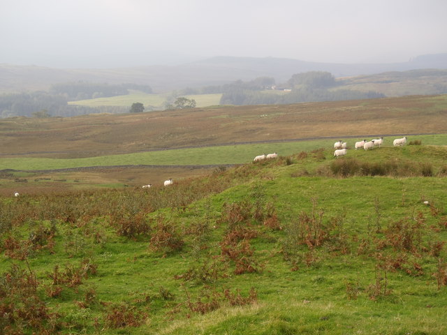
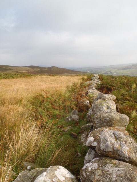
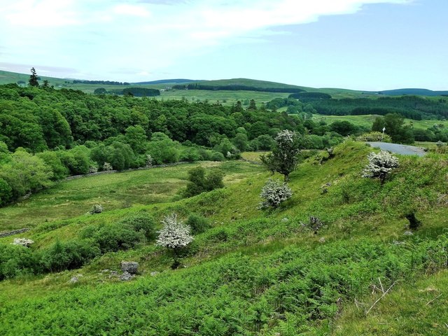
Goldthorp Knowe is home to a diverse range of flora and fauna, providing a habitat for numerous species of birds, mammals, and insects. The surrounding area is also known for its archaeological significance, with several ancient sites and monuments scattered throughout the landscape.
Accessible via well-maintained footpaths, Goldthorp Knowe offers a range of walking routes suitable for all abilities. The ascent to the summit is relatively gentle, providing a pleasant and rewarding experience for visitors. At the top, one can enjoy breathtaking views of the rolling hills, verdant valleys, and shimmering lochs that define this enchanting region of Scotland.
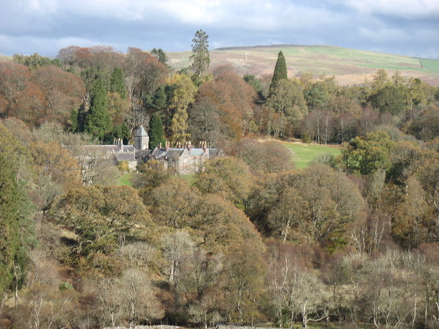
Goldthorp Knowe is a hidden gem in Kirkcudbrightshire, offering visitors the opportunity to connect with nature and immerse themselves in the beauty of the Scottish countryside. Whether it is a leisurely stroll or a more challenging hike, this hill is a must-visit destination for those seeking tranquility and natural splendor.
If you have any feedback on the listing, please let us know in the comments section below.
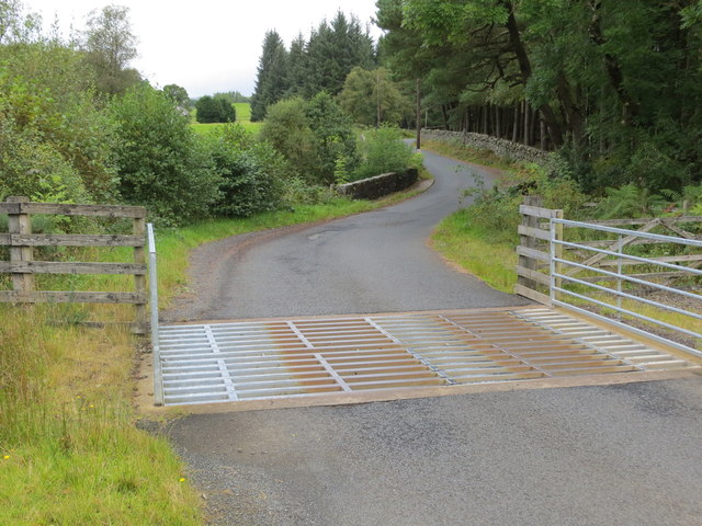
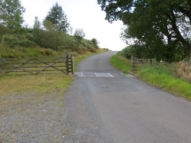
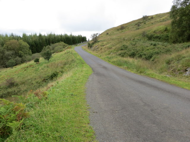
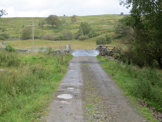
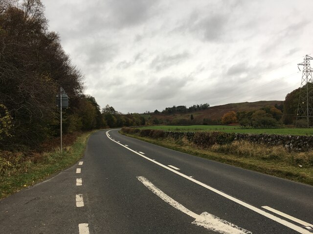
Goldthorp Knowe Images
Images are sourced within 2km of 55.138672/-4.2150768 or Grid Reference NX5884. Thanks to Geograph Open Source API. All images are credited.

Goldthorp Knowe is located at Grid Ref: NX5884 (Lat: 55.138672, Lng: -4.2150768)
Unitary Authority: Dumfries and Galloway
Police Authority: Dumfries and Galloway
What 3 Words
///lashed.slurping.notices. Near Bellsbank, East Ayrshire
Nearby Locations
Related Wikis

Waukers Linn
Waukers Linn is a waterfall on Polharrow Burn in Dumfries and Galloway, Scotland. == See also == Waterfalls of Scotland == References ==

Polharrow Burn
Polharrow Burn is a small watercourse in Dumfries and Galloway, Scotland, in the historic county of Kirkcudbrightshire. It rises in Loch Harrow and flows...

Earlstoun Castle
Earlstoun Castle, sometimes spelled Earlston Castle, is a derelict tower house near St John's Town of Dalry in Dumfries and Galloway, Scotland. Built in...

St John's Town of Dalry
St John's Town of Dalry (Scottish Gaelic: Clachan Eòin), usually referred to simply as Dalry (/dæl'raɪ/ / 'dal-RYE'), is a village in Dumfries and Galloway...

Lochinvar
Lochinvar (or Lan Var) is a loch in the civil parish of Dalry in the historic county of Kirkcudbrightshire, Dumfries and Galloway Scotland. It is located...

Kells, Dumfries and Galloway
Kells parish, in the Stewartry of Kirkcudbright in Scotland, is located 14 miles (NWbN) from Castle-Douglas, and 19 miles (NbW) from Kirkcudbright. It...

Barscobe Castle
Barscobe Castle is a 17th-century tower house in Balmaclellan, Kirkcudbrightshire, Scotland. It is a typical house of a country laird, and according to...

Ken Bridge
The Ken Bridge is a road bridge about 0.8 kilometres (0.5 mi) north east of New Galloway in Dumfries and Galloway, Scotland, which carries the A712 road...
Nearby Amenities
Located within 500m of 55.138672,-4.2150768Have you been to Goldthorp Knowe?
Leave your review of Goldthorp Knowe below (or comments, questions and feedback).