Croachie Moss
Downs, Moorland in Kirkcudbrightshire
Scotland
Croachie Moss

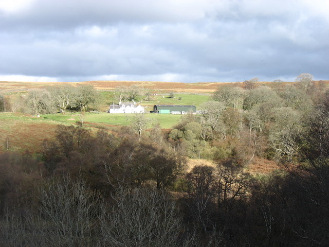
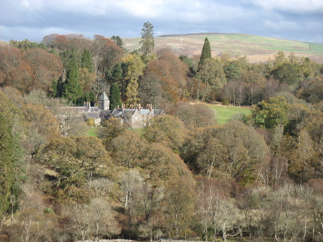
Croachie Moss is a vast expanse of moorland located in Kirkcudbrightshire, Scotland. Enveloped by the picturesque landscape of the Scottish countryside, it spans across an impressive area and offers a unique natural habitat to a variety of flora and fauna.
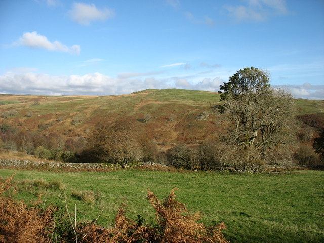
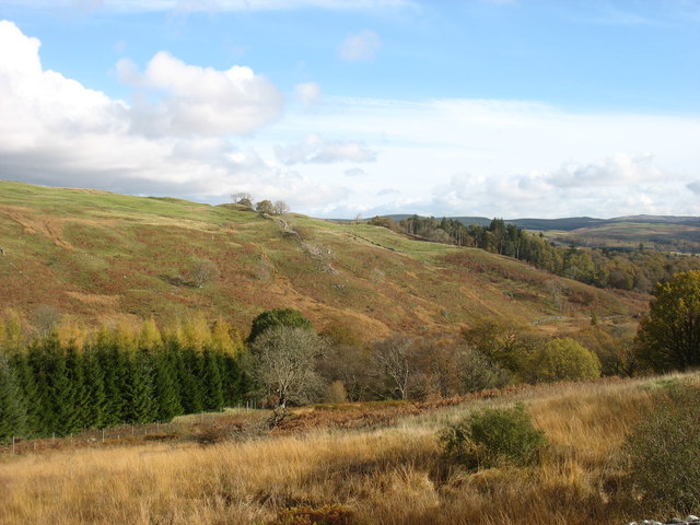
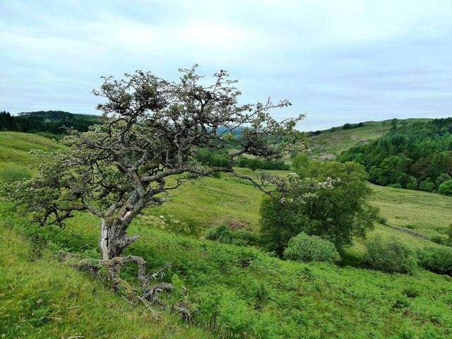
With its distinctive terrain and topography, Croachie Moss is predominantly characterized by its undulating downs and expansive moorland. The moss is adorned with a patchwork of heather, grasses, and bog cotton, creating a stunning tapestry of colors that change with the seasons. In the summer months, the vibrant purples and pinks of blooming heather contrast beautifully with the lush greenery, while in winter, a blanket of frost or snow transforms the landscape into a winter wonderland.
The moss is also home to a diverse range of wildlife, attracting nature enthusiasts and bird watchers alike. The open moorland provides a perfect habitat for various bird species, including curlews, lapwings, and merlins, which can be spotted soaring in the skies or nestled in the heather. The area is also known for its rare plant species, such as the bog rosemary and sundew, adding to its ecological significance.
Croachie Moss is a popular destination for hikers, walkers, and nature enthusiasts, who can explore the network of trails that crisscross the area. The breathtaking views from the higher points of the downs offer a panoramic vista of the surrounding countryside, including the nearby hills and Loch Ken.
Overall, Croachie Moss is a natural gem in Kirkcudbrightshire, offering a tranquil escape into the beauty of the Scottish moorland and providing a haven for both wildlife and outdoor enthusiasts.
If you have any feedback on the listing, please let us know in the comments section below.
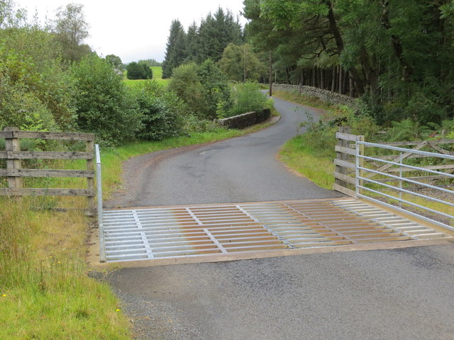
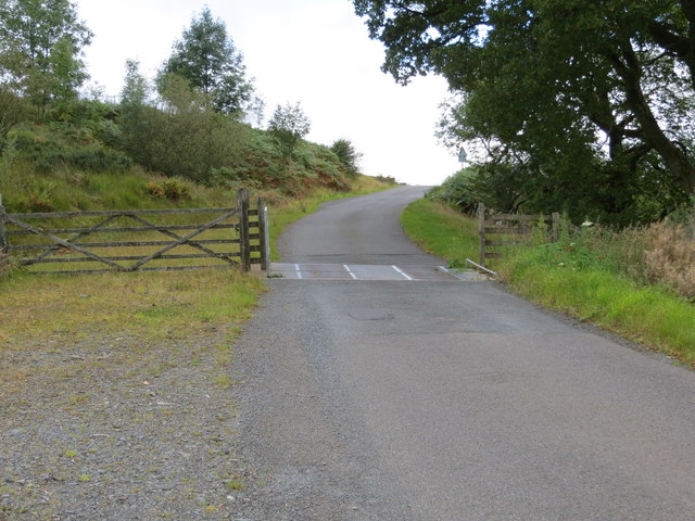
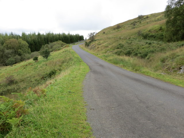
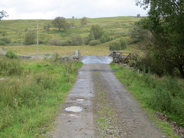
Croachie Moss Images
Images are sourced within 2km of 55.131097/-4.2243363 or Grid Reference NX5884. Thanks to Geograph Open Source API. All images are credited.


Croachie Moss is located at Grid Ref: NX5884 (Lat: 55.131097, Lng: -4.2243363)
Unitary Authority: Dumfries and Galloway
Police Authority: Dumfries and Galloway
What 3 Words
///media.indicated.occupations. Near Bellsbank, East Ayrshire
Nearby Locations
Related Wikis

Waukers Linn
Waukers Linn is a waterfall on Polharrow Burn in Dumfries and Galloway, Scotland. == See also == Waterfalls of Scotland == References ==

Polharrow Burn
Polharrow Burn is a small watercourse in Dumfries and Galloway, Scotland, in the historic county of Kirkcudbrightshire. It rises in Loch Harrow and flows...

Earlstoun Castle
Earlstoun Castle, sometimes spelled Earlston Castle, is a derelict tower house near St John's Town of Dalry in Dumfries and Galloway, Scotland. Built in...

St John's Town of Dalry
St John's Town of Dalry (Scottish Gaelic: Clachan Eòin), usually referred to simply as Dalry (/dæl'raɪ/ / 'dal-RYE'), is a village in Dumfries and Galloway...

Kells, Dumfries and Galloway
Kells parish, in the Stewartry of Kirkcudbright in Scotland, is located 14 miles (NWbN) from Castle-Douglas, and 19 miles (NbW) from Kirkcudbright. It...

Lochinvar
Lochinvar (or Lan Var) is a loch in the civil parish of Dalry in the historic county of Kirkcudbrightshire, Dumfries and Galloway Scotland. It is located...

Ken Bridge
The Ken Bridge is a road bridge about 0.8 kilometres (0.5 mi) north east of New Galloway in Dumfries and Galloway, Scotland, which carries the A712 road...

Clatteringshaws Loch
Clatteringshaws Loch is a freshwater reservoir in the historical county of The Stewartry of Kirkcudbright in Dumfries and Galloway, Scotland. It was created...
Nearby Amenities
Located within 500m of 55.131097,-4.2243363Have you been to Croachie Moss?
Leave your review of Croachie Moss below (or comments, questions and feedback).