Woodhall
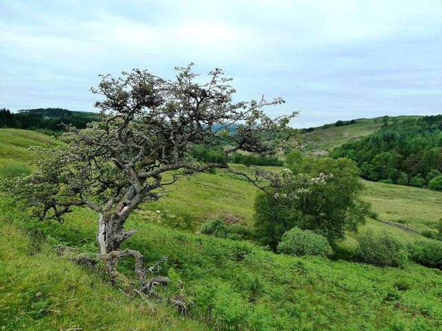
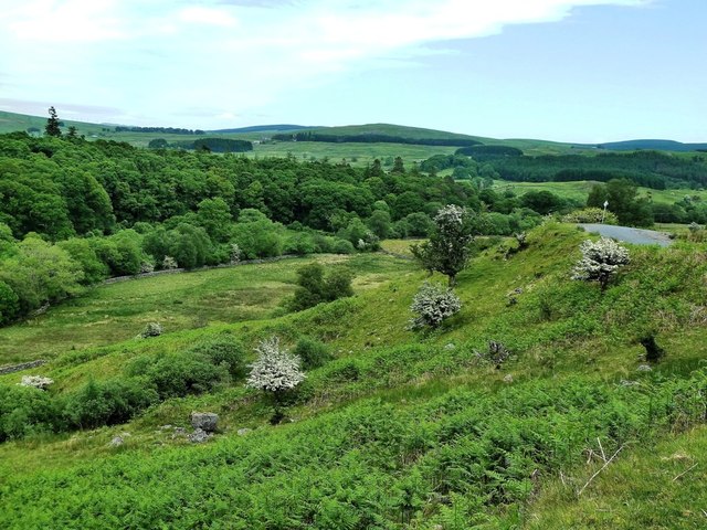
Downs, Moorland in Kirkcudbrightshire
Scotland
Woodhall
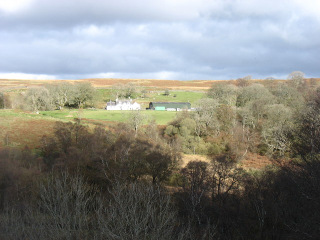
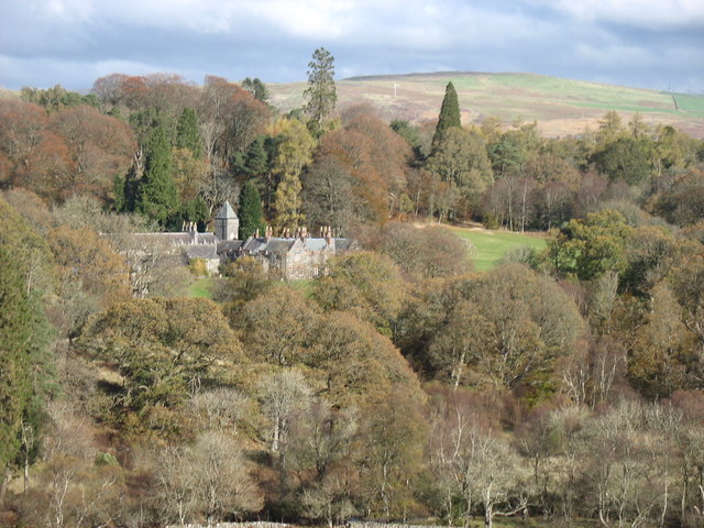
Woodhall is a picturesque village located in Kirkcudbrightshire, a historical county in southwestern Scotland. Situated amidst rolling hills and moorland, it offers stunning views of the surrounding countryside. The village is nestled in a valley, surrounded by dense woodlands, giving it a secluded and tranquil atmosphere.
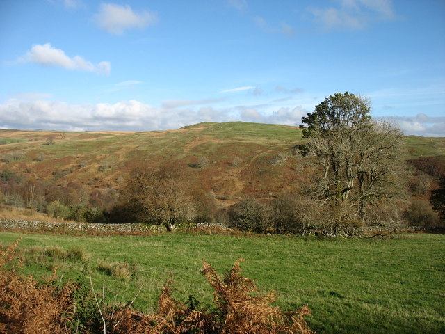
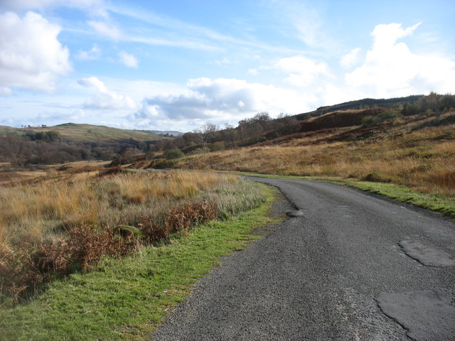
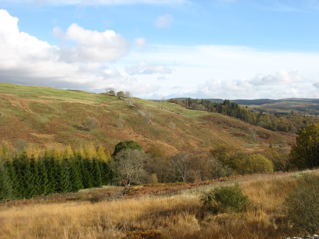
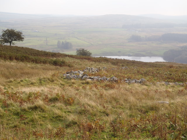
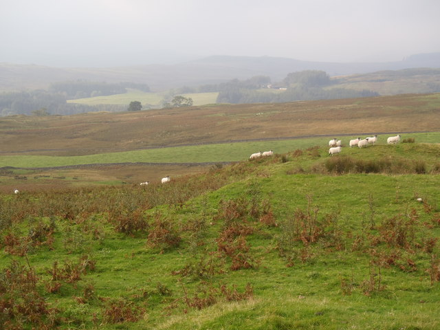
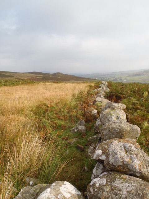
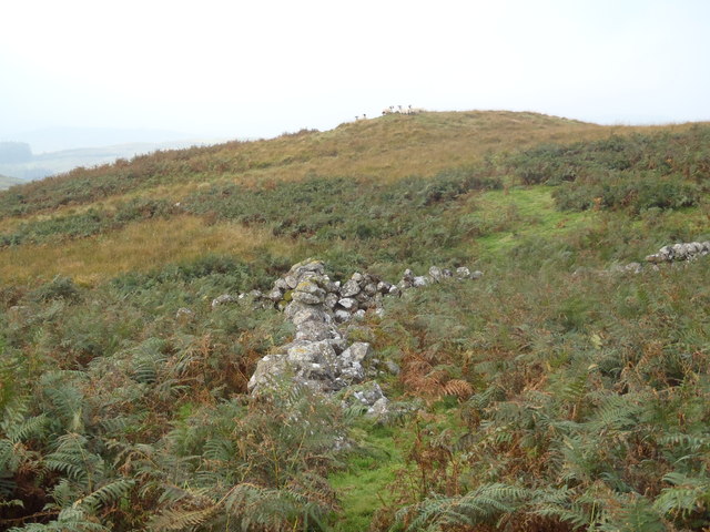
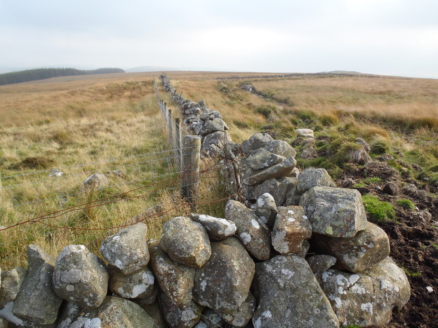
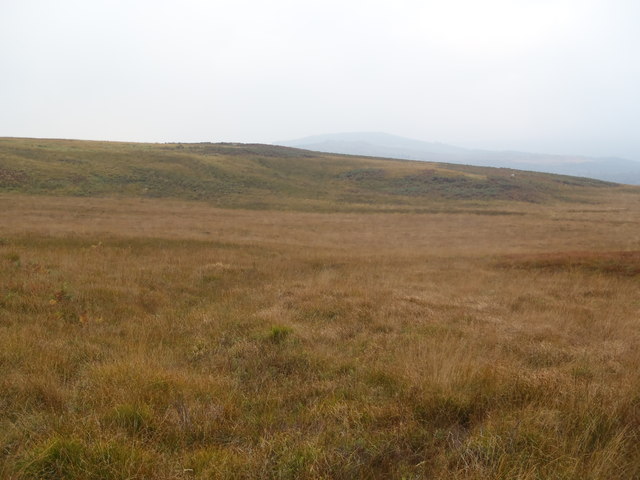
The landscape of Woodhall is characterized by its undulating downs and moorland, which provide excellent opportunities for outdoor activities such as hiking, birdwatching, and picnicking. The downs are covered in lush green grass, dotted with wildflowers during the summer months, while the moorland is dominated by heather and gorse, providing a colorful spectacle in late summer.
The village itself is small but charming, with traditional stone cottages and well-maintained gardens. The local community takes great pride in preserving the village's historic character, and many of the buildings date back several centuries. The heart of the village is centered around a quaint square, which serves as a gathering place for residents and visitors alike.
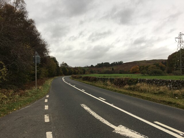
Woodhall is known for its warm and welcoming community, with locals often organizing events and activities for everyone to enjoy. The village has a small but well-stocked general store, providing essential groceries and supplies for residents. For more extensive shopping and amenities, the nearby town of Kirkcudbright is easily accessible.
Overall, Woodhall in Kirkcudbrightshire is a hidden gem, offering a peaceful retreat in the midst of Scotland's natural beauty. It is a place where one can escape the hustle and bustle of modern life, and immerse oneself in the serenity of the countryside.
If you have any feedback on the listing, please let us know in the comments section below.
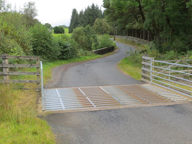
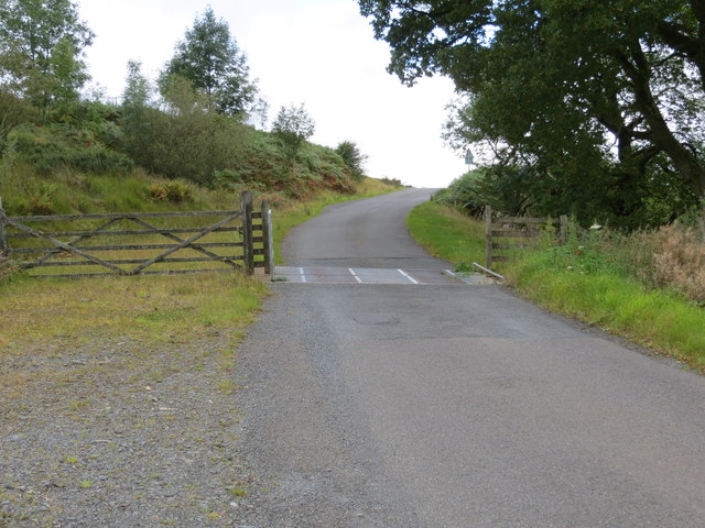
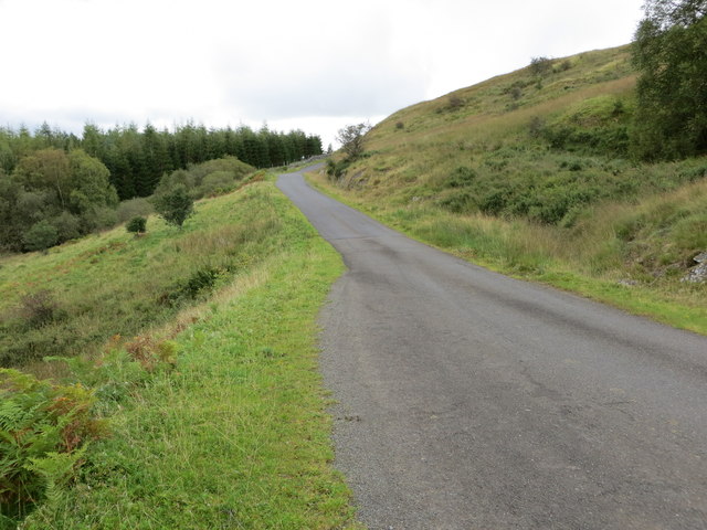
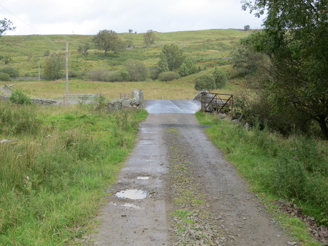
Woodhall Images
Images are sourced within 2km of 55.138167/-4.219599 or Grid Reference NX5884. Thanks to Geograph Open Source API. All images are credited.
Woodhall is located at Grid Ref: NX5884 (Lat: 55.138167, Lng: -4.219599)
Unitary Authority: Dumfries and Galloway
Police Authority: Dumfries and Galloway
What 3 Words
///cuddled.practical.misfits. Near Bellsbank, East Ayrshire
Nearby Locations
Related Wikis

Waukers Linn
Waukers Linn is a waterfall on Polharrow Burn in Dumfries and Galloway, Scotland. == See also == Waterfalls of Scotland == References ==

Polharrow Burn
Polharrow Burn is a small watercourse in Dumfries and Galloway, Scotland, in the historic county of Kirkcudbrightshire. It rises in Loch Harrow and flows...

Earlstoun Castle
Earlstoun Castle, sometimes spelled Earlston Castle, is a derelict tower house near St John's Town of Dalry in Dumfries and Galloway, Scotland. Built in...

St John's Town of Dalry
St John's Town of Dalry (Scottish Gaelic: Clachan Eòin), usually referred to simply as Dalry (/dæl'raɪ/ / 'dal-RYE'), is a village in Dumfries and Galloway...
Nearby Amenities
Located within 500m of 55.138167,-4.219599Have you been to Woodhall?
Leave your review of Woodhall below (or comments, questions and feedback).