Roborough Moor
Downs, Moorland in Devon Torridge
England
Roborough Moor

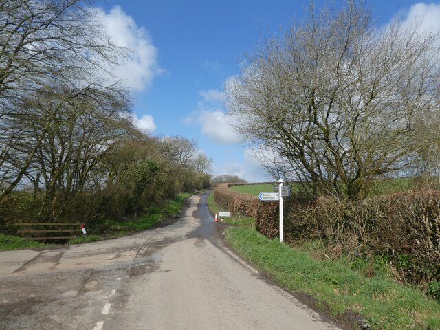
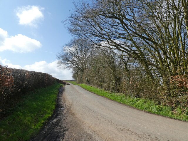
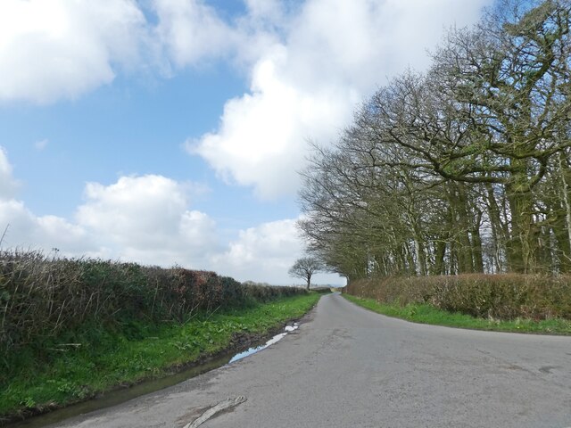
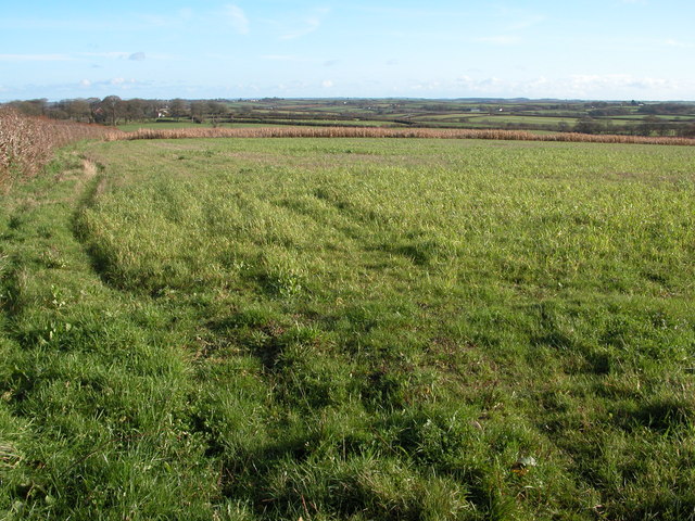
Roborough Moor is a vast expanse of open moorland located in Devon, England. It is situated on the western edge of Dartmoor National Park and covers an area of approximately 1,000 hectares. The moor is characterized by rolling hills, rocky outcrops, and patches of heather and gorse.
The landscape of Roborough Moor is predominantly made up of rough grassland interspersed with areas of bracken and scrub. The moor is home to a variety of wildlife, including birds such as skylarks, stonechats, and meadow pipits, as well as mammals like rabbits, foxes, and deer.
Roborough Moor is a popular destination for walkers, hikers, and nature enthusiasts, who come to explore its rugged terrain and enjoy the stunning views of the surrounding countryside. The moor is crisscrossed by a network of footpaths and bridleways, making it easy for visitors to navigate the area and discover its hidden treasures.
Overall, Roborough Moor is a unique and beautiful landscape that offers a peaceful retreat from the hustle and bustle of everyday life. Its wild and untamed beauty makes it a truly special place to visit in Devon.
If you have any feedback on the listing, please let us know in the comments section below.
Roborough Moor Images
Images are sourced within 2km of 50.921435/-4.0128491 or Grid Reference SS5815. Thanks to Geograph Open Source API. All images are credited.


Roborough Moor is located at Grid Ref: SS5815 (Lat: 50.921435, Lng: -4.0128491)
Administrative County: Devon
District: Torridge
Police Authority: Devon and Cornwall
What 3 Words
///interview.blotches.stammer. Near Winkleigh, Devon
Nearby Locations
Related Wikis

Eaglescott Airfield
Eaglescott Airfield (ICAO: EGHU) is located in Burrington, 6 nautical miles (11 km; 6.9 mi) east southeast of Great Torrington, in Devon, England. It is...

Roborough, Torridge
Roborough is a village and civil parish 5.5 mi (8.9 km) from Great Torrington, in Devon, England. Situated topographically on the plateau between the Torridge...

Beaford
Beaford is a village and civil parish in the Torridge district of Devon, England. The village is about five miles south-east of Great Torrington, on the...

Stafford, Dolton
Stafford (anciently Stowford) is an historic manor in the parish of Dolton in Devon, England. The present manor house known as Stafford Barton is a grade...
Nearby Amenities
Located within 500m of 50.921435,-4.0128491Have you been to Roborough Moor?
Leave your review of Roborough Moor below (or comments, questions and feedback).