Stranfasket Wood
Wood, Forest in Kirkcudbrightshire
Scotland
Stranfasket Wood
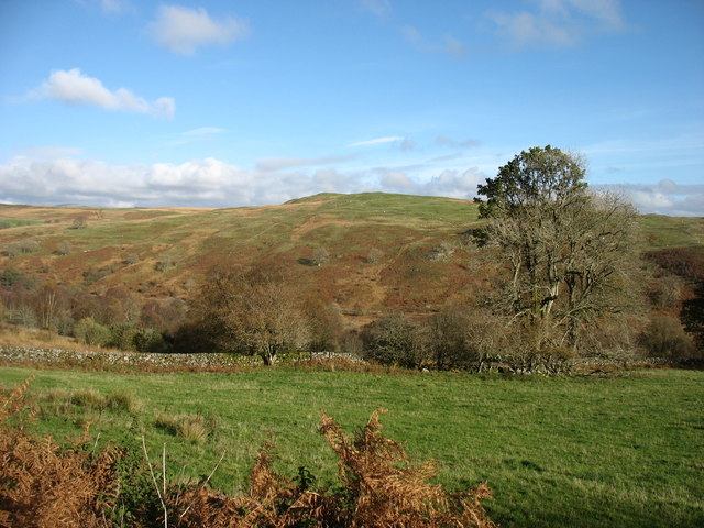
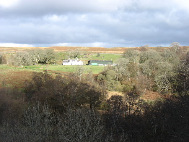
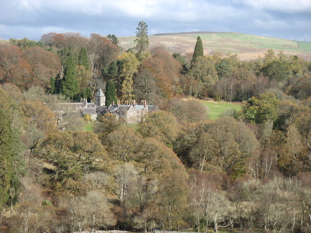
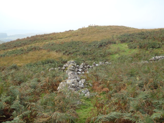
Stranfasket Wood, located in Kirkcudbrightshire, is a picturesque woodland area known for its natural beauty and diverse wildlife. Covering an area of approximately 500 acres, the wood is situated on the outskirts of the town of Kirkcudbright, in southwestern Scotland.
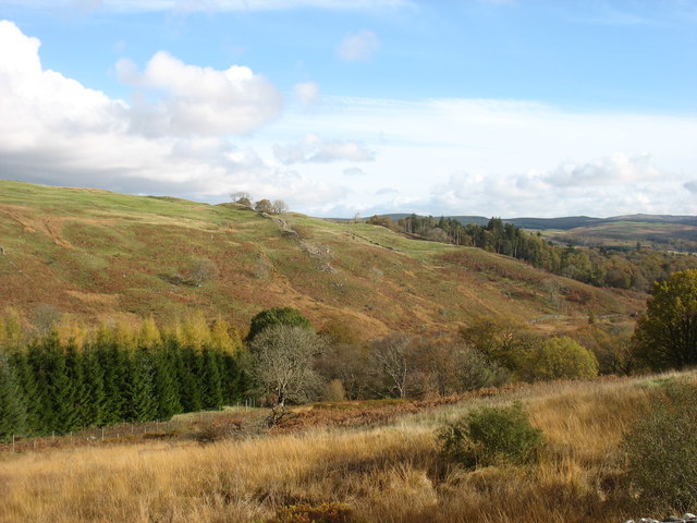
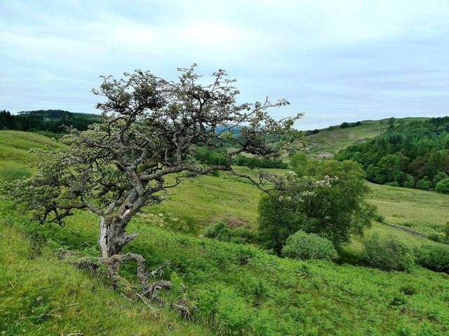
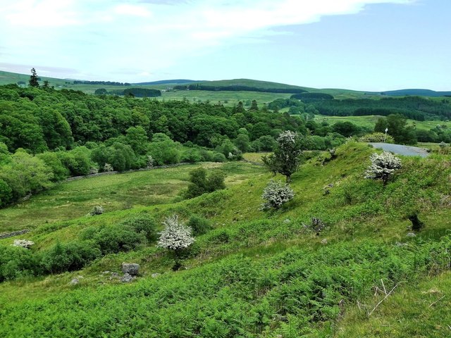
The wood is predominantly composed of native broadleaf trees, including oak, ash, and birch, which create a lush and vibrant canopy throughout the year. The dense foliage provides a habitat for a wide variety of flora and fauna, making it an ideal spot for nature enthusiasts and wildlife photographers.
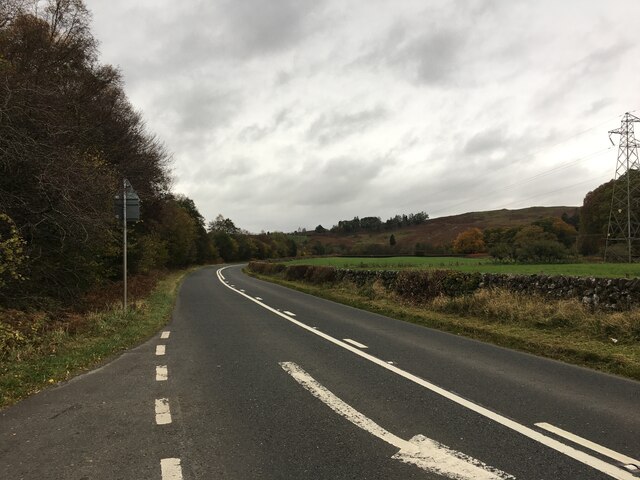
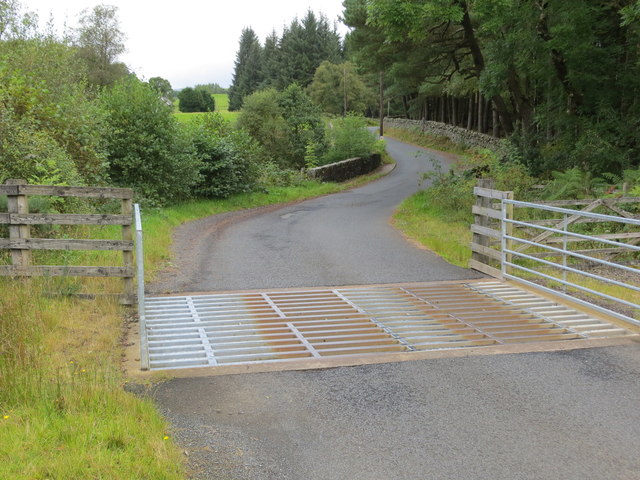
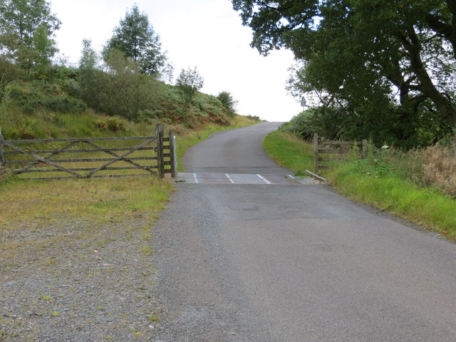
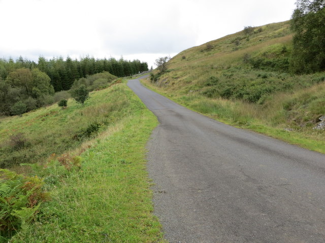
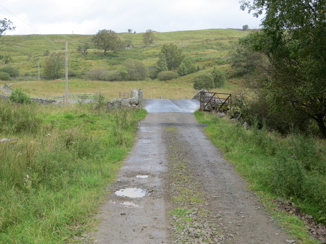
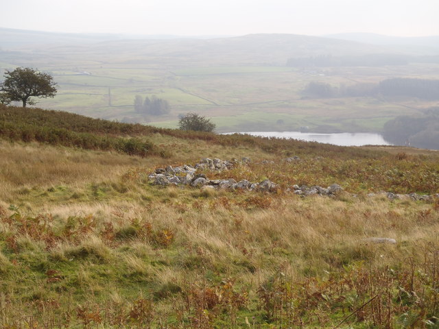
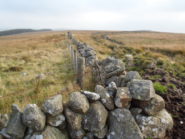
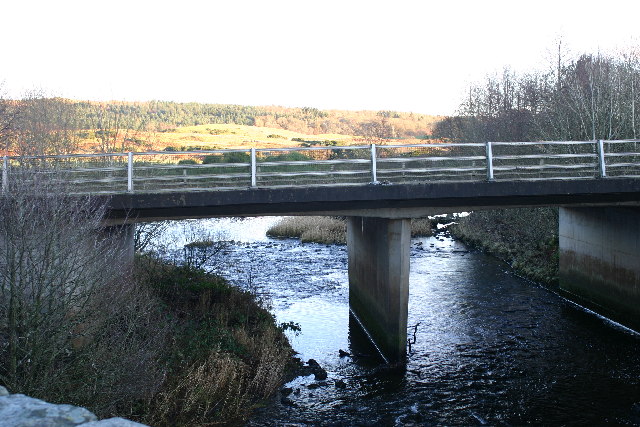
Stranfasket Wood is crisscrossed by a network of well-maintained trails, allowing visitors to explore the area and discover its hidden gems. The paths wind through the woodland, offering panoramic views of the surrounding countryside and glimpses of the nearby River Dee.
The wood has a rich history, with evidence of human activity dating back thousands of years. Archaeological finds, such as ancient burial mounds and stone circles, add an air of mystery and intrigue to the area.
In addition to its natural beauty, Stranfasket Wood offers recreational activities for visitors. It is a popular spot for walking, jogging, and cycling, with designated routes catering to different levels of fitness. The wood also has picnic areas and benches, providing a peaceful setting for a leisurely lunch or a moment of relaxation.
Overall, Stranfasket Wood is a haven of tranquility and natural splendor, offering visitors the chance to immerse themselves in the beauty of Scotland's woodlands while enjoying a range of outdoor activities.
If you have any feedback on the listing, please let us know in the comments section below.
Stranfasket Wood Images
Images are sourced within 2km of 55.137847/-4.2169139 or Grid Reference NX5884. Thanks to Geograph Open Source API. All images are credited.

Stranfasket Wood is located at Grid Ref: NX5884 (Lat: 55.137847, Lng: -4.2169139)
Unitary Authority: Dumfries and Galloway
Police Authority: Dumfries and Galloway
What 3 Words
///zest.sparkle.fruitcake. Near Bellsbank, East Ayrshire
Nearby Locations
Related Wikis

Waukers Linn
Waukers Linn is a waterfall on Polharrow Burn in Dumfries and Galloway, Scotland. == See also == Waterfalls of Scotland == References ==

Polharrow Burn
Polharrow Burn is a small watercourse in Dumfries and Galloway, Scotland, in the historic county of Kirkcudbrightshire. It rises in Loch Harrow and flows...

Earlstoun Castle
Earlstoun Castle, sometimes spelled Earlston Castle, is a derelict tower house near St John's Town of Dalry in Dumfries and Galloway, Scotland. Built in...

St John's Town of Dalry
St John's Town of Dalry (Scottish Gaelic: Clachan Eòin), usually referred to simply as Dalry (/dæl'raɪ/ / 'dal-RYE'), is a village in Dumfries and Galloway...

Lochinvar
Lochinvar (or Lan Var) is a loch in the civil parish of Dalry in the historic county of Kirkcudbrightshire, Dumfries and Galloway Scotland. It is located...

Kells, Dumfries and Galloway
Kells parish, in the Stewartry of Kirkcudbright in Scotland, is located 14 miles (NWbN) from Castle-Douglas, and 19 miles (NbW) from Kirkcudbright. It...

Barscobe Castle
Barscobe Castle is a 17th-century tower house in Balmaclellan, Kirkcudbrightshire, Scotland. It is a typical house of a country laird, and according to...

Ken Bridge
The Ken Bridge is a road bridge about 0.8 kilometres (0.5 mi) north east of New Galloway in Dumfries and Galloway, Scotland, which carries the A712 road...
Nearby Amenities
Located within 500m of 55.137847,-4.2169139Have you been to Stranfasket Wood?
Leave your review of Stranfasket Wood below (or comments, questions and feedback).