Clockclocher Plantation
Wood, Forest in Ayrshire
Scotland
Clockclocher Plantation
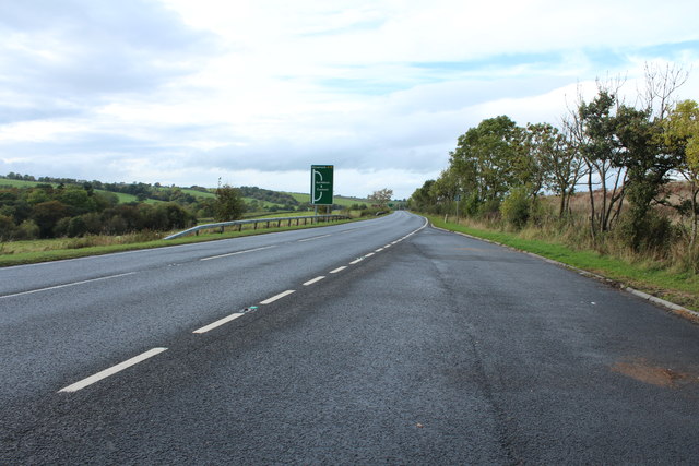
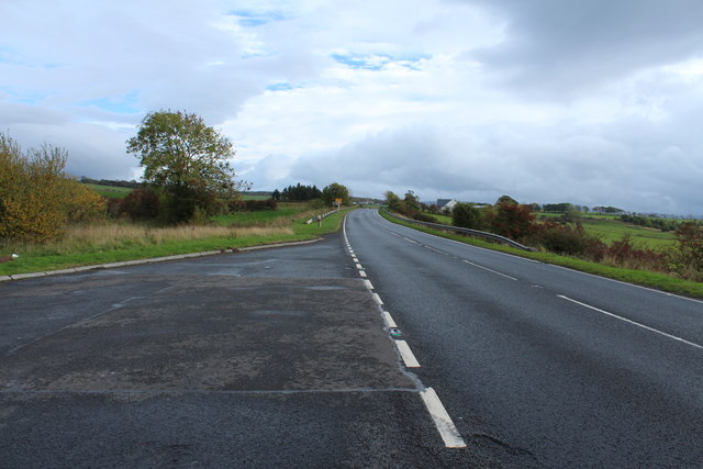
![Site of Cumnock station View SE on the A76 leaving Cumnock, where the ex-Glasgow &amp; South Western line from Ayr via Annbank and Drongan (to the right) - (to the left) Cronberry and Muirkirk used to cross by an overbridge. The station had been on the right: it was closed along with the line Annbank - Drongan - Cronberry from 10/9/51 to passengers, 1/7/59 to goods. (See also <a href="https://www.geograph.org.uk/photo/3233133">NS4024 : Junction at site of Annbank station, 1994</a>). [Apologies for an uninspiring scene].](https://s2.geograph.org.uk/geophotos/03/35/94/3359410_7855e0da.jpg)
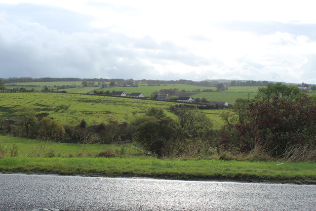
Clockclocher Plantation is a picturesque woodland located in Ayrshire, Scotland. Covering an area of approximately 100 acres, the plantation is an enchanting mix of native and exotic tree species, providing a haven for wildlife and a tranquil retreat for visitors.
The woodland is dominated by a variety of tall, majestic trees, including oak, beech, and pine. These trees create a dense canopy, casting dappled shade on the forest floor and offering a cool respite during hot summer days. The plantation is known for its well-maintained pathways, allowing visitors to explore the woodland comfortably and enjoy its natural beauty.
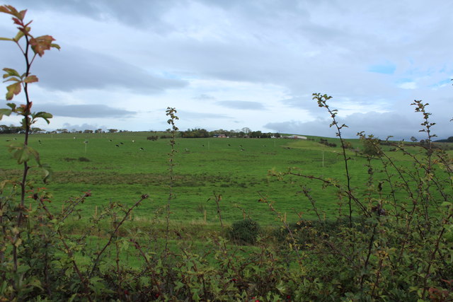
Clockclocher Plantation is home to a diverse range of flora and fauna. Wildflowers such as bluebells and primroses carpet the forest floor in spring, adding vibrant bursts of color. The woodland is also a habitat for various bird species, including woodpeckers, owls, and thrushes, making it a paradise for birdwatchers.
For outdoor enthusiasts, the plantation offers several recreational activities. There are designated picnic areas where visitors can enjoy a leisurely lunch amidst the serene surroundings. The woodland also has a network of trails suitable for walking, jogging, and cycling, providing the perfect opportunity to immerse oneself in nature and enjoy the fresh air.
Overall, Clockclocher Plantation in Ayrshire is a true gem for nature lovers, offering a peaceful retreat where one can escape the hustle and bustle of everyday life and reconnect with the natural world.
If you have any feedback on the listing, please let us know in the comments section below.
Clockclocher Plantation Images
Images are sourced within 2km of 55.446109/-4.2363089 or Grid Reference NS5819. Thanks to Geograph Open Source API. All images are credited.


Clockclocher Plantation is located at Grid Ref: NS5819 (Lat: 55.446109, Lng: -4.2363089)
Unitary Authority: East Ayrshire
Police Authority: Ayrshire
What 3 Words
///tonic.yummy.belong. Near Logan, East Ayrshire
Nearby Locations
Related Wikis

Netherthird
Netherthird is a small housing scheme to the south of Cumnock town centre in East Ayrshire, Scotland. It features a primary school, small grocery shops...

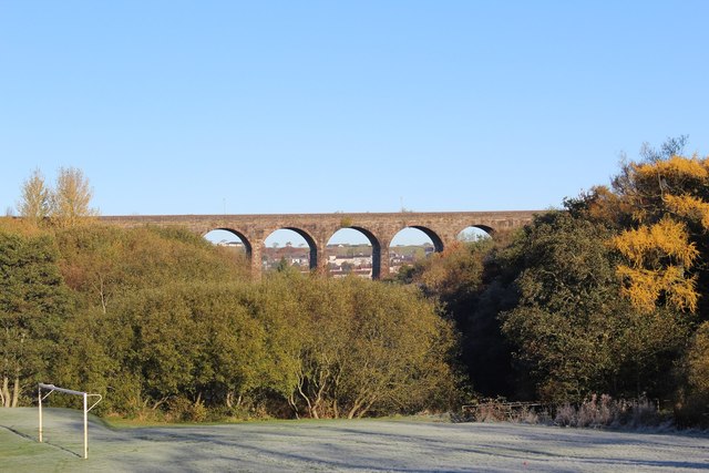
Glaisnock Viaduct
The Glaisnock Viaduct or Caponacre Viaduct is a viaduct over the Glaisnock Water, on the former Glasgow and South Western Railway. It is located in Cumnock...

Logan, East Ayrshire
Logan (Scottish Gaelic: An Lagan) is a village in East Ayrshire, southwest Scotland. It is 1 mile (1.6 km) east of Cumnock, by the Lugar Water. Logan is...

Cumnock (second) railway station
Cumnock railway station was a railway station serving the town of Cumnock, East Ayrshire, Scotland. The station was originally part of the Annbank to Cronberry...
Nearby Amenities
Located within 500m of 55.446109,-4.2363089Have you been to Clockclocher Plantation?
Leave your review of Clockclocher Plantation below (or comments, questions and feedback).