Ladies Ride Wood
Wood, Forest in Stirlingshire
Scotland
Ladies Ride Wood
Ladies Ride Wood is a captivating forest located in Stirlingshire, Scotland. Spanning over a vast area, this woodland offers a serene and picturesque setting for nature enthusiasts and outdoor adventurers. The forest is situated near the town of Stirling, making it easily accessible for locals and tourists alike.
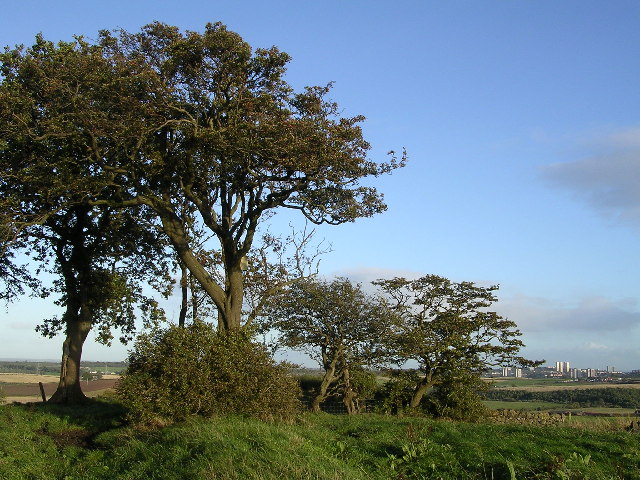
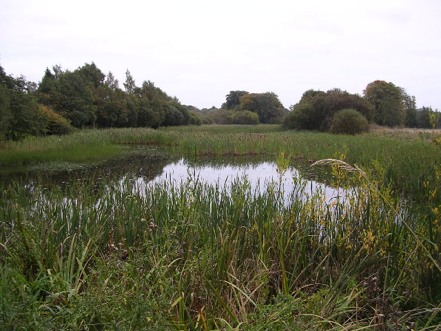
Ladies Ride Wood is known for its stunning array of native trees, including oak, beech, and birch. The lush green canopy provides shelter to a diverse range of wildlife, such as red squirrels, roe deer, and various bird species. This makes it an ideal spot for birdwatching and wildlife spotting.
The wood also boasts an extensive network of walking trails, making it a haven for hikers and walkers. The Ladies Ride trail, after which the forest is named, is particularly popular among visitors. This trail meanders through the woodland, offering breathtaking views at every turn.
In addition to its natural beauty, Ladies Ride Wood holds historical significance. It was named after a historical event where Queen Victoria and her ladies-in-waiting rode through the forest during her visit to Stirling Castle. This adds a touch of royal heritage to the woodland, making it an intriguing destination for history enthusiasts.
Overall, Ladies Ride Wood in Stirlingshire is a spectacular forest that offers a mix of natural beauty, recreational opportunities, and historical charm. Whether you are seeking a peaceful walk amidst nature or hoping to catch a glimpse of the local wildlife, this woodland is sure to leave you captivated by its tranquility and natural wonders.
If you have any feedback on the listing, please let us know in the comments section below.
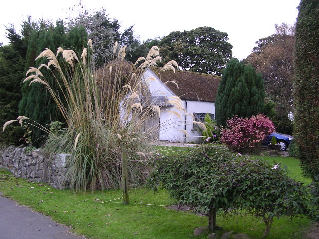
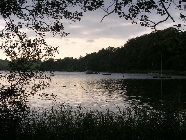
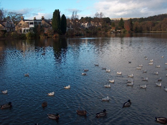
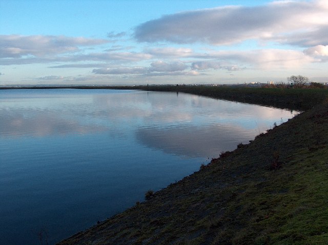
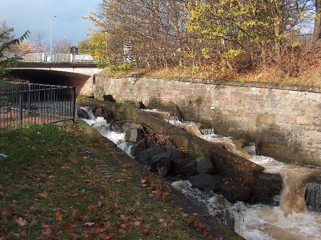
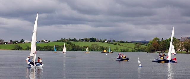
Ladies Ride Wood Images
Images are sourced within 2km of 55.93802/-4.2915627 or Grid Reference NS5674. Thanks to Geograph Open Source API. All images are credited.
Ladies Ride Wood is located at Grid Ref: NS5674 (Lat: 55.93802, Lng: -4.2915627)
Unitary Authority: East Dunbartonshire
Police Authority: Greater Glasgow
What 3 Words
///grabs.riches.perky. Near Milngavie, East Dunbartonshire
Nearby Locations
Related Wikis

Bardowie Castle
Bardowie Castle is located 2 kilometres (1.2 mi) east of Milngavie, in East Dunbartonshire, Scotland. The A-Listed building overlooks Bardowie Loch. The...
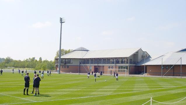
Rangers Training Centre
The Rangers Training Centre is the training ground of Rangers located in Milngavie, East Dunbartonshire, Scotland. It was opened in 2001 and originally...

Barnellan
Barnellan is a small hamlet in East Dunbartonshire, Scotland, situated in the civil parish of Baldernock. It consists of a few houses and a farm, the latter...

Baldernock
Baldernock (; Gaelic: Baile D' Earnaig) meaning 'settlement of St Earnaig' (Iain Mac an Táilleir, Sabhall Mór Ostaig) is a small parish in East Dunbartonshire...
Nearby Amenities
Located within 500m of 55.93802,-4.2915627Have you been to Ladies Ride Wood?
Leave your review of Ladies Ride Wood below (or comments, questions and feedback).