Stable Wood
Wood, Forest in Stirlingshire
Scotland
Stable Wood
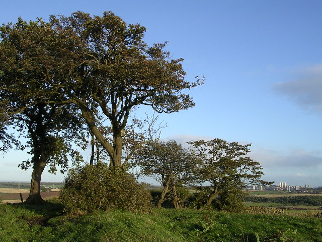
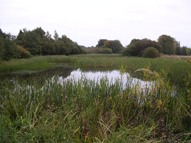
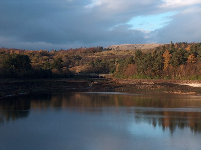
Stable Wood is a picturesque forest located in Stirlingshire, Scotland. Situated in the heart of the country, this enchanting wood is known for its natural beauty and tranquil atmosphere. The wood covers a vast area, providing a haven for wildlife and offering visitors a unique opportunity to immerse themselves in nature.
Stable Wood is predominantly made up of oak and beech trees, which create a dense canopy that filters sunlight and casts dappled shadows on the forest floor. The trees in the wood are mature and majestic, some of them dating back hundreds of years. Their towering presence gives the wood an air of grandeur and timelessness.
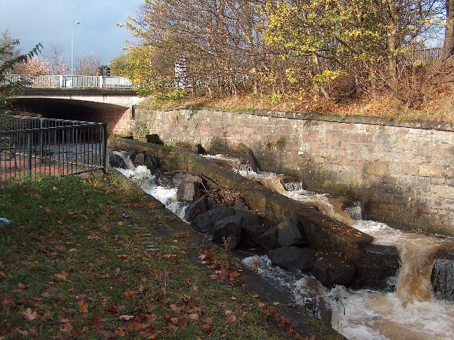
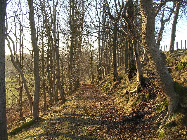
Visitors to Stable Wood can explore a network of well-maintained walking trails that wind through the forest. These trails offer a chance to observe the diverse flora and fauna that call the wood home. From colorful wildflowers to rare bird species, the wood is a haven for nature enthusiasts and birdwatchers.
In addition to its natural beauty, Stable Wood also has historical significance. It is believed that the wood was once part of a larger estate that belonged to a local noble family. Remnants of old stone walls and ruins can still be found within the wood, adding an air of mystery and intrigue to the surroundings.
Overall, Stable Wood in Stirlingshire is a captivating destination for those seeking solace in nature. Whether it's a leisurely walk, birdwatching, or simply enjoying the peaceful ambiance, visitors are sure to find serenity in this enchanting forest.
If you have any feedback on the listing, please let us know in the comments section below.
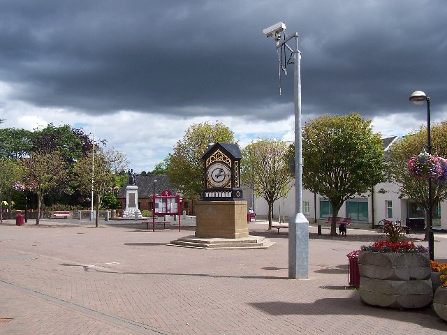
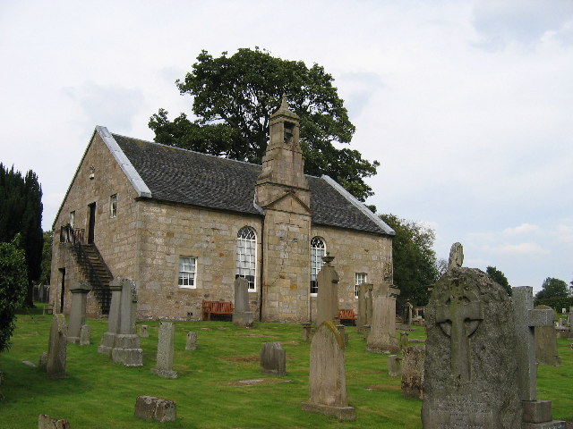
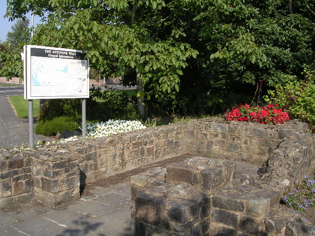
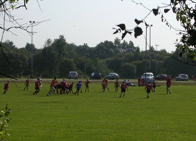
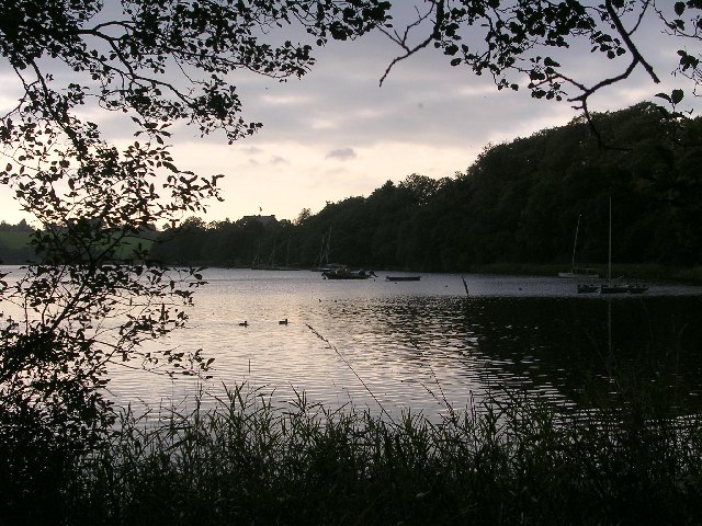
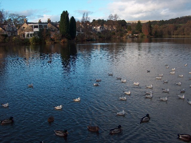
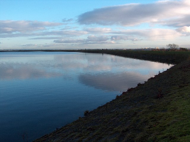
Stable Wood Images
Images are sourced within 2km of 55.94259/-4.2970855 or Grid Reference NS5674. Thanks to Geograph Open Source API. All images are credited.


Stable Wood is located at Grid Ref: NS5674 (Lat: 55.94259, Lng: -4.2970855)
Unitary Authority: East Dunbartonshire
Police Authority: Greater Glasgow
What 3 Words
///teach.boring.fills. Near Milngavie, East Dunbartonshire
Nearby Locations
Related Wikis

Milngavie water treatment works
Milngavie water treatment works (commonly known as The Waterworks) is a Scottish Water-operated water treatment facility located in Milngavie, Scotland...

St Paul's Church (Milngavie)
St Paul's Church is a church building of the Presbyterian Church of Scotland in the Scottish town of Milngavie in East Dunbartonshire, near Glasgow. It...

Milngavie
Milngavie ( mul-GHY; Scottish Gaelic: Muileann-Ghaidh) is a town in East Dunbartonshire, Scotland and a suburb of Glasgow. It is on the Allander Water...

Milngavie railway station
Milngavie railway station serves the town of Milngavie, East Dunbartonshire, near Glasgow in Scotland. The station is sited 9 miles 35 chains (15.2 km...
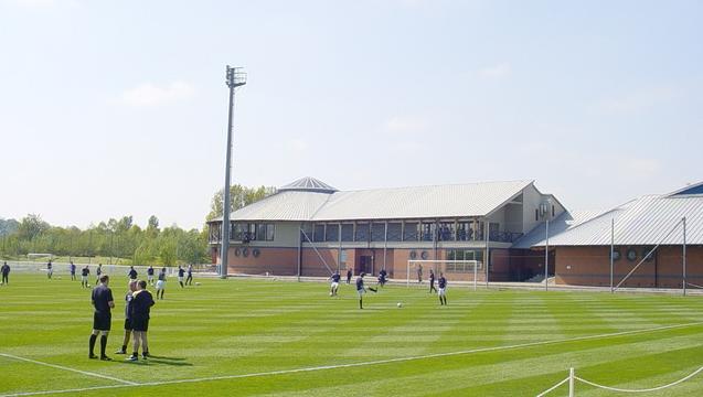
Rangers Training Centre
The Rangers Training Centre is the training ground of Rangers located in Milngavie, East Dunbartonshire, Scotland. It was opened in 2001 and originally...

Baldernock
Baldernock (; Gaelic: Baile D' Earnaig) meaning 'settlement of St Earnaig' (Iain Mac an Táilleir, Sabhall Mór Ostaig) is a small parish in East Dunbartonshire...
West of Scotland F.C.
West of Scotland Football Club is a rugby union club based in Milngavie, Scotland. Founded in 1865, West of Scotland are one of the oldest rugby clubs...
Bearsden and Milngavie
Bearsden and Milngavie (Scottish Gaelic: Cille Phàdraig Ùr agus Muileann Dhaibhidh) was, from 1975 to 1996, one of nineteen local government districts...
Nearby Amenities
Located within 500m of 55.94259,-4.2970855Have you been to Stable Wood?
Leave your review of Stable Wood below (or comments, questions and feedback).