Back Wood
Wood, Forest in Stirlingshire
Scotland
Back Wood
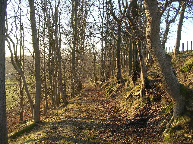
Back Wood is a picturesque forest located in Stirlingshire, Scotland. Nestled in the heart of the countryside, it is renowned for its natural beauty and tranquil atmosphere. The wood covers a vast area of approximately 100 acres and is home to a diverse range of flora and fauna.
The forest features a combination of deciduous and coniferous trees, creating a stunning tapestry of colors throughout the seasons. Towering oak, beech, and birch trees dominate the landscape, providing a dense canopy that filters sunlight and creates a cool, shaded environment beneath.
Back Wood is a haven for wildlife enthusiasts and nature lovers alike. The forest is teeming with a variety of animal species, including red squirrels, roe deer, and a wide range of birdlife. Visitors may also spot elusive creatures such as pine martens and badgers, as well as a plethora of insects and butterflies.
Numerous walking trails wind their way through the wood, offering visitors the opportunity to explore its natural wonders. These well-maintained paths cater to all levels of fitness and provide a chance to immerse oneself in the peaceful ambiance of the forest. As visitors venture deeper into the wood, they may stumble upon hidden glens, babbling brooks, and enchanting clearings, adding to the magical allure of the place.
Back Wood is a true gem in Stirlingshire, offering a serene escape from the hustle and bustle of everyday life. Whether it's for a leisurely stroll, birdwatching, or simply reconnecting with nature, this enchanting forest never fails to captivate its visitors with its natural beauty and tranquility.
If you have any feedback on the listing, please let us know in the comments section below.
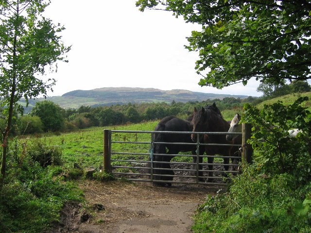
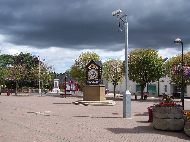
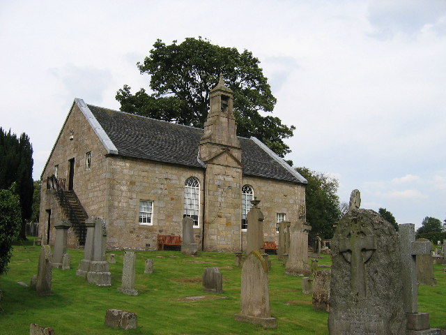
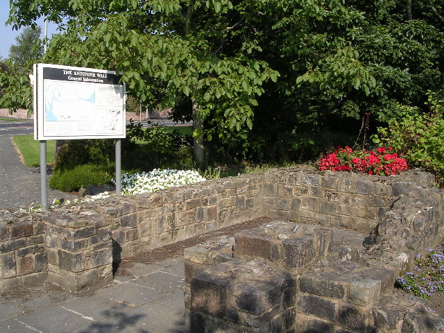
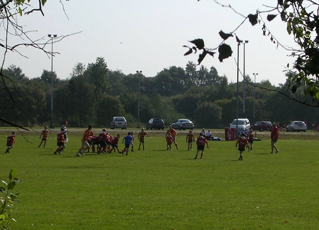
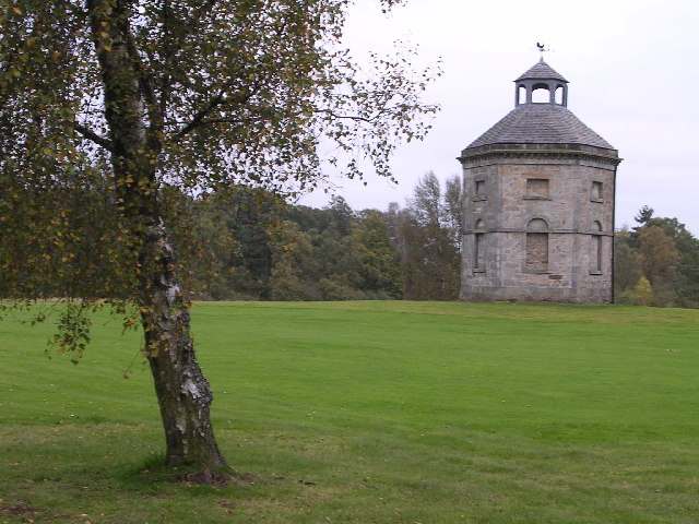
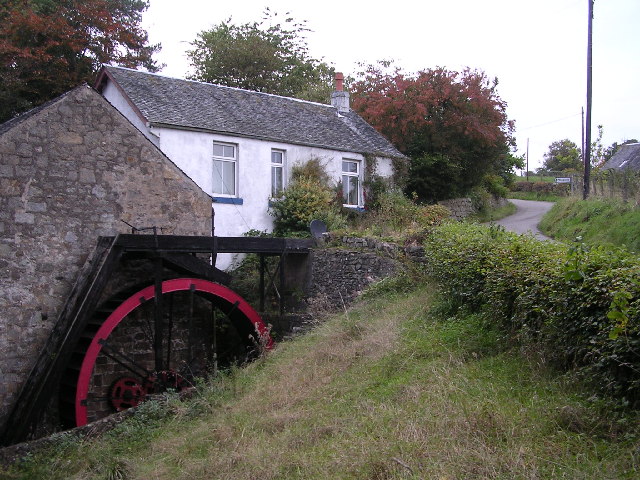
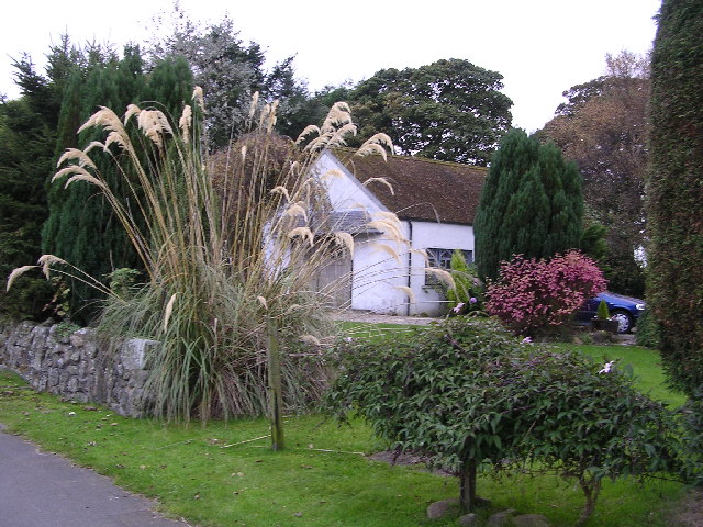
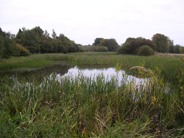
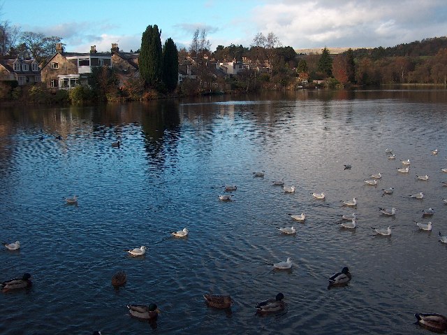
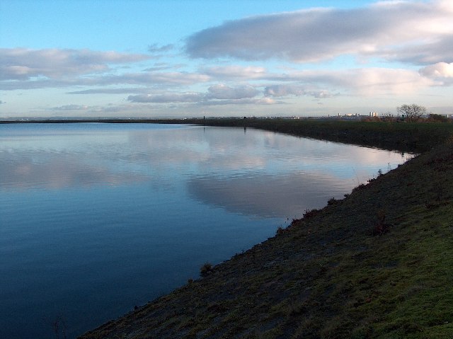
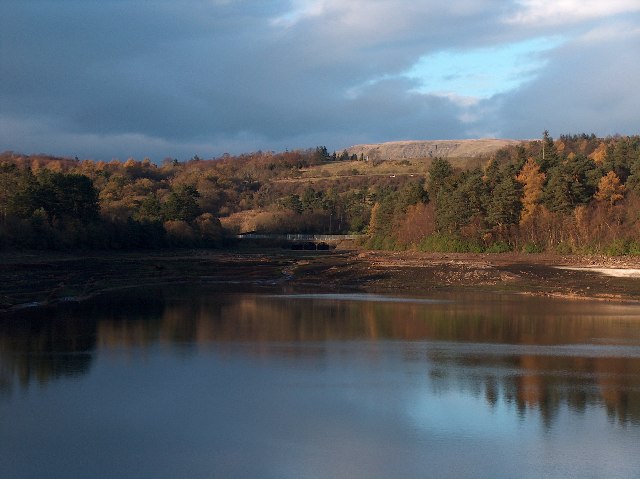
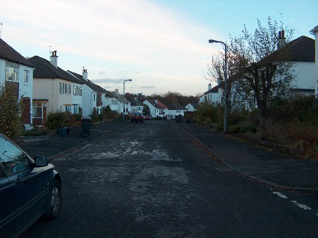
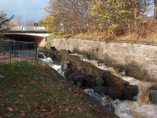
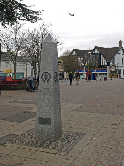
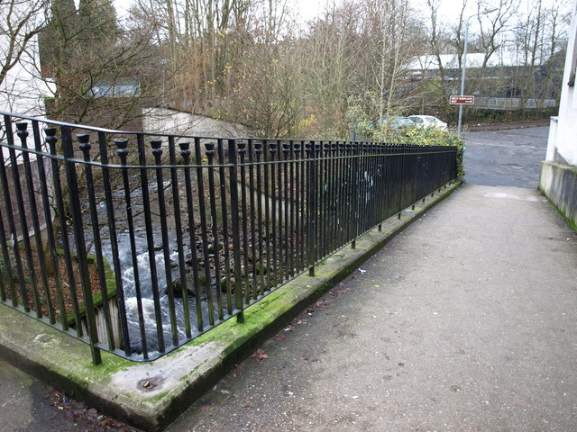
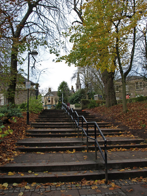
Back Wood Images
Images are sourced within 2km of 55.944975/-4.3002857 or Grid Reference NS5674. Thanks to Geograph Open Source API. All images are credited.
Back Wood is located at Grid Ref: NS5674 (Lat: 55.944975, Lng: -4.3002857)
Unitary Authority: East Dunbartonshire
Police Authority: Greater Glasgow
What 3 Words
///twins.paint.refuse. Near Milngavie, East Dunbartonshire
Nearby Locations
Related Wikis

Milngavie water treatment works
Milngavie water treatment works (commonly known as The Waterworks) is a Scottish Water-operated water treatment facility located in Milngavie, Scotland...

St Paul's Church (Milngavie)
St Paul's Church is a church building of the Presbyterian Church of Scotland in the Scottish town of Milngavie in East Dunbartonshire, near Glasgow. It...

Milngavie
Milngavie ( mul-GHY; Scottish Gaelic: Muileann-Ghaidh) is a town in East Dunbartonshire, Scotland and a suburb of Glasgow. It is on the Allander Water...

Milngavie railway station
Milngavie railway station serves the town of Milngavie, East Dunbartonshire, near Glasgow in Scotland. The station is sited 9 miles 35 chains (15.2 km...

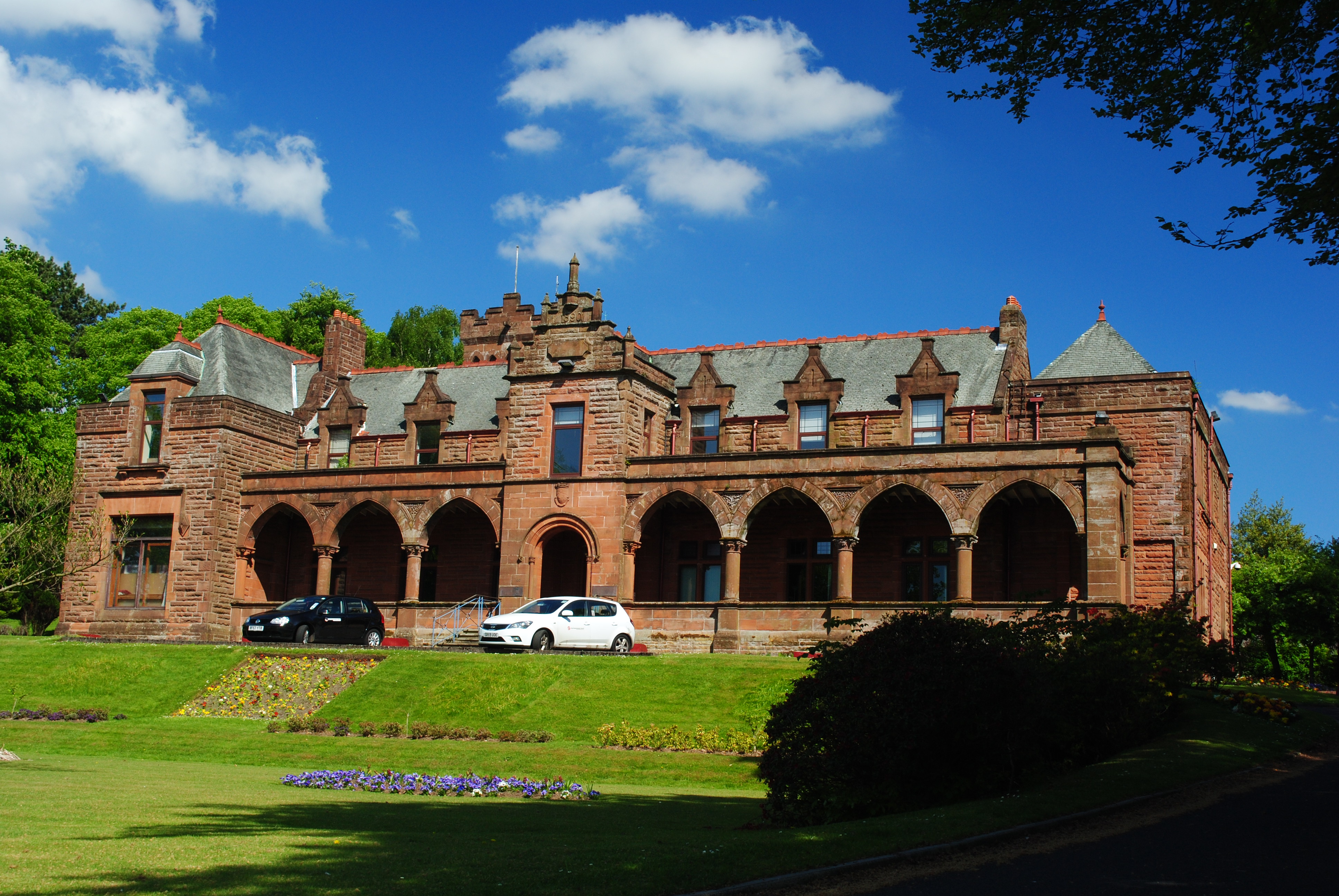
Heatherbank House
Heatherbank House is an early 19th century private house located in Milngavie, Scotland and is one of the oldest buildings in the town. It is the former...
Bearsden and Milngavie
Bearsden and Milngavie (Scottish Gaelic: Cille Phàdraig Ùr agus Muileann Dhaibhidh) was, from 1975 to 1996, one of nineteen local government districts...

Baldernock
Baldernock (; Gaelic: Baile D' Earnaig) meaning 'settlement of St Earnaig' (Iain Mac an Táilleir, Sabhall Mór Ostaig) is a small parish in East Dunbartonshire...
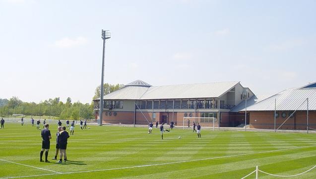
Rangers Training Centre
The Rangers Training Centre is the training ground of Rangers located in Milngavie, East Dunbartonshire, Scotland. It was opened in 2001 and originally...
Nearby Amenities
Located within 500m of 55.944975,-4.3002857Have you been to Back Wood?
Leave your review of Back Wood below (or comments, questions and feedback).