Knevocklaw Plantation

Wood, Forest in Ayrshire

Scotland

Knevocklaw Plantation

Foulpapple Road at Knevocklaw Foulpapple Road heads uphill at left. Across the road is the farm road to Knevocklaw.
Foulpapple Road at Knevocklaw Credit: Alec MacKinnon

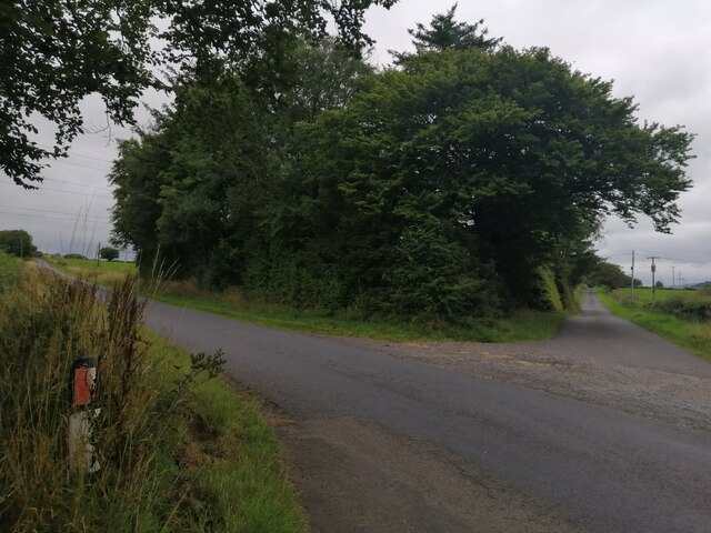
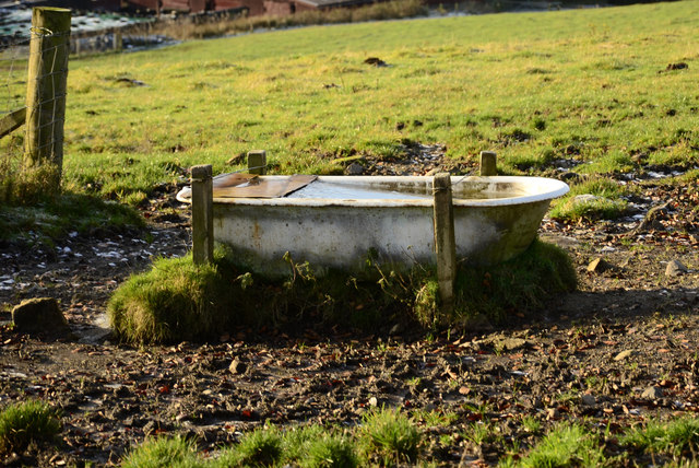
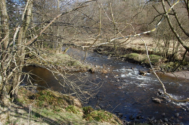
Knevocklaw Plantation is a sprawling woodland located in Ayrshire, Scotland. Covering an extensive area, this plantation is renowned for its diverse range of tree species and rich biodiversity. The plantation is situated in the vicinity of the village of Wood, and its dense forest provides a picturesque backdrop to the surrounding countryside.

With a history dating back many centuries, Knevocklaw Plantation has played a significant role in the local community. Originally established as a working plantation, it has since transitioned into a protected area, ensuring the preservation of its natural wonders for generations to come. The woodland is home to a wide variety of tree species, including oak, birch, beech, and pine, creating a vibrant tapestry of colors throughout the seasons.

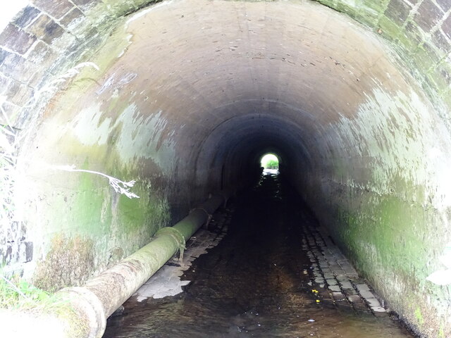
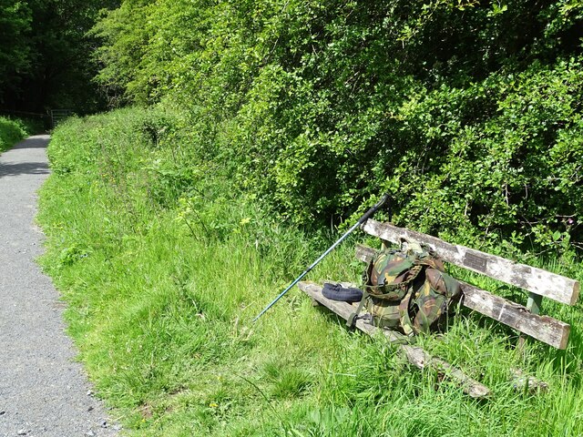
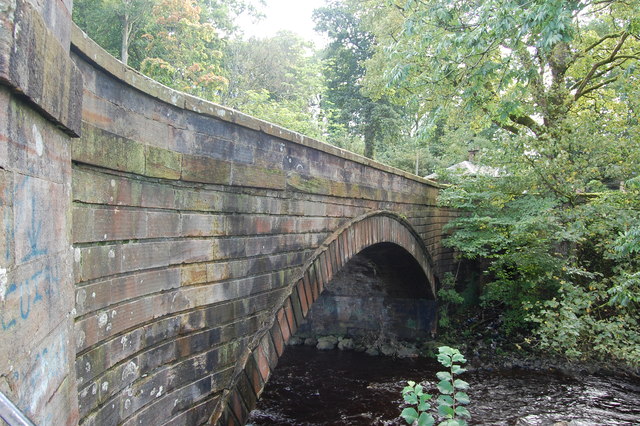
Visitors to Knevocklaw Plantation can explore the numerous walking trails that meander through the forest, offering a chance to immerse oneself in nature's tranquility. On these trails, one may encounter an array of wildlife, including deer, rabbits, and a multitude of bird species. The plantation also boasts a small lake, which further adds to its charm and provides a habitat for various aquatic creatures.

In addition to its natural beauty, Knevocklaw Plantation offers recreational activities such as birdwatching and photography, making it a popular destination for nature enthusiasts. Its accessibility and well-maintained paths ensure that visitors of all ages and abilities can enjoy the wonders of this woodland.

Overall, Knevocklaw Plantation is a captivating destination that captivates visitors with its stunning landscapes, diverse flora and fauna, and a rich history rooted in the heart of Ayrshire's woodlands.

If you have any feedback on the listing, please let us know in the comments section below.

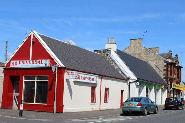
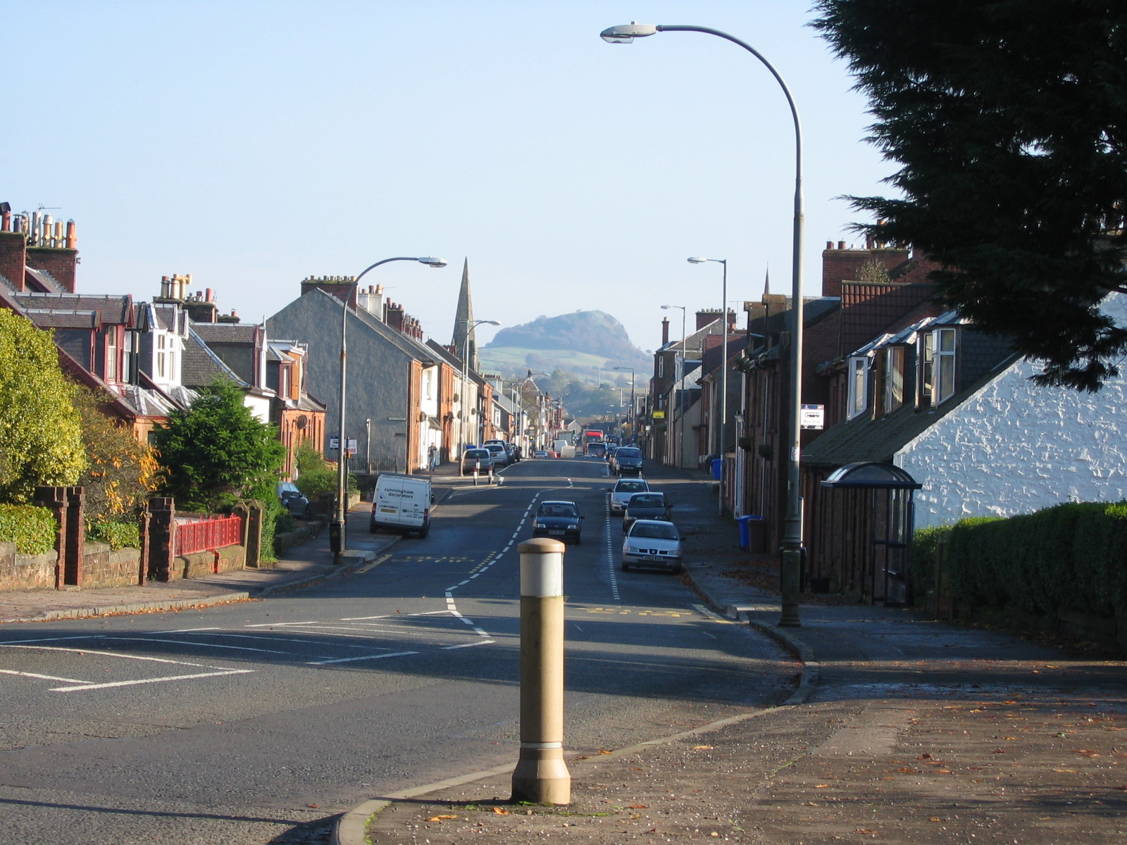
Knevocklaw Plantation Images

Images are sourced within 2km of 55.621305/-4.281411 or Grid Reference NS5638. Thanks to Geograph Open Source API. All images are credited.

Foulpapple Road at Knevocklaw Foulpapple Road heads uphill at left. Across the road is the farm road to Knevocklaw.
Foulpapple Road at Knevocklaw
Foulpapple Road heads uphill at left. Across the road is the farm road to Knevocklaw.
The Hendryton Burn The Hendryton Burn runs through a culvert under the old 
Darvel & Strathaven Branch of the old G.&.S.W.R.
This photo was taken on the 19th June 2022.
The Hendryton Burn
The Hendryton Burn runs through a culvert under the old Darvel & Strathaven Branch of the old G.&.S.W.R. This photo was taken on the 19th June 2022.
Old Bench A summer seat beside the pathway on the old railway.
This photo was taken on the 19th June 2022.
Old Bench
A summer seat beside the pathway on the old railway. This photo was taken on the 19th June 2022.
Road bridge Bridge over the River Irvine
Road bridge
Bridge over the River Irvine
Cold bath
Cold bath
High Henryton Darvel This ruined steading hasn't been occupied for at least 150 years. It is divided up into three sections. Two would be accommodation and the other would be used as a byre.
High Henryton Darvel
This ruined steading hasn't been occupied for at least 150 years. It is divided up into three sections. Two would be accommodation and the other would be used as a byre.
River meetings The Glen Water meets the River Irvine
River meetings
The Glen Water meets the River Irvine
Steel Bridge Private access bridge across River Irvine.
Steel Bridge
Private access bridge across River Irvine.
Burgh of Darvel - birth place of Sir Alexander Fleming Sign by the A71
Burgh of Darvel - birth place of Sir Alexander Fleming
Sign by the A71
West Main Street, Darvel
The Turf Hotel, West Main Street, Darvel Category B-listed. Built c1840
The Turf Hotel, West Main Street, Darvel
Category B-listed. Built c1840
The Black Bull, West Main Street, Darvel Dated 1840
The Black Bull, West Main Street, Darvel
Dated 1840
Darvel Town Hall Category B-listed. Built late 19th-early 20th century.
Darvel Town Hall
Category B-listed. Built late 19th-early 20th century.
Darvel War Memorial
Darvel War Memorial
The Dagon Stone, Hastings Square, Darvel Possible standing stone which has been moved and re-erected on more than one occasion. The round boulder on top was added by a local blacksmith in the 19th century.
The Dagon Stone, Hastings Square, Darvel
Possible standing stone which has been moved and re-erected on more than one occasion. The round boulder on top was added by a local blacksmith in the 19th century.
Darvel Industrial Co-Operative Society Ltd Registered Offices Derelict building on Ranoldcoup Road
Darvel Industrial Co-Operative Society Ltd Registered Offices
Derelict building on Ranoldcoup Road
East Main Street, Darvel At the corner of Jamieson Road
East Main Street, Darvel
At the corner of Jamieson Road
Show me another place!

Knevocklaw Plantation is located at Grid Ref: NS5638 (Lat: 55.621305, Lng: -4.281411)

Unitary Authority: East Ayrshire

Police Authority: Ayrshire

What 3 Words

///flattered.strictly.waged. Near Darvel, East Ayrshire

Nearby Locations

Knevocklaw Plantation

Related Wikis

Darvel

Darvel (Scots: Dairvel, Scottish Gaelic: Darbhail) is a small town in East Ayrshire, Scotland. It is at the eastern end of the Irvine Valley and is sometimes...

Darvel Music Festival

Darvel Music Festival is a music festival that has been held in the town of Darvel, East Ayrshire, Ayrshire, Scotland, since 2002. The Darvel Music Festival...

Darvel Town Hall

Darvel Town Hall is a municipal building in West Main Street, Darvel, East Ayrshire, Scotland. The structure, which is used as a library and a community...

Darvel F.C.

Darvel Football Club are a Scottish football club based in the town of Darvel, Ayrshire. Nicknamed "The Vale" and formed in 1889, the club play at Recreation...

Priestland

Priestland is a village in East Ayrshire, Scotland. It has a population of 121 (Census 2001) and lies on the A71, around two miles west of Loudoun Hill...

Newmilns Tower

Newmilns Tower is a 16th-century tower house, on Main Street, Newmilns, north of the River Irvine, East Ayrshire, Scotland. It may also be called Newmilns...

Kilmarnock and Loudoun (UK Parliament constituency)

Kilmarnock and Loudoun is a county constituency of the House of Commons of the Parliament of the United Kingdom. It elects one Member of Parliament (MP...

Newmilns

Newmilns is a village in the burgh of Newmilns and Greenholm, in East Ayrshire, Scotland. It has a population of 3,057 people (2001 census) and lies on...

Nearby Amenities

Located within 500m of 55.621305,-4.281411
Design: three-level
Power: tower
Lat/Long: 55.6224699/-4.2877946
Design: three-level
Power: tower
Lat/Long: 55.622815/-4.2836171
Design: three-level
Power: tower
Lat/Long: 55.6232427/-4.27977
Power: pole
Lat/Long: 55.6192912/-4.28783
Power: pole
Lat/Long: 55.6198712/-4.2871319
Power: pole
Lat/Long: 55.6204384/-4.2864151
Power: pole
Lat/Long: 55.6209949/-4.2857129
Power: pole
Lat/Long: 55.6215526/-4.2850066
Power: pole
Lat/Long: 55.622115/-4.2843044
Power: pole
Lat/Long: 55.622588/-4.2837251
Power: pole
Lat/Long: 55.6230515/-4.2831563
Power: pole
Lat/Long: 55.6232797/-4.2828687
Power: pole
Lat/Long: 55.6238351/-4.282154
Power: pole
Lat/Long: 55.6244327/-4.2814018
Power: pole
Lat/Long: 55.6249551/-4.2807413
Power: pole
Lat/Long: 55.6255245/-4.2799953
Power: pole
Lat/Long: 55.6209255/-4.2845127
Power: pole
Lat/Long: 55.6208384/-4.2832813
Power: pole
Lat/Long: 55.6207572/-4.2820498
The data included in this document is from www.openstreetmap.org. The data is made available under ODbL.

Have you been to Knevocklaw Plantation?

Leave your review of Knevocklaw Plantation below (or comments, questions and feedback).