Lawn Park
Downs, Moorland in Stirlingshire
Scotland
Lawn Park
Lawn Park is a picturesque and serene area located in Stirlingshire, Scotland. Nestled amidst the stunning landscape of downs and moorland, it offers a tranquil retreat for nature enthusiasts and outdoor lovers.
The park is characterized by its vast stretches of well-manicured lawns, providing ample space for various recreational activities such as picnicking, sunbathing, and playing sports. The lush greenery, dotted with beautiful flower beds and trees, creates an inviting ambiance for visitors to relax and unwind.
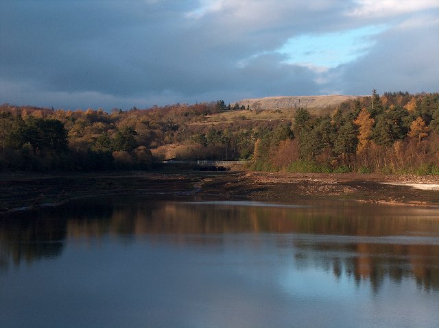
Lawn Park boasts breathtaking views of the surrounding moorland, with its rolling hills and expansive vistas. The untouched natural beauty of this area makes it a popular spot for walking and hiking enthusiasts, who can explore the numerous trails and pathways that wind through the park.
The park is also home to a diverse range of wildlife, including birds, rabbits, and deer, making it a haven for wildlife enthusiasts and photographers. Visitors can often spot these creatures in their natural habitats, adding to the charm of the park.
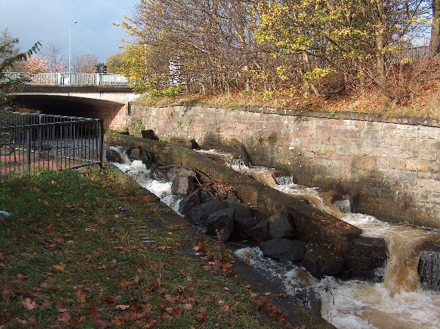
Lawn Park is well-equipped with facilities to cater to its visitors' needs. It features well-maintained paths and walkways, making it easily accessible to all. Additionally, there are picnic areas with benches and tables, as well as clean restroom facilities.
Overall, Lawn Park is a haven of tranquility, offering a delightful escape from the hustle and bustle of everyday life. Its natural beauty, combined with its range of recreational activities and wildlife sightings, make it a must-visit destination for those seeking a peaceful and idyllic experience in Stirlingshire.
If you have any feedback on the listing, please let us know in the comments section below.
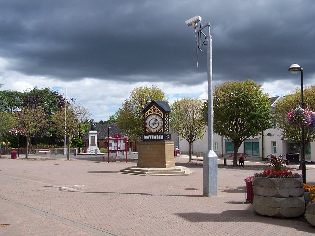
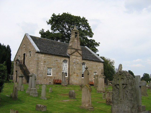
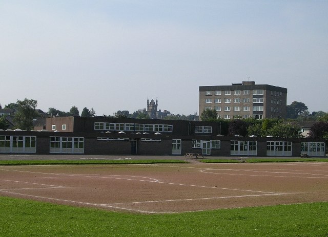
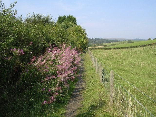
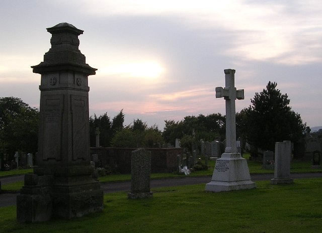
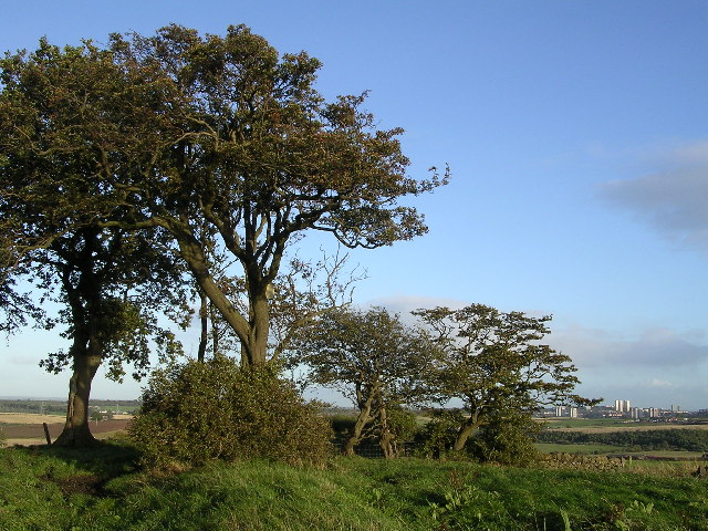
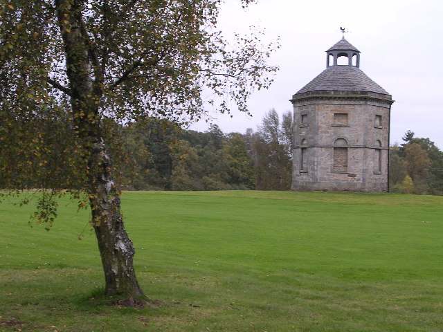
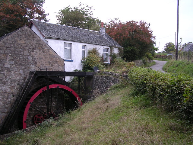
Lawn Park Images
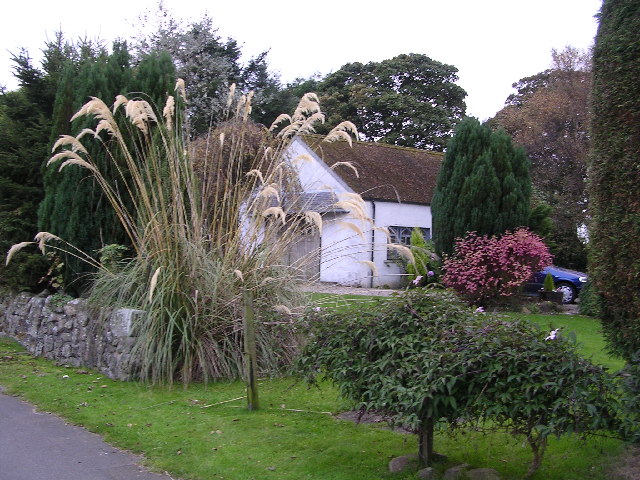
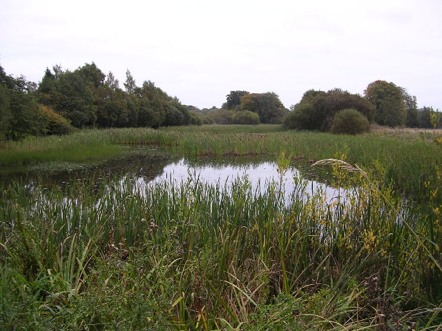
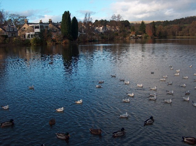
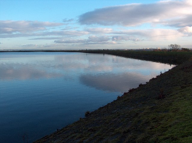
Images are sourced within 2km of 55.939451/-4.3044259 or Grid Reference NS5674. Thanks to Geograph Open Source API. All images are credited.
Lawn Park is located at Grid Ref: NS5674 (Lat: 55.939451, Lng: -4.3044259)
Unitary Authority: East Dunbartonshire
Police Authority: Greater Glasgow
What 3 Words
///cars.bring.hogs. Near Milngavie, East Dunbartonshire
Nearby Locations
Related Wikis

St Paul's Church (Milngavie)
St Paul's Church is a church building of the Presbyterian Church of Scotland in the Scottish town of Milngavie in East Dunbartonshire, near Glasgow. It...

Milngavie
Milngavie ( mul-GHY; Scottish Gaelic: Muileann-Ghaidh) is a town in East Dunbartonshire, Scotland and a suburb of Glasgow. It is on the Allander Water...

Milngavie railway station
Milngavie railway station serves the town of Milngavie, East Dunbartonshire, near Glasgow in Scotland. The station is sited 9 miles 35 chains (15.2 km...
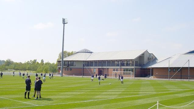
Rangers Training Centre
The Rangers Training Centre is the training ground of Rangers located in Milngavie, East Dunbartonshire, Scotland. It was opened in 2001 and originally...
West of Scotland F.C.
West of Scotland Football Club is a rugby union club based in Milngavie, Scotland. Founded in 1865, West of Scotland are one of the oldest rugby clubs...
Bearsden and Milngavie
Bearsden and Milngavie (Scottish Gaelic: Cille Phàdraig Ùr agus Muileann Dhaibhidh) was, from 1975 to 1996, one of nineteen local government districts...

Milngavie water treatment works
Milngavie water treatment works (commonly known as The Waterworks) is a Scottish Water-operated water treatment facility located in Milngavie, Scotland...

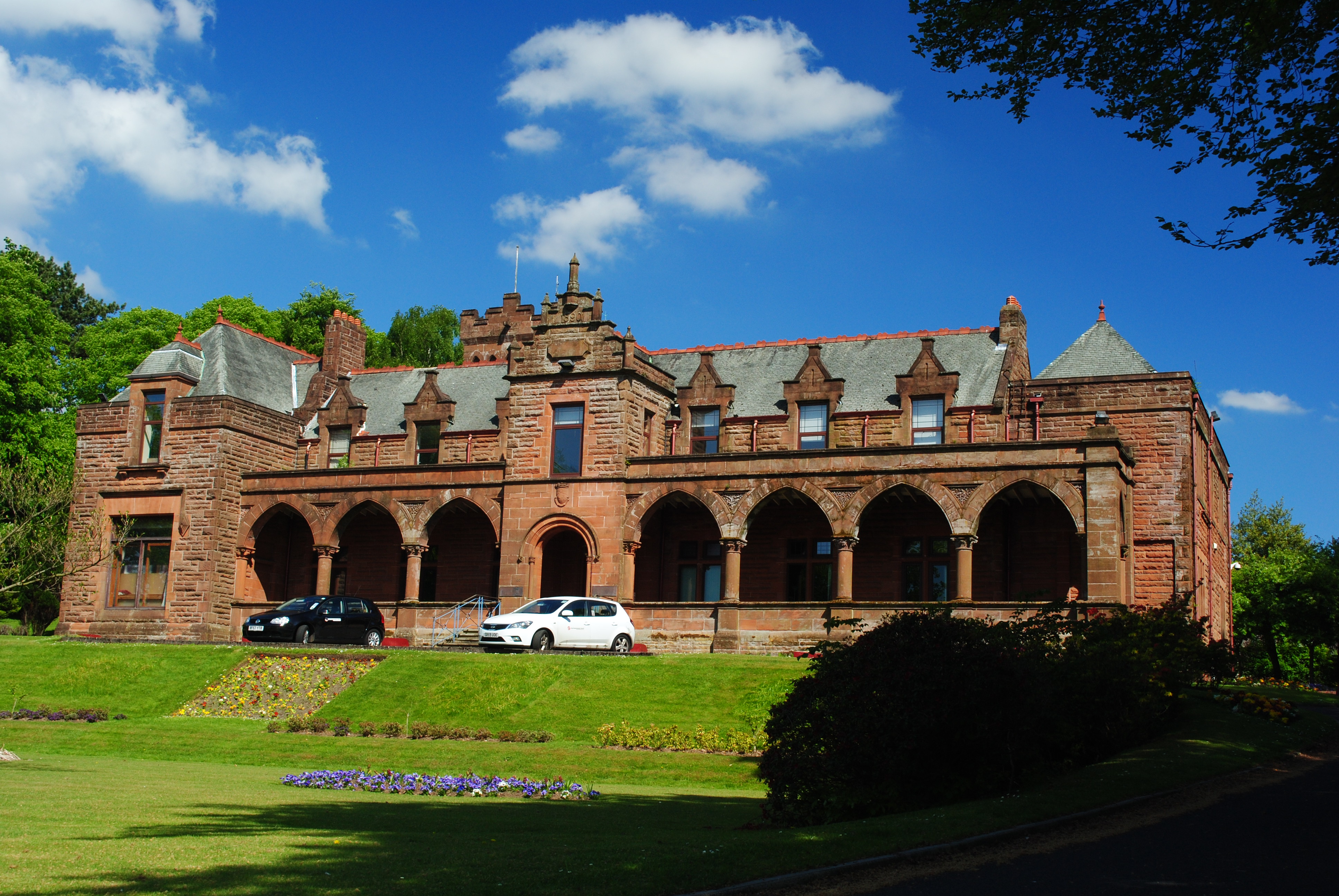
Heatherbank House
Heatherbank House is an early 19th century private house located in Milngavie, Scotland and is one of the oldest buildings in the town. It is the former...
Related Videos

Thru-Hiking the West Highland Way with my Dog: Milngavie to Rowardennan | Wind, Rain & a Rough Start
In March of 2024, Otto and I thru-hiked the West Highland Way in Scotland, one of the most famous long-distance trails in the UK.

6 Days in May : Walking Scotland's West Highland Way
In this 2023 re edit of my first time hiking the West Highland Way, join me as i set out from Milngavie to walk the 96 mile trail to its ...
Backpacking UK - The West Highland Way 2024 - the PERFECT start!
This is backpacking the West Highland Way like you've never seen before! 96 miles of hiking in 5 days with 4 stunning wild ...

Hiking the West Highland Way Route - Walk the Highlands with Traveling Mel - Walking Scotland!
See full details on the blog: https://travelingmel.com/walking-the-west-highland-way-in-scotland/ For my Birthday this year (2023), ...
Nearby Amenities
Located within 500m of 55.939451,-4.3044259Have you been to Lawn Park?
Leave your review of Lawn Park below (or comments, questions and feedback).