Wards Wood
Wood, Forest in Stirlingshire
Scotland
Wards Wood
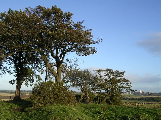
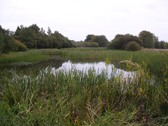
Wards Wood is a sprawling woodland located in Stirlingshire, Scotland. It covers an extensive area and is renowned for its natural beauty and diverse ecosystem. The wood is situated in close proximity to the town of Stirling, making it easily accessible for locals and tourists alike.
The woodland is primarily composed of deciduous trees, including oak, birch, and beech, which create a stunning canopy of colors during the autumn months. The trees tower above a lush undergrowth of ferns, mosses, and wildflowers, adding to the woodland's enchanting atmosphere.
Wards Wood is a haven for wildlife, with numerous species calling it home. Visitors may encounter red squirrels, roe deer, and a variety of bird species, such as woodpeckers, owls, and thrushes. The wood is also home to several protected species, including the Scottish primrose and the pearl-bordered fritillary butterfly.
For outdoor enthusiasts, Wards Wood offers an array of activities and trails. There are well-maintained paths that wind through the wood, providing opportunities for hiking, walking, and cycling. These trails offer breathtaking views of the surrounding countryside and the nearby River Forth.
The wood is managed by a local conservation group, who work tirelessly to preserve its natural beauty and protect its inhabitants. They regularly organize educational events and guided tours, allowing visitors to learn more about the woodland's history, ecology, and conservation efforts.
Overall, Wards Wood is a stunning natural gem in Stirlingshire, providing a tranquil escape from the hustle and bustle of daily life. Its picturesque scenery, abundant wildlife, and recreational opportunities make it a must-visit destination for nature lovers and outdoor enthusiasts.
If you have any feedback on the listing, please let us know in the comments section below.
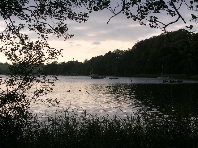
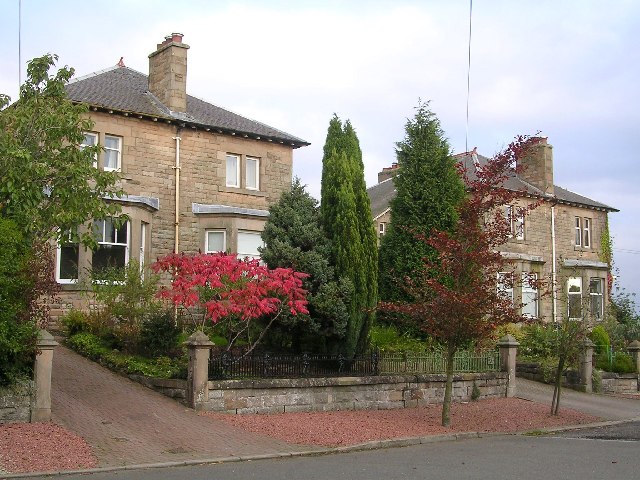
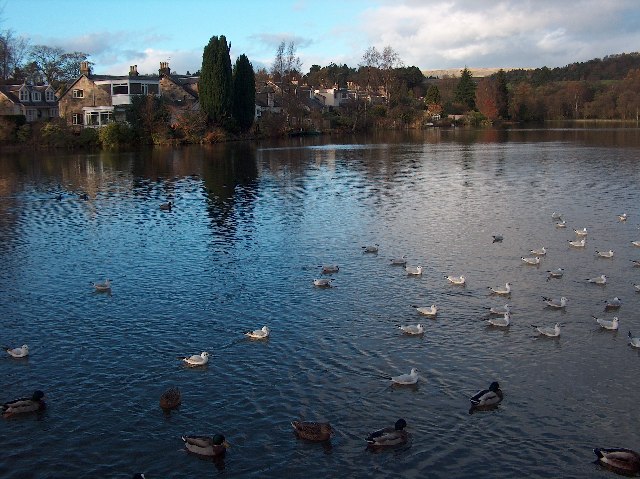
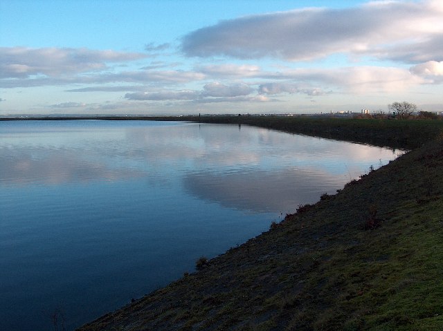
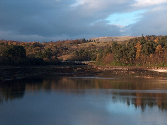
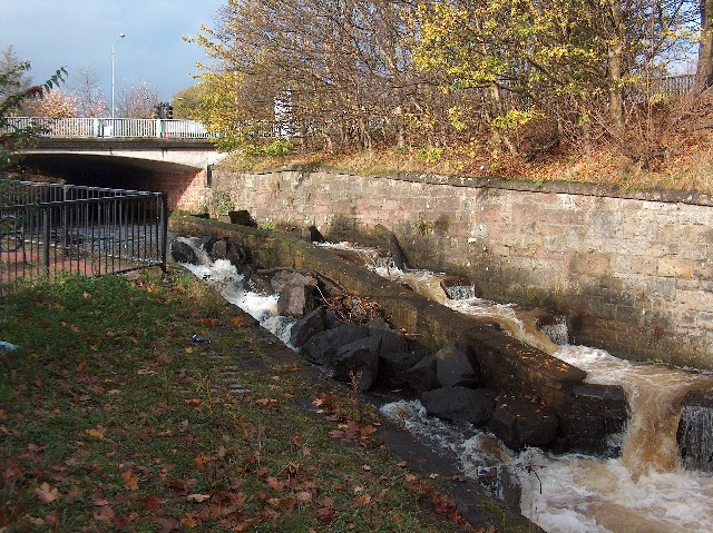
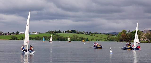
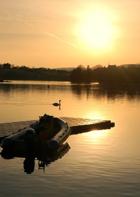
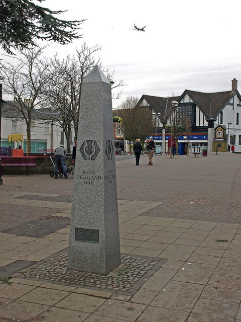
Wards Wood Images
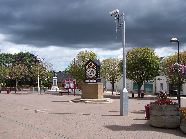
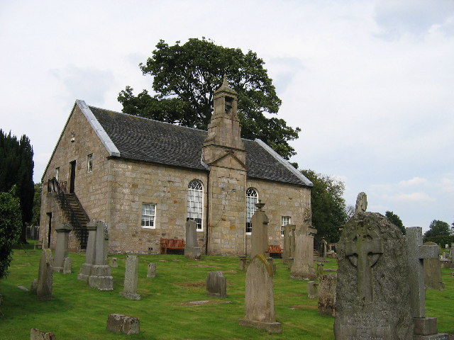
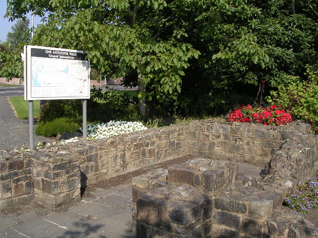
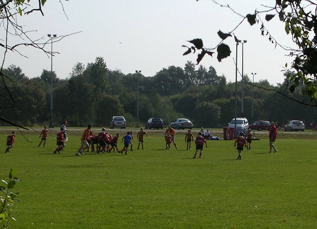
Images are sourced within 2km of 55.93911/-4.2967033 or Grid Reference NS5674. Thanks to Geograph Open Source API. All images are credited.
Wards Wood is located at Grid Ref: NS5674 (Lat: 55.93911, Lng: -4.2967033)
Unitary Authority: East Dunbartonshire
Police Authority: Greater Glasgow
What 3 Words
///wing.excuse.alone. Near Milngavie, East Dunbartonshire
Nearby Locations
Related Wikis
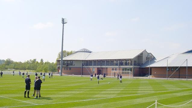
Rangers Training Centre
The Rangers Training Centre is the training ground of Rangers located in Milngavie, East Dunbartonshire, Scotland. It was opened in 2001 and originally...

St Paul's Church (Milngavie)
St Paul's Church is a church building of the Presbyterian Church of Scotland in the Scottish town of Milngavie in East Dunbartonshire, near Glasgow. It...

Milngavie
Milngavie ( mul-GHY; Scottish Gaelic: Muileann-Ghaidh) is a town in East Dunbartonshire, Scotland and a suburb of Glasgow. It is on the Allander Water...

Milngavie railway station
Milngavie railway station serves the town of Milngavie, East Dunbartonshire, near Glasgow in Scotland. The station is sited 9 miles 35 chains (15.2 km...
West of Scotland F.C.
West of Scotland Football Club is a rugby union club based in Milngavie, Scotland. Founded in 1865, West of Scotland are one of the oldest rugby clubs...

Milngavie water treatment works
Milngavie water treatment works (commonly known as The Waterworks) is a Scottish Water-operated water treatment facility located in Milngavie, Scotland...

Bardowie Castle
Bardowie Castle is located 2 kilometres (1.2 mi) east of Milngavie, in East Dunbartonshire, Scotland. The A-Listed building overlooks Bardowie Loch. The...

Baldernock
Baldernock (; Gaelic: Baile D' Earnaig) meaning 'settlement of St Earnaig' (Iain Mac an Táilleir, Sabhall Mór Ostaig) is a small parish in East Dunbartonshire...
Nearby Amenities
Located within 500m of 55.93911,-4.2967033Have you been to Wards Wood?
Leave your review of Wards Wood below (or comments, questions and feedback).