Drummuckloch Wood
Wood, Forest in Kirkcudbrightshire
Scotland
Drummuckloch Wood
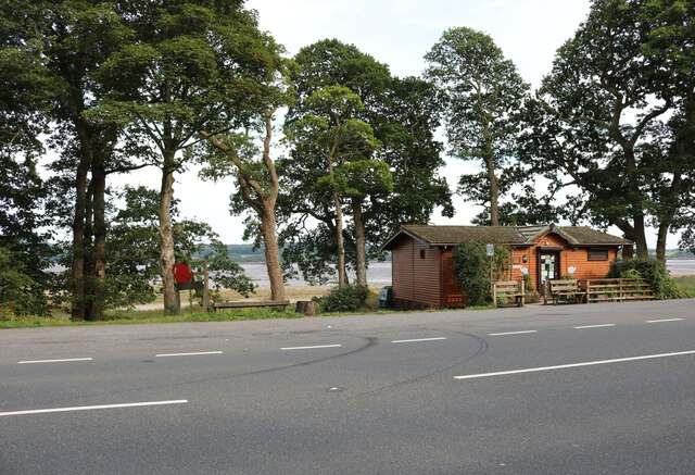
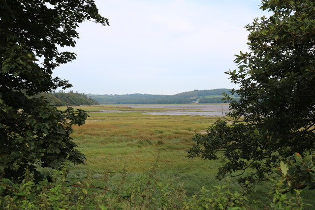
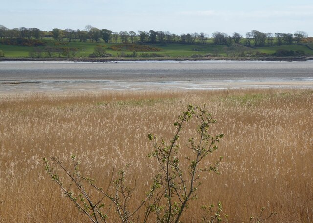
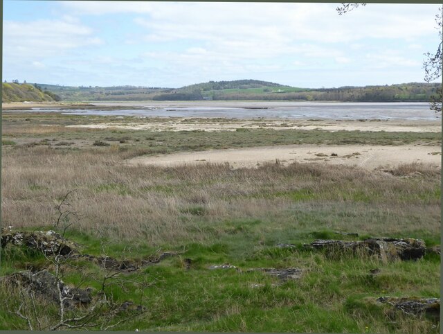
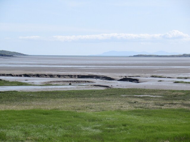
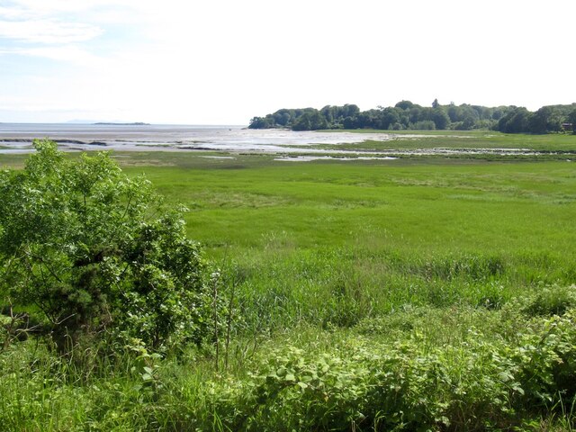
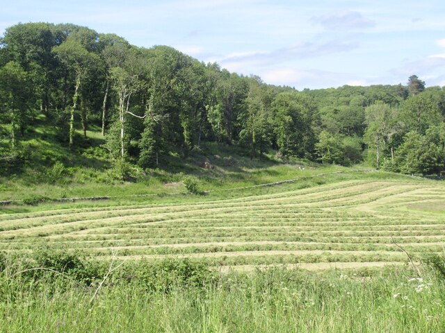
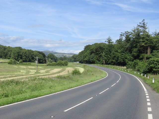
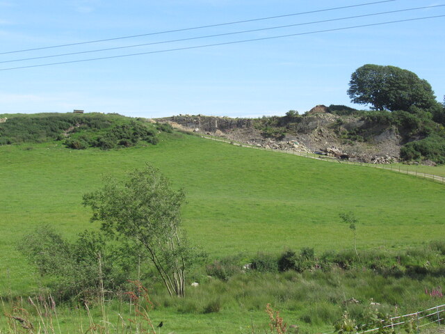
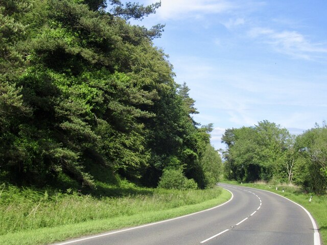
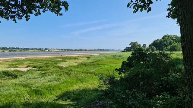
Drummuckloch Wood, located in Kirkcudbrightshire, Scotland, is a captivating forest that spans across a vast area of approximately 100 acres. Nestled in the heart of the scenic Galloway Hills, this enchanting woodland is a sight to behold for nature enthusiasts and adventure seekers alike.
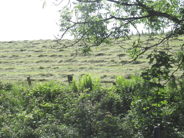
The wood is primarily composed of a mix of native tree species, including oak, birch, and rowan, which create a rich tapestry of colors during the changing seasons. The dense foliage provides a haven for a diverse range of wildlife, making it a popular spot for birdwatching and nature photography.
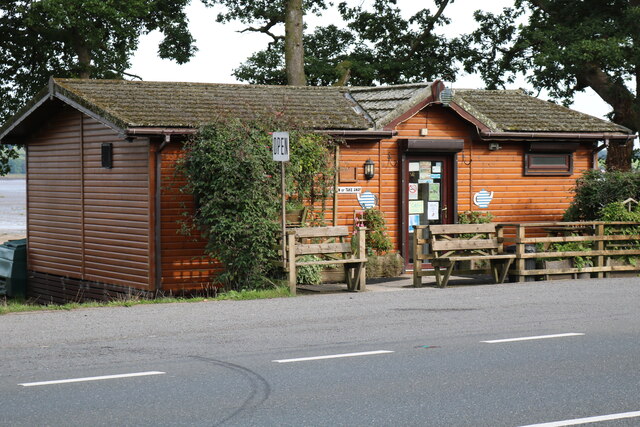
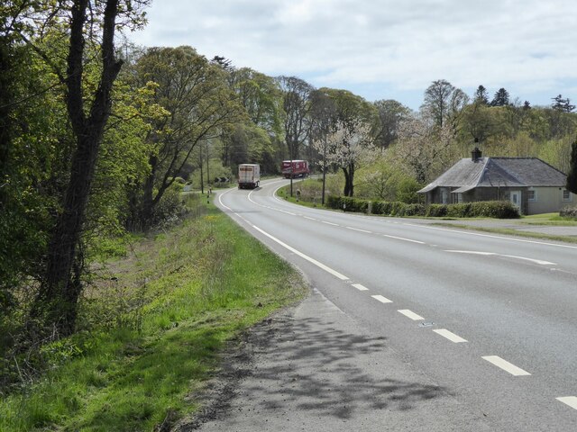
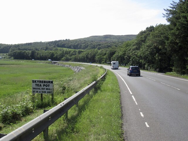
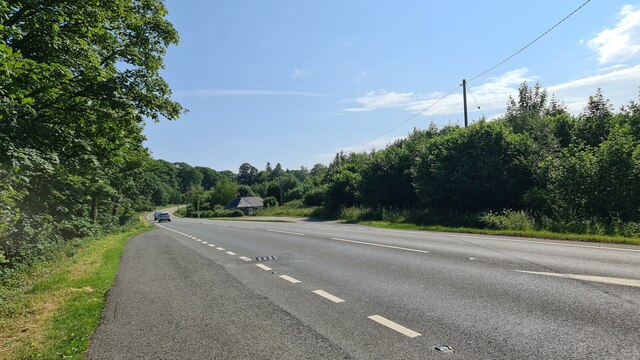
Traversing through Drummuckloch Wood, visitors can explore a network of well-maintained footpaths that wind their way through the forest. These paths offer a chance to immerse oneself in the tranquility of nature, with the gentle rustling of leaves and the occasional chirping of birds serving as the soundtrack to one's journey.
One of the highlights of Drummuckloch Wood is the breathtaking waterfall known as the Black Linn. This stunning natural feature cascades down a rocky outcrop, creating a mesmerizing spectacle that draws visitors to its beauty. The area surrounding the waterfall has become a popular picnic spot, allowing visitors to relax and enjoy the picturesque surroundings.
Drummuckloch Wood is also steeped in history, with remnants of an ancient settlement, including a stone circle and burial mounds, adding an air of mystique to the forest. These historical features provide a glimpse into the lives of those who lived in this area centuries ago, further enhancing the allure of the wood.
In summary, Drummuckloch Wood is a captivating and diverse woodland that offers visitors a chance to connect with nature, witness stunning scenery, and explore the rich history of the area.
If you have any feedback on the listing, please let us know in the comments section below.
Drummuckloch Wood Images
Images are sourced within 2km of 54.865869/-4.2353398 or Grid Reference NX5654. Thanks to Geograph Open Source API. All images are credited.
Drummuckloch Wood is located at Grid Ref: NX5654 (Lat: 54.865869, Lng: -4.2353398)
Unitary Authority: Dumfries and Galloway
Police Authority: Dumfries and Galloway
What 3 Words
///fence.outfit.flamenco. Near Kirkcudbright, Dumfries & Galloway
Nearby Locations
Related Wikis

Ardwall House
Ardwall House is an eighteenth-century mansion near Gatehouse of Fleet in Dumfries and Galloway, Scotland. Built in 1762 for the McCullochs of Ardwall...

Anwoth Parish Church
Anwoth Parish Church was built in 1826 to serve the parish of Anwoth in Dumfries and Galloway, Scotland. Designed by Walter Newall, it replaced Anwoth...
Anwoth
Anwoth is a settlement near the Solway Firth in the historic county of Kirkcudbrightshire, southwest Scotland, within a parish of the same name in the...
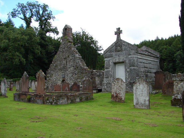
Anwoth Old Church
Anwoth Old Church is a ruined church building which was built in 1626 to serve the parish of Anwoth in Dumfries and Galloway, Scotland. It is roofless...
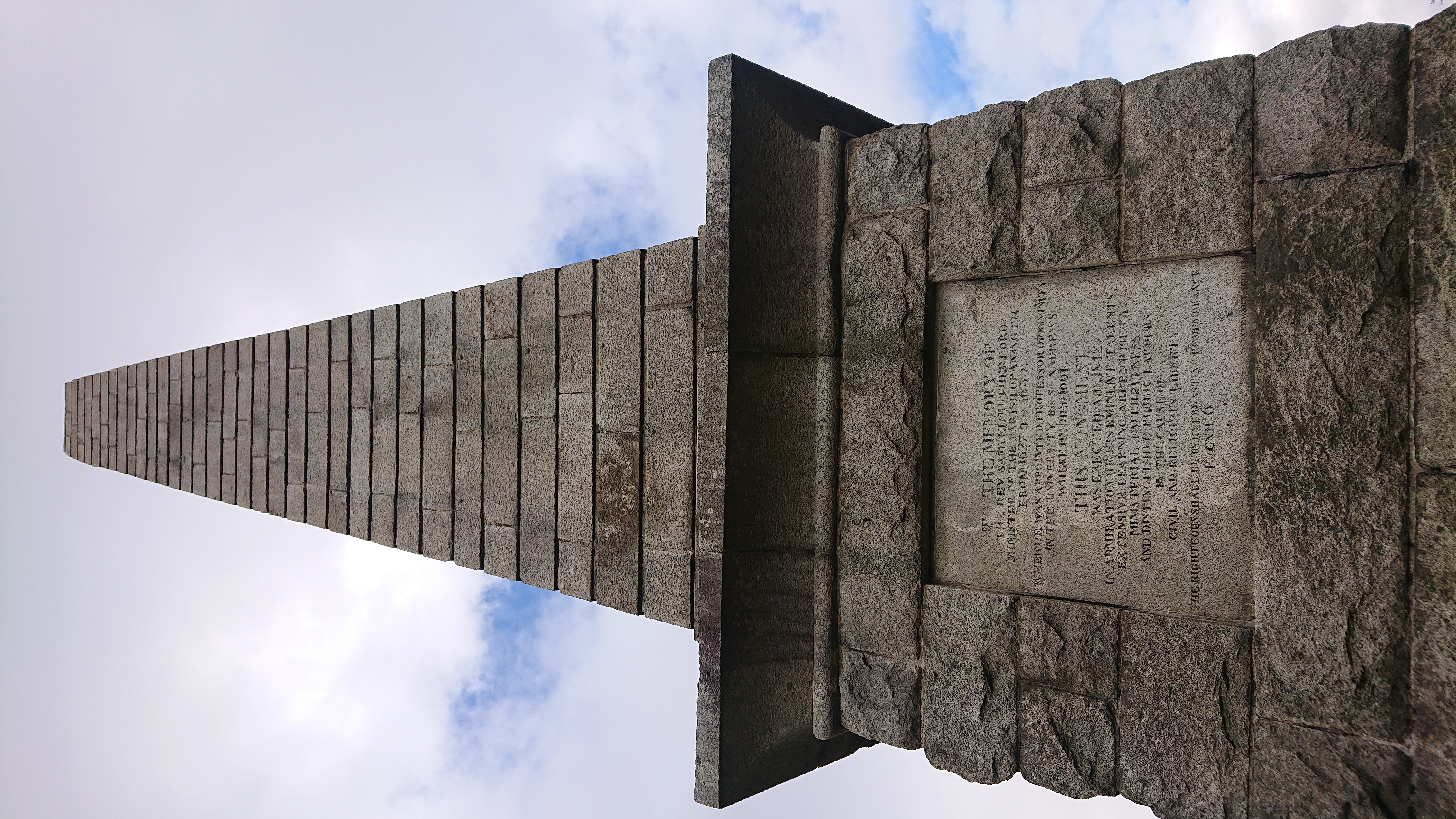
Rutherford's Monument
Rutherford's Monument is a commemorative monument between Anwoth and Gatehouse of Fleet in Dumfries and Galloway, Scotland. It is dedicated to the 17th...

Cardoness Castle
Cardoness Castle is a well-preserved 15th-century tower house just south west of Gatehouse of Fleet, in the historical county of Kirkcudbrightshire in...

Trusty's Hill
Trusty's Hill is a small vitrified hillfort about a mile to the west of the present-day town of Gatehouse of Fleet, in the parish of Anwoth in the Stewartry...

Cally Palace
Cally Palace, formerly known as Cally House, is an 18th-century country house in the historical county of Kirkcudbrightshire in Dumfries and Galloway...
Nearby Amenities
Located within 500m of 54.865869,-4.2353398Have you been to Drummuckloch Wood?
Leave your review of Drummuckloch Wood below (or comments, questions and feedback).