Lagganmullan Wood
Wood, Forest in Kirkcudbrightshire
Scotland
Lagganmullan Wood
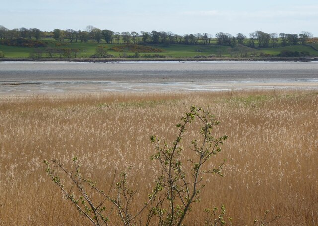
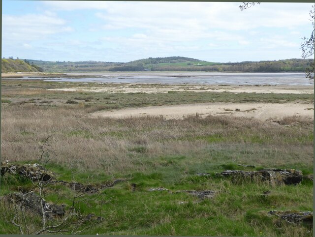
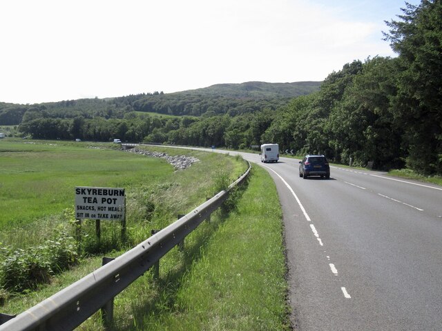
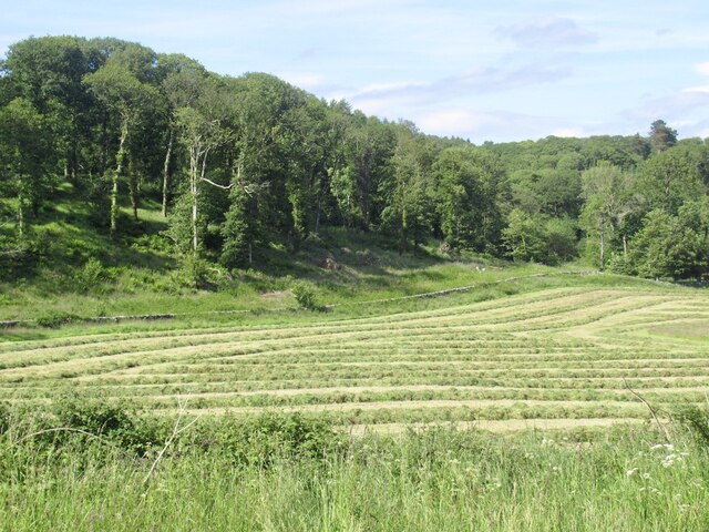
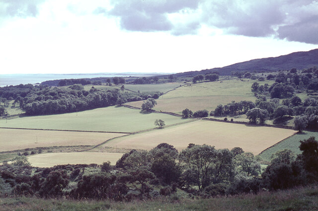
Lagganmullan Wood is a picturesque forest located in Kirkcudbrightshire, Scotland. Situated near the town of Kirkcudbright, the wood covers an area of approximately 40 hectares and is a popular destination for nature lovers and outdoor enthusiasts.
The wood is characterized by a diverse range of tree species, including oak, beech, ash, and birch, which create a rich tapestry of colors throughout the seasons. The dense canopy provides a sheltered habitat for a variety of wildlife, such as red squirrels, roe deer, and a myriad of bird species.
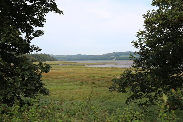
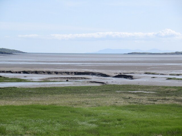
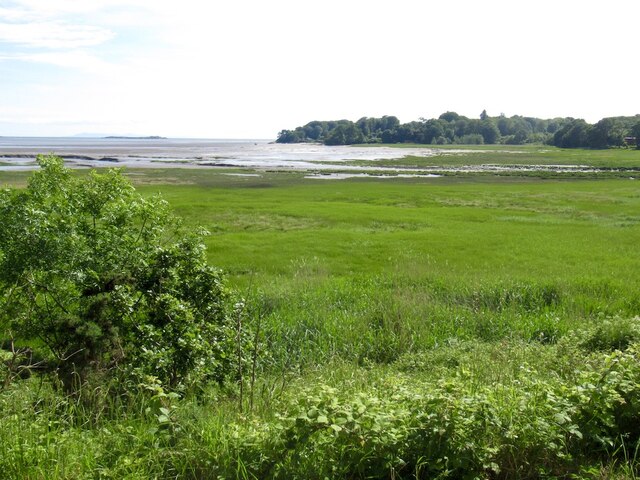
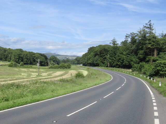
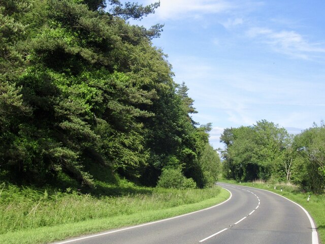
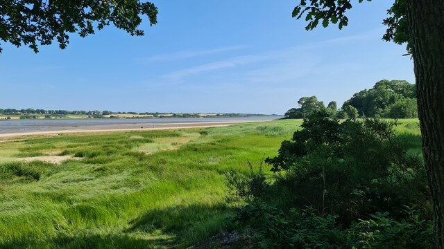
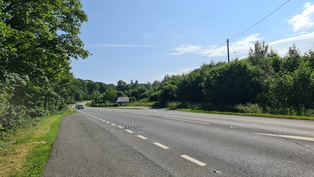
The wood boasts a network of well-maintained trails, allowing visitors to explore its beauty on foot. These paths wind through the tranquil woodland, offering stunning views of the surrounding countryside and the nearby Loch Fergus. Nature enthusiasts can also find a diverse array of flora, including bluebells, foxgloves, and wild garlic, which add to the wood's charm.
Lagganmullan Wood is not only a haven for nature lovers but also a site of historical significance. The remains of an Iron Age fort can be found within the wood, providing a glimpse into the area's ancient past.
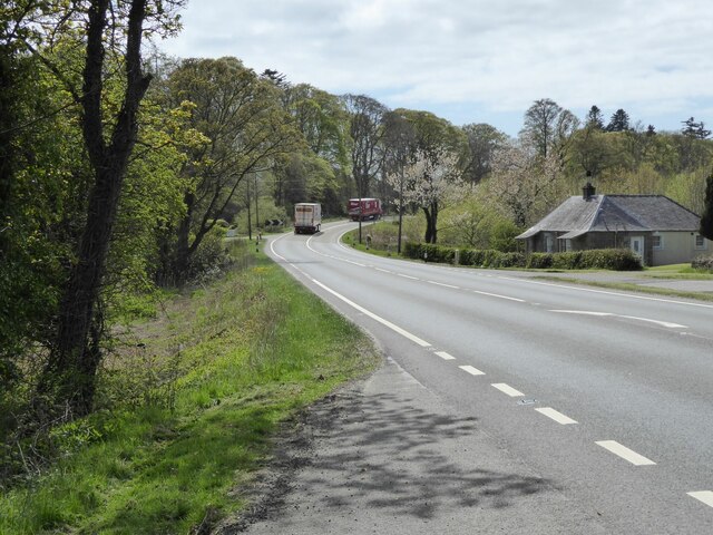
Due to its accessibility and natural beauty, Lagganmullan Wood attracts visitors throughout the year. Whether it's a leisurely stroll, a family picnic, or birdwatching, this woodland gem offers a serene escape from the hustle and bustle of everyday life.
If you have any feedback on the listing, please let us know in the comments section below.
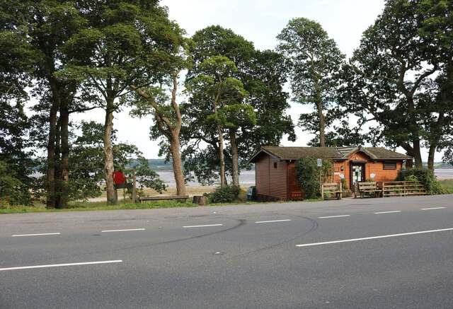
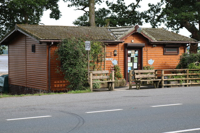
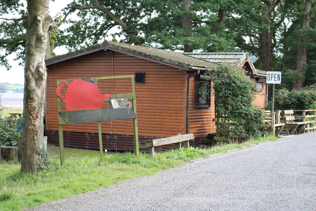
Lagganmullan Wood Images
Images are sourced within 2km of 54.868556/-4.235395 or Grid Reference NX5654. Thanks to Geograph Open Source API. All images are credited.
Lagganmullan Wood is located at Grid Ref: NX5654 (Lat: 54.868556, Lng: -4.235395)
Unitary Authority: Dumfries and Galloway
Police Authority: Dumfries and Galloway
What 3 Words
///plotting.deliver.character. Near Kirkcudbright, Dumfries & Galloway
Nearby Locations
Related Wikis

Ardwall House
Ardwall House is an eighteenth-century mansion near Gatehouse of Fleet in Dumfries and Galloway, Scotland. Built in 1762 for the McCullochs of Ardwall...

Anwoth Parish Church
Anwoth Parish Church was built in 1826 to serve the parish of Anwoth in Dumfries and Galloway, Scotland. Designed by Walter Newall, it replaced Anwoth...
Anwoth
Anwoth is a settlement near the Solway Firth in the historic county of Kirkcudbrightshire, southwest Scotland, within a parish of the same name in the...
Anwoth Old Church
Anwoth Old Church is a ruined church building which was built in 1626 to serve the parish of Anwoth in Dumfries and Galloway, Scotland. It is roofless...
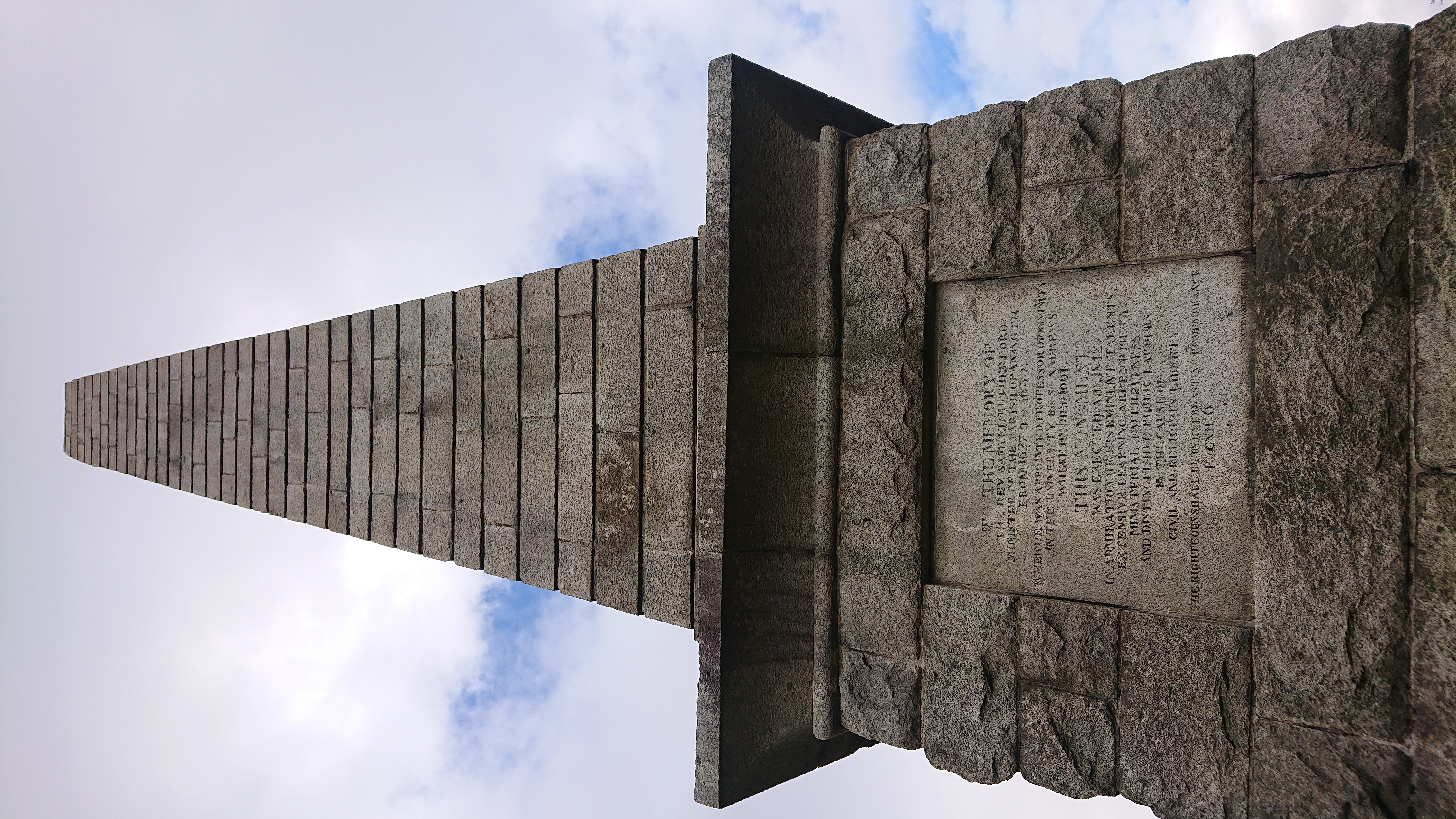
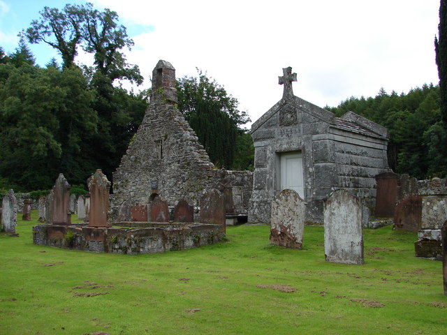
Rutherford's Monument
Rutherford's Monument is a commemorative monument between Anwoth and Gatehouse of Fleet in Dumfries and Galloway, Scotland. It is dedicated to the 17th...

Cardoness Castle
Cardoness Castle is a well-preserved 15th-century tower house just south west of Gatehouse of Fleet, in the historical county of Kirkcudbrightshire in...

Trusty's Hill
Trusty's Hill is a small vitrified hillfort about a mile to the west of the present-day town of Gatehouse of Fleet, in the parish of Anwoth in the Stewartry...

Cally Palace
Cally Palace, formerly known as Cally House, is an 18th-century country house in the historical county of Kirkcudbrightshire in Dumfries and Galloway...
Nearby Amenities
Located within 500m of 54.868556,-4.235395Have you been to Lagganmullan Wood?
Leave your review of Lagganmullan Wood below (or comments, questions and feedback).