Dalfoil Wood
Wood, Forest in Stirlingshire
Scotland
Dalfoil Wood
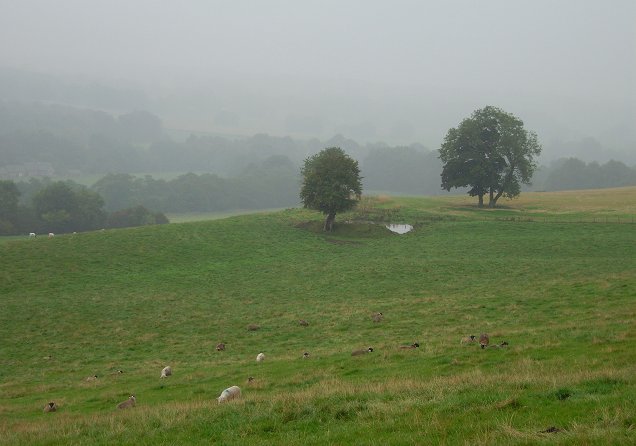
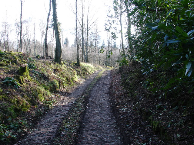
Dalfoil Wood is a picturesque forest located in Stirlingshire, Scotland. Spread over an expansive area, the wood is known for its diverse range of flora and fauna, making it a popular destination for nature enthusiasts and hikers.
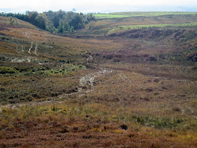
The wood is predominantly composed of native Scottish trees, including oak, birch, and Scots pine. These towering trees create a dense canopy, providing a tranquil and shaded environment for visitors. The forest floor is adorned with a carpet of moss and ferns, adding to the wood's enchanting atmosphere.
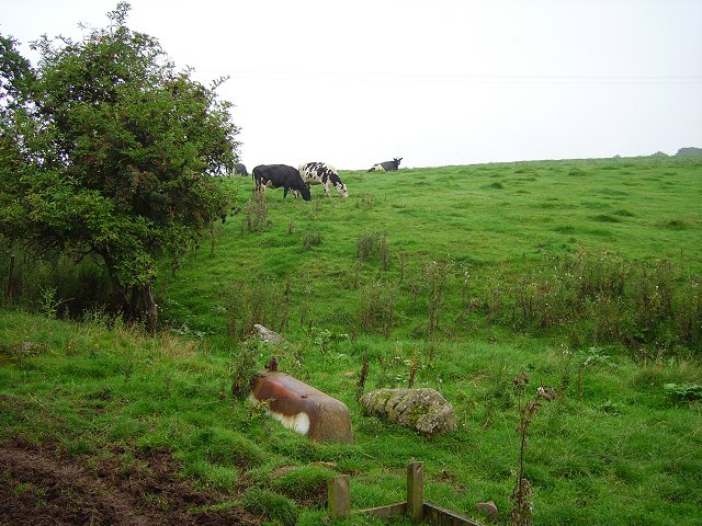
Dalfoil Wood is home to a rich variety of wildlife, including red squirrels, roe deer, and a plethora of bird species. Birdwatchers can spot woodpeckers, goldcrests, and crossbills among the branches, while lucky visitors may even catch a glimpse of the elusive pine marten or red fox.
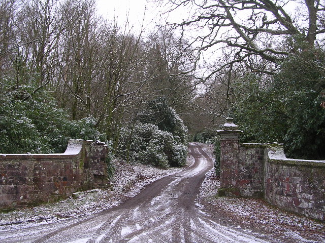
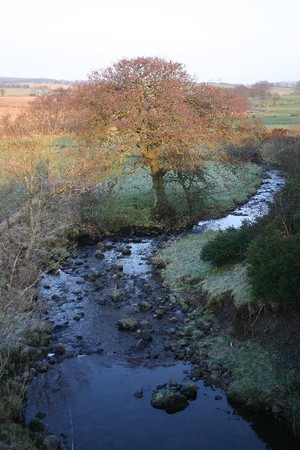
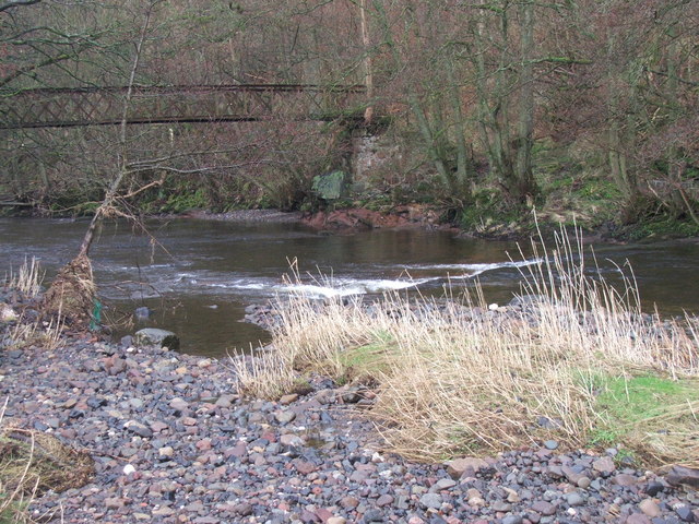
Trails meander through the wood, allowing visitors to explore its natural beauty at their own pace. These paths offer stunning views of the surrounding countryside and occasionally lead to hidden gems, such as a tranquil river or a picturesque waterfall.
The wood is open to the public year-round, making it an ideal destination for outdoor activities throughout the seasons. In the spring, the forest bursts to life with a vibrant display of bluebells and wildflowers, while autumn offers a breathtaking spectacle of colorful foliage.
Dalfoil Wood is a true haven for nature lovers, offering a peaceful retreat from the hustle and bustle of everyday life. Whether it's a leisurely stroll or an adventurous hike, this woodland paradise promises an unforgettable experience for all who visit.
If you have any feedback on the listing, please let us know in the comments section below.
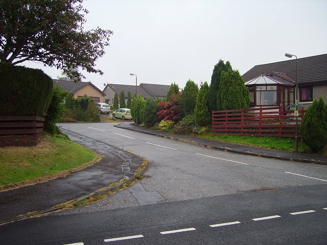
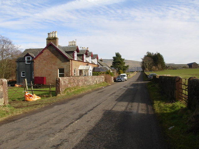
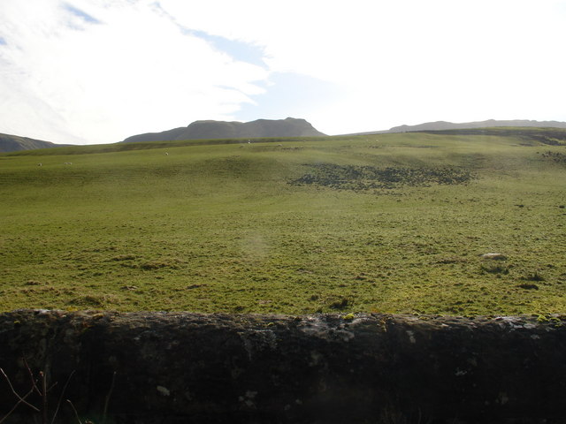
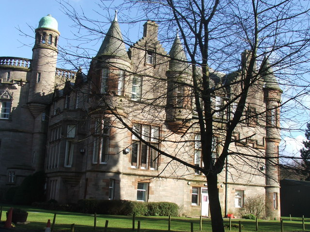
Dalfoil Wood Images
Images are sourced within 2km of 56.070198/-4.304031 or Grid Reference NS5688. Thanks to Geograph Open Source API. All images are credited.


Dalfoil Wood is located at Grid Ref: NS5688 (Lat: 56.070198, Lng: -4.304031)
Unitary Authority: Stirling
Police Authority: Forth Valley
What 3 Words
///crate.scorching.saga. Near Balfron, Stirling
Nearby Locations
Related Wikis

Ballikinrain
Ballikinrain is an independent residential school in Stirling, central Scotland. It is run by CrossReach, a social care outreach arm of the Church of Scotland...

Balfron High School
Balfron High School is a secondary school situated in the village of Balfron, approximately 18 miles (29 km) west of Stirling and 16 miles (26 km) north...

Balfron
Balfron (Scottish Gaelic: Both Fron) is a village in the Stirling council area of Scotland. It is situated near Endrick Water on the A875 road, 18 miles...

Boquhan
Boquhan (pronounced Bowhan) is a hamlet in Stirling, Scotland, sometimes known as Wester Boquhan to distinguish it from the other nearby Boquhan, near...

Balfron railway station
Balfron railway station was a railway station that served the village of Balfron in Scotland. The station was served by trains on the Strathendrick and...

Earl's Seat
Earl's Seat (578 m) is the highest hill of the Campsie Fells in Central Scotland. It lies on the border of Stirlingshire and East Dunbartonshire in central...
Buchlyvie
Buchlyvie is a village in the Stirling council area of Scotland. It is situated 14 miles (23 km) west of Stirling and 18 miles (29 km) north of Glasgow...

Killearn
Killearn (Scottish Gaelic: Cill Fhearann, from orig. Ceann Fhearann, "Head/End of (the) Land/Territory" – until the 15th century when Ceann was replaced...
Nearby Amenities
Located within 500m of 56.070198,-4.304031Have you been to Dalfoil Wood?
Leave your review of Dalfoil Wood below (or comments, questions and feedback).