Kilday's Wood
Wood, Forest in Ross-shire
Scotland
Kilday's Wood
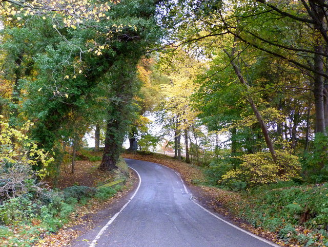
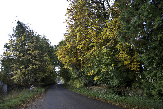
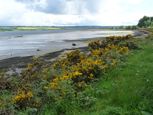
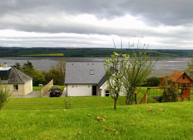
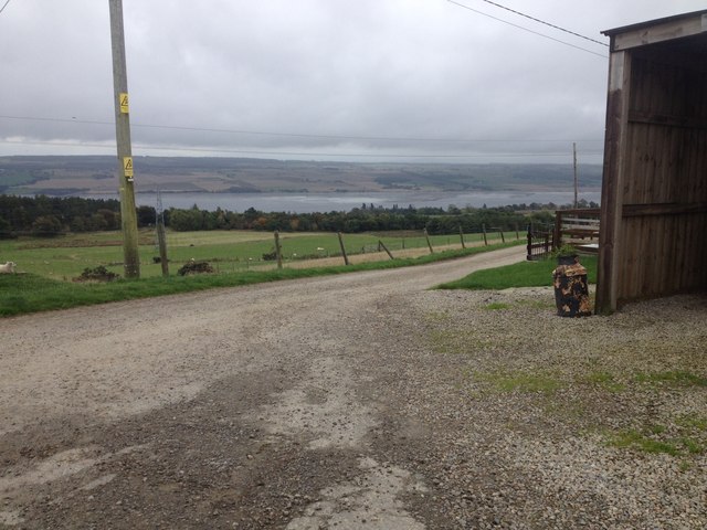
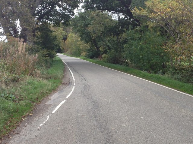
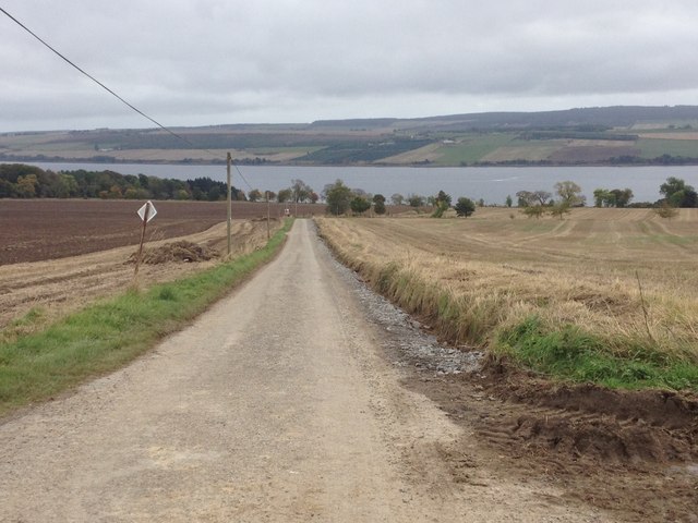
Kilday's Wood is a picturesque woodland located in Ross-shire, a county in the Scottish Highlands. Spanning approximately 100 acres, this enchanting forest is a haven of natural beauty and tranquility.
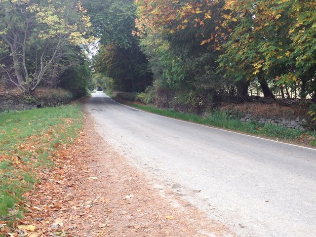
The wood is characterized by its diverse range of native trees, including oak, birch, hazel, and rowan. These towering trees create a dense canopy, providing shade and shelter to an array of wildlife. The forest floor is adorned with a colorful carpet of wildflowers, ferns, and mosses, creating a vibrant and magical atmosphere.
Kilday's Wood is home to a variety of animal species, making it an ideal spot for nature enthusiasts and wildlife lovers. Visitors may spot red squirrels darting through the branches, or catch a glimpse of roe deer gracefully bounding through the undergrowth. The wood is also a haven for birdlife, with species such as woodpeckers, owls, and thrushes frequently seen or heard.
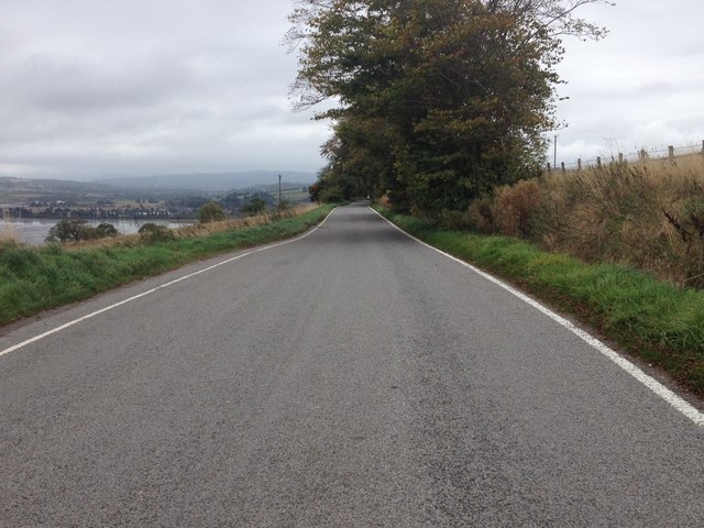
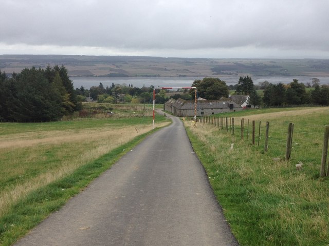
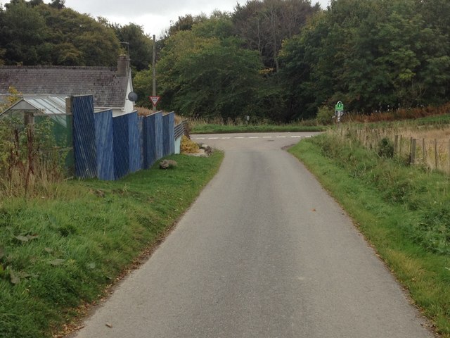
The woodland offers a network of well-maintained trails, allowing visitors to explore its serene surroundings at their own pace. These paths wind through the forest, offering glimpses of small streams and cascading waterfalls along the way. There are also designated picnic areas, providing an opportunity to relax and enjoy the peaceful ambiance.
Kilday's Wood is not only a natural treasure but also a place of historical significance. The area has been inhabited since ancient times, and there are remnants of old settlements and archaeological sites scattered throughout the wood. These add an intriguing historical dimension to the already captivating woodland.
Overall, Kilday's Wood is a hidden gem in Ross-shire, offering visitors a chance to immerse themselves in the beauty of nature and explore its rich history.
If you have any feedback on the listing, please let us know in the comments section below.
Kilday's Wood Images
Images are sourced within 2km of 57.632591/-4.3973799 or Grid Reference NH5662. Thanks to Geograph Open Source API. All images are credited.


Kilday's Wood is located at Grid Ref: NH5662 (Lat: 57.632591, Lng: -4.3973799)
Unitary Authority: Highland
Police Authority: Highlands and Islands
What 3 Words
///seriously.transmits.stubbed. Near Dingwall, Highland
Nearby Locations
Related Wikis

Lemlair House
Lemlair House is a mansion house in the parish of Kiltearn, Ross-shire, in the Highland council area of the Scottish Highlands. == History == A 17th century...

Mountgerald
Mountgerald (Scottish Gaelic: An Claon) is a small hamlet which lies close to the head of the Cromarty Firth, on the west coast. It is 2 miles (3 km)...

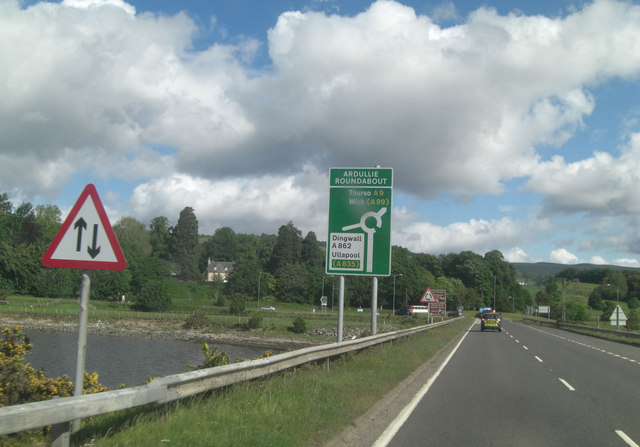
Ardullie
Ardullie (Scottish Gaelic: Àird Ilidh) is a village in Ross-shire, in the Highland council area of Scotland. It is on the north shore of the Cromarty Firth...

Foulis Castle
Foulis Castle is situated two miles south-west of Evanton in the parish of Kiltearn, Ross and Cromarty, Scotland. It is a white washed mansion that incorporates...

Cromarty Bridge
The Cromarty Bridge is a road bridge over the Cromarty Firth in Scotland. == History == === Design === The bridge joins a junction with the B9163 to the...

Foulis railway station
Foulis railway station served the village of Ardullie, Highland, Scotland from 1863 to 1964 on the Inverness and Ross-shire Railway. == History == The...
Swordale, Ross-shire
Swordale is a very small village which lies below the hill of the same name and above the River Sgitheach, in the parish of Kiltearn in eastern Ross-shire...

Tulloch Castle
Tulloch Castle is located in the town of Dingwall in the Highlands of Scotland. It dates at least to the late 14th century as the birthplace of Mariota...
Nearby Amenities
Located within 500m of 57.632591,-4.3973799Have you been to Kilday's Wood?
Leave your review of Kilday's Wood below (or comments, questions and feedback).