Carlincraig Plantation
Wood, Forest in Ayrshire
Scotland
Carlincraig Plantation
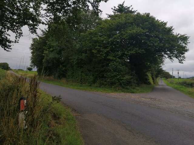
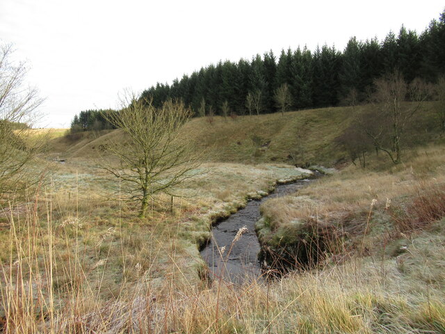
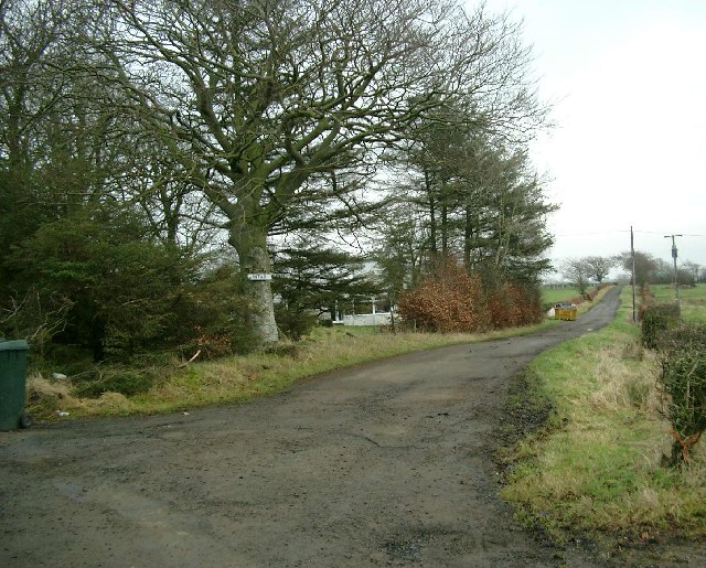
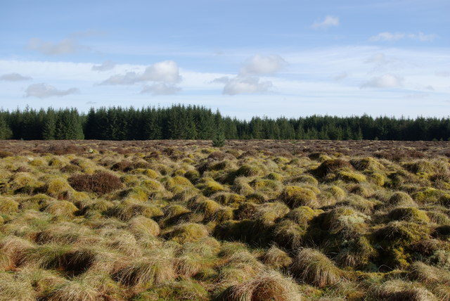
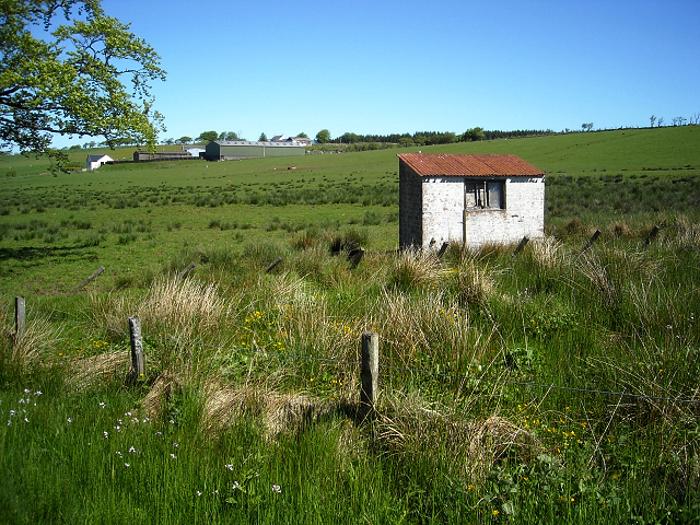
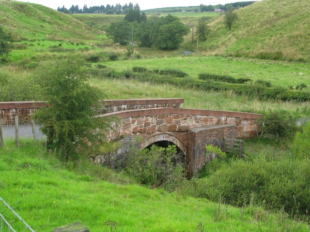
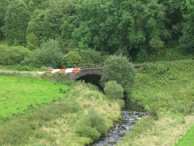
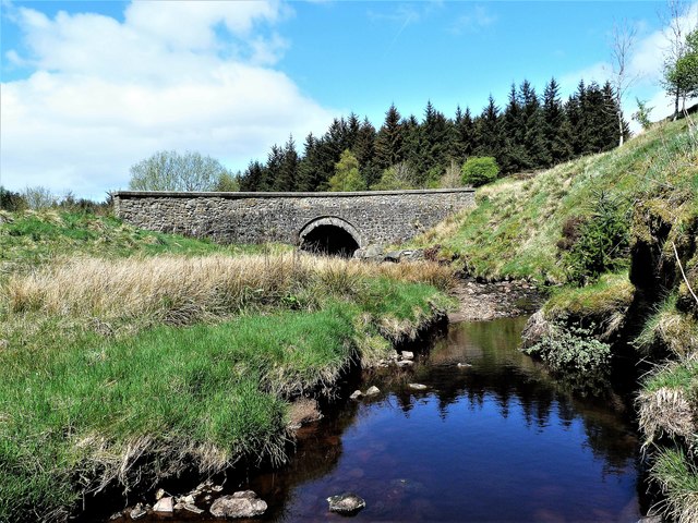
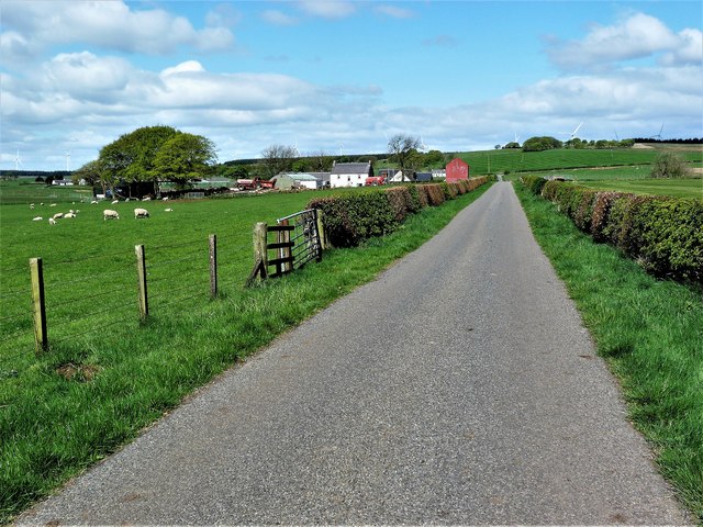
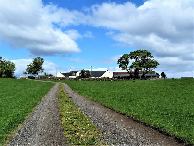
Carlincraig Plantation is a picturesque woodland located in Ayrshire, Scotland. Covering an area of approximately 100 acres, it is a delightful destination for outdoor enthusiasts and nature lovers alike. The plantation is nestled within the rolling hills and lush greenery of the Scottish countryside, offering visitors a tranquil and immersive experience.
The woodland is primarily composed of native broadleaf trees, including oak, birch, and beech, which create a dense and diverse canopy. These trees provide a habitat for a wide range of flora and fauna, making Carlincraig Plantation a haven for wildlife. Visitors can expect to encounter various bird species such as woodpeckers, owls, and songbirds, as well as small mammals like squirrels and rabbits.
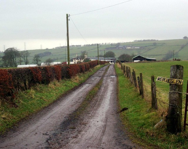
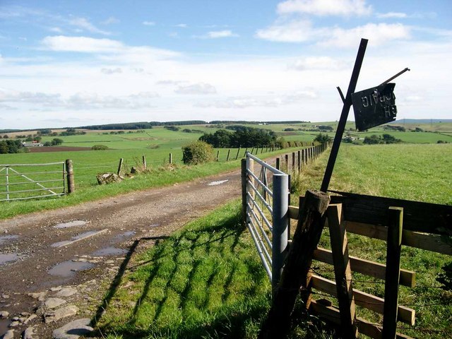
Well-maintained trails wind their way through the plantation, allowing visitors to explore its natural beauty at their own pace. These paths offer a mix of easy strolls and more challenging hikes, catering to all levels of fitness and ability. Along the way, there are several viewpoints that offer breathtaking vistas of the surrounding countryside, making it a popular spot for photography enthusiasts.
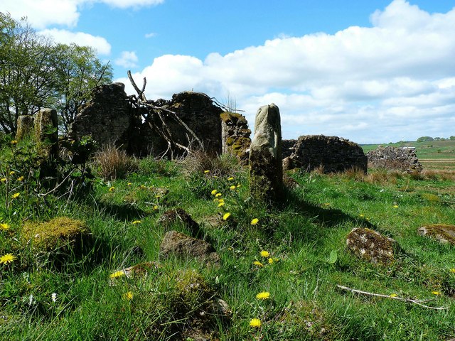
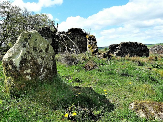
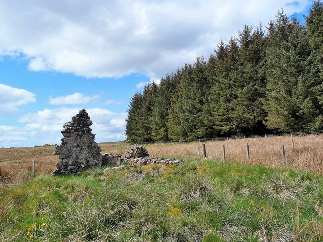
Carlincraig Plantation also boasts a rich historical heritage. It was once part of a larger estate and has remnants of old stone walls and ruins that harken back to its past. These historical features add a touch of intrigue and provide an opportunity for visitors to delve into the area's fascinating history.
Whether it's a peaceful walk, birdwatching, or simply enjoying the tranquility of nature, Carlincraig Plantation offers a captivating experience for visitors seeking solace amidst the beauty of the Scottish woodlands.
If you have any feedback on the listing, please let us know in the comments section below.
Carlincraig Plantation Images
Images are sourced within 2km of 55.635583/-4.2738201 or Grid Reference NS5640. Thanks to Geograph Open Source API. All images are credited.
Carlincraig Plantation is located at Grid Ref: NS5640 (Lat: 55.635583, Lng: -4.2738201)
Unitary Authority: East Ayrshire
Police Authority: Ayrshire
What 3 Words
///extension.mats.lanes. Near Darvel, East Ayrshire
Nearby Locations
Related Wikis
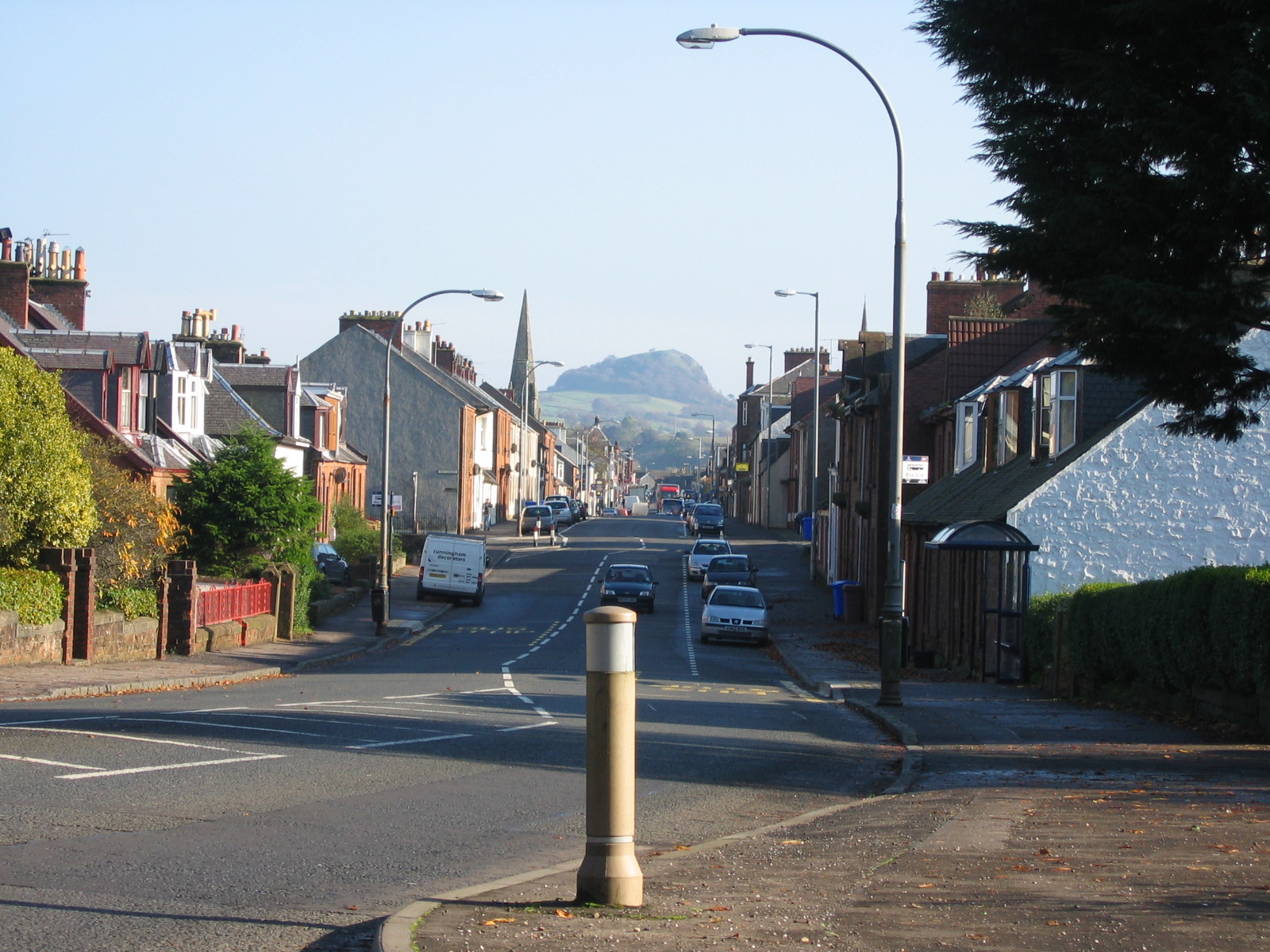
Darvel
Darvel (Scots: Dairvel, Scottish Gaelic: Darbhail) is a small town in East Ayrshire, Scotland. It is at the eastern end of the Irvine Valley and is sometimes...

Darvel Music Festival
Darvel Music Festival is a music festival that has been held in the town of Darvel, East Ayrshire, Ayrshire, Scotland, since 2002. The Darvel Music Festival...

Darvel Town Hall
Darvel Town Hall is a municipal building in West Main Street, Darvel, East Ayrshire, Scotland. The structure, which is used as a library and a community...
Darvel F.C.
Darvel Football Club are a Scottish football club based in the town of Darvel, Ayrshire. Nicknamed "The Vale" and formed in 1889, the club play at Recreation...
Priestland
Priestland is a village in East Ayrshire, Scotland. It has a population of 121 (Census 2001) and lies on the A71, around two miles west of Loudoun Hill...

Whitelee Wind Farm
Whitelee Wind Farm is a windfarm on the Eaglesham moor in Scotland. The main visitor centre is located in East Renfrewshire, but the majority of turbines...

Newmilns Tower
Newmilns Tower is a 16th-century tower house, on Main Street, Newmilns, north of the River Irvine, East Ayrshire, Scotland. It may also be called Newmilns...
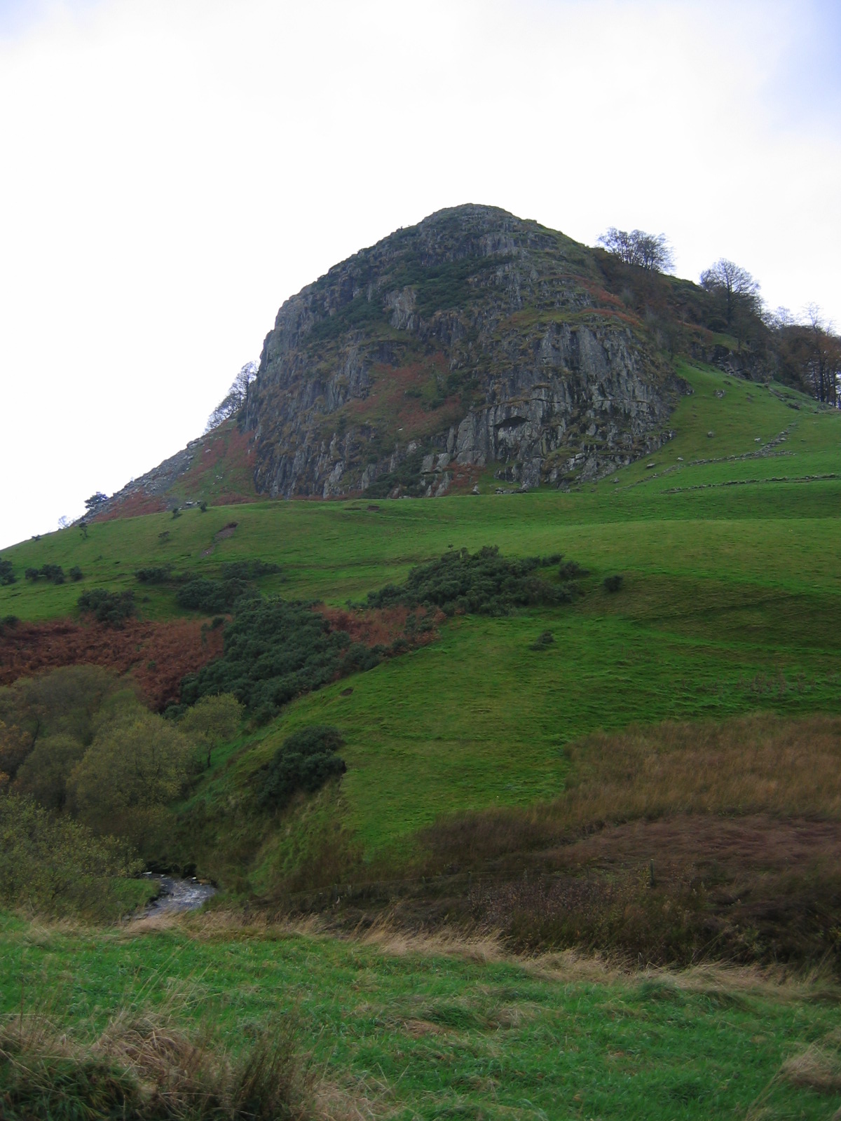
Loudoun Hill
Loudoun Hill (Scottish Gaelic: Beinn Lùghdain; also commonly Loudounhill) is a volcanic plug in East Ayrshire, Scotland. It is located near the head of...
Nearby Amenities
Located within 500m of 55.635583,-4.2738201Have you been to Carlincraig Plantation?
Leave your review of Carlincraig Plantation below (or comments, questions and feedback).