North Balfern Wood
Wood, Forest in Wigtownshire
Scotland
North Balfern Wood
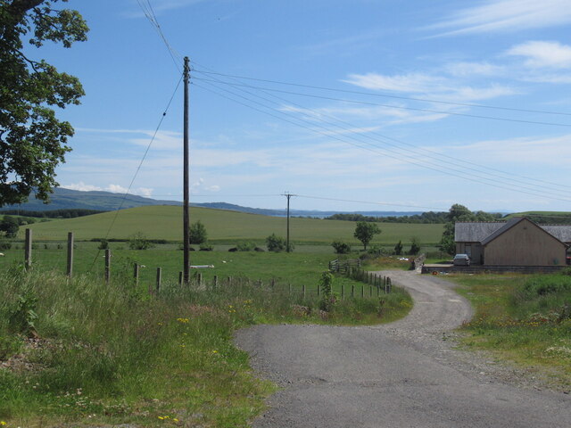
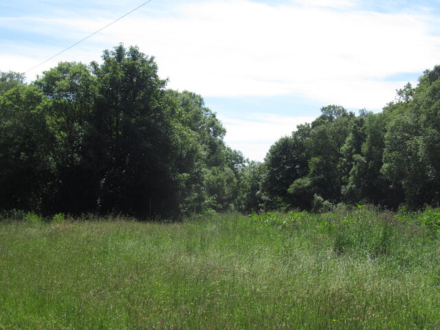
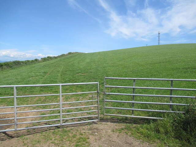
North Balfern Wood, located in Wigtownshire, is an enchanting forest that spans over a vast area of undulating terrain. This woodland treasure offers an array of natural wonders, making it a popular destination for nature enthusiasts and those seeking tranquility.
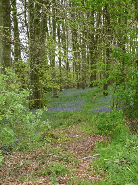
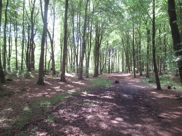
The wood boasts a diverse range of tree species, including towering oaks, majestic beeches, and fragrant pines. The thick canopy created by the interwoven branches provides a haven for a variety of wildlife. Birdsong fills the air, with species such as woodpeckers, owls, and warblers making their home here. Small mammals like squirrels, badgers, and foxes can also be spotted, while elusive deer occasionally grace the forest with their presence.
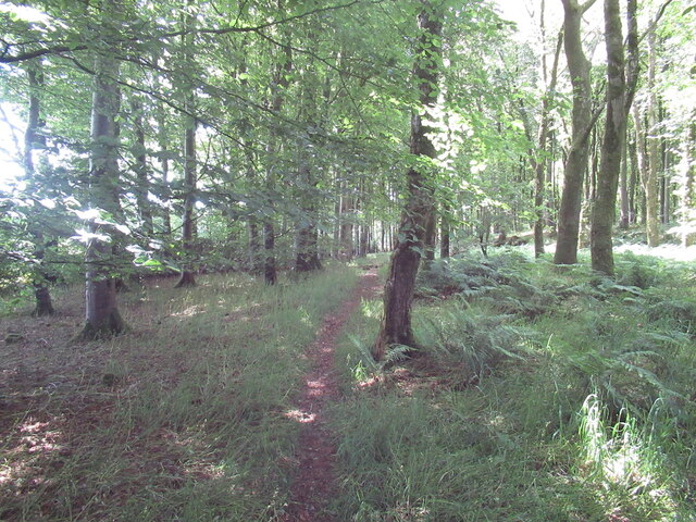
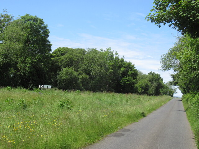
Traversing through North Balfern Wood, visitors can explore a network of well-maintained trails. These paths wind through lush undergrowth, carpeted with moss, ferns, and wildflowers, creating a picturesque landscape. Along the way, babbling brooks and trickling streams add to the serene ambiance.
The wood's natural beauty is further enhanced by the presence of an ancient megalithic stone circle nestled within its depths. This archaeological site, believed to date back thousands of years, adds a touch of mystique to the woodland's allure and attracts history enthusiasts and curious explorers.
North Balfern Wood is not only a haven for nature-lovers but also serves as a valuable ecosystem, contributing to the overall biodiversity of the region. It stands as a testament to the enduring beauty of Scotland's woodlands and is a must-visit destination for anyone seeking solace in nature's embrace.
If you have any feedback on the listing, please let us know in the comments section below.
North Balfern Wood Images
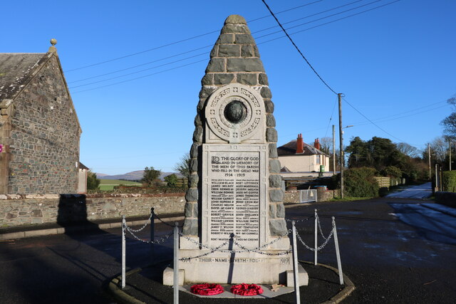
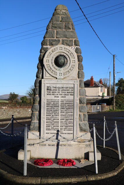
Images are sourced within 2km of 54.826399/-4.4469108 or Grid Reference NX4250. Thanks to Geograph Open Source API. All images are credited.


North Balfern Wood is located at Grid Ref: NX4250 (Lat: 54.826399, Lng: -4.4469108)
Unitary Authority: Dumfries and Galloway
Police Authority: Dumfries and Galloway
What 3 Words
///importers.cornfield.self. Near Whithorn, Dumfries & Galloway
Nearby Locations
Related Wikis

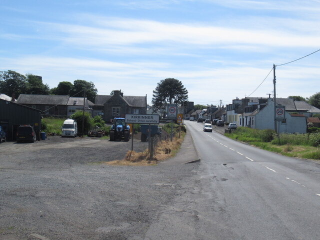
Kirkinner
Kirkinner (Scottish Gaelic: Cille Chainneir, IPA: [ˈkʲʰiʎə ˈxaɲɪɾʲ]) is a village in the Machars, in the historical county of Wigtownshire in Dumfries...

Kirkinner railway station
Kirkinner was a railway station on the Wigtownshire Railway branch line, from Newton Stewart to Whithorn, of the Portpatrick and Wigtownshire Joint Railway...

Whauphill railway station
Whauphill (NX 40462 49887) was a railway station on the Wigtownshire Railway branch line, from Newton Stewart to Whithorn, of the Portpatrick and Wigtownshire...

RAF Wigtown
Royal Air Force Wigtown, or more simply RAF Wigtown, is a former Royal Air Force station within the Dumfries and Galloway region of southwest Scotland...

Sorbie railway station
Sorbie (NX4351447562) was a railway station that was located close to the village of Sorbie on the then Wigtownshire Railway branch line to Whithorn, from...

Bladnoch Distillery and Visitor Centre
Bladnoch distillery is a single malt Scotch whisky distillery in south west Scotland. It is one of six remaining Lowland distilleries, located at Bladnoch...

Bladnoch, Wigtownshire
Bladnoch (Scottish Gaelic: Blaidneach) is a small village on the River Bladnoch in Wigtownshire, Scotland, located just outside the county town of Wigtown...
Whauphill
Whauphill is a small village located in the historical county of Wigtownshire in the Machars, Dumfries and Galloway, Scotland.Whauphill is a hub that supports...
Nearby Amenities
Located within 500m of 54.826399,-4.4469108Have you been to North Balfern Wood?
Leave your review of North Balfern Wood below (or comments, questions and feedback).