Little Hill
Hill, Mountain in Wigtownshire
Scotland
Little Hill
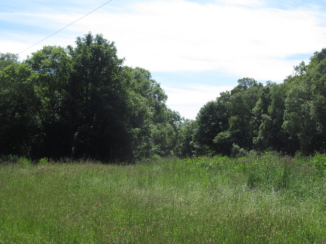
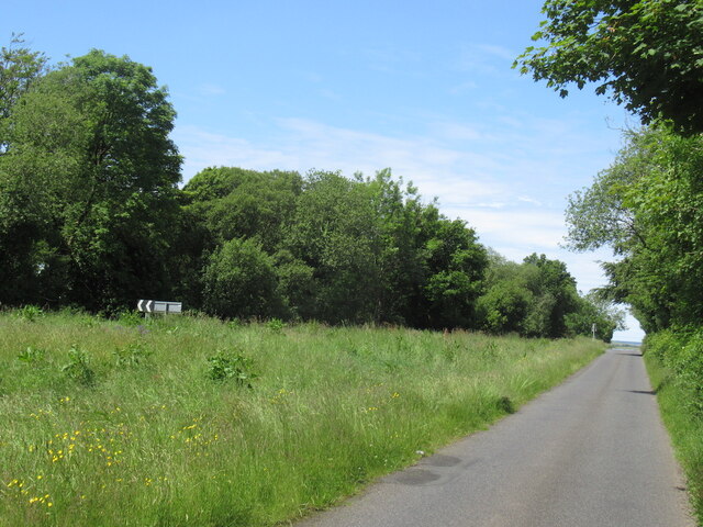
Little Hill is a prominent geographical feature located in Wigtownshire, a region in southwestern Scotland. As its name suggests, it is a small hill or mountain that rises prominently from its surroundings, providing a picturesque landscape for locals and visitors alike.
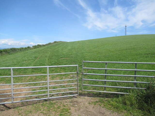
Situated in the southern part of Wigtownshire, Little Hill offers stunning panoramic views of the surrounding countryside, including the nearby towns and villages. Its elevation reaches approximately 200 meters (656 feet) above sea level, making it a notable landmark in the area.
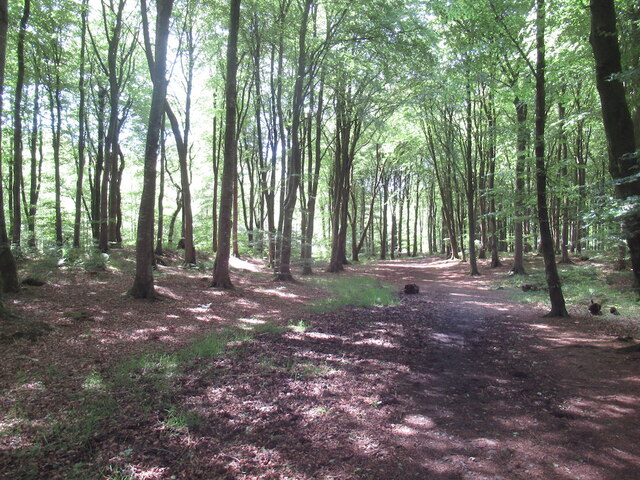
The hill is characterized by its gentle slopes and grassy terrain, which is ideal for walking, hiking, and nature enthusiasts. Its accessibility and well-maintained paths make it a popular destination for outdoor activities and recreational pursuits.
Little Hill is also known for its rich biodiversity, hosting a variety of plant and animal species. The slopes are adorned with wildflowers and native vegetation, while the hilltop provides habitat for several bird species, such as peregrine falcons and kestrels.
For those interested in local history, Little Hill holds significance as it is located near several archaeological sites. The area has seen human occupation dating back to ancient times, with the remains of ancient settlements and burial grounds being discovered in the vicinity.
Overall, Little Hill in Wigtownshire offers a delightful blend of natural beauty, recreational opportunities, and historical significance, making it a must-visit destination for nature lovers and history enthusiasts in the region.
If you have any feedback on the listing, please let us know in the comments section below.
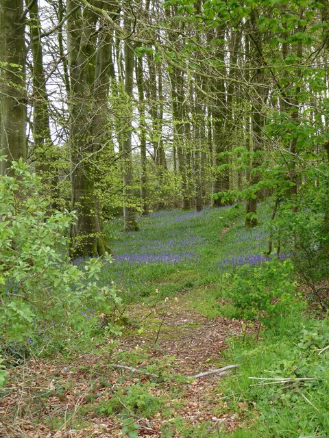
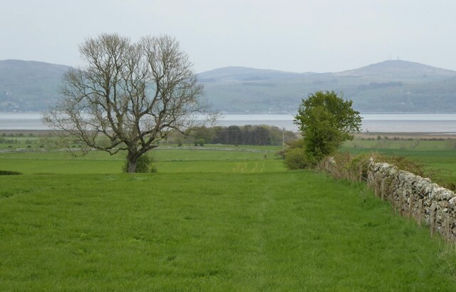
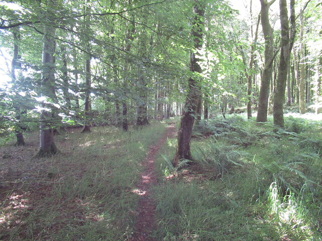
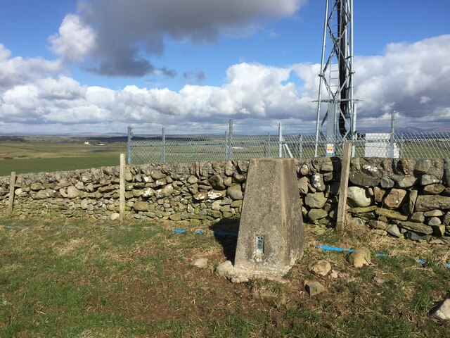
Little Hill Images
Images are sourced within 2km of 54.821531/-4.4564708 or Grid Reference NX4250. Thanks to Geograph Open Source API. All images are credited.


Little Hill is located at Grid Ref: NX4250 (Lat: 54.821531, Lng: -4.4564708)
Unitary Authority: Dumfries and Galloway
Police Authority: Dumfries and Galloway
What 3 Words
///installs.whites.abruptly. Near Whithorn, Dumfries & Galloway
Nearby Locations
Related Wikis

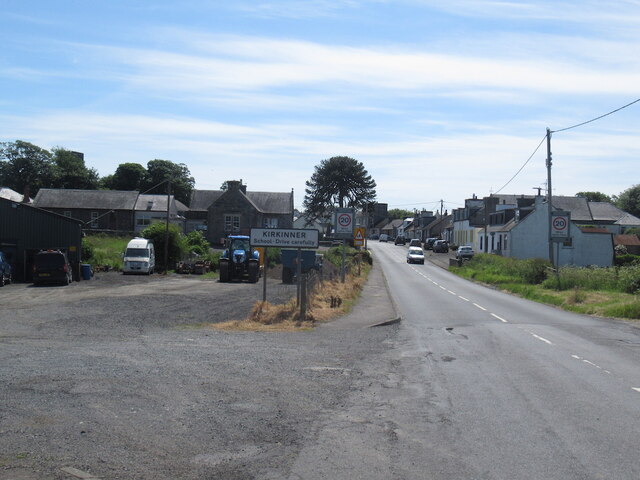
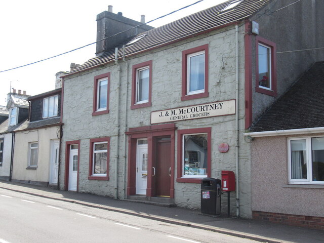
Kirkinner
Kirkinner (Scottish Gaelic: Cille Chainneir, IPA: [ˈkʲʰiʎə ˈxaɲɪɾʲ]) is a village in the Machars, in the historical county of Wigtownshire in Dumfries...

Kirkinner railway station
Kirkinner was a railway station on the Wigtownshire Railway branch line, from Newton Stewart to Whithorn, of the Portpatrick and Wigtownshire Joint Railway...

Whauphill railway station
Whauphill (NX 40462 49887) was a railway station on the Wigtownshire Railway branch line, from Newton Stewart to Whithorn, of the Portpatrick and Wigtownshire...

Sorbie railway station
Sorbie (NX4351447562) was a railway station that was located close to the village of Sorbie on the then Wigtownshire Railway branch line to Whithorn, from...
Nearby Amenities
Located within 500m of 54.821531,-4.4564708Have you been to Little Hill?
Leave your review of Little Hill below (or comments, questions and feedback).