Little Hills Wood
Wood, Forest in Wigtownshire
Scotland
Little Hills Wood
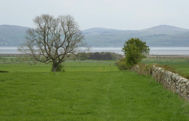
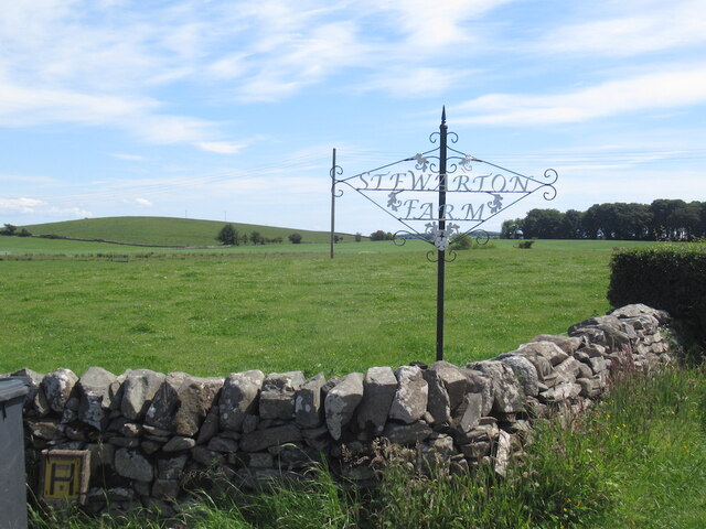
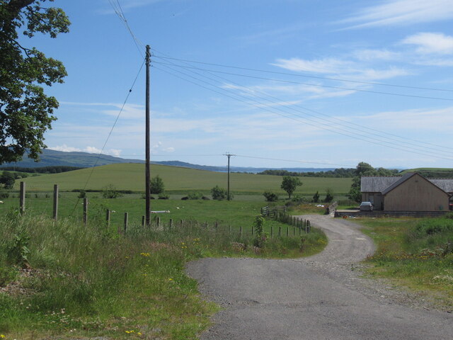
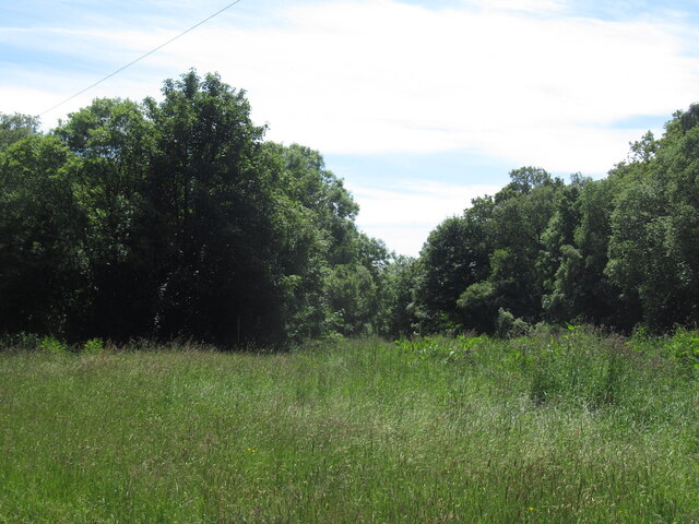
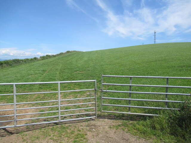
Little Hills Wood is a picturesque forest located in the region of Wigtownshire, Scotland. Covering an area of approximately 500 acres, it is nestled amidst the rolling hills and verdant landscapes that characterize this part of the country. The wood is situated just south of the village of Newton Stewart, making it easily accessible for both locals and visitors alike.
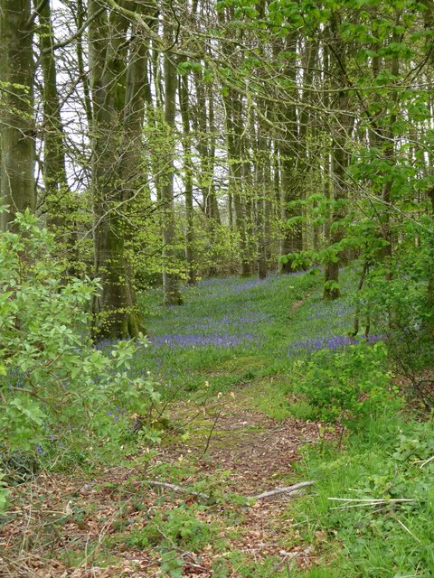
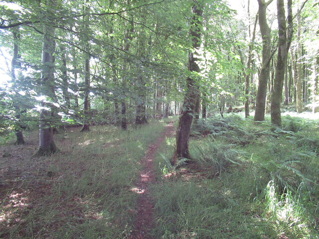
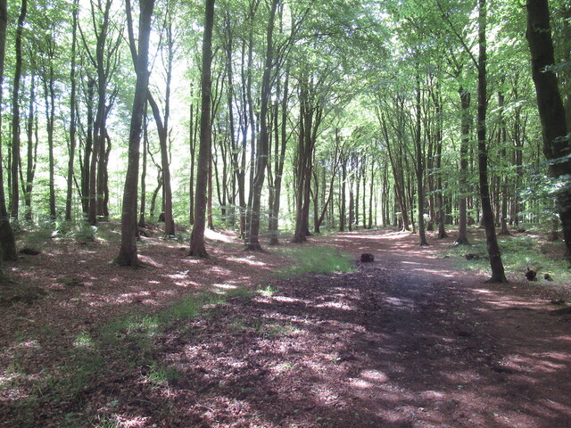
The woodland is predominantly composed of native tree species such as oak, birch, and ash, creating a diverse ecosystem that supports a wide array of flora and fauna. The dense canopy provides a haven for numerous bird species, including woodpeckers, song thrushes, and owls. It also serves as a habitat for small mammals like squirrels and hedgehogs, adding to the overall biodiversity of the area.
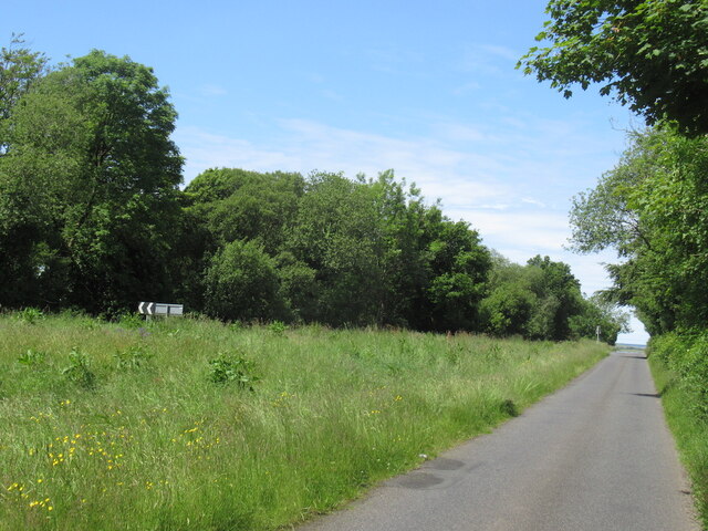
Visitors to Little Hills Wood can enjoy a variety of recreational activities. There are several well-maintained walking trails that meander through the forest, offering breathtaking views of the surrounding countryside. The tranquil atmosphere and natural beauty make it an ideal spot for nature enthusiasts, hikers, and birdwatchers. The wood is also a popular destination for picnics and family outings, with designated areas equipped with picnic tables and benches.
Little Hills Wood is managed by a local conservation organization, ensuring the preservation of its natural habitat and promoting sustainable practices. The wood serves as an important educational resource, providing opportunities for environmental education and research. With its idyllic setting and diverse wildlife, Little Hills Wood is a true gem within the Wigtownshire region, offering a peaceful retreat for those seeking to reconnect with nature.
If you have any feedback on the listing, please let us know in the comments section below.
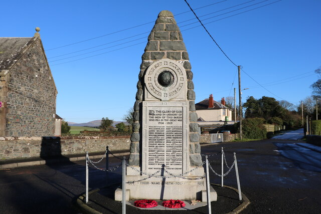
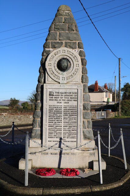
Little Hills Wood Images
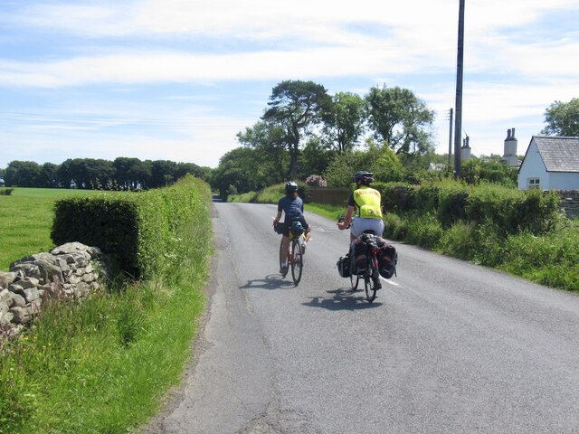
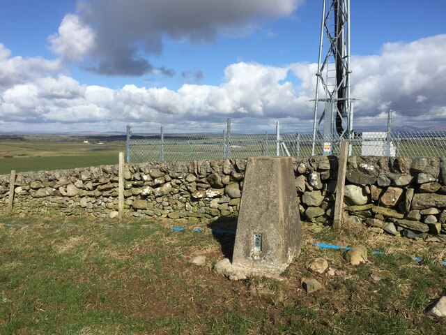
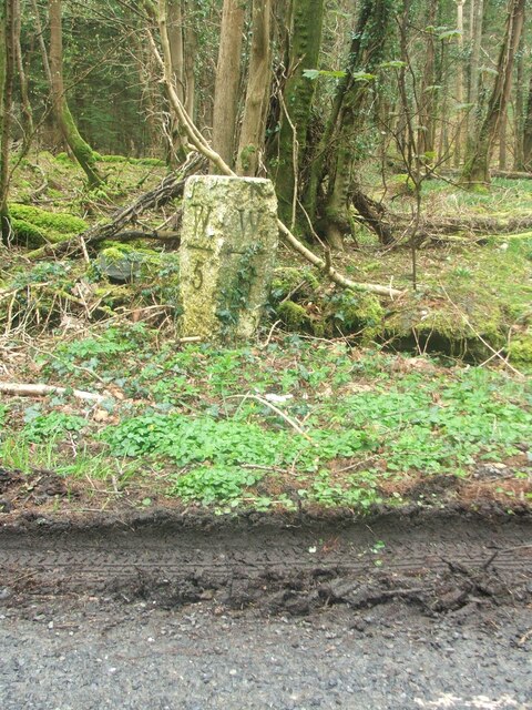
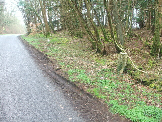
Images are sourced within 2km of 54.824087/-4.4465529 or Grid Reference NX4250. Thanks to Geograph Open Source API. All images are credited.
Little Hills Wood is located at Grid Ref: NX4250 (Lat: 54.824087, Lng: -4.4465529)
Unitary Authority: Dumfries and Galloway
Police Authority: Dumfries and Galloway
What 3 Words
///scanty.stewing.flicks. Near Whithorn, Dumfries & Galloway
Nearby Locations
Related Wikis

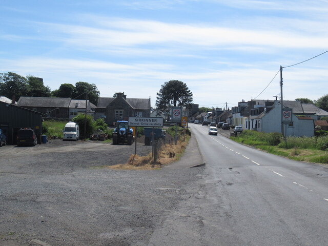
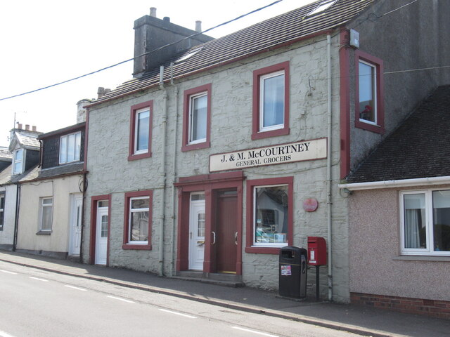
Kirkinner
Kirkinner (Scottish Gaelic: Cille Chainneir, IPA: [ˈkʲʰiʎə ˈxaɲɪɾʲ]) is a village in the Machars, in the historical county of Wigtownshire in Dumfries...

Kirkinner railway station
Kirkinner was a railway station on the Wigtownshire Railway branch line, from Newton Stewart to Whithorn, of the Portpatrick and Wigtownshire Joint Railway...

Whauphill railway station
Whauphill (NX 40462 49887) was a railway station on the Wigtownshire Railway branch line, from Newton Stewart to Whithorn, of the Portpatrick and Wigtownshire...

Sorbie railway station
Sorbie (NX4351447562) was a railway station that was located close to the village of Sorbie on the then Wigtownshire Railway branch line to Whithorn, from...

RAF Wigtown
Royal Air Force Wigtown, or more simply RAF Wigtown, is a former Royal Air Force station within the Dumfries and Galloway region of southwest Scotland...
Whauphill
Whauphill is a small village located in the historical county of Wigtownshire in the Machars, Dumfries and Galloway, Scotland.Whauphill is a hub that supports...

Bladnoch Distillery and Visitor Centre
Bladnoch distillery is a single malt Scotch whisky distillery in south west Scotland. It is one of six remaining Lowland distilleries, located at Bladnoch...
Sorbie
Sorbie (Scottish Gaelic: Soirbidh) is a small village in Wigtownshire, Machars, within the Administration area of Dumfries and Galloway Council, Scotland...
Nearby Amenities
Located within 500m of 54.824087,-4.4465529Have you been to Little Hills Wood?
Leave your review of Little Hills Wood below (or comments, questions and feedback).