Bing Hill
Hill, Mountain in Wigtownshire
Scotland
Bing Hill
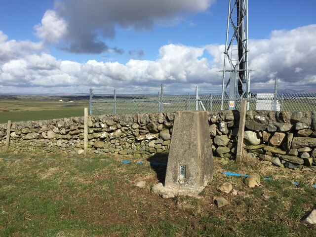
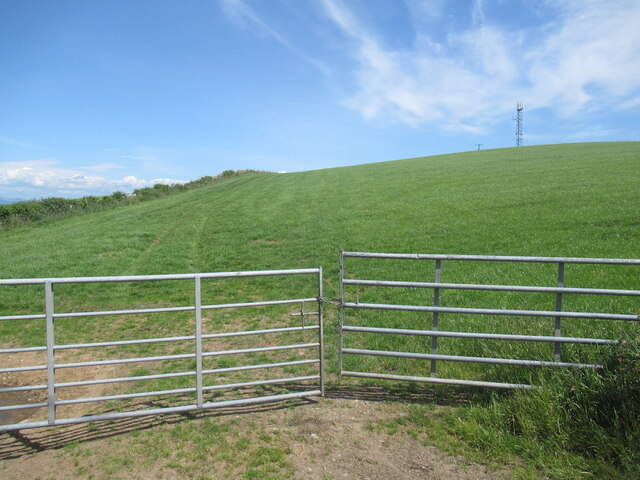
Bing Hill, located in Wigtownshire, is a picturesque hill/mountain formation nestled in southwest Scotland. Standing at an elevation of approximately 280 meters (918 feet), it offers breathtaking views of the surrounding countryside and the nearby Irish Sea.
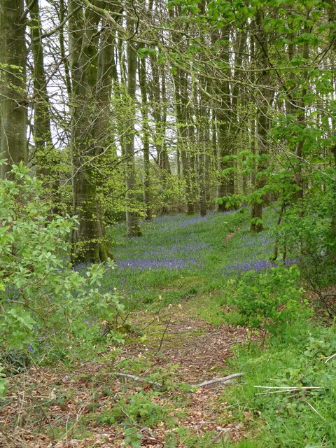
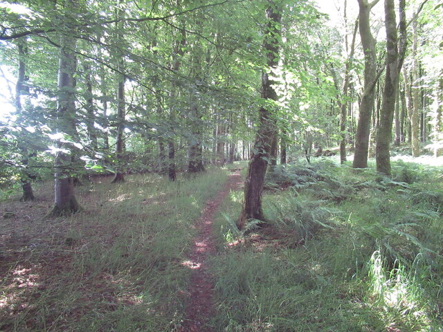
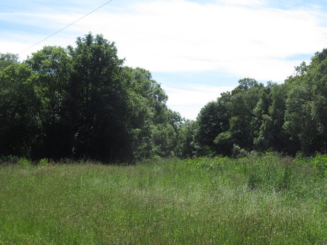
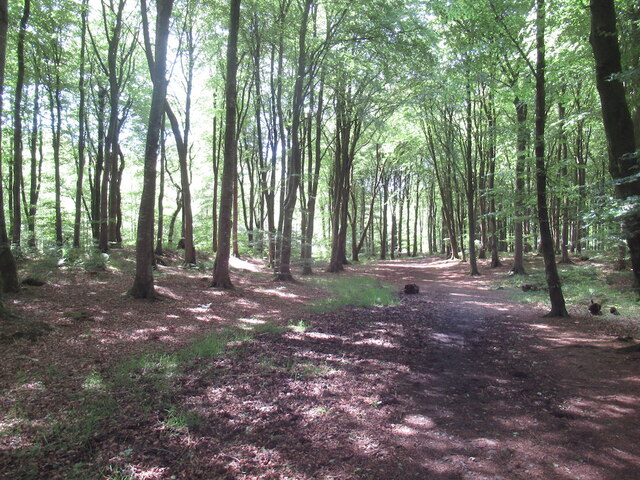
The hill is characterized by its rolling green slopes, dotted with patches of heather and wildflowers, creating a vibrant and colorful landscape. Its summit is relatively flat, providing an ideal spot for hikers and nature enthusiasts to take in the panoramic vistas that stretch as far as the eye can see.
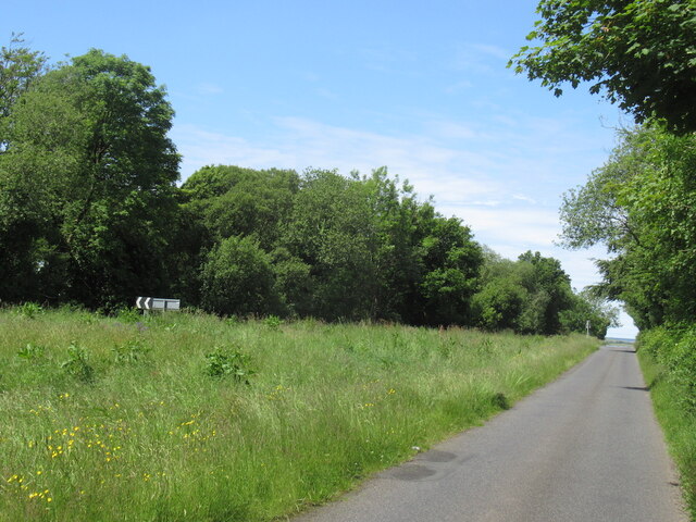
Bing Hill is a popular destination for outdoor activities such as hillwalking, birdwatching, and photography. Its diverse flora and fauna attract a variety of wildlife, including red deer, rabbits, and a multitude of bird species. The hill's tranquil environment provides a serene escape from the hustle and bustle of daily life, offering visitors a chance to connect with nature and unwind.
The surrounding area of Wigtownshire is known for its rich history and cultural heritage, with Bing Hill serving as a gateway to exploring the region. Nearby, the picturesque town of Wigtown, Scotland's National Book Town, is a haven for literature enthusiasts, boasting numerous bookshops and hosting an annual book festival.
Overall, Bing Hill in Wigtownshire offers a unique opportunity to experience the natural beauty of Scotland, providing visitors with a peaceful retreat and a chance to immerse themselves in the stunning landscapes and rich history of the area.
If you have any feedback on the listing, please let us know in the comments section below.
Bing Hill Images
Images are sourced within 2km of 54.820188/-4.4584442 or Grid Reference NX4250. Thanks to Geograph Open Source API. All images are credited.


Bing Hill is located at Grid Ref: NX4250 (Lat: 54.820188, Lng: -4.4584442)
Unitary Authority: Dumfries and Galloway
Police Authority: Dumfries and Galloway
What 3 Words
///coffee.presenter.nurture. Near Whithorn, Dumfries & Galloway
Nearby Locations
Related Wikis

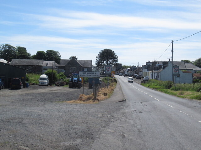
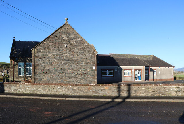
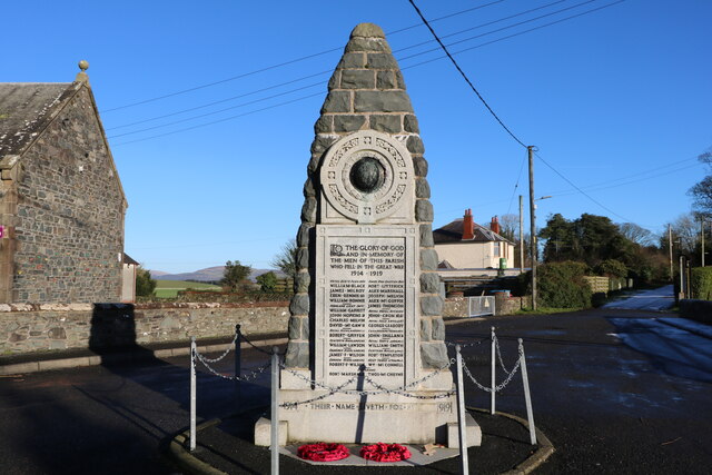
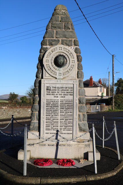
Kirkinner
Kirkinner (Scottish Gaelic: Cille Chainneir, IPA: [ˈkʲʰiʎə ˈxaɲɪɾʲ]) is a village in the Machars, in the historical county of Wigtownshire in Dumfries...

Kirkinner railway station
Kirkinner was a railway station on the Wigtownshire Railway branch line, from Newton Stewart to Whithorn, of the Portpatrick and Wigtownshire Joint Railway...

Whauphill railway station
Whauphill (NX 40462 49887) was a railway station on the Wigtownshire Railway branch line, from Newton Stewart to Whithorn, of the Portpatrick and Wigtownshire...
Whauphill
Whauphill is a small village located in the historical county of Wigtownshire in the Machars, Dumfries and Galloway, Scotland.Whauphill is a hub that supports...

Sorbie railway station
Sorbie (NX4351447562) was a railway station that was located close to the village of Sorbie on the then Wigtownshire Railway branch line to Whithorn, from...

RAF Wigtown
Royal Air Force Wigtown, or more simply RAF Wigtown, is a former Royal Air Force station within the Dumfries and Galloway region of southwest Scotland...
Sorbie
Sorbie (Scottish Gaelic: Soirbidh) is a small village in Wigtownshire, Machars, within the Administration area of Dumfries and Galloway Council, Scotland...

Sorbie Tower
Sorbie Tower is a fortified tower house 1 mile east of the village of Sorbie, Dumfries and Galloway, Scotland. The ancient seat of the Clan Hannay, it...
Nearby Amenities
Located within 500m of 54.820188,-4.4584442Have you been to Bing Hill?
Leave your review of Bing Hill below (or comments, questions and feedback).