Big Hill
Hill, Mountain in Wigtownshire
Scotland
Big Hill
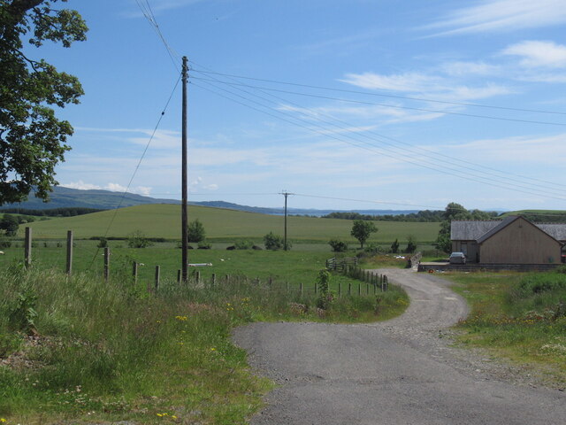
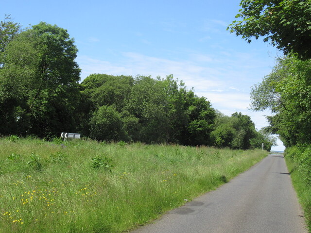
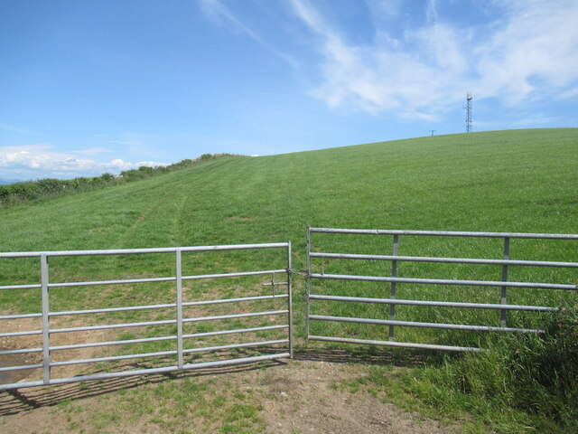
Big Hill, located in Wigtownshire, is a prominent hill/mountain in southwest Scotland. Standing at an elevation of approximately 254 meters (833 feet), it is a notable feature in the region's landscape. The hill is situated on the edge of the Galloway Forest Park, providing visitors with stunning panoramic views of the surrounding countryside.
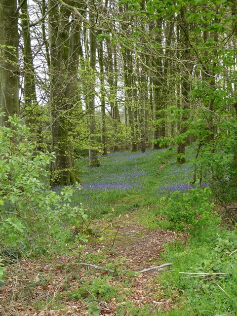
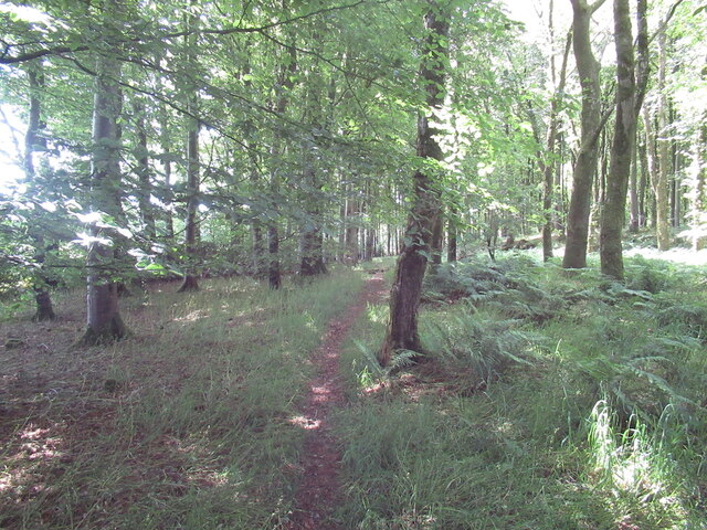
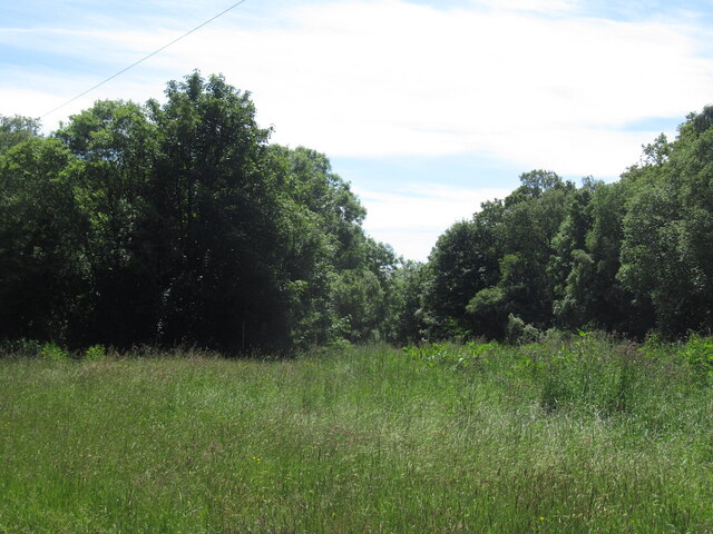
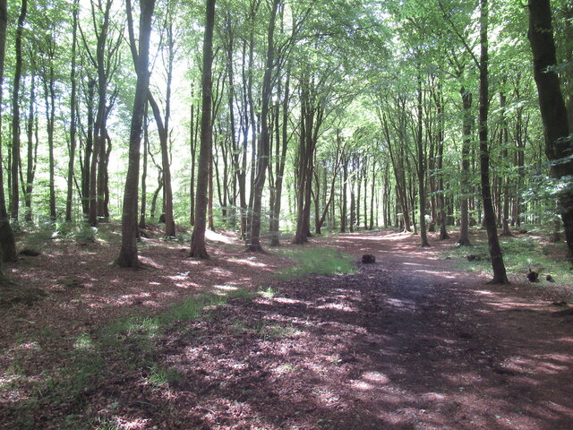
Covered in lush vegetation, Big Hill boasts a diverse range of plant species, including heather, gorse, and bracken. The hill's slopes are relatively gentle, making it accessible to hikers of varying skill levels. Several well-maintained trails crisscross the area, offering visitors the opportunity to explore its natural beauty.
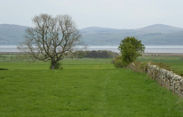
The summit of Big Hill provides an excellent vantage point, allowing observers to marvel at the picturesque countryside that stretches out in all directions. On clear days, it is possible to see the distant hills of the Galloway Forest Park, the shimmering waters of the Solway Firth, and even the Isle of Man.
Wildlife enthusiasts will be delighted to discover that Big Hill is home to a variety of animal species, including red deer, hares, and numerous bird species. The hill's diverse ecosystems provide a habitat for these creatures, making it an ideal location for nature enthusiasts and photographers.
With its scenic views, accessible trails, and rich biodiversity, Big Hill in Wigtownshire offers a captivating experience for outdoor enthusiasts, hikers, and nature lovers alike. Its natural beauty and tranquil atmosphere make it a must-visit destination for those seeking a respite from the hustle and bustle of everyday life.
If you have any feedback on the listing, please let us know in the comments section below.
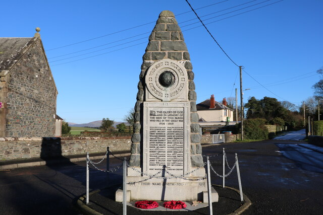
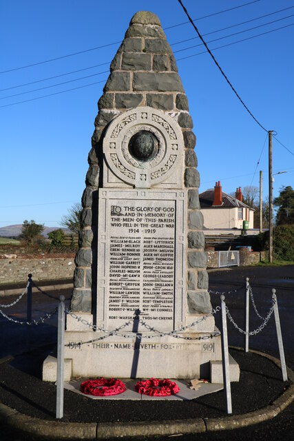
Big Hill Images
Images are sourced within 2km of 54.823953/-4.4540646 or Grid Reference NX4250. Thanks to Geograph Open Source API. All images are credited.


Big Hill is located at Grid Ref: NX4250 (Lat: 54.823953, Lng: -4.4540646)
Unitary Authority: Dumfries and Galloway
Police Authority: Dumfries and Galloway
What 3 Words
///grades.skylights.mourner. Near Whithorn, Dumfries & Galloway
Nearby Locations
Related Wikis

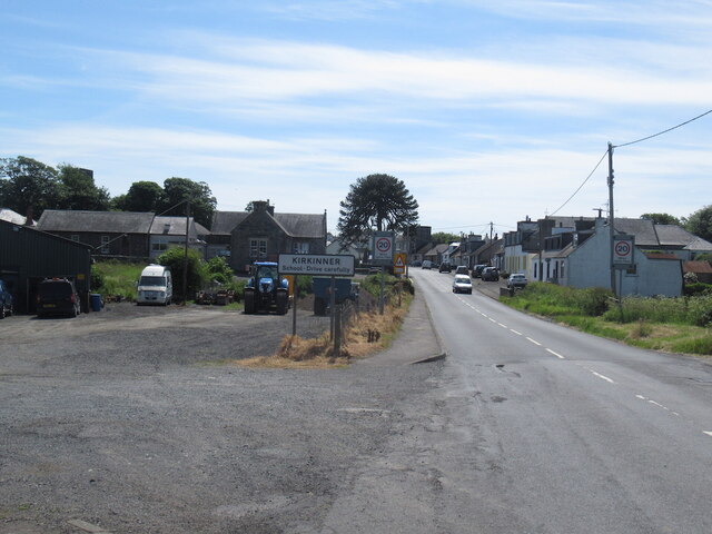
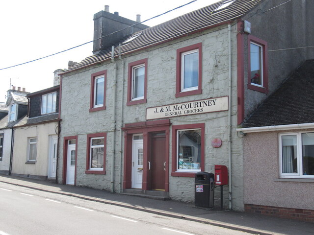
Kirkinner
Kirkinner (Scottish Gaelic: Cille Chainneir, IPA: [ˈkʲʰiʎə ˈxaɲɪɾʲ]) is a village in the Machars, in the historical county of Wigtownshire in Dumfries...

Kirkinner railway station
Kirkinner was a railway station on the Wigtownshire Railway branch line, from Newton Stewart to Whithorn, of the Portpatrick and Wigtownshire Joint Railway...

Whauphill railway station
Whauphill (NX 40462 49887) was a railway station on the Wigtownshire Railway branch line, from Newton Stewart to Whithorn, of the Portpatrick and Wigtownshire...

Sorbie railway station
Sorbie (NX4351447562) was a railway station that was located close to the village of Sorbie on the then Wigtownshire Railway branch line to Whithorn, from...
Whauphill
Whauphill is a small village located in the historical county of Wigtownshire in the Machars, Dumfries and Galloway, Scotland.Whauphill is a hub that supports...

RAF Wigtown
Royal Air Force Wigtown, or more simply RAF Wigtown, is a former Royal Air Force station within the Dumfries and Galloway region of southwest Scotland...

Bladnoch Distillery and Visitor Centre
Bladnoch distillery is a single malt Scotch whisky distillery in south west Scotland. It is one of six remaining Lowland distilleries, located at Bladnoch...

Bladnoch, Wigtownshire
Bladnoch (Scottish Gaelic: Blaidneach) is a small village on the River Bladnoch in Wigtownshire, Scotland, located just outside the county town of Wigtown...
Nearby Amenities
Located within 500m of 54.823953,-4.4540646Have you been to Big Hill?
Leave your review of Big Hill below (or comments, questions and feedback).