Back Moor Plantation

Wood, Forest in Wigtownshire

Scotland

Back Moor Plantation

Old milestone This milestone is tucked under the hedge and probably 'disappears' in the summer.   It is south of the lane that runs southwest towards Ravenstone Mains.
Old milestone Credit: Chris Minto

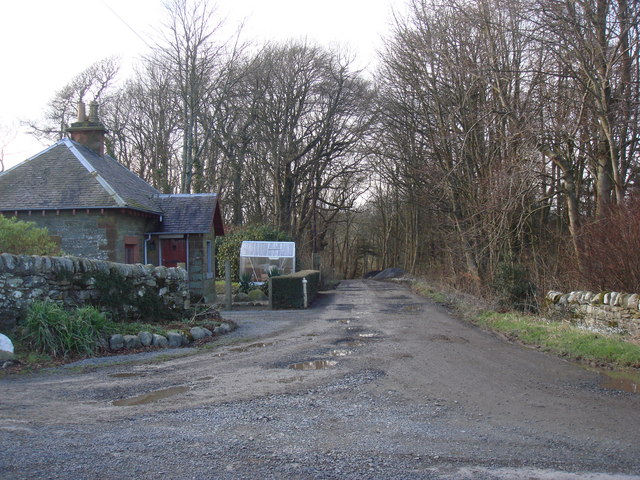
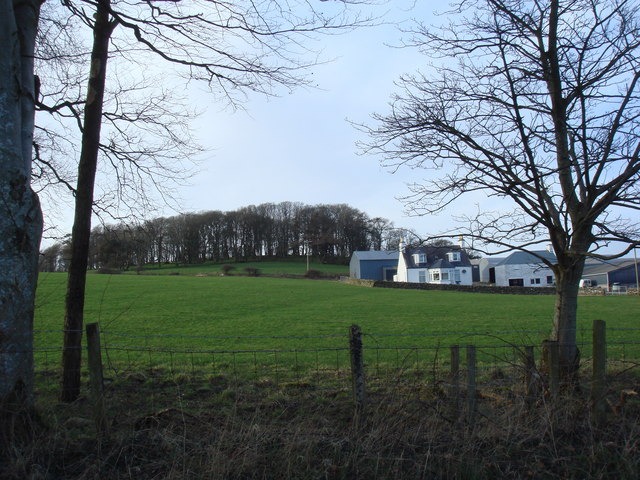
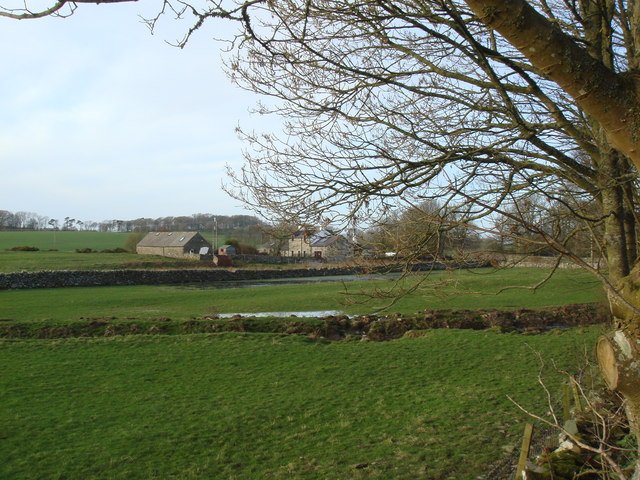
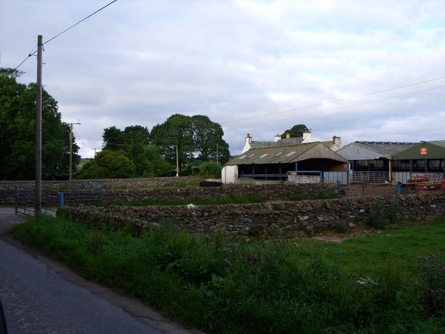
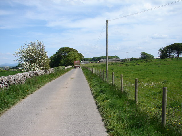
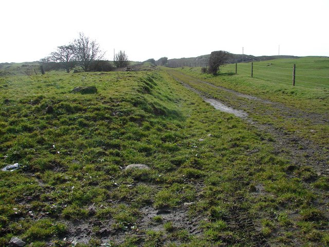
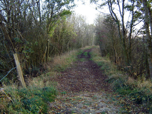
Back Moor Plantation is a picturesque woodland located in Wigtownshire, Scotland. Spanning over a vast area, it is a popular destination for nature enthusiasts and outdoor enthusiasts alike. The plantation is characterized by its dense and diverse forest, making it a haven for various wildlife species.

Covering a total area of approximately 500 acres, Back Moor Plantation is predominantly composed of native tree species such as oak, birch, and pine. The forest floor is adorned with a rich carpet of mosses and ferns, adding to the enchanting atmosphere of the place. The plantation is meticulously managed to ensure the sustainability and health of the woodland ecosystem.

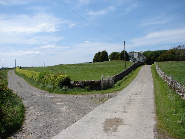
Walking trails crisscross the plantation, allowing visitors to explore and immerse themselves in the natural beauty that surrounds them. These trails vary in length and difficulty, catering to both casual strollers and avid hikers. Along the way, wooden benches provide peaceful resting spots, offering breathtaking views of the surrounding countryside.

Back Moor Plantation is not only a haven for flora but also a sanctuary for fauna. The woodland is home to a wide variety of bird species, including woodpeckers, owls, and raptors. Additionally, deer and squirrels can often be spotted roaming freely among the trees.

With its tranquil ambiance and stunning scenery, Back Moor Plantation offers a perfect retreat for those seeking solace in nature. Whether it is a leisurely walk, birdwatching, or simply enjoying the serenity of the forest, this woodland gem in Wigtownshire is a true testament to Scotland's natural beauty.

If you have any feedback on the listing, please let us know in the comments section below.

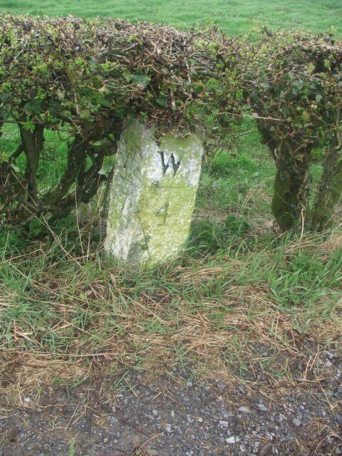
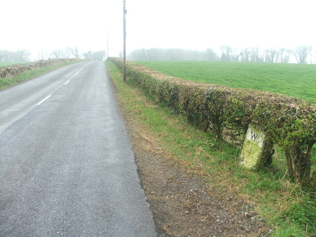
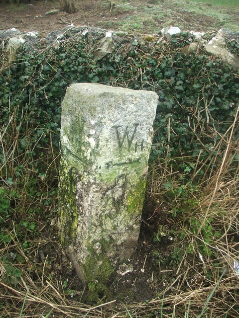
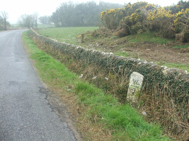
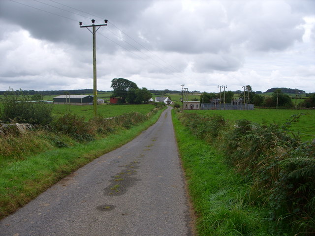
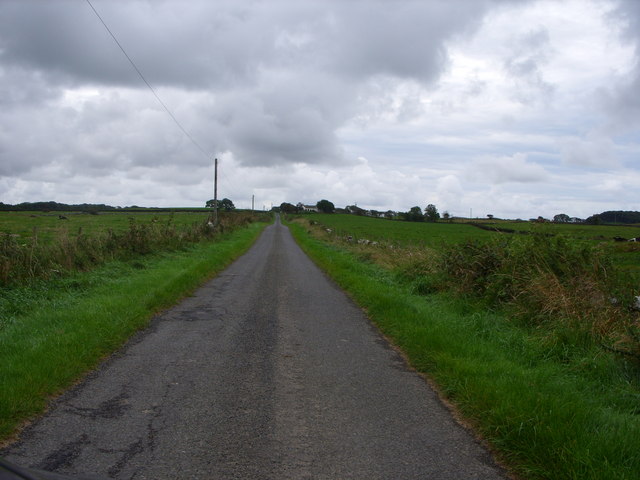
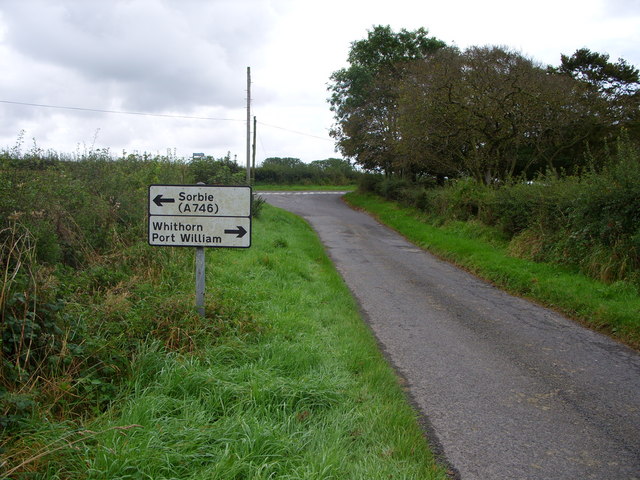
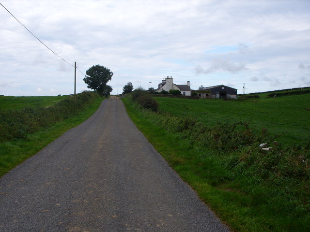
Back Moor Plantation Images

Images are sourced within 2km of 54.7708/-4.4437857 or Grid Reference NX4244. Thanks to Geograph Open Source API. All images are credited.

Old milestone This milestone is tucked under the hedge and probably 'disappears' in the summer.   It is south of the lane that runs southwest towards Ravenstone Mains.
Old milestone
This milestone is tucked under the hedge and probably 'disappears' in the summer. It is south of the lane that runs southwest towards Ravenstone Mains.
Old milestone A misty, murky day for the photograph of the Wigtown 7 milestone.   This face Wh/ arrow to left/4.
Old milestone
A misty, murky day for the photograph of the Wigtown 7 milestone. This face Wh/ arrow to left/4.
Old milestone This milestone is just north of the entrance to Broadwigg Farm which is on opposite side of the A746.  Some dead grass tampled down but another milestone that needs a scrub down.
Old milestone
This milestone is just north of the entrance to Broadwigg Farm which is on opposite side of the A746. Some dead grass tampled down but another milestone that needs a scrub down.
Old milestone The view southwards along the A746 shows the milestone near a gorse covered mound in the field behind the wall.
Old milestone
The view southwards along the A746 shows the milestone near a gorse covered mound in the field behind the wall.
Ravenstone Lodge & drive to Ravenstone Castle
Ravenstone Mains
Ravenstone Mains
Moss Park - home of The Swallow Theatre Tiny theatre <span class="nowrap"><a title="www.swallowtheatre.com" rel="nofollow ugc noopener" href="http://www.swallowtheatre.com">Link</a><img style="margin-left:2px;" alt="External link" title="External link - shift click to open in new window" src="https://s1.geograph.org.uk/img/external.png" width="10" height="10"/></span> seating about 45 with stage lighting powered by renewables - wind turbine & solar panels.
Moss Park - home of The Swallow Theatre
Tiny theatre LinkExternal link seating about 45 with stage lighting powered by renewables - wind turbine & solar panels.
Bridgehouse Farm
Bridgehouse Farm
West Culkae Farm
West Culkae Farm
Minor Road Leading to Grennan Farm
Road Junction
Road Junction
Low Barledziew Farm
Low Barledziew Farm
Reiffer Park Farm
Reiffer Park Farm
Drumacrae Hill View across hilly farmland to Drumacrae, the Black Ditch burn runs along the tree line in the cutting.
Drumacrae Hill
View across hilly farmland to Drumacrae, the Black Ditch burn runs along the tree line in the cutting.
Broadwigg Farm Haylage and silage time at Broadwigg Farm near Whithorn.
Broadwigg Farm
Haylage and silage time at Broadwigg Farm near Whithorn.
Castlewigg Lodge and Caravan Park Castlewigg Holiday Caravan Park stands on the A746 Wigtown-Whithorn road. Castlewigg Lodge (formerly Castlewigg Hotel) is now a B&B.
Castlewigg Lodge and Caravan Park
Castlewigg Holiday Caravan Park stands on the A746 Wigtown-Whithorn road. Castlewigg Lodge (formerly Castlewigg Hotel) is now a B&B.
Whithorn Lodge, Castlewigg Lodge at Castlewigg Farm entrance carries the name Whithorn Lodge as it was originally the Whithorn Road entrance into the former Castlewigg Estate.
Whithorn Lodge, Castlewigg
Lodge at Castlewigg Farm entrance carries the name Whithorn Lodge as it was originally the Whithorn Road entrance into the former Castlewigg Estate.
Castlewigg House (Modern) View along Castlewigg Farm road of the modern Castlewigg House. The track to the left leads to Glove Hill Lodge at the western end of the former Castlewigg Estate.
Castlewigg House (Modern)
View along Castlewigg Farm road of the modern Castlewigg House. The track to the left leads to Glove Hill Lodge at the western end of the former Castlewigg Estate.
Show me another place!

Back Moor Plantation is located at Grid Ref: NX4244 (Lat: 54.7708, Lng: -4.4437857)

Unitary Authority: Dumfries and Galloway

Police Authority: Dumfries and Galloway

What 3 Words

///thin.diamond.diplomas. Near Whithorn, Dumfries & Galloway

Related Wikis

Sorbie

Sorbie (Scottish Gaelic: Soirbidh) is a small village in Wigtownshire, Machars, within the Administration area of Dumfries and Galloway Council, Scotland...

Broughton Skeog railway station

Broughton Skeog (NX4554444071) was a railway station that was located near level crossing gates over a minor road on the Wigtownshire Railway branch line...

Sorbie railway station

Sorbie (NX4351447562) was a railway station that was located close to the village of Sorbie on the then Wigtownshire Railway branch line to Whithorn, from...

Sorbie Tower

Sorbie Tower is a fortified tower house 1 mile east of the village of Sorbie, Dumfries and Galloway, Scotland. The ancient seat of the Clan Hannay, it...

Millisle railway station

Millisle, later Millisle for Garlieston was a railway station that was near the junction for Garlieston on the Wigtownshire Railway branch line, from Newton...

Whithorn railway station

Whithorn is the closed terminus of the Wigtownshire Railway branch, from Newton Stewart, of the Portpatrick and Wigtownshire Joint Railway. It served...

Whauphill

Whauphill is a small village located in the historical county of Wigtownshire in the Machars, Dumfries and Galloway, Scotland.Whauphill is a hub that supports...

Whithorn

Whithorn (Scots pronunciation: [ˈʍɪthorn], Taigh Mhàrtainn in modern Gaelic), is a royal burgh in the historic county of Wigtownshire in Dumfries and Galloway...

Nearby Amenities

Located within 500m of 54.7708,-4.4437857
Power: pole
Lat/Long: 54.7692639/-4.4412741
Power: pole
Lat/Long: 54.7691773/-4.442811
Power: pole
Lat/Long: 54.7690922/-4.4441468
Power: pole
Lat/Long: 54.767485/-4.4447242
Power: pole
Lat/Long: 54.7683118/-4.4451738
Power: pole
Lat/Long: 54.7690212/-4.4455446
Power: pole
Lat/Long: 54.7697338/-4.445923
Power: pole
Lat/Long: 54.7718749/-4.4480805
Power: pole
Lat/Long: 54.7725774/-4.4488751
Power: pole
Lat/Long: 54.7732645/-4.4496522
Power: pole
Lat/Long: 54.7711586/-4.4473588
Power: pole
Lat/Long: 54.7704315/-4.4466261
Power: pole
Lat/Long: 54.7668551/-4.4443829
The data included in this document is from www.openstreetmap.org. The data is made available under ODbL.

Have you been to Back Moor Plantation?

Leave your review of Back Moor Plantation below (or comments, questions and feedback).