Pettingale Wood
Wood, Forest in Monmouthshire
Wales
Pettingale Wood

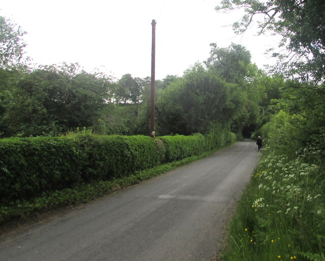
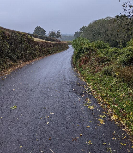
Pettingale Wood is a picturesque woodland located in Monmouthshire, Wales. Covering an area of approximately 100 acres, this enchanting forest is a haven for nature lovers and outdoor enthusiasts.
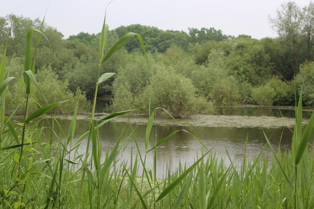
The wood is predominantly composed of native deciduous trees, including oak, beech, and ash, creating a diverse and vibrant ecosystem. The dense canopy provides shade and shelter for a variety of wildlife, making it a popular spot for birdwatching and nature photography.
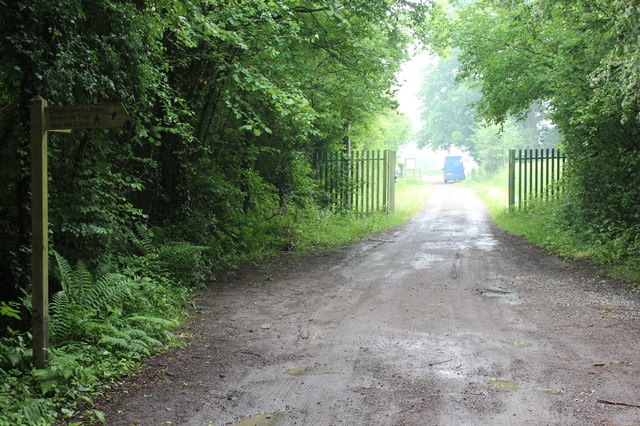
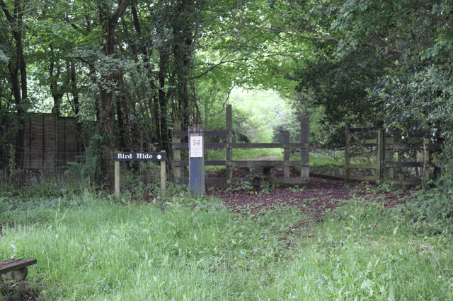
Visitors can explore Pettingale Wood through a network of well-maintained trails that wind their way through the forest. These trails vary in difficulty, catering to both casual strollers and experienced hikers. Along the way, one can discover hidden glades, babbling brooks, and even the occasional wildflower meadow, adding to the wood's natural beauty.
The wood is also home to a rich array of flora and fauna, from rare orchids to elusive deer and foxes. Nature enthusiasts can take delight in the abundance of wildlife that calls Pettingale Wood their home.
For those seeking tranquility and solitude, Pettingale Wood offers plenty of secluded spots for picnics or simply enjoying the peaceful ambiance. Whether exploring the stunning woodland trails, listening to the melodious songs of birds, or breathing in the crisp, fresh air, Pettingale Wood provides a serene and rejuvenating experience for all who visit.
If you have any feedback on the listing, please let us know in the comments section below.
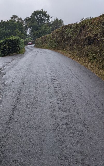
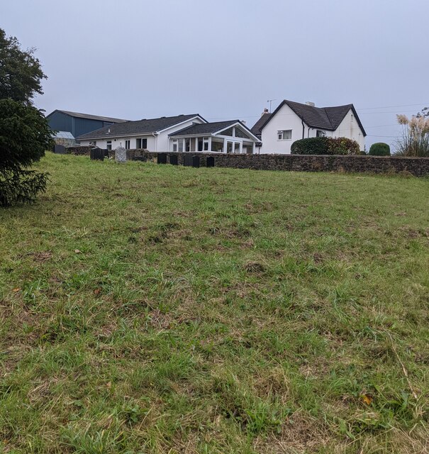
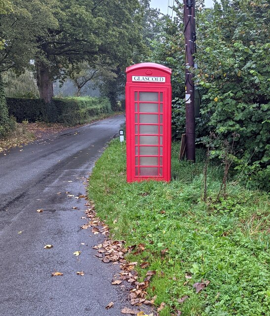
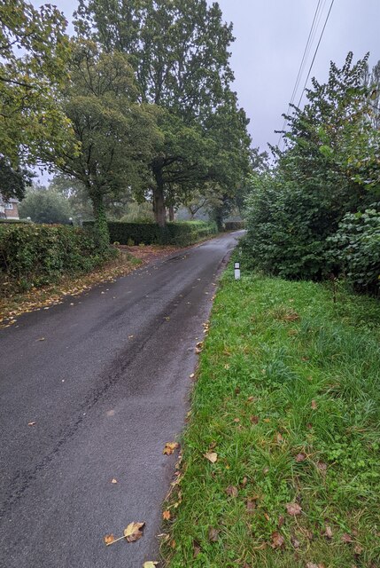
Pettingale Wood Images
Images are sourced within 2km of 51.70086/-2.9460011 or Grid Reference SO3400. Thanks to Geograph Open Source API. All images are credited.

Pettingale Wood is located at Grid Ref: SO3400 (Lat: 51.70086, Lng: -2.9460011)
Unitary Authority: Monmouthshire
Police Authority: Gwent
What 3 Words
///cost.chiefs.vitals. Near Usk, Monmouthshire
Nearby Locations
Related Wikis

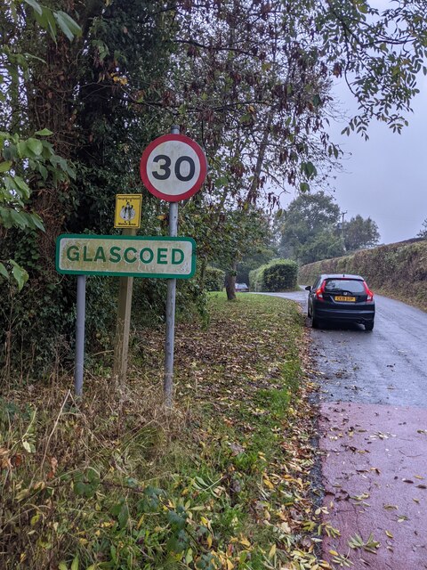
ROF Glascoed
ROF Glascoed (today BAE Systems Munitions Glascoed) was built as a UK government-owned, Royal Ordnance Factory (ROF). It was designed as one of 20 munitions...
Cefn Ila
Cefn Ila (Welsh: Coed Cefn Ila) is an 83 acres (34 ha) woodland located in Llanbadoc, a mile away from Usk, Monmouthshire, Wales, owned and run by the...

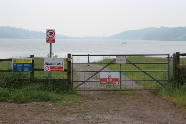
Llandegfedd Reservoir
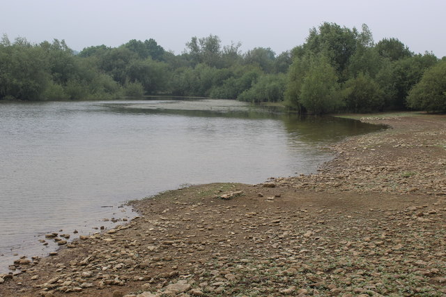
Llandegfedd Reservoir (also known as Llandegveth Reservoir) is a large 174 hectare water supply reservoir and is eight miles (13 km) north of Newport...
HM Prison Prescoed
HM Prison Prescoed (Welsh: Carchar Prescoed EF) is a Category D men's open prison, located in Coed-y-paen, three miles from Usk in Monmouthshire, Wales...
Have you been to Pettingale Wood?
Leave your review of Pettingale Wood below (or comments, questions and feedback).