Byrgwm Wood

Wood, Forest in Monmouthshire

Wales

Byrgwm Wood

Footpath above Yew Tree Farm The Trail leaves a wooded corridor (left arm of signpost) and proceeds along the top of a field before turning right downhill.
Footpath above Yew Tree Farm Credit: M J Roscoe

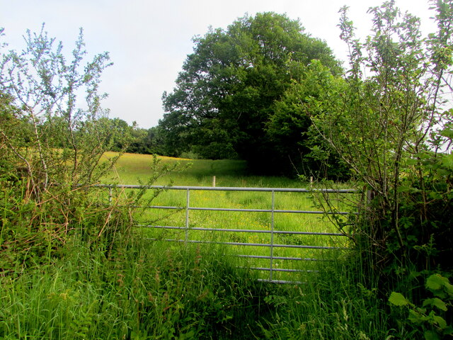
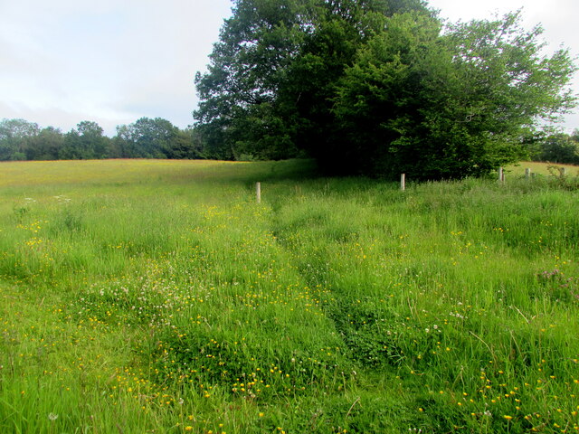
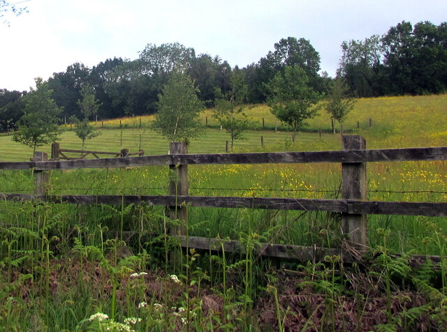
Byrgwm Wood is a picturesque forest located in Monmouthshire, Wales. Covering an area of approximately 30 hectares, it is a haven of natural beauty and tranquility. The woodland is situated on the eastern slopes of the Wye Valley, offering breathtaking views of the surrounding countryside.

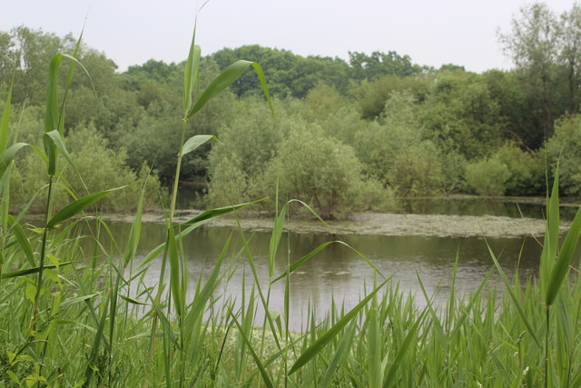
The wood is predominantly made up of broadleaf trees, including oak, beech, and ash. These towering trees provide a dense canopy that filters sunlight, creating a cool and shaded environment below. The forest floor is carpeted with a rich variety of wildflowers, ferns, and mosses, adding to the enchanting atmosphere.

Byrgwm Wood is home to a diverse range of wildlife. Bird enthusiasts can spot species such as woodpeckers, thrushes, and owls, while small mammals like squirrels and rabbits can be seen darting through the undergrowth. The woodland is also a habitat for numerous insects, including butterflies and beetles.

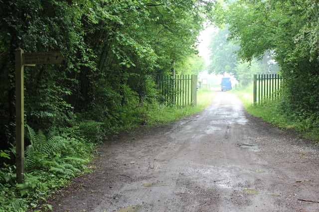
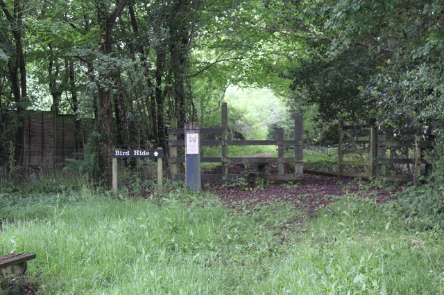
The wood is traversed by several winding footpaths, allowing visitors to explore its beauty at their leisure. These paths lead to secluded clearings, where one can relax and immerse themselves in the tranquil surroundings. The wood is popular among hikers, nature lovers, and families alike, who come to enjoy the serene atmosphere and engage in outdoor activities.

Byrgwm Wood is easily accessible, with ample parking facilities nearby. Visitors are advised to wear appropriate footwear and be mindful of the uneven terrain. The wood is managed by local authorities to preserve its natural beauty and protect the diverse ecosystem it supports.

If you have any feedback on the listing, please let us know in the comments section below.
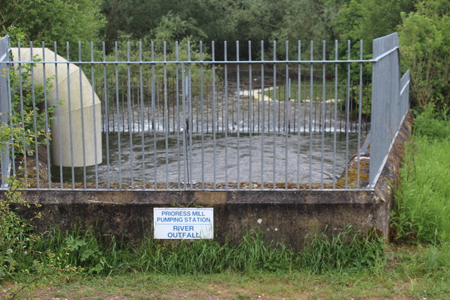
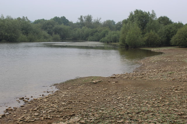
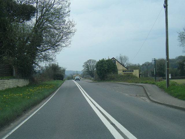
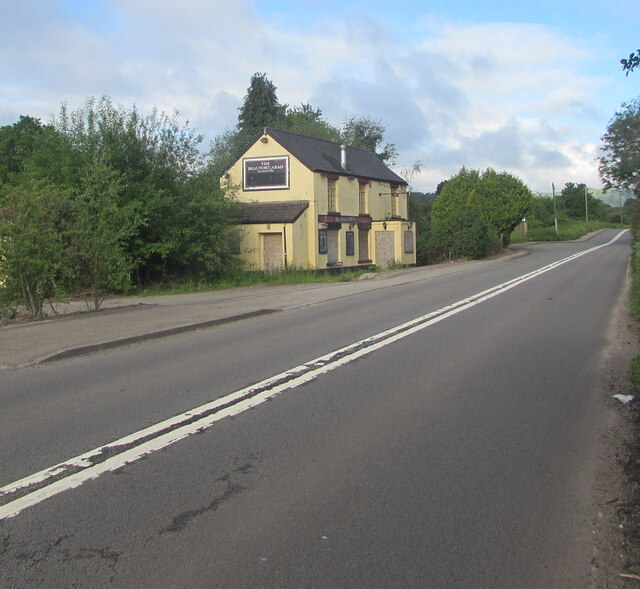
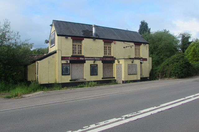
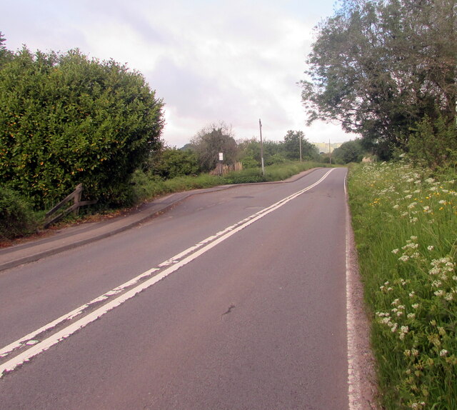
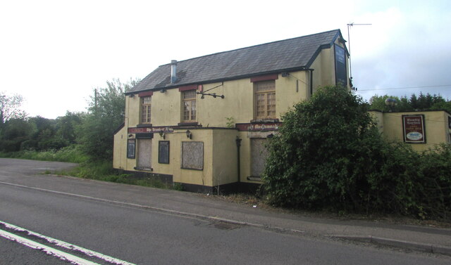
Byrgwm Wood Images

Images are sourced within 2km of 51.701068/-2.9536892 or Grid Reference SO3400. Thanks to Geograph Open Source API. All images are credited.

Footpath above Yew Tree Farm The Trail leaves a wooded corridor (left arm of signpost) and proceeds along the top of a field before turning right downhill.
Footpath above Yew Tree Farm
The Trail leaves a wooded corridor (left arm of signpost) and proceeds along the top of a field before turning right downhill.
Footpath down to Yew Tree Farmhouse The Trail runs downhill to the left of the posts to a pedestrian gate, and turns left.
Footpath down to Yew Tree Farmhouse
The Trail runs downhill to the left of the posts to a pedestrian gate, and turns left.
Entrance to car park, reservoir inlet The Trail from Yew Tree Farm <a href="https://www.geograph.org.uk/photo/5792241">SO3200 : Footpath down to Yew Tree Farmhouse</a> turns right at the trail's signpost on the highway and heads through the reservoir gates. Access to this area is restricted in the winter.
Entrance to car park, reservoir inlet
The Trail from Yew Tree Farm SO3200 : Footpath down to Yew Tree Farmhouse turns right at the trail's signpost on the highway and heads through the reservoir gates. Access to this area is restricted in the winter.
Way to bird hide, inlet car park From the picnic site (foreground) the path goes through the gate to the hide a few yards further on to the left. A notice nearby states that access is restricted to permit holders.
Way to bird hide, inlet car park
From the picnic site (foreground) the path goes through the gate to the hide a few yards further on to the left. A notice nearby states that access is restricted to permit holders.
Anglers' entrance to edge of Llandegfedd reservoir Only anglers and birdwatchers with permits allowed through gate!
Anglers' entrance to edge of Llandegfedd reservoir
Only anglers and birdwatchers with permits allowed through gate!
Northern inlet, Llandegfedd Reservoir View from bird hide a few yards from the Trail.
Northern inlet, Llandegfedd Reservoir
View from bird hide a few yards from the Trail.
River outfall, Llandegfedd Reservoir Raw water, pumped from the River Usk by the Prioress Mill Pumping Station north west of Usk, enters the enclosed concrete pound, spills over into a channel and flows into the reservoir. The Trail passes by the near railings on a permissive path.
River outfall, Llandegfedd Reservoir
Raw water, pumped from the River Usk by the Prioress Mill Pumping Station north west of Usk, enters the enclosed concrete pound, spills over into a channel and flows into the reservoir. The Trail passes by the near railings on a permissive path.
Shore of Llandegfedd Reservoir Shore of an inlet on the north east part of the reservoir, which does not appear to be full. This littoral area is closed to the public from 1 November to 1 March as it used by overwintering wildfowl.
Shore of Llandegfedd Reservoir
Shore of an inlet on the north east part of the reservoir, which does not appear to be full. This littoral area is closed to the public from 1 November to 1 March as it used by overwintering wildfowl.
A472 at The Beaufort Arms
Derelict former pub, Monkswood, Monmouthshire Viewed across the A472 in June 2021. <a title="https://www.geograph.org.uk/photo/6859333" href="https://www.geograph.org.uk/photo/6859333">Link</a> to a closer view.
The decaying building use to be the Beaufort Arms pub seen here <a title="https://www.geograph.org.uk/photo/3196617" href="https://www.geograph.org.uk/photo/3196617">Link</a> in 2012.
Derelict former pub, Monkswood, Monmouthshire
Viewed across the A472 in June 2021. Link to a closer view. The decaying building use to be the Beaufort Arms pub seen here Link in 2012.
Former Beaufort Arms pub,  Monkswood, Monmouthshire Derelict building on the south side of the A472 viewed in June 2021.
Former Beaufort Arms pub, Monkswood, Monmouthshire
Derelict building on the south side of the A472 viewed in June 2021.
West along the A472, Monkswood, Monmouthshire Ahead for the village of Little Mill. Behind the camera for the town of Usk.
West along the A472, Monkswood, Monmouthshire
Ahead for the village of Little Mill. Behind the camera for the town of Usk.
Derelict former village pub, Monkswood, Monmouthshire Viewed across the A472 in June 2021. This derelict building used to be the Beaufort Arms pub seen here <a title="https://www.geograph.org.uk/photo/3196625" href="https://www.geograph.org.uk/photo/3196625">Link</a> in 2012.
Derelict former village pub, Monkswood, Monmouthshire
Viewed across the A472 in June 2021. This derelict building used to be the Beaufort Arms pub seen here Link in 2012.
Partly-overgrown field gate, Monkswood, Monmouthshire On the north side of the A472 viewed in June 2021.
Partly-overgrown field gate, Monkswood, Monmouthshire
On the north side of the A472 viewed in June 2021.
From field gate to field gate, Monkswood, Monmouthshire Looking to the NE from this <a title="https://www.geograph.org.uk/photo/6863966" href="https://www.geograph.org.uk/photo/6863966">Link</a> gate in June 2021.
From field gate to field gate, Monkswood, Monmouthshire
Looking to the NE from this Link gate in June 2021.
Track through a field, Monkswood, Monmouthshire Looking north from this <a title="https://www.geograph.org.uk/photo/6863966" href="https://www.geograph.org.uk/photo/6863966">Link</a> gate in June 2021.
Track through a field, Monkswood, Monmouthshire
Looking north from this Link gate in June 2021.
Trees beyond a wooden fence, Monkswood, Monmouthshire On the north side of the A472, the main road through Monkswood.
Trees beyond a wooden fence, Monkswood, Monmouthshire
On the north side of the A472, the main road through Monkswood.
MCC entrance, Monkswood, Monmouthshire This entrance to Monkswood Cricket Club is on the south side of the A472, the main road through Monkswood.
MCC entrance, Monkswood, Monmouthshire
This entrance to Monkswood Cricket Club is on the south side of the A472, the main road through Monkswood.
Show me another place!

Byrgwm Wood is located at Grid Ref: SO3400 (Lat: 51.701068, Lng: -2.9536892)

Unitary Authority: Monmouthshire

Police Authority: Gwent

What 3 Words

///commander.beside.shell. Near Usk, Monmouthshire

Related Wikis

Llandegfedd Reservoir

Llandegfedd Reservoir (also known as Llandegveth Reservoir) is a large 174 hectare water supply reservoir and is eight miles (13 km) north of Newport...

ROF Glascoed

ROF Glascoed (today BAE Systems Munitions Glascoed) was built as a UK government-owned, Royal Ordnance Factory (ROF). It was designed as one of 20 munitions...

Glascoed Halt railway station

Glascoed Halt was a request stop on the former Coleford, Monmouth, Usk and Pontypool Railway. It was opened in 1927 to serve the village of Glascoed, Monmouthshire...

Cefn Ila

Cefn Ila (Welsh: Coed Cefn Ila) is an 83 acres (34 ha) woodland located in Llanbadoc, a mile away from Usk, Monmouthshire, Wales, owned and run by the...

HM Prison Prescoed

HM Prison Prescoed (Welsh: Carchar Prescoed EF) is a Category D men's open prison, located in Coed-y-paen, three miles from Usk in Monmouthshire, Wales...

Battle of Pwll Melyn

The Battle of Pwll Melyn (also known as the Battle of Usk), was a battle between the Welsh and English on 5 May 1405, it was part of the Glyndŵr Rising...

Monkswood, Monmouthshire

Monkswood (Welsh: Coed y Mynach) is a village in Monmouthshire, south east Wales, United Kingdom. == Location == Monkswood is located two miles west of...

Coed-y-paen

Coed-y-paen is a village in South Wales, situated at the south-eastern end of Llandegfedd Reservoir, 2.5 miles (4 km) north-west of Llangybi. HM Prison...

Nearby Amenities

Located within 500m of 51.701068,-2.9536892
Power: pole
Lat/Long: 51.6985952/-2.954832
Power: pole
Lat/Long: 51.6971953/-2.9551424
Power: pole
Lat/Long: 51.697056/-2.9550763
The data included in this document is from www.openstreetmap.org. The data is made available under ODbL.

Have you been to Byrgwm Wood?

Leave your review of Byrgwm Wood below (or comments, questions and feedback).