Coed Chambers
Wood, Forest in Monmouthshire
Wales
Coed Chambers

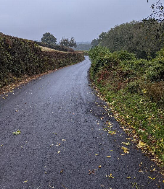
Coed Chambers is a small woodland located in Monmouthshire, Wales. Covering an area of approximately 20 acres, it is a beautiful and tranquil forest known for its diverse range of tree species and rich wildlife.
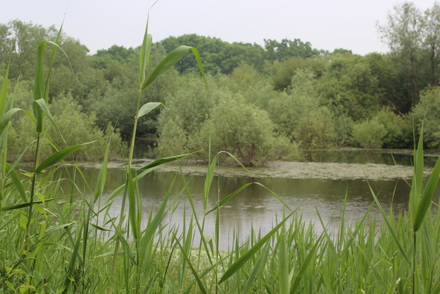
The woodland is primarily composed of deciduous trees, including oak, birch, beech, and ash, which create a dense canopy overhead. These trees provide a haven for various bird species, such as the great spotted woodpecker, nuthatch, and treecreeper. The forest floor is covered in a thick layer of leaf litter, supporting a myriad of small mammals, including hedgehogs, mice, and voles.
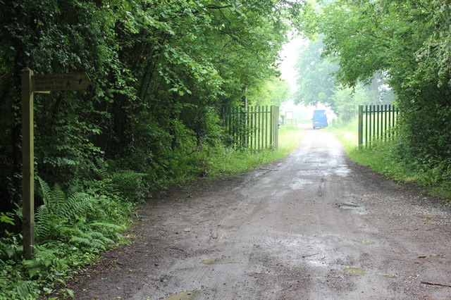
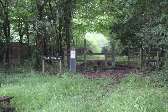
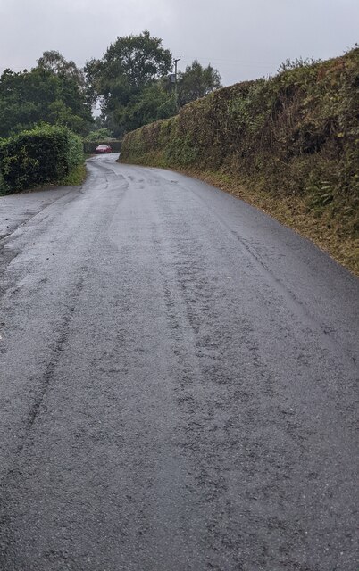
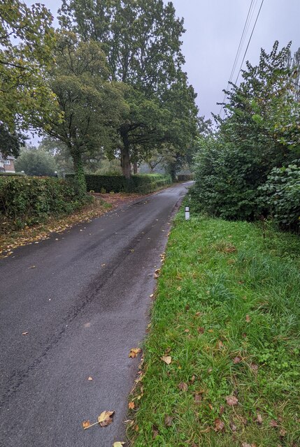
Coed Chambers is also home to a network of walking trails, allowing visitors to explore the woodland and appreciate its natural beauty. The paths wind through the forest, providing opportunities to discover hidden clearings, bubbling streams, and enchanting wildflower displays during the spring and summer months.
In addition to its ecological significance, Coed Chambers is a popular recreational spot for locals and tourists alike. The woodland offers opportunities for various outdoor activities, such as hiking, picnicking, and birdwatching. The peaceful atmosphere and stunning scenery make it an ideal place to escape from the hustle and bustle of daily life.
Overall, Coed Chambers in Monmouthshire is a picturesque woodland, cherished for its diverse tree species, abundant wildlife, and recreational opportunities. It serves as an important natural habitat and a beloved destination for nature enthusiasts and outdoor enthusiasts alike.
If you have any feedback on the listing, please let us know in the comments section below.
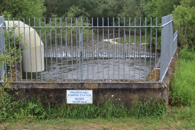
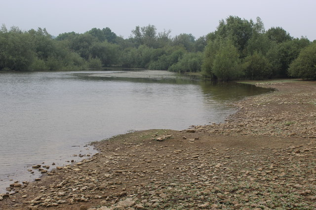
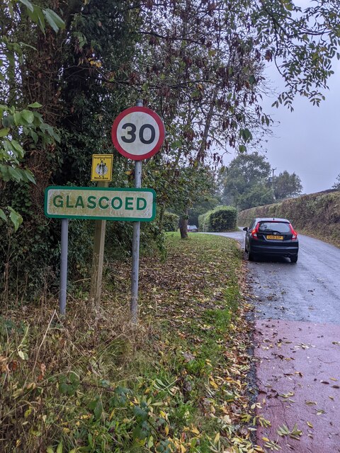
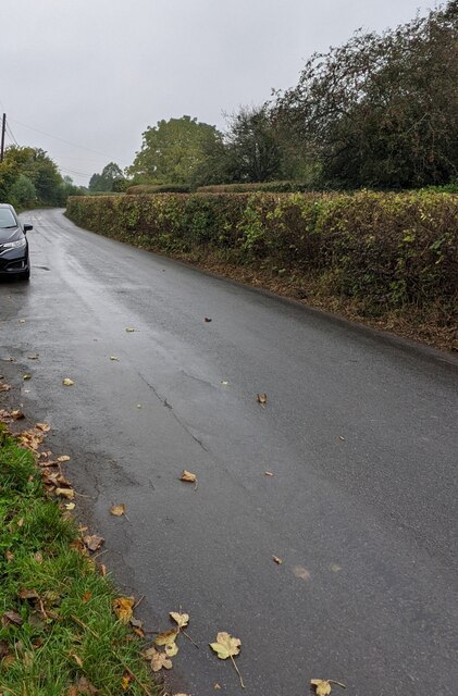
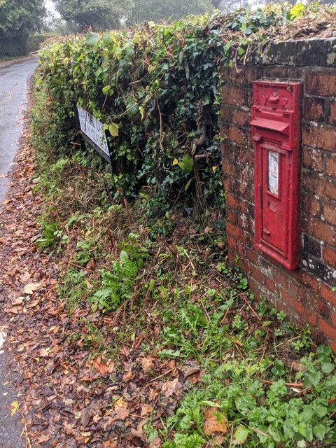
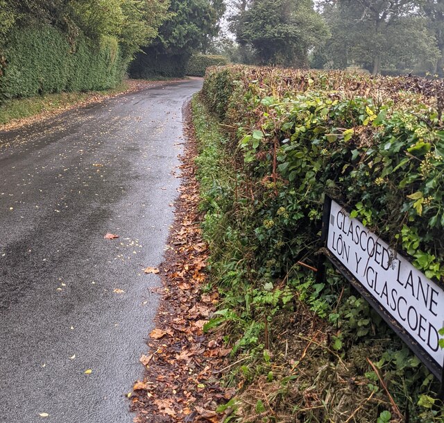
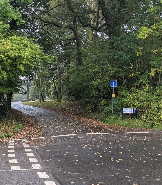
Coed Chambers Images
Images are sourced within 2km of 51.696004/-2.952758 or Grid Reference SO3400. Thanks to Geograph Open Source API. All images are credited.

Coed Chambers is located at Grid Ref: SO3400 (Lat: 51.696004, Lng: -2.952758)
Unitary Authority: Monmouthshire
Police Authority: Gwent
What 3 Words
///reissued.incurring.bets. Near Llanbadoc, Monmouthshire
Nearby Locations
Related Wikis

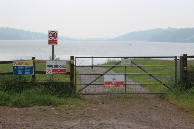
Llandegfedd Reservoir
Llandegfedd Reservoir (also known as Llandegveth Reservoir) is a large 174 hectare water supply reservoir and is eight miles (13 km) north of Newport...

HM Prison Prescoed
HM Prison Prescoed (Welsh: Carchar Prescoed EF) is a Category D men's open prison, located in Coed-y-paen, three miles from Usk in Monmouthshire, Wales...
ROF Glascoed
ROF Glascoed (today BAE Systems Munitions Glascoed) was built as a UK government-owned, Royal Ordnance Factory (ROF). It was designed as one of 20 munitions...

Coed-y-paen
Coed-y-paen is a village in South Wales, situated at the south-eastern end of Llandegfedd Reservoir, 2.5 miles (4 km) north-west of Llangybi. HM Prison...
Cefn Ila
Cefn Ila (Welsh: Coed Cefn Ila) is an 83 acres (34 ha) woodland located in Llanbadoc, a mile away from Usk, Monmouthshire, Wales, owned and run by the...
Glascoed Halt railway station
Glascoed Halt was a request stop on the former Coleford, Monmouth, Usk and Pontypool Railway. It was opened in 1927 to serve the village of Glascoed, Monmouthshire...
Usk Inlier
The Usk Inlier is a domed outcrop of rock strata of Silurian age in Monmouthshire in south-eastern Wales. It is located in the countryside between the...
Battle of Pwll Melyn
The Battle of Pwll Melyn (also known as the Battle of Usk), was a battle between the Welsh and English on 5 May 1405, it was part of the Glyndŵr Rising...
Nearby Amenities
Located within 500m of 51.696004,-2.952758Have you been to Coed Chambers?
Leave your review of Coed Chambers below (or comments, questions and feedback).