Cilfeigan Park

Wood, Forest in Monmouthshire

Wales

Cilfeigan Park

Entrance to car park, reservoir inlet The Trail from Yew Tree Farm <a href="https://www.geograph.org.uk/photo/5792241">SO3200 : Footpath down to Yew Tree Farmhouse</a> turns right at the trail's signpost on the highway and heads through the reservoir gates. Access to this area is restricted in the winter.
Entrance to car park, reservoir inlet Credit: M J Roscoe

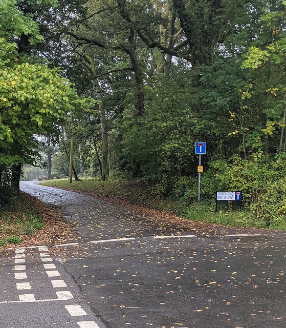
Cilfeigan Park is a picturesque woodland area located in Monmouthshire, Wales. Spanning over several acres, it offers visitors a tranquil escape into nature, with its dense forest and lush greenery. The park is situated near the village of Cilfeigan, just a short distance from the bustling town of Monmouth.

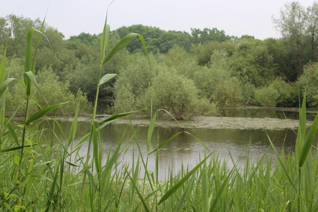
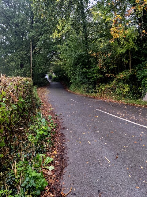
The park is characterized by its diverse range of trees, including oak, beech, and coniferous species. These towering trees create a dense canopy, providing shade and shelter for a variety of wildlife that call the park home. Visitors can often spot squirrels, rabbits, and a wide array of bird species as they explore the park's winding pathways.

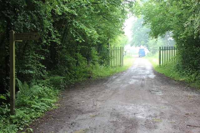
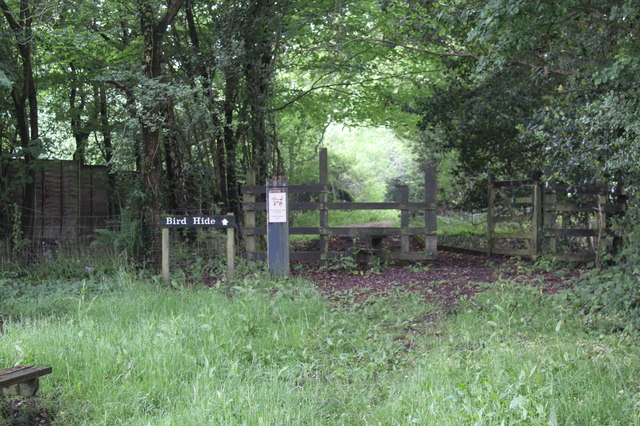
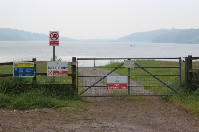
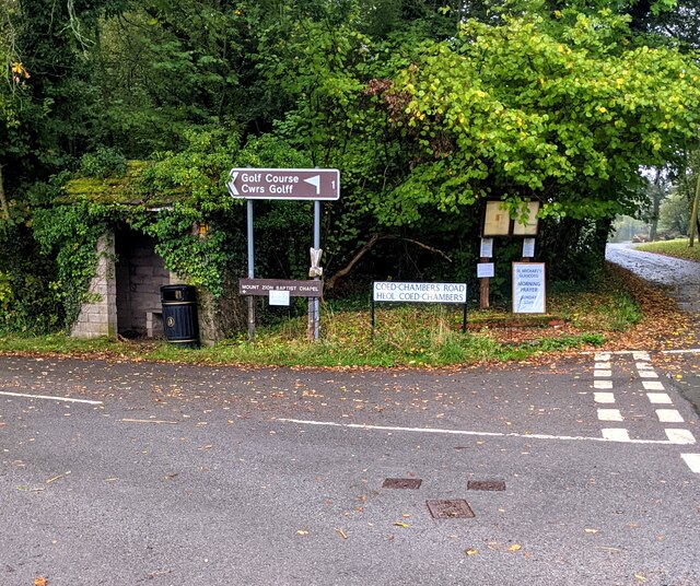
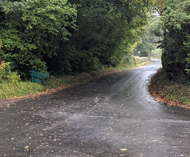
Cilfeigan Park boasts several walking trails, allowing visitors to fully immerse themselves in the beauty of the woodland. These trails vary in length and difficulty, catering to both casual strollers and more avid hikers. Along the way, visitors can enjoy stunning views of the surrounding landscape, including rolling hills and the nearby River Wye.

The park is a popular destination for nature enthusiasts, families, and those looking for a peaceful retreat. It offers picnic areas and benches, inviting visitors to relax and enjoy a meal amidst the natural surroundings. Additionally, there are designated areas for children to play, making it an ideal spot for a family outing.

Cilfeigan Park truly offers a serene escape from the hustle and bustle of daily life, allowing visitors to reconnect with nature and enjoy the beauty of Monmouthshire's woodlands.

If you have any feedback on the listing, please let us know in the comments section below.

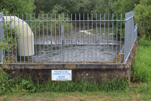
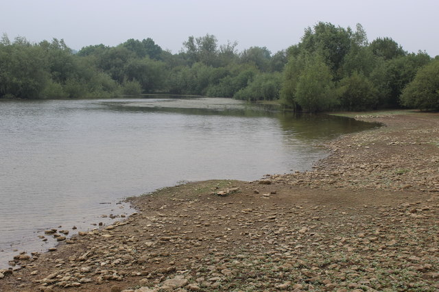
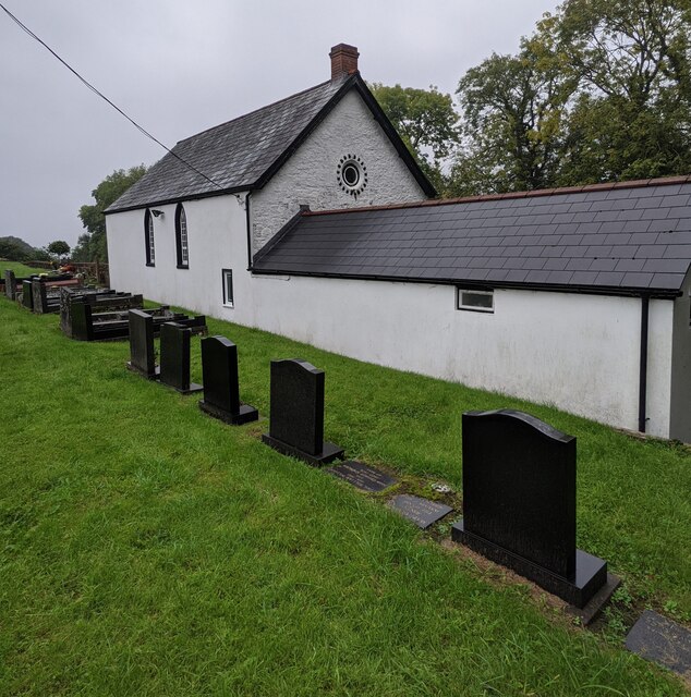
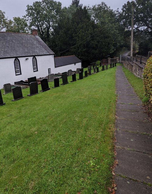
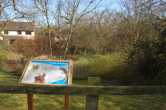
Cilfeigan Park Images

Images are sourced within 2km of 51.696439/-2.9446211 or Grid Reference SO3400. Thanks to Geograph Open Source API. All images are credited.

Entrance to car park, reservoir inlet The Trail from Yew Tree Farm <a href="https://www.geograph.org.uk/photo/5792241">SO3200 : Footpath down to Yew Tree Farmhouse</a> turns right at the trail's signpost on the highway and heads through the reservoir gates. Access to this area is restricted in the winter.
Entrance to car park, reservoir inlet
The Trail from Yew Tree Farm SO3200 : Footpath down to Yew Tree Farmhouse turns right at the trail's signpost on the highway and heads through the reservoir gates. Access to this area is restricted in the winter.
Way to bird hide, inlet car park From the picnic site (foreground) the path goes through the gate to the hide a few yards further on to the left. A notice nearby states that access is restricted to permit holders.
Way to bird hide, inlet car park
From the picnic site (foreground) the path goes through the gate to the hide a few yards further on to the left. A notice nearby states that access is restricted to permit holders.
Anglers' entrance to edge of Llandegfedd reservoir Only anglers and birdwatchers with permits allowed through gate!
Anglers' entrance to edge of Llandegfedd reservoir
Only anglers and birdwatchers with permits allowed through gate!
Northern inlet, Llandegfedd Reservoir View from bird hide a few yards from the Trail.
Northern inlet, Llandegfedd Reservoir
View from bird hide a few yards from the Trail.
River outfall, Llandegfedd Reservoir Raw water, pumped from the River Usk by the Prioress Mill Pumping Station north west of Usk, enters the enclosed concrete pound, spills over into a channel and flows into the reservoir. The Trail passes by the near railings on a permissive path.
River outfall, Llandegfedd Reservoir
Raw water, pumped from the River Usk by the Prioress Mill Pumping Station north west of Usk, enters the enclosed concrete pound, spills over into a channel and flows into the reservoir. The Trail passes by the near railings on a permissive path.
Shore of Llandegfedd Reservoir Shore of an inlet on the north east part of the reservoir, which does not appear to be full. This littoral area is closed to the public from 1 November to 1 March as it used by overwintering wildfowl.
Shore of Llandegfedd Reservoir
Shore of an inlet on the north east part of the reservoir, which does not appear to be full. This littoral area is closed to the public from 1 November to 1 March as it used by overwintering wildfowl.
Victorian postbox, Glascoed, Monmouthshire In a wall near crossroads.
Victorian postbox, Glascoed, Monmouthshire
In a wall near crossroads.
Bilingual lane name sign, Glascoed, Monmouthshire The sign shows that Glascoed Lane is Lôn y Glascoed in Welsh.
Bilingual lane name sign, Glascoed, Monmouthshire
The sign shows that Glascoed Lane is Lôn y Glascoed in Welsh.
Dead-end School Road, Glascoed, Monmouthshire School Road is on the south side of crossroads.
Dead-end School Road, Glascoed, Monmouthshire
School Road is on the south side of crossroads.
Golf course and chapel direction signs, Glascoed, Monmouthshire The signs for a golf course (Cwrs Golff in Welsh) and Mount Zion Baptist Chapel are alongside Coed-Chambers Road near crossroads. A bus shelter and a litter bin are on the left.
Golf course and chapel direction signs, Glascoed, Monmouthshire
The signs for a golf course (Cwrs Golff in Welsh) and Mount Zion Baptist Chapel are alongside Coed-Chambers Road near crossroads. A bus shelter and a litter bin are on the left.
Coed-Chambers Road, Glascoed, Monmouthshire Looking to the ESE along Coed-Chambers Road from the edge of crossroads.
Coed-Chambers Road, Glascoed, Monmouthshire
Looking to the ESE along Coed-Chambers Road from the edge of crossroads.
Signpost at crossroads in Glascoed, Monmouthshire Right for New Inn and Pontypool, left for Coed-y-Paen, behind the camera for Llanbadoc and Usk.
Signpost at crossroads in Glascoed, Monmouthshire
Right for New Inn and Pontypool, left for Coed-y-Paen, behind the camera for Llanbadoc and Usk.
Road from Glascoed towards New Inn and Pontypool Looking west from crossroads.
Road from Glascoed towards New Inn and Pontypool
Looking west from crossroads.
Mount Zion Baptist Church, Glascoed, Monmouthshire Set below road level. Also known as Mount Zion Baptist Chapel, though the nameboard here <a title="https://www.geograph.org.uk/photo/6995019" href="https://www.geograph.org.uk/photo/6995019">Link</a> in 2021 shows Mount Zion Baptist Church.
Mount Zion Baptist Church, Glascoed, Monmouthshire
Set below road level. Also known as Mount Zion Baptist Chapel, though the nameboard here Link in 2021 shows Mount Zion Baptist Church.
Mount Zion Baptist Church nameboard, Glascoed, Monmouthshire The church <a title="https://www.geograph.org.uk/photo/6995016" href="https://www.geograph.org.uk/photo/6995016">Link</a> is in the background.
Mount Zion Baptist Church nameboard, Glascoed, Monmouthshire
The church Link is in the background.
The Manse, Glascoed, Monmouthshire Detached house located near Mount Zion Baptist Church. <a title="https://www.geograph.org.uk/photo/6995016" href="https://www.geograph.org.uk/photo/6995016">Link</a>
The Manse, Glascoed, Monmouthshire
Detached house located near Mount Zion Baptist Church. Link
Gravestones and church, Glascoed, Monmouthshire These gravestones date from the 20th or 21st century. 
Older gravestones <a title="https://www.geograph.org.uk/photo/6995409" href="https://www.geograph.org.uk/photo/6995409">Link</a> are elsewhere in Mount Zion Baptist churchyard.
Gravestones and church, Glascoed, Monmouthshire
These gravestones date from the 20th or 21st century. Older gravestones Link are elsewhere in Mount Zion Baptist churchyard.
Path above a churchyard, Glascoed, Monmouthshire Mount Zion Baptist Church <a title="https://www.geograph.org.uk/photo/6995016" href="https://www.geograph.org.uk/photo/6995016">Link</a> is on the left.
Path above a churchyard, Glascoed, Monmouthshire
Mount Zion Baptist Church Link is on the left.
Show me another place!

Cilfeigan Park is located at Grid Ref: SO3400 (Lat: 51.696439, Lng: -2.9446211)

Unitary Authority: Monmouthshire

Police Authority: Gwent

What 3 Words

///marzipan.officers.gathering. Near Llanbadoc, Monmouthshire

Related Wikis

HM Prison Prescoed

HM Prison Prescoed (Welsh: Carchar Prescoed EF) is a Category D men's open prison, located in Coed-y-paen, three miles from Usk in Monmouthshire, Wales...
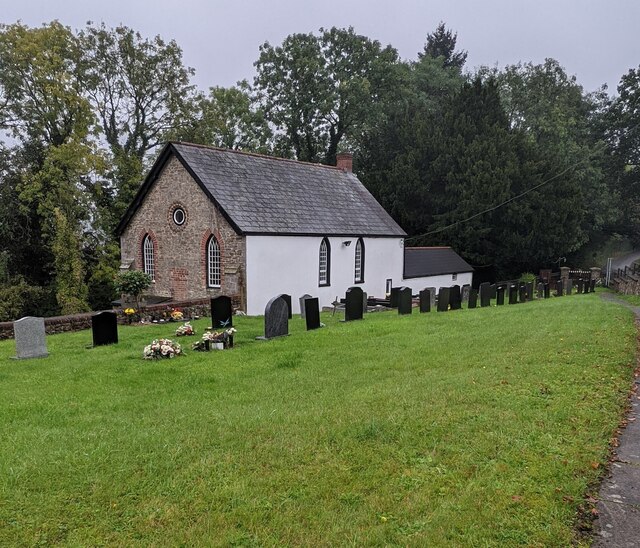
Cefn Ila

Cefn Ila (Welsh: Coed Cefn Ila) is an 83 acres (34 ha) woodland located in Llanbadoc, a mile away from Usk, Monmouthshire, Wales, owned and run by the...
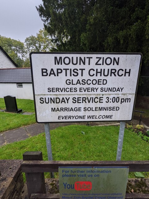
ROF Glascoed

ROF Glascoed (today BAE Systems Munitions Glascoed) was built as a UK government-owned, Royal Ordnance Factory (ROF). It was designed as one of 20 munitions...

Llandegfedd Reservoir

Llandegfedd Reservoir (also known as Llandegveth Reservoir) is a large 174 hectare water supply reservoir and is eight miles (13 km) north of Newport...

Usk Inlier

The Usk Inlier is a domed outcrop of rock strata of Silurian age in Monmouthshire in south-eastern Wales. It is located in the countryside between the...

Coed-y-paen

Coed-y-paen is a village in South Wales, situated at the south-eastern end of Llandegfedd Reservoir, 2.5 miles (4 km) north-west of Llangybi. HM Prison...

Glascoed Halt railway station

Glascoed Halt was a request stop on the former Coleford, Monmouth, Usk and Pontypool Railway. It was opened in 1927 to serve the village of Glascoed, Monmouthshire...

Battle of Pwll Melyn

The Battle of Pwll Melyn (also known as the Battle of Usk), was a battle between the Welsh and English on 5 May 1405, it was part of the Glyndŵr Rising...

Nearby Amenities

Located within 500m of 51.696439,-2.9446211
Direction: SSE
Generator Method: photovoltaic
Generator Output Electricity: yes
Generator Solar Modules: 12
Generator Source: solar
Generator Type: solar_photovoltaic_panel
Location: roof
Power: generator
Lat/Long: 51.6937184/-2.9467741
Power: pole
Lat/Long: 51.6927746/-2.9413744
Power: pole
Lat/Long: 51.6928025/-2.9425996
Power: pole
Lat/Long: 51.6928133/-2.943459
Power: pole
Lat/Long: 51.692833/-2.9444619
Power: pole
Lat/Long: 51.6928532/-2.9454145
Power: pole
Lat/Long: 51.6928753/-2.9468894
Power: pole
Lat/Long: 51.6939128/-2.9505749
Power: pole
Lat/Long: 51.6935081/-2.949602
Power: pole
Lat/Long: 51.6929004/-2.9482824
The data included in this document is from www.openstreetmap.org. The data is made available under ODbL.

Have you been to Cilfeigan Park?

Leave your review of Cilfeigan Park below (or comments, questions and feedback).