Coed Henry
Wood, Forest in Monmouthshire
Wales
Coed Henry

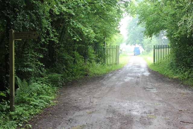
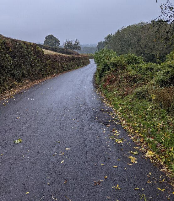
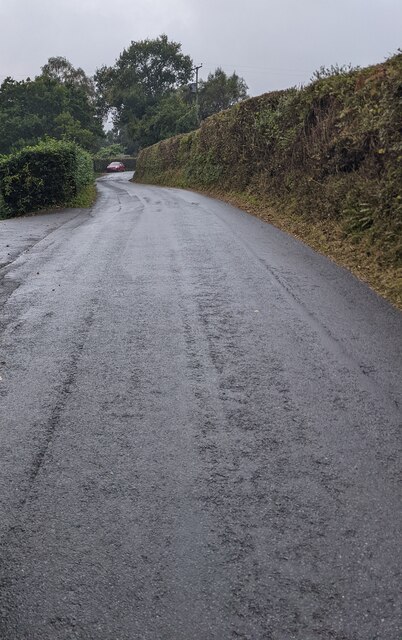
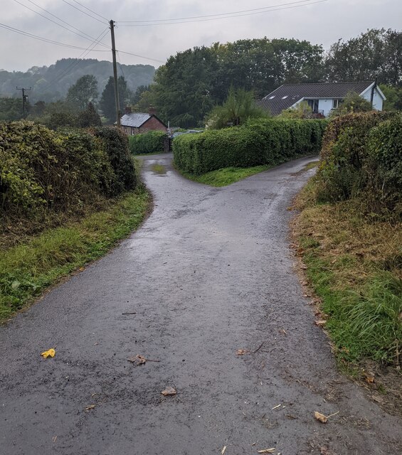
Coed Henry is a charming woodland area located in Monmouthshire, Wales. Situated amidst the picturesque countryside, it covers a vast expanse of land with dense forests and lush greenery. With its serene ambiance and natural beauty, Coed Henry attracts visitors seeking tranquility and outdoor activities.
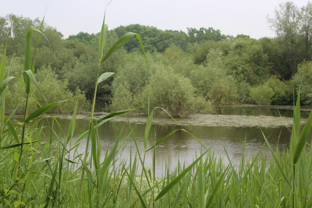
The woodland is home to a diverse range of tree species, including oak, beech, and birch, which create a stunning canopy overhead. The forest floor is adorned with a carpet of bluebells and other wildflowers, adding a touch of vibrant color to the surroundings.
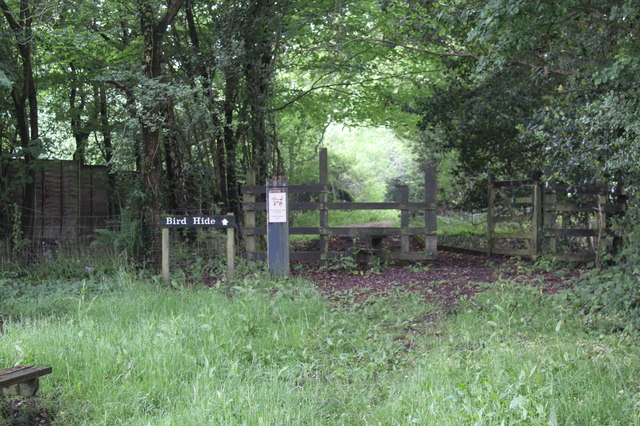
Coed Henry offers a variety of recreational opportunities for nature enthusiasts. There are well-maintained walking trails that crisscross through the woodland, allowing visitors to explore and appreciate the natural wonders. These trails cater to all levels of fitness and provide breathtaking views of the surrounding landscape.
Birdwatchers will be delighted to discover the rich avian population in Coed Henry. The woodland is a haven for numerous bird species, including woodpeckers, owls, and various songbirds. It is a fantastic spot for birdwatching, providing ample opportunities to observe these beautiful creatures in their natural habitat.
Furthermore, Coed Henry is a treasure trove of wildlife. It is not uncommon to spot deer, rabbits, and squirrels among the trees. The forest provides a safe haven for these animals and contributes to the overall biodiversity of the area.
Whether it's a leisurely stroll, birdwatching, or simply immersing oneself in nature's embrace, Coed Henry offers an idyllic setting for all nature lovers to enjoy. With its peaceful atmosphere and stunning scenery, it is a true gem in the heart of Monmouthshire.
If you have any feedback on the listing, please let us know in the comments section below.
Coed Henry Images
Images are sourced within 2km of 51.697848/-2.9527244 or Grid Reference SO3400. Thanks to Geograph Open Source API. All images are credited.


Coed Henry is located at Grid Ref: SO3400 (Lat: 51.697848, Lng: -2.9527244)
Unitary Authority: Monmouthshire
Police Authority: Gwent
What 3 Words
///clotting.tastes.statement. Near Llanbadoc, Monmouthshire
Nearby Locations
Related Wikis

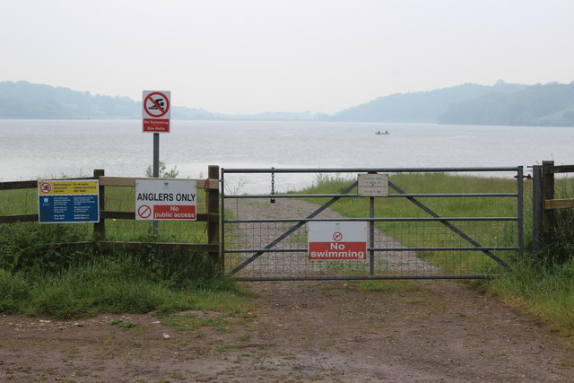
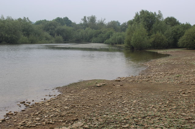
Llandegfedd Reservoir
Llandegfedd Reservoir (also known as Llandegveth Reservoir) is a large 174 hectare water supply reservoir and is eight miles (13 km) north of Newport...

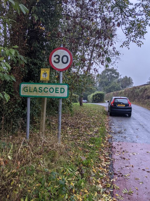
ROF Glascoed
ROF Glascoed (today BAE Systems Munitions Glascoed) was built as a UK government-owned, Royal Ordnance Factory (ROF). It was designed as one of 20 munitions...
HM Prison Prescoed
HM Prison Prescoed (Welsh: Carchar Prescoed EF) is a Category D men's open prison, located in Coed-y-paen, three miles from Usk in Monmouthshire, Wales...
Cefn Ila
Cefn Ila (Welsh: Coed Cefn Ila) is an 83 acres (34 ha) woodland located in Llanbadoc, a mile away from Usk, Monmouthshire, Wales, owned and run by the...

Coed-y-paen
Coed-y-paen is a village in South Wales, situated at the south-eastern end of Llandegfedd Reservoir, 2.5 miles (4 km) north-west of Llangybi. HM Prison...
Glascoed Halt railway station
Glascoed Halt was a request stop on the former Coleford, Monmouth, Usk and Pontypool Railway. It was opened in 1927 to serve the village of Glascoed, Monmouthshire...
Battle of Pwll Melyn
The Battle of Pwll Melyn (also known as the Battle of Usk), was a battle between the Welsh and English on 5 May 1405, it was part of the Glyndŵr Rising...
Monkswood, Monmouthshire
Monkswood (Welsh: Coed y Mynach) is a village in Monmouthshire, south east Wales, United Kingdom. == Location == Monkswood is located two miles west of...
Nearby Amenities
Located within 500m of 51.697848,-2.9527244Have you been to Coed Henry?
Leave your review of Coed Henry below (or comments, questions and feedback).