Cockpit Wood

Wood, Forest in Denbighshire

Wales

Cockpit Wood

Railway crossing the A483 near Wrexham
Railway crossing the A483 near Wrexham Credit: Roy Hughes

Cockpit Wood is a picturesque forest located in Denbighshire, Wales. Covering an area of approximately 100 acres, this enchanting woodland offers a tranquil retreat for nature lovers and outdoor enthusiasts alike.

The wood is predominantly made up of broadleaf trees, such as oak, beech, and birch, creating a diverse and vibrant ecosystem. These towering trees provide a canopy that offers shade and shelter to a variety of wildlife species, including birds, squirrels, and deer.

Visitors to Cockpit Wood can explore a network of well-maintained footpaths that wind through the forest, allowing for leisurely strolls and invigorating hikes. The natural beauty of the surroundings is enhanced by the presence of a small stream that meanders through the wood, adding to the peaceful ambiance.

In addition to its natural splendor, Cockpit Wood also boasts a rich historical legacy. The name "Cockpit" is derived from the ancient practice of cockfighting, which is believed to have taken place in the area centuries ago. Although the wood no longer serves this purpose, its name serves as a reminder of its intriguing past.

Overall, Cockpit Wood is a haven for those seeking solace in nature. Its combination of stunning scenery, diverse wildlife, and historical significance make it a must-visit destination for both locals and tourists alike.

If you have any feedback on the listing, please let us know in the comments section below.
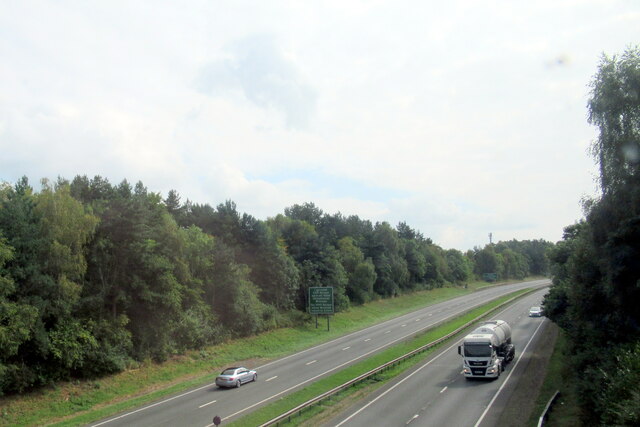
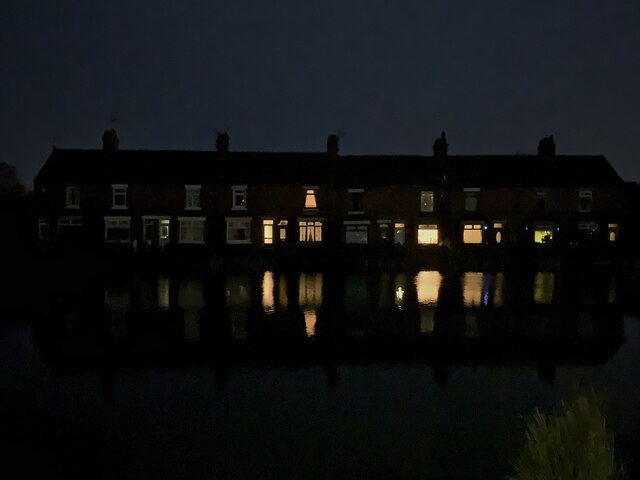
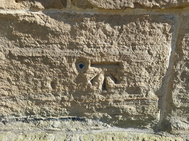
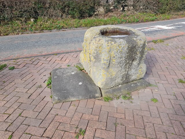
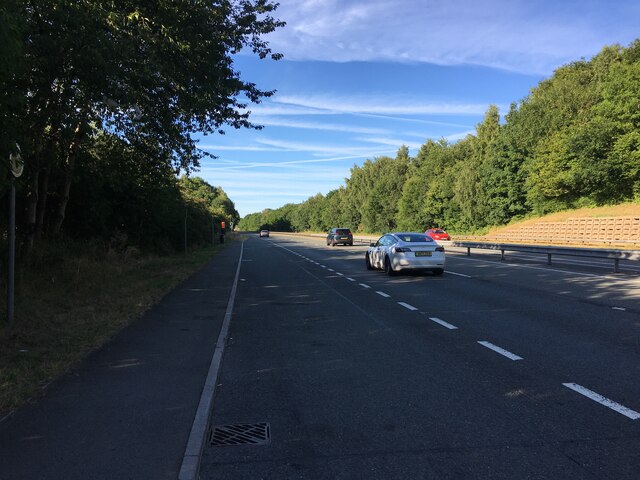
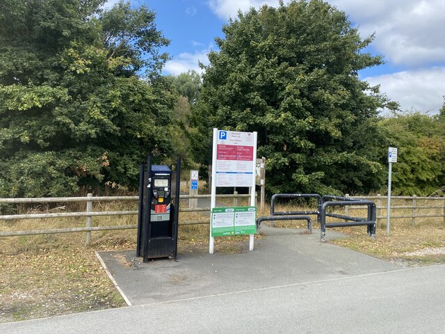
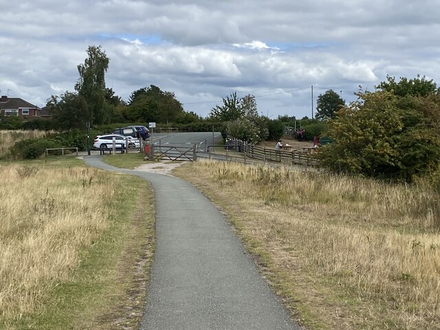
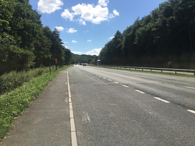
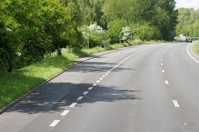
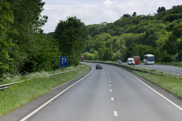
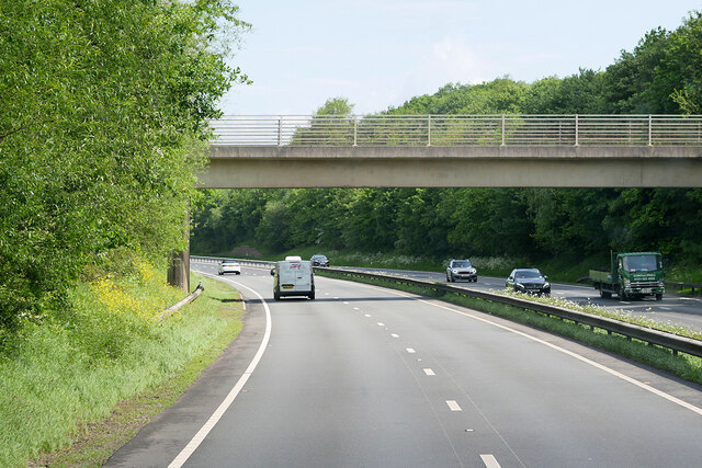
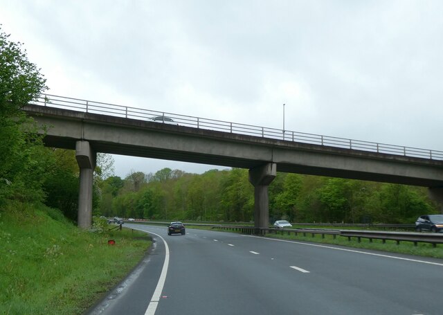
Cockpit Wood Images

Images are sourced within 2km of 53.092865/-2.9832892 or Grid Reference SJ3455. Thanks to Geograph Open Source API. All images are credited.

Railway crossing the A483 near Wrexham
Across The Lake in Gresford
Almost full moon over All Saints, Gresford
Ordnance Survey 1GL Bolt This OS 1GL Bolt can be found on the NW angle of All Saints Church. It marks a point 77.032m above mean sea level.
Ordnance Survey 1GL Bolt
This OS 1GL Bolt can be found on the NW angle of All Saints Church. It marks a point 77.032m above mean sea level.
Old Cross Base
Old Cross Base
Lay-by on the A483 between Wrexham and Chester
Pay and Display At Alyn Waters Country Park.
Pay and Display
At Alyn Waters Country Park.
Woodland path In Alyn Waters Country Park.
Woodland path
In Alyn Waters Country Park.
Path to exit At Alyn Waters Country Park.
Path to exit
At Alyn Waters Country Park.
Lay-by on the A483 towards Wrexham
Layby on the A483 near Gresford The A483 is a major north-south trunk road in Wales, running for 149 miles between Chester and Junction 42 of the M4 motorway just east of Swansea.
<span class="nowrap"><a title="http://www.sabre-roads.org.uk/wiki/index.php?title=A483" rel="nofollow ugc noopener" href="http://www.sabre-roads.org.uk/wiki/index.php?title=A483">Link</a><img style="margin-left:2px;" alt="External link" title="External link - shift click to open in new window" src="https://s1.geograph.org.uk/img/external.png" width="10" height="10"/></span>  SABRE
<span class="nowrap"><a title="https://en.wikipedia.org/wiki/A483_road" rel="nofollow ugc noopener" href="https://en.wikipedia.org/wiki/A483_road">Link</a><img style="margin-left:2px;" alt="External link" title="External link - shift click to open in new window" src="https://s1.geograph.org.uk/img/external.png" width="10" height="10"/></span>  Wikipedia
Layby on the A483 near Gresford
The A483 is a major north-south trunk road in Wales, running for 149 miles between Chester and Junction 42 of the M4 motorway just east of Swansea. LinkExternal link SABRE LinkExternal link Wikipedia
Northbound A483 near Gresford The A483 is a major north-south trunk road in Wales, running for 149 miles between Chester and Junction 42 of the M4 motorway just east of Swansea.
<span class="nowrap"><a title="http://www.sabre-roads.org.uk/wiki/index.php?title=A483" rel="nofollow ugc noopener" href="http://www.sabre-roads.org.uk/wiki/index.php?title=A483">Link</a><img style="margin-left:2px;" alt="External link" title="External link - shift click to open in new window" src="https://s1.geograph.org.uk/img/external.png" width="10" height="10"/></span>  SABRE
<span class="nowrap"><a title="https://en.wikipedia.org/wiki/A483_road" rel="nofollow ugc noopener" href="https://en.wikipedia.org/wiki/A483_road">Link</a><img style="margin-left:2px;" alt="External link" title="External link - shift click to open in new window" src="https://s1.geograph.org.uk/img/external.png" width="10" height="10"/></span>  Wikipedia
Northbound A483 near Gresford
The A483 is a major north-south trunk road in Wales, running for 149 miles between Chester and Junction 42 of the M4 motorway just east of Swansea. LinkExternal link SABRE LinkExternal link Wikipedia
Bridge over the A483 near Marford The A483 is a major north-south trunk road in Wales, running for 149 miles between Chester and Junction 42 of the M4 motorway just east of Swansea.
<span class="nowrap"><a title="http://www.sabre-roads.org.uk/wiki/index.php?title=A483" rel="nofollow ugc noopener" href="http://www.sabre-roads.org.uk/wiki/index.php?title=A483">Link</a><img style="margin-left:2px;" alt="External link" title="External link - shift click to open in new window" src="https://s1.geograph.org.uk/img/external.png" width="10" height="10"/></span>  SABRE
<span class="nowrap"><a title="https://en.wikipedia.org/wiki/A483_road" rel="nofollow ugc noopener" href="https://en.wikipedia.org/wiki/A483_road">Link</a><img style="margin-left:2px;" alt="External link" title="External link - shift click to open in new window" src="https://s1.geograph.org.uk/img/external.png" width="10" height="10"/></span>  Wikipedia
Bridge over the A483 near Marford
The A483 is a major north-south trunk road in Wales, running for 149 miles between Chester and Junction 42 of the M4 motorway just east of Swansea. LinkExternal link SABRE LinkExternal link Wikipedia
Gresford Road bridge over A483
Railway bridge over A483 west of Gresford
Houses on Croeshowell Lane, Burton
Weston House, Narrow Lane, Gresford 1879-2002 Weston House was built by (or for) Frederick Price of Gresford Mills. It was demolished in 2002 by developers and a modern "Weston House" now stands in its place, similar but not the same.
Weston House, Narrow Lane, Gresford 1879-2002
Weston House was built by (or for) Frederick Price of Gresford Mills. It was demolished in 2002 by developers and a modern "Weston House" now stands in its place, similar but not the same.
Footpath into Worms Wood This wood in the Alyn valley is leased by Wrexham Borough from McAlpines, and this footpath doesn't appear as a right of way on the OS map.
Footpath into Worms Wood
This wood in the Alyn valley is leased by Wrexham Borough from McAlpines, and this footpath doesn't appear as a right of way on the OS map.
Show me another place!

Cockpit Wood is located at Grid Ref: SJ3455 (Lat: 53.092865, Lng: -2.9832892)

Unitary Authority: Wrexham

Police Authority: North Wales

What 3 Words

///culminate.changed.bibs. Near Gresford, Wrexham

Nearby Locations

Gresfird Park Cockpit Wood

Related Wikis

Gresford railway station

Gresford (for Llay) Halt was a small railway station located on the Great Western Railway's Paddington to Birkenhead line a few miles north of Wrexham...

All Saints' Church, Gresford

All Saints' Church (Welsh: Eglwys yr Holl Saint) stands in the former coal mining village of Gresford in Wrexham County Borough, Wales. It is a large,...

Chwarel Singret

Chwarel Singret is a Site of Special Scientific Interest in the preserved county of Clwyd, north Wales. == See also == List of Sites of Special Scientific...

All Saints Primary School, Gresford

All Saints Primary School is a primary school in Gresford, Wales. It was built in memory of Thomas Vowler Short, Bishop of St Asaph, in 1874. It is a Grade...

Nearby Amenities

Located within 500m of 53.092865,-2.9832892
Grit Bin
Lat/Long: 53.088813/-2.982766
Power: substation
Lat/Long: 53.093717/-2.98222
Direction: 215
Generator Method: photovoltaic
Generator Output Electricity: yes
Generator Solar Modules: 9
Generator Source: solar
Generator Type: solar_photovoltaic_panel
Location: roof
Power: generator
Lat/Long: 53.0921266/-2.9889961
Direction: 215
Generator Method: photovoltaic
Generator Output Electricity: yes
Generator Solar Modules: 9
Generator Source: solar
Generator Type: solar_photovoltaic_panel
Location: roof
Power: generator
Lat/Long: 53.0921685/-2.9890953
Direction: SSE
Generator Method: photovoltaic
Generator Output Electricity: yes
Generator Solar Modules: 9
Generator Source: solar
Generator Type: solar_photovoltaic_panel
Location: roof
Power: generator
Lat/Long: 53.0921475/-2.9892804
Direction: SSE
Generator Method: photovoltaic
Generator Output Electricity: yes
Generator Solar Modules: 9
Generator Source: solar
Generator Type: solar_photovoltaic_panel
Location: roof
Power: generator
Lat/Long: 53.0920856/-2.9895674
Direction: SSE
Generator Method: photovoltaic
Generator Output Electricity: yes
Generator Solar Modules: 9
Generator Source: solar
Generator Type: solar_photovoltaic_panel
Location: roof
Power: generator
Lat/Long: 53.0920549/-2.9897069
Direction: SSE
Generator Method: photovoltaic
Generator Output Electricity: yes
Generator Solar Modules: 7
Generator Source: solar
Generator Type: solar_photovoltaic_panel
Location: roof
Power: generator
Lat/Long: 53.0919801/-2.9900086
Direction: SSE
Generator Method: photovoltaic
Generator Output Electricity: yes
Generator Solar Modules: 9
Generator Source: solar
Generator Type: solar_photovoltaic_panel
Location: roof
Power: generator
Lat/Long: 53.0918963/-2.9904592
Direction: SSE
Generator Method: photovoltaic
Generator Output Electricity: yes
Generator Solar Modules: 9
Generator Source: solar
Generator Type: solar_photovoltaic_panel
Location: roof
Power: generator
Lat/Long: 53.0918673/-2.9905933
Direction: SE
Generator Method: photovoltaic
Generator Output Electricity: yes
Generator Solar Modules: 9
Generator Source: solar
Generator Type: solar_photovoltaic_panel
Location: roof
Power: generator
Lat/Long: 53.0911441/-2.9893997
Singret
Name Cy: Singret
Name En: Singret
Place: locality
Wikidata: Q107032928
Lat/Long: 53.0939142/-2.9836432
The data included in this document is from www.openstreetmap.org. The data is made available under ODbL.

Have you been to Cockpit Wood?

Leave your review of Cockpit Wood below (or comments, questions and feedback).