Ty-gwyn Wood

Wood, Forest in Monmouthshire

Wales

Ty-gwyn Wood

Pant-y-goffry A farm in the middle of nowhere! Actually, Monmouthshire.
Pant-y-goffry Credit: Jonathan Billinger

Ty-gwyn Wood is a picturesque woodland located in Monmouthshire, Wales. Covering an area of approximately 10 hectares, the woodland is a haven for nature enthusiasts and offers a tranquil escape from the bustling city life.

The wood is predominantly made up of broadleaf trees, including oak, beech, and ash, which create a dense and lush canopy. The towering trees provide ample shade, making it a perfect spot for a leisurely stroll on a sunny day. The forest floor is adorned with an array of wildflowers, such as bluebells and primroses, adding a burst of color to the landscape.

Several walking trails wind their way through the wood, allowing visitors to explore its natural beauty and discover the diverse wildlife that calls it home. It is not uncommon to spot various bird species, including woodpeckers and owls, as well as small mammals like foxes and squirrels.

Ty-gwyn Wood is also known for its rich history, with evidence of ancient settlements and burial mounds scattered throughout the area. Archaeological enthusiasts can marvel at these remnants of the past and imagine what life was like in this enchanting woodland centuries ago.

Overall, Ty-gwyn Wood offers a peaceful retreat for nature lovers and history buffs alike. With its stunning scenery, abundant wildlife, and fascinating historical significance, it is a must-visit destination in Monmouthshire.

If you have any feedback on the listing, please let us know in the comments section below.
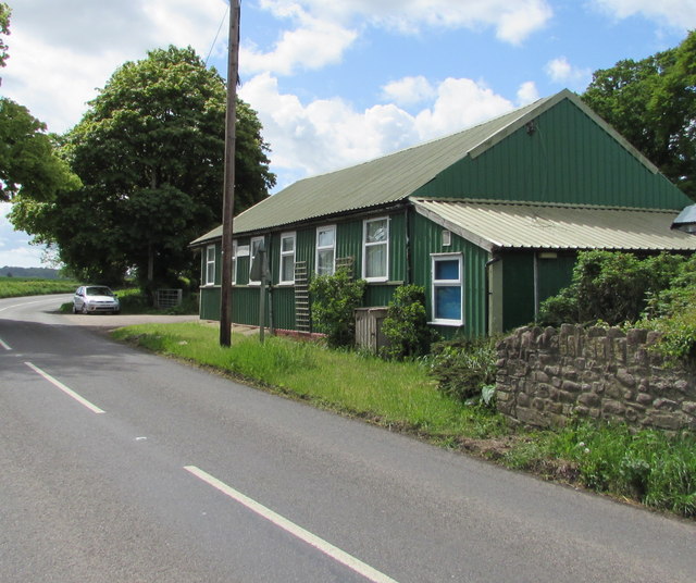
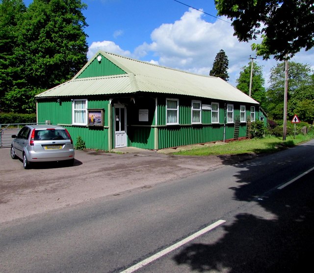
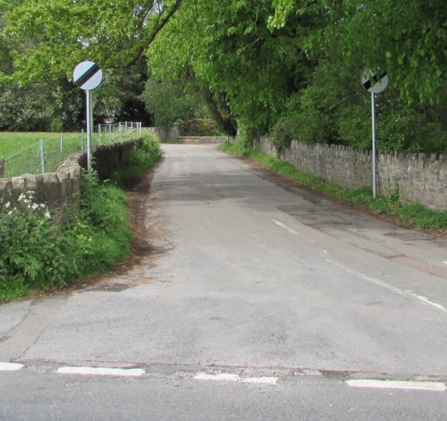
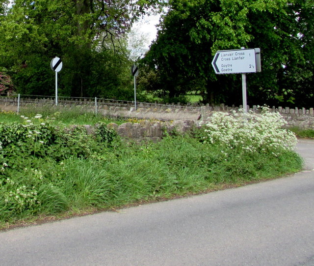
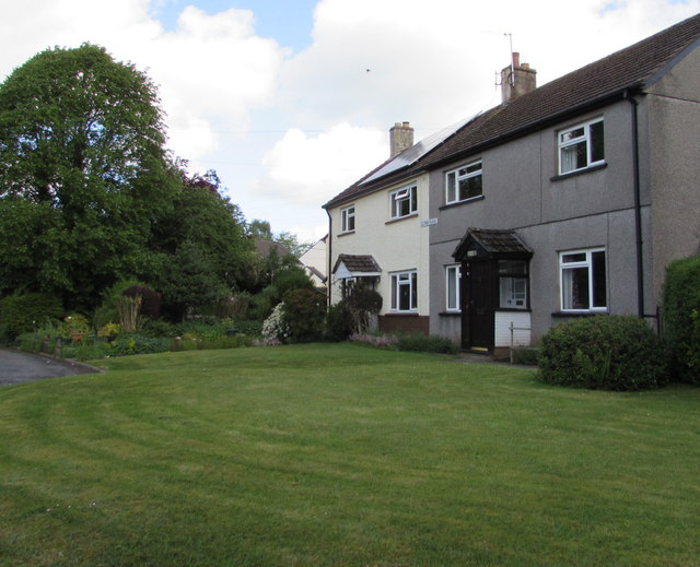
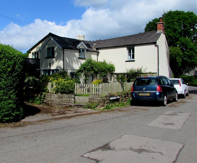
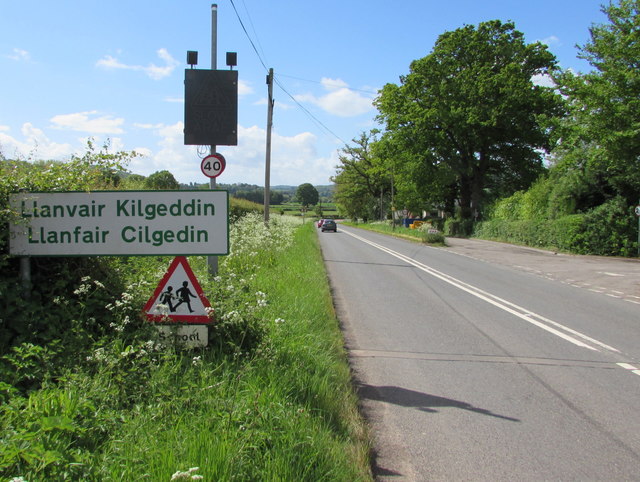
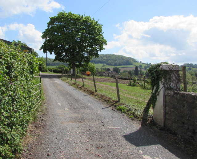
Ty-gwyn Wood Images

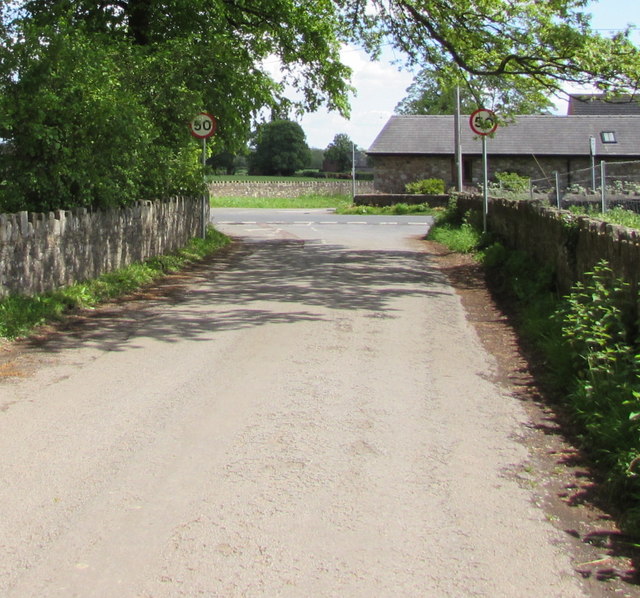
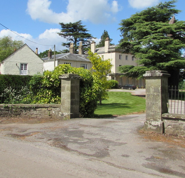
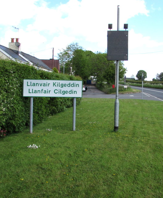
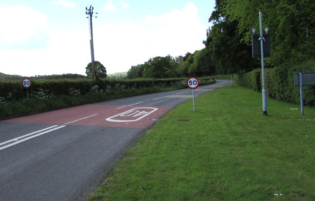
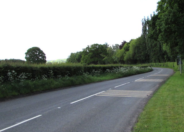
Images are sourced within 2km of 51.765398/-2.9552185 or Grid Reference SO3407. Thanks to Geograph Open Source API. All images are credited.

Pant-y-goffry A farm in the middle of nowhere! Actually, Monmouthshire.
Pant-y-goffry
A farm in the middle of nowhere! Actually, Monmouthshire.
Llanfair Kilgeddin Village Hall Corrugated metal building on the west side of the B4598 in rural Monmouthshire between Usk and Abergavenny.
<a title="https://www.geograph.org.uk/photo/5390430" href="https://www.geograph.org.uk/photo/5390430">Link</a> to another view of the hall.
Llanfair Kilgeddin Village Hall
Corrugated metal building on the west side of the B4598 in rural Monmouthshire between Usk and Abergavenny. Link to another view of the hall.
Llanfair Kilgeddin Village Hall Corrugated metal building on the west side of the B4598 in rural Monmouthshire between Usk and Abergavenny.
<a title="https://www.geograph.org.uk/photo/5390425" href="https://www.geograph.org.uk/photo/5390425">Link</a> to another view of the hall.
Llanfair Kilgeddin Village Hall
Corrugated metal building on the west side of the B4598 in rural Monmouthshire between Usk and Abergavenny. Link to another view of the hall.
Minor road west from Llanfair Kilgeddin, Monmouthshire Viewed across the B4598. A nearby sign <a title="https://www.geograph.org.uk/photo/5390440" href="https://www.geograph.org.uk/photo/5390440">Link</a> pointing this way shows Llanvair Cross 1 (mile), Goytre 2½.
The 50mph speed limit increases to the National Speed Limit ahead.
Minor road west from Llanfair Kilgeddin, Monmouthshire
Viewed across the B4598. A nearby sign Link pointing this way shows Llanvair Cross 1 (mile), Goytre 2½. The 50mph speed limit increases to the National Speed Limit ahead.
Direction and distances sign, Llanfair Kilgeddin, Monmouthshire Facing northbound traffic on the B4598 on the corner of this <a title="https://www.geograph.org.uk/photo/5390433" href="https://www.geograph.org.uk/photo/5390433">Link</a> minor road junction.
Direction and distances sign, Llanfair Kilgeddin, Monmouthshire
Facing northbound traffic on the B4598 on the corner of this Link minor road junction.
End of the National Speed Limit, Llanfair Kilgeddin, Monmouthshire The National Speed Limit on the minor road from Llanvair Cross
and Goytre drops to 50mph on the approach to the B4598 junction.
End of the National Speed Limit, Llanfair Kilgeddin, Monmouthshire
The National Speed Limit on the minor road from Llanvair Cross and Goytre drops to 50mph on the approach to the B4598 junction.
Grade II Listed Pant-y-Goitre House, Llanfair Kilgeddin, Monmouthshire Built in c1726 with later major changes. Grade II listed in 1956.
Grade II Listed Pant-y-Goitre House, Llanfair Kilgeddin, Monmouthshire
Built in c1726 with later major changes. Grade II listed in 1956.
Southern boundary of Llanvair Kilgeddin, Monmouthshire The boundary sign is alongside the B4598 at the southern edge of Llanvair Kilgeddin, a small village between Usk and Abergavenny. The village is also Llanfair Kilgeddin in English and Llanfair Cilgedin in Welsh.
Southern boundary of Llanvair Kilgeddin, Monmouthshire
The boundary sign is alongside the B4598 at the southern edge of Llanvair Kilgeddin, a small village between Usk and Abergavenny. The village is also Llanfair Kilgeddin in English and Llanfair Cilgedin in Welsh.
From 40 to 50 beyond Llanfair Kilgeddin, Monmouthshire The 40mph speed limit on the B4598 increases to 50mph beyond the southern edge of  Llanfair Kilgeddin. 
Part of the grey back of the village boundary sign <a title="https://www.geograph.org.uk/photo/5391758" href="https://www.geograph.org.uk/photo/5391758">Link</a> is on the right.
From 40 to 50 beyond Llanfair Kilgeddin, Monmouthshire
The 40mph speed limit on the B4598 increases to 50mph beyond the southern edge of Llanfair Kilgeddin. Part of the grey back of the village boundary sign Link is on the right.
B4598 from Llanfair Kilgeddin towards Kemeys Commander, Monmouthshire The lines on the right side of the road are on the approach to a drop in
the speed limit at the southern edge of Llanfair Kilgeddin in rural Monmouthshire.
B4598 from Llanfair Kilgeddin towards Kemeys Commander, Monmouthshire
The lines on the right side of the road are on the approach to a drop in the speed limit at the southern edge of Llanfair Kilgeddin in rural Monmouthshire.
Village phonebox, Llanfair Kilgeddin, Monmouthshire  The BT public pay phonebox is near the village primary school. A public noticeboard is on the left.
Village phonebox, Llanfair Kilgeddin, Monmouthshire
The BT public pay phonebox is near the village primary school. A public noticeboard is on the left.
From 20 to 40 in Llanfair Kilgeddin, Monmouthshire  The 20mph speed limit near the village primary school increases to 40mph on the B4598 ahead.
Direction signs alongside the hedge on the right show left for Abergavenny, right for Usk.
From 20 to 40 in Llanfair Kilgeddin, Monmouthshire
The 20mph speed limit near the village primary school increases to 40mph on the B4598 ahead. Direction signs alongside the hedge on the right show left for Abergavenny, right for Usk.
Queen Elizabeth II postbox surrounded by nettles,  Llanfair Kilgeddin, Monmouthshire Located here. <a title="https://www.geograph.org.uk/photo/5391824" href="https://www.geograph.org.uk/photo/5391824">Link</a>
Queen Elizabeth II postbox surrounded by nettles, Llanfair Kilgeddin, Monmouthshire
Located here. Link
Gethin Place houses, Llanfair Kilgeddin, Monmouthshire The name sign on the wall of the two semi-detached houses shows GETHIN PLACE.
Gethin Place houses, Llanfair Kilgeddin, Monmouthshire
The name sign on the wall of the two semi-detached houses shows GETHIN PLACE.
Forge Cottage, Llanfair Kilgeddin, Monmouthshire Llanfair Kilgeddin is a small village between Usk and Abergavenny.
Forge Cottage, Llanfair Kilgeddin, Monmouthshire
Llanfair Kilgeddin is a small village between Usk and Abergavenny.
Llanvair Kilgeddin boundary sign, Monmouthshire The boundary sign is alongside the B4598. 
Llanvair Kilgeddin is a small village between Usk and Abergavenny. 
The village is also Llanfair Kilgeddin in English and Llanfair Cilgedin in Welsh.
Llanvair Kilgeddin boundary sign, Monmouthshire
The boundary sign is alongside the B4598. Llanvair Kilgeddin is a small village between Usk and Abergavenny. The village is also Llanfair Kilgeddin in English and Llanfair Cilgedin in Welsh.
Glanusk Farm access road, Llanfair Kilgeddin, Monmouthshire From the east side of the B4598.
Glanusk Farm access road, Llanfair Kilgeddin, Monmouthshire
From the east side of the B4598.
From 40 to 50 on the B4598, Llanfair Kilgeddin, Monmouthshire The 40mph speed limit on the B4598 near the main residential part of the village increases to 50mph ahead.
From 40 to 50 on the B4598, Llanfair Kilgeddin, Monmouthshire
The 40mph speed limit on the B4598 near the main residential part of the village increases to 50mph ahead.
Show me another place!

Ty-gwyn Wood is located at Grid Ref: SO3407 (Lat: 51.765398, Lng: -2.9552185)

Unitary Authority: Monmouthshire

Police Authority: Gwent

What 3 Words

///prepped.joggers.conveying. Near Llanarth, Monmouthshire

Related Wikis

Llanfair Kilgeddin

Llanfair Kilgeddin (Welsh: Llanfair Cilgedin) is a small village in Monmouthshire, south east Wales, lying within the administrative community of Llanover...

Llanfair Grange

Llanfair Grange, Nant-y-derry, Monmouthshire is a country house dating from the 18th century. It was extensively remodelled in the early 19th century in...

Pant-y-Goitre Bridge

Pant-y-Goitre Bridge crosses the River Usk between Abergavenny and Usk near the village of Llanfair Kilgeddin. The bridge carries the B4598. It was constructed...

Llanvair railway station

Llanvair railway station served the village of Llanvair Discoed, in the historical county of Monmouthshire, Wales, in 1854 on the Newport, Abergavenny...

Nearby Amenities

Located within 500m of 51.765398,-2.9552185
Direction: 145
Generator Method: photovoltaic
Generator Output Electricity: yes
Generator Solar Modules: 21
Generator Source: solar
Generator Type: solar_photovoltaic_panel
Location: roof
Power: generator
Lat/Long: 51.7661401/-2.9621565
Community Centre
Gwent Beekeepers CIO
Addr City: Abergavenny
Addr Housename: The Holden Apiary & Study Centre
Addr Postcode: NP7 9DY
Addr Street: Llanover Road
Addr Suburb: Llanfair Kilgeddin
Alt Name: Gwent Beekeepers
Contact Facebook: https://www.facebook.com/gbkcio/
Email: secretary@gwentbeekeepers.co.uk
Website: https://gwentbeekeepers.co.uk/
Lat/Long: 51.7621244/-2.951817
The data included in this document is from www.openstreetmap.org. The data is made available under ODbL.

Have you been to Ty-gwyn Wood?

Leave your review of Ty-gwyn Wood below (or comments, questions and feedback).