Black Ven Wood
Wood, Forest in Radnorshire
Wales
Black Ven Wood
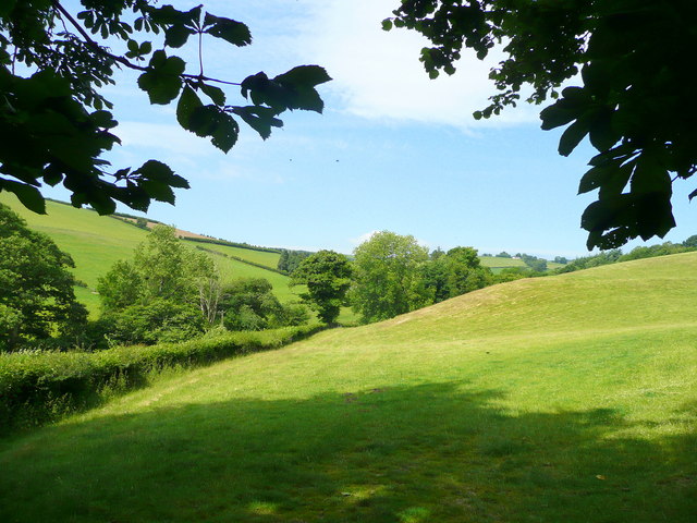
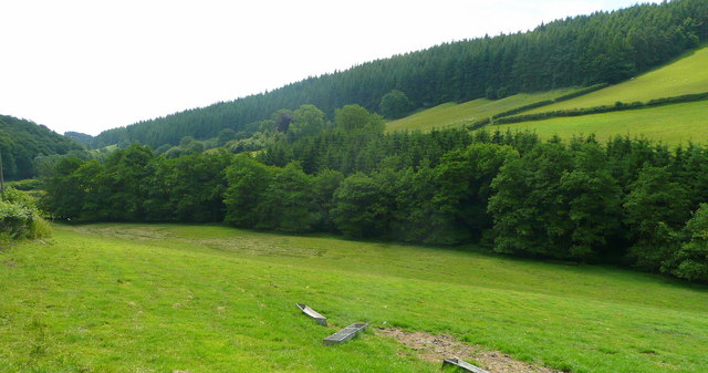
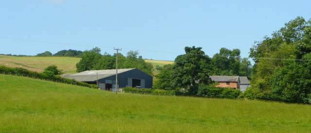
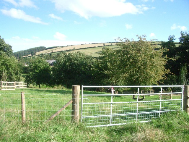
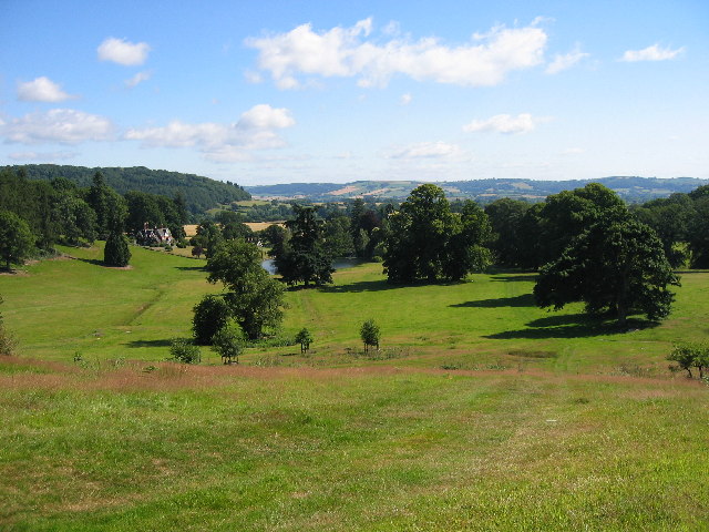
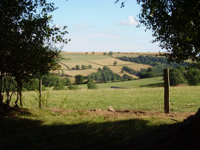
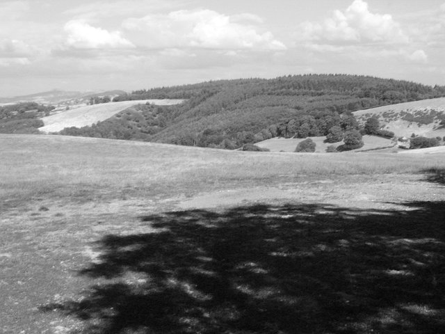
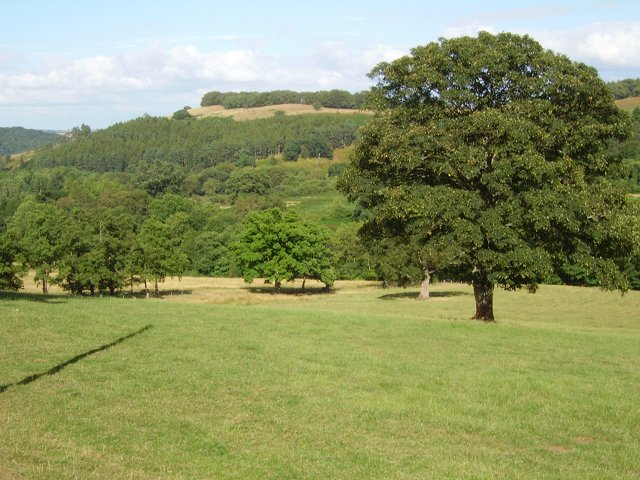
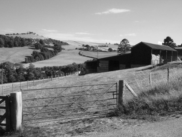
Black Ven Wood is a picturesque woodland located in Radnorshire, Wales. Covering an area of approximately 100 hectares, it is a popular destination for nature lovers, hikers, and wildlife enthusiasts. The wood is situated on the eastern slopes of the Radnor Forest and is surrounded by stunning rolling hills and breathtaking landscapes.
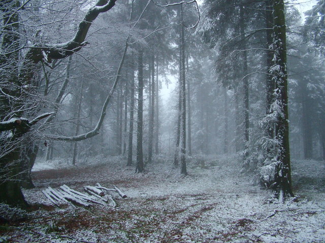
The wood itself is predominantly composed of broadleaf trees, such as oak, beech, and birch, creating a rich and diverse ecosystem. These trees provide a dense canopy, allowing only dappled sunlight to filter through to the forest floor. This creates a cool and tranquil atmosphere, perfect for those seeking a peaceful retreat in nature.
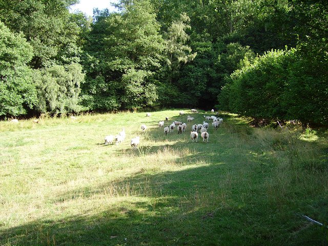
Walking through Black Ven Wood, visitors can discover a variety of flora and fauna. The woodland floor is adorned with a carpet of wildflowers, including bluebells, wood anemones, and primroses, which bloom in abundance during the spring months. Bird enthusiasts will delight in the opportunity to spot a wide array of species, such as woodpeckers, nuthatches, and tree creepers. Additionally, the wood is home to a number of mammals, including badgers, foxes, and deer.
There are several well-marked trails that wind their way through the wood, offering visitors the chance to explore its beauty at their own pace. These paths lead to captivating viewpoints, where one can marvel at the stunning vistas of the surrounding countryside.
Overall, Black Ven Wood is a captivating and enchanting forest, offering a peaceful sanctuary for those seeking solace in nature's embrace. Its breathtaking scenery, diverse wildlife, and tranquil atmosphere make it a must-visit destination for any nature lover.
If you have any feedback on the listing, please let us know in the comments section below.
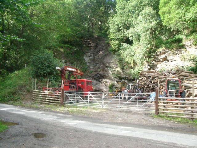
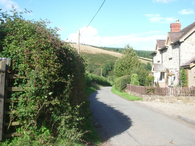
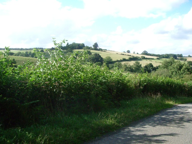
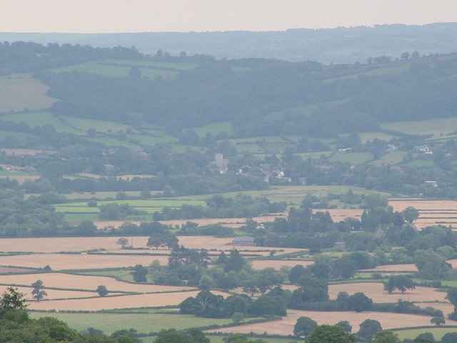
Black Ven Wood Images
Images are sourced within 2km of 52.331697/-2.9677999 or Grid Reference SO3470. Thanks to Geograph Open Source API. All images are credited.


Black Ven Wood is located at Grid Ref: SO3470 (Lat: 52.331697, Lng: -2.9677999)
Unitary Authority: Powys
Police Authority: Dyfed Powys
What 3 Words
///lamplight.keyboards.monk. Near Bucknell, Shropshire
Nearby Locations
Related Wikis

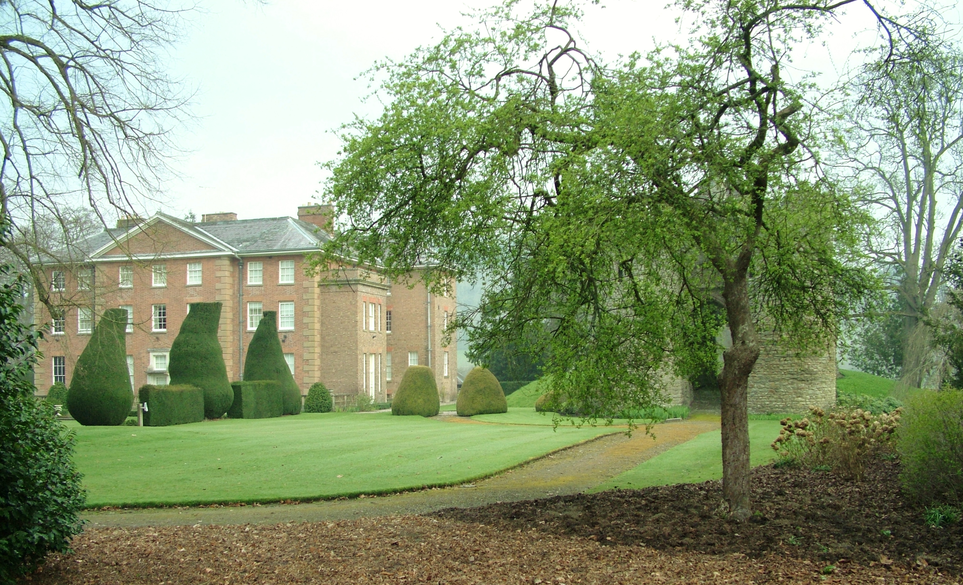
Stanage Park
Stanage Park is a Grade II* listed Welsh country house set in a large park located some 3 miles (4.8 km) east of Knighton, Powys near the settlement of...

Heartsease, Knighton
Heartsease is a small settlement or hamlet in Powys, Wales. It is close to the border with England and lies near the junction of the two counties of Herefordshire...
Birtley, Herefordshire
Birtley is a hamlet in north Herefordshire, in England. It is situated to the west of Ludlow and Leominster, approximately 16 km (9.9 mi) from both towns...

Bucknell railway station
Bucknell railway station serves the village of Bucknell in Shropshire, England 28+1⁄4 miles (45.5 km) south west of Shrewsbury on the Heart of Wales Line...
Brampton Bryan Hall
Brampton Bryan Hall is a 17th-century English country house in the village of Brampton Bryan, Herefordshire. It is still owned by the descendants of Robert...

Brampton Bryan Castle
Brampton Bryan Castle is a ruined medieval castle in the small village of Brampton Bryan in north-western Herefordshire, England, 50m south of the River...
Milebrook
Milebrook is a hamlet in Powys, Wales. == Location == Milebrook is located on a crossroads of the A4113 road almost alongside the Afon Tefeidiad that,...

Bucknell, Shropshire
Bucknell is a village and civil parish in south Shropshire, England. The village lies on the River Redlake, within 660 yards (600 m) of the River Teme...
Nearby Amenities
Located within 500m of 52.331697,-2.9677999Have you been to Black Ven Wood?
Leave your review of Black Ven Wood below (or comments, questions and feedback).