Yorke's Dingles

Wood, Forest in Denbighshire

Wales

Yorke's Dingles

View across Reynold's Grave View across the fields which according to the OS map has the odd name of Reynold's Grave.
View across Reynold's Grave Credit: Jeff Buck

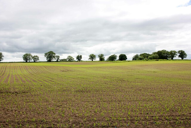
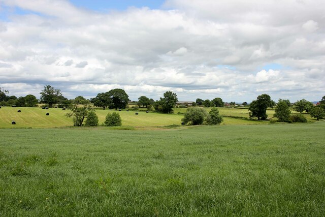
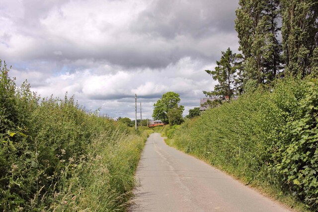
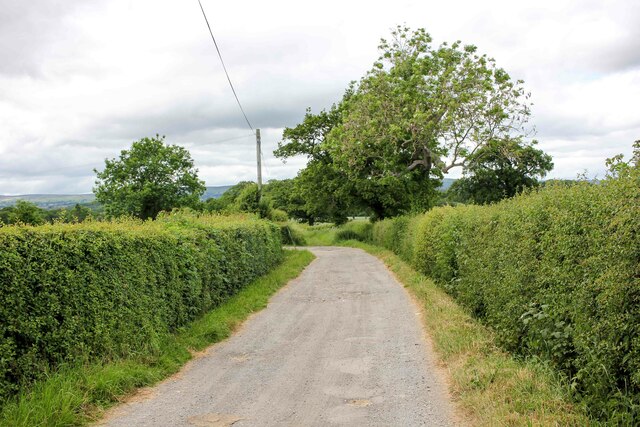
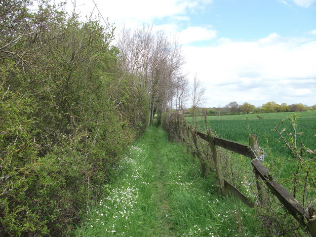
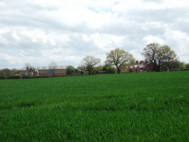
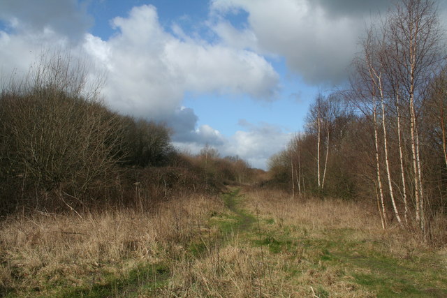
Yorke's Dingles is a picturesque woodland located in Denbighshire, Wales. Spread across a sprawling area of land, this enchanting forest is a haven for nature lovers and outdoor enthusiasts alike. The woodland is known for its rich biodiversity and stunning landscapes, offering visitors a peaceful retreat from the bustling city life.

The forest is home to a variety of plant and animal species, making it an ideal destination for wildlife enthusiasts. From towering oak and beech trees to vibrant wildflowers and ferns, the flora here is diverse and beautiful. The forest floor is covered in a lush carpet of moss and fallen leaves, creating a serene and tranquil atmosphere.

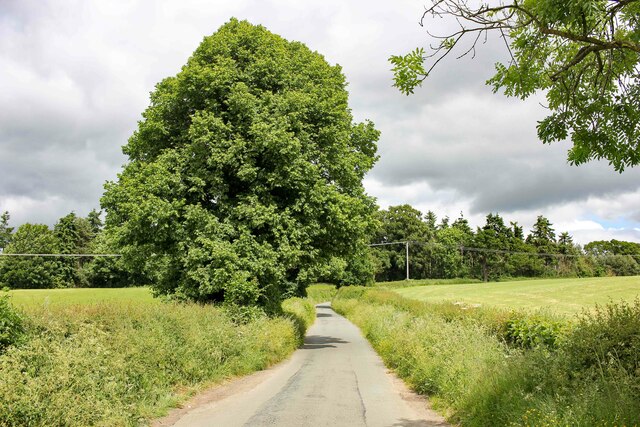
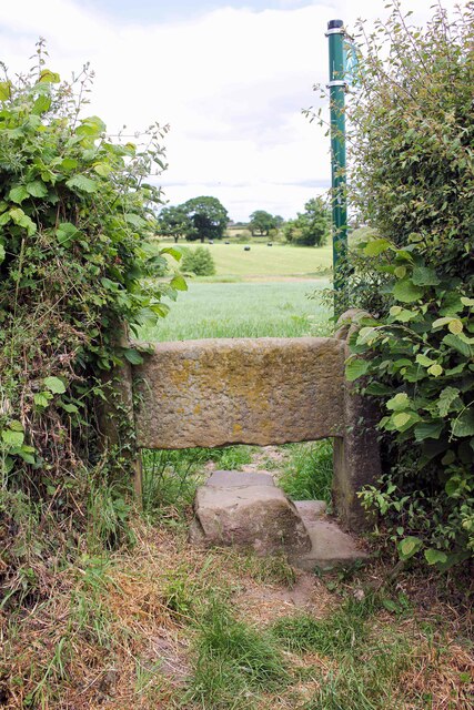
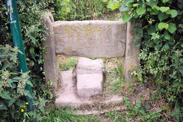
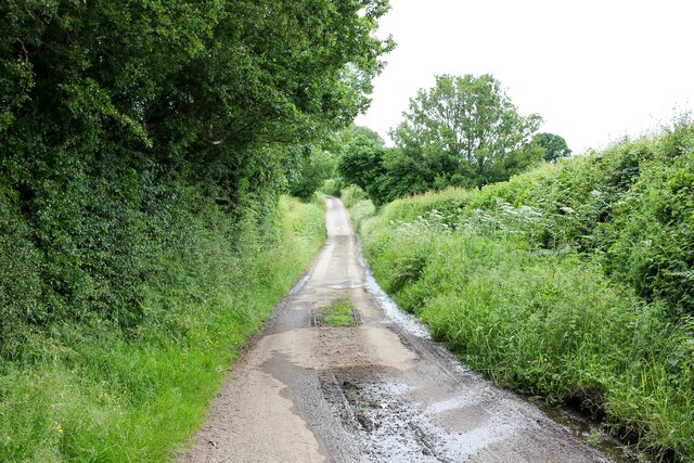
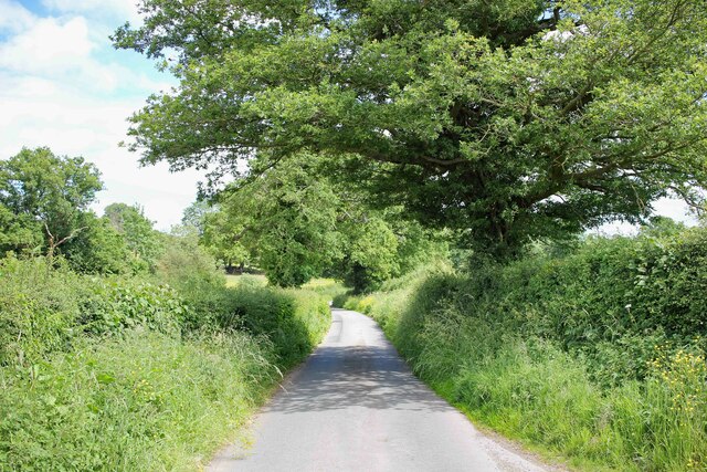
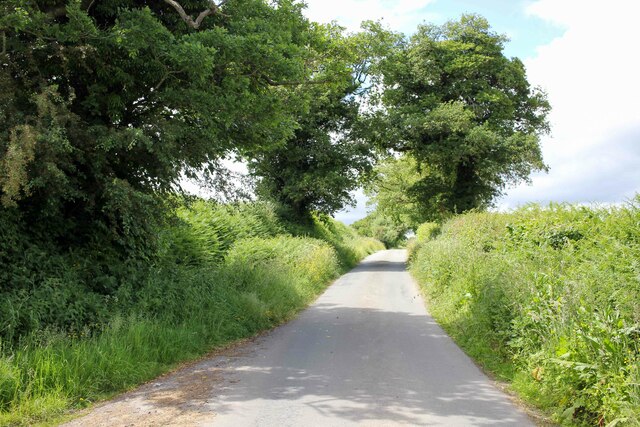
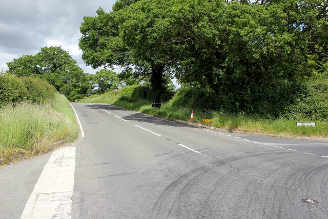
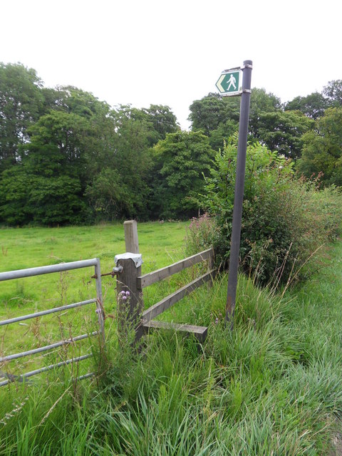
Yorke's Dingles offers several walking trails, allowing visitors to explore the forest at their own pace. The trails wind through the woods, offering breathtaking views of the surrounding hills and valleys. The forest is also crisscrossed by a meandering stream, adding to its scenic beauty.

The woodland is a popular spot for birdwatching, with a wide range of avian species calling it home. Visitors can spot colorful birds such as woodpeckers, nuthatches, and jays, as well as various migratory birds during the appropriate seasons.

Yorke's Dingles is a nature lover's paradise, providing a serene escape from the noise and stress of everyday life. Whether it's a leisurely walk, birdwatching, or simply immersing oneself in the natural beauty, this woodland offers a rejuvenating experience for all who visit.

If you have any feedback on the listing, please let us know in the comments section below.

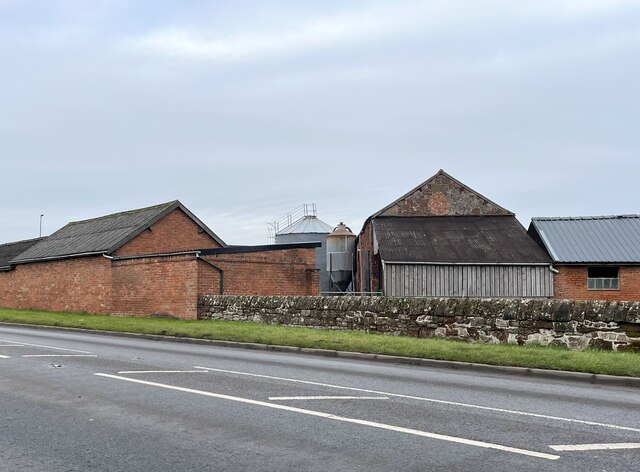
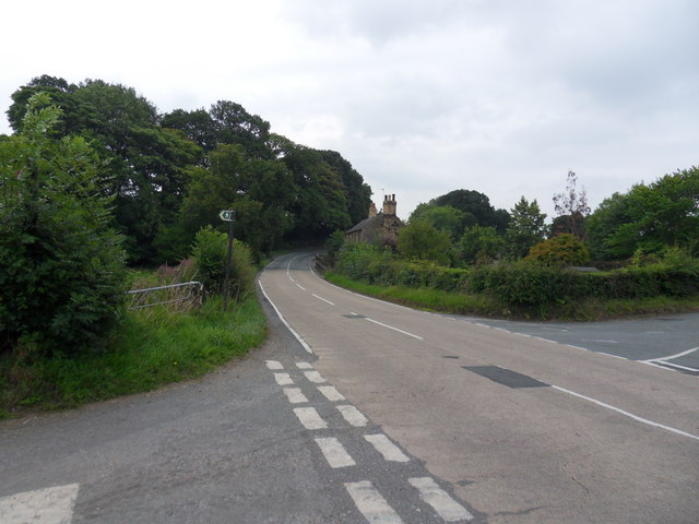
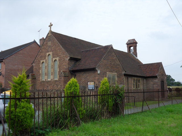
Yorke's Dingles Images

Images are sourced within 2km of 53.003792/-2.9829026 or Grid Reference SJ3445. Thanks to Geograph Open Source API. All images are credited.

View across Reynold's Grave View across the fields which according to the OS map has the odd name of Reynold's Grave.
View across Reynold's Grave
View across the fields which according to the OS map has the odd name of Reynold's Grave.
Marchwiel Hall Lane near Erddig Heading west along Marchwiel Hall Lane to the east of Erddig Hall.
Marchwiel Hall Lane near Erddig
Heading west along Marchwiel Hall Lane to the east of Erddig Hall.
Stile off Woodhouse Lane An old stone stile off Stonehouse Lane near Old Hall Farm.
Stile off Woodhouse Lane
An old stone stile off Stonehouse Lane near Old Hall Farm.
Towards Marchwiel A public footpath across the fields heading towards Marchwiel.
Towards Marchwiel
A public footpath across the fields heading towards Marchwiel.
Stile off Woodhouse Lane An old stone stile off Stonehouse Lane near Old Hall Farm.
Stile off Woodhouse Lane
An old stone stile off Stonehouse Lane near Old Hall Farm.
Woodhouse Lane Heading south along the narrow Woodhouse Lane towards Cock Bank.
Woodhouse Lane
Heading south along the narrow Woodhouse Lane towards Cock Bank.
Bwgan-ddu Lane Looking east along Bwgan-ddu Lane between Sontley and Cock Bank.
Bwgan-ddu Lane
Looking east along Bwgan-ddu Lane between Sontley and Cock Bank.
Bwgan-ddu Lane Looking west along Bwgan-ddu Lane between Sontley and Cock Bank.
Bwgan-ddu Lane
Looking west along Bwgan-ddu Lane between Sontley and Cock Bank.
Cockbank Lane Looking North-northwest along Cockbank Lane towards Pentre Mailyn south of Wrexham.
Cockbank Lane
Looking North-northwest along Cockbank Lane towards Pentre Mailyn south of Wrexham.
The A528 (Overton Road) at Cock Bank Looking north along the A528 (Overton Road) at Cock Bank at the junction of Cockbank Lane and the B5130 (Pentre Nant Lane).
The A528 (Overton Road) at Cock Bank
Looking north along the A528 (Overton Road) at Cock Bank at the junction of Cockbank Lane and the B5130 (Pentre Nant Lane).
Lane near Woodlands Cottages Heading south towards the B5426.
Lane near Woodlands Cottages
Heading south towards the B5426.
Lane to Sontley Road Marked on the OS map as a short on-road cycle route this lane heads west towards Sontley Road.
Lane to Sontley Road
Marked on the OS map as a short on-road cycle route this lane heads west towards Sontley Road.
Farm buildings at Eyton House
The B5426 Cross roads along the B5426, right turn to Gyfelia, left into Sontley Road.
The B5426
Cross roads along the B5426, right turn to Gyfelia, left into Sontley Road.
Gyfelia Path Footpath adjacent to Sontley Road off the B5426, leads to Gyfelia Wood.
Gyfelia Path
Footpath adjacent to Sontley Road off the B5426, leads to Gyfelia Wood.
St Deiniol's Built in 1939, St Deiniol's, Eyton.
St Deiniol's
Built in 1939, St Deiniol's, Eyton.
Llwybr Clawdd Wat heading North towards Sontley The Wat's Dyke Way covers 99km from Llanymynech to Holywell and this section is along beside the earthwork.
<span class="nowrap"><a title="http://www.watsdykeway.org/1.html" rel="nofollow ugc noopener" href="http://www.watsdykeway.org/1.html">Link</a><img style="margin-left:2px;" alt="External link" title="External link - shift click to open in new window" src="https://s1.geograph.org.uk/img/external.png" width="10" height="10"/></span>
Llwybr Clawdd Wat heading North towards Sontley
The Wat's Dyke Way covers 99km from Llanymynech to Holywell and this section is along beside the earthwork. LinkExternal link
Moreton View and Clwt Cottages Farm steading with modern buildings and a row of cottages across the road. The crop in the foreground is winter wheat.
Moreton View and Clwt Cottages
Farm steading with modern buildings and a row of cottages across the road. The crop in the foreground is winter wheat.
Show me another place!

Yorke's Dingles is located at Grid Ref: SJ3445 (Lat: 53.003792, Lng: -2.9829026)

Unitary Authority: Wrexham

Police Authority: North Wales

What 3 Words

///apparatus.wake.clasping. Near Marchwiel, Wrexham

Nearby Locations

Oak Wood Yorke's Dingles

Related Wikis

Wrexham Maelor

Wrexham Maelor (Welsh: Wrecsam Maelor) was a local government district with borough status, being one of six districts in the county of Clwyd, north-east...

Marchwiel Hall

Marchwiel Hall is a Grade II listed building in the village of Marchwiel, Wrexham County Borough in North Wales. == History == Marchwiel Hall was a seat...

Marchwiel

Marchwiel (Welsh: Marchwiail; standardised: Marchwiel) is a village and community in Wrexham County Borough, Wales. It is about 2 miles south-east of Wrexham...

Marchwiel railway station

Marchwiel railway station was a station in Marchwiel, Wrexham, Wales. The station was opened on 2 November 1895 and closed on 10 September 1962. ��2�...

Erddig

Erddig Hall (Welsh: Neuadd Erddig; or simply Erddig; Welsh pronunciation: [ˈɛrðɪɡ]) is a Grade-I listed National Trust property near Wrexham, North Wales...

A525 road

The A525 is a major route from Rhyl in Wales to Newcastle-under-Lyme in England. The route passes near Denbigh, through Ruthin, through Wrexham and near...

Bonc yr Hafod

Bonc yr Hafod (Welsh for 'Hafod Bank') is a country park, on the former site of Hafod Colliery, near Johnstown and Pentre Bychan in Wrexham County Borough...

Johnstown and Hafod railway station

Johnstown & Hafod was a minor station on the Great Western Railway's London to Birkenhead main line. Although the station is gone the railway is still...

Nearby Amenities

Located within 500m of 53.003792,-2.9829026
Place: farm
Lat/Long: 53.0051486/-2.9887327
The data included in this document is from www.openstreetmap.org. The data is made available under ODbL.

Have you been to Yorke's Dingles?

Leave your review of Yorke's Dingles below (or comments, questions and feedback).